Plizio Visual Lab
Silvretta
Weather…
Water temperature…
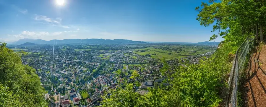
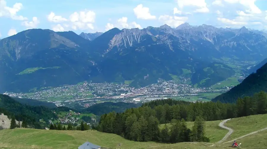
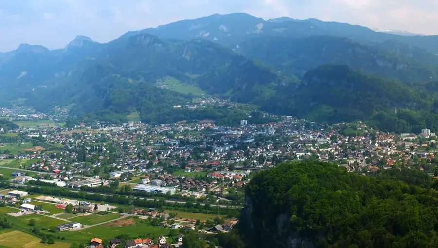
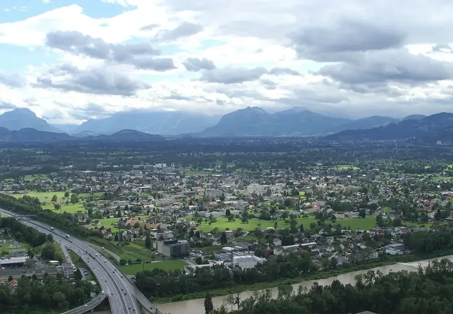
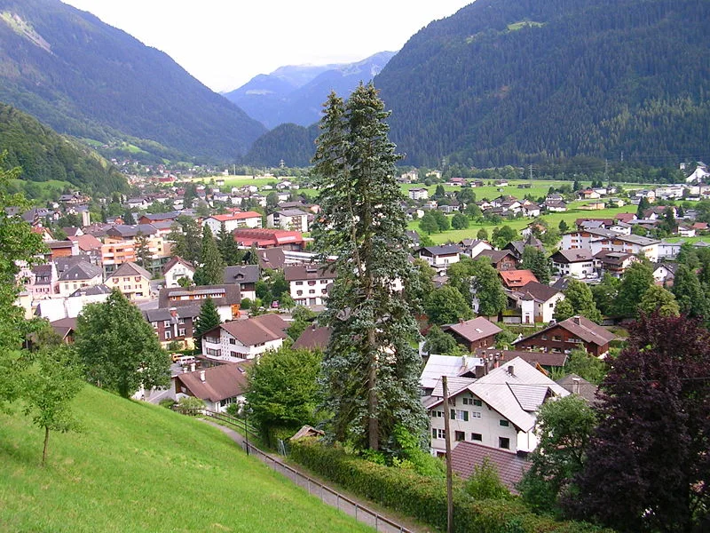
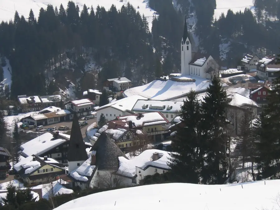
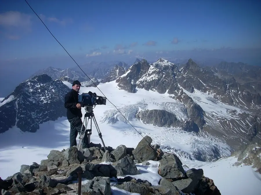
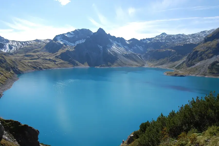
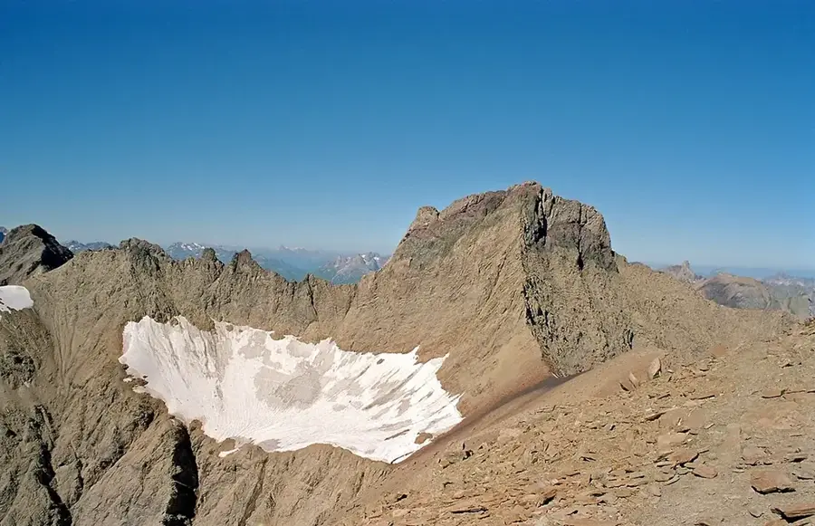
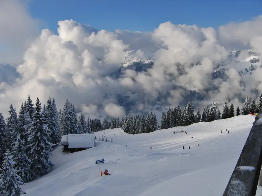
The Silvretta is a high mountain group in the Central Eastern Alps, forming the border between the Austrian states of Tyrol and Vorarlberg and the Swiss canton of Grisons. It is famously known as the 'Blue Silvretta', a name referring to the region's intense glaciation, although glacier areas have significantly receded in recent decades. The highest peak on Austrian soil is the Fluchthorn at 3399 meters, while Piz Linard in Switzerland towers over the entire group at 3411 meters. Geologically, the massif consists mainly of crystalline rocks such as gneiss and granite, resulting in a massive and feature-rich mountain world. The Silvretta High Alpine Road is one of Austria's most spectacular mountain pass roads, connecting the Montafon valley with the Paznaun valley and reaching its peak at Bielerhöhe. This tourism development has made the region a center for mountaineering and winter sports, with resorts like Ischgl being world-famous. In summer, numerous reservoirs, especially the Silvretta Reservoir, provide not only energy for the region but also an impressive backdrop for hikers. Fauna includes ibexes, chamois, and marmots, which are widespread across the high alpine meadows.
- Location: Vorarlberg, Austria
- Top sights: Hohes Rad · Hennekopf · Henne Spitze
- Nearby: Gaschurn (13 km)
Best time to visit & climate
The most pleasant time to visit is Jul–Sep.
| Jan | Feb | Mar | Apr | May | Jun | Jul | Aug | Sep | Oct | Nov | Dec | |
|---|---|---|---|---|---|---|---|---|---|---|---|---|
| Avg °C | -8 | -8 | -4 | 1 | 6 | 10 | 12 | 11 | 7 | 3 | -2 | -7 |
| Rain mm | 93 | 70 | 90 | 88 | 146 | 170 | 167 | 184 | 122 | 101 | 90 | 93 |
📋 Practical info
Geography
Facts
- Piz Linard is the highest peak of the group at 3411 meters.
- The Fluchthorn is the highest mountain in Vorarlberg at 3399 m.
- The Silvretta High Alpine Road features a total of 34 hairpins.
- The Silvretta Reservoir is located at an altitude of 2030 meters.
- Ernest Hemingway spent winters in the Montafon region of Silvretta.
- There are over 70 glaciers within the Silvretta group.
Explore nearby
Notable places around
Route planner — Car & Motorhome
Where do you start? We build the route here, with stops and country notes along the way.
© OpenStreetMap contributors · OpenRouteService
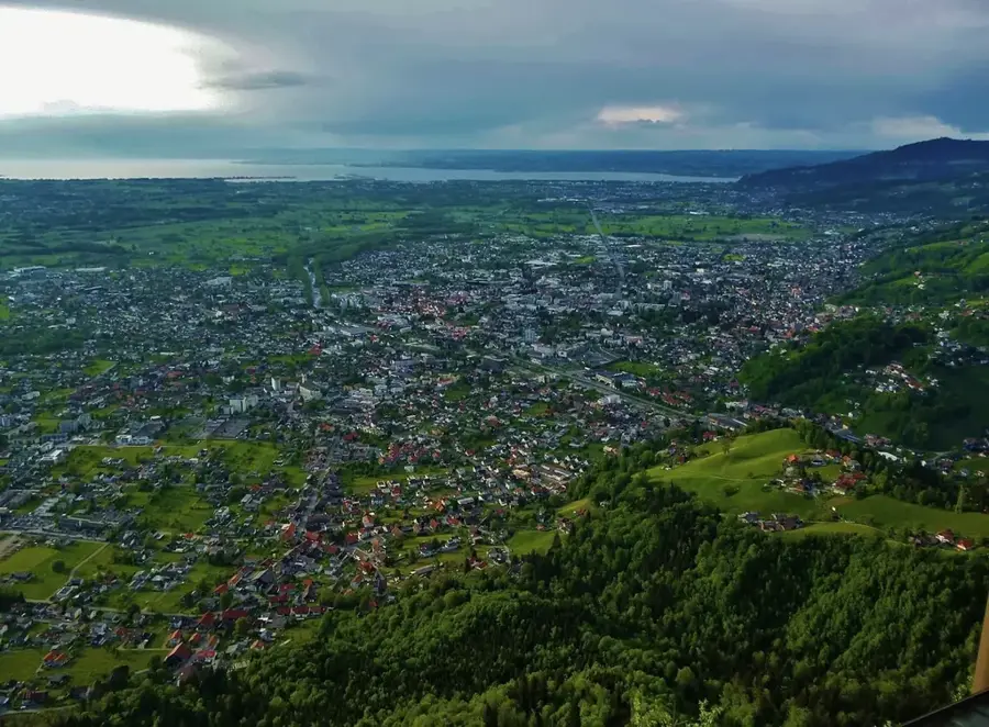
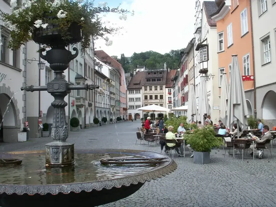
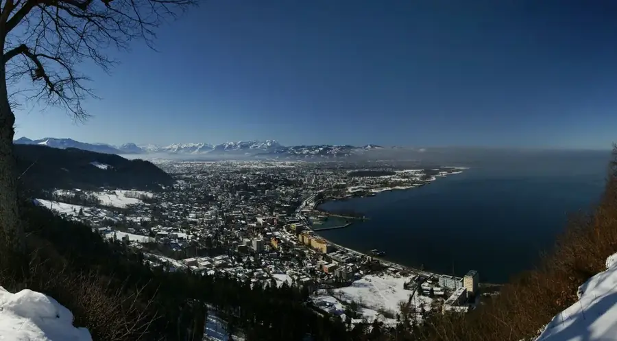
Sights in the town Silvretta (3)
Sights nearby
Frequently asked questions
Where is the Silvretta located?
What is the Silvretta High Alpine Road?
Which peak is the most famous?
Why is it called 'Blue Silvretta'?
Can you ski in summer?
Silvretta: where is it located?
Silvretta: what is there to see?
Silvretta: when is the best time to visit?
Silvretta: why is it worth visiting?

Nearby cities