Plizio Visual Lab
Moçâmedes
ℹ️Practical info — Moçâmedes
▾
🌤 Weather — 5 days
📍 Nearby
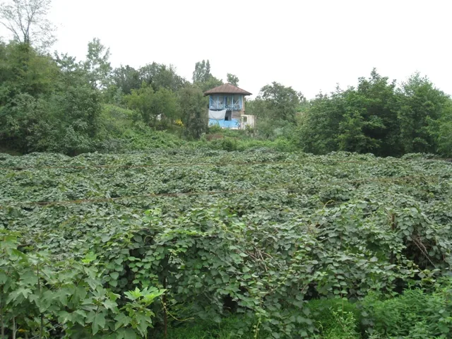
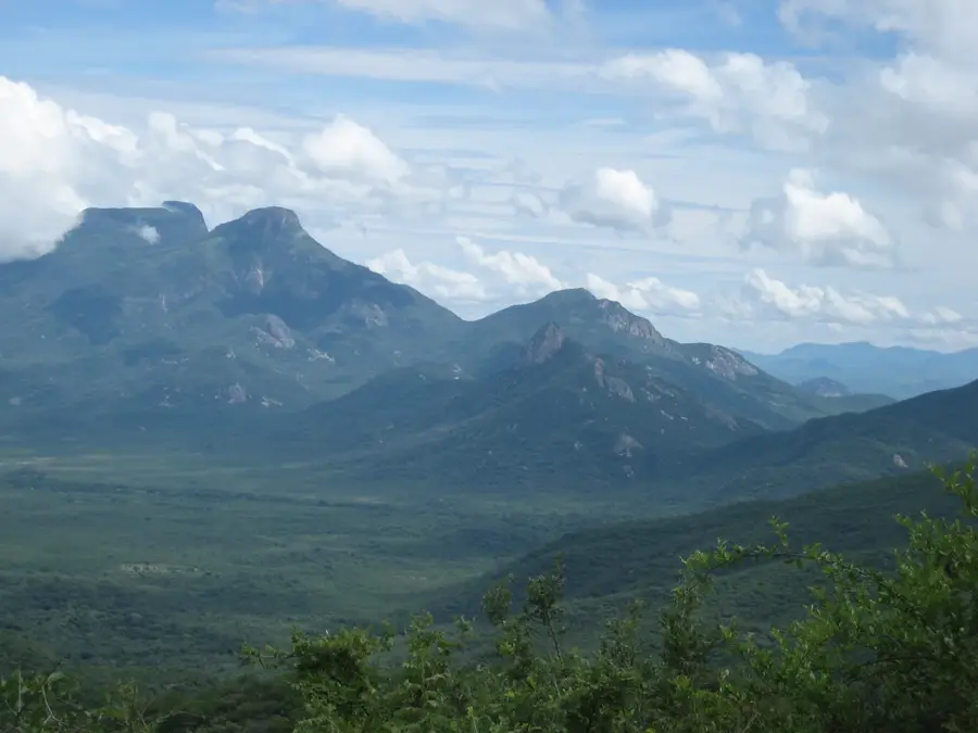
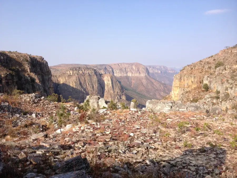
Sights nearby
💡 Tips
- The coastal climate is cooler and drier than the rest of Angola due to the Benguela Current; bring a light jacket for evenings.
- For exploring the nearby Namib Desert and seeing the ancient Welwitschia plants, hiring a 4x4 with a local guide is highly recommended.
- The city center, with its Art Deco and colonial architecture, is very walkable and best explored on foot.
- Keep in mind that many smaller businesses close for a lunch break (siesta) during the hottest part of the day.
- If traveling towards the desert or remote beaches, stock up on drinking water and supplies at the local markets first.
🍽 Food
Extremely fresh along the coast; head to the restaurants along the Marginal (promenade).
A traditional Angolan dish of dried fish and vegetables, widely available in local eateries.
The staple cassava flour porridge, usually served with hearty meat or fish stews.
🛍 Shopping · 🧘 Quiet spots
The bustling central market where you can find fresh produce, local spices, and daily goods.
High-quality local sea salt is produced in the region and makes for a unique, practical souvenir.
Brightly colored traditional prints can be found in informal markets around town.
The seaside promenade is relatively peaceful and excellent for a relaxing sunset stroll.
A serene stretch of sand just outside the main city center, well-suited for quiet contemplation.
Water temperature…
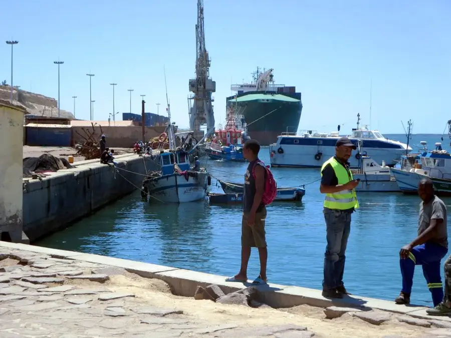
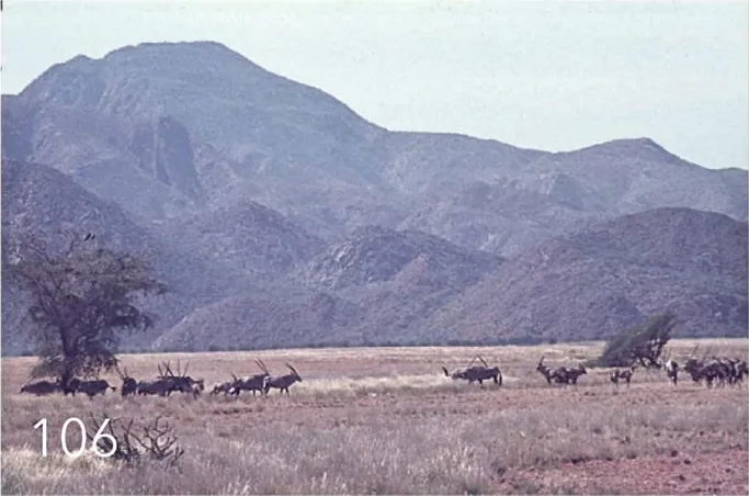
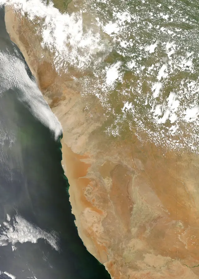
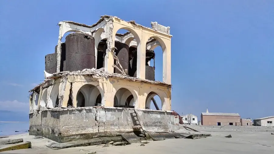
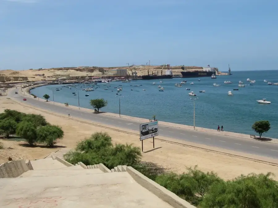
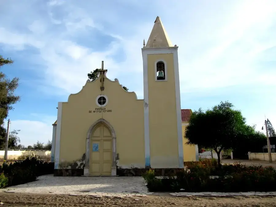
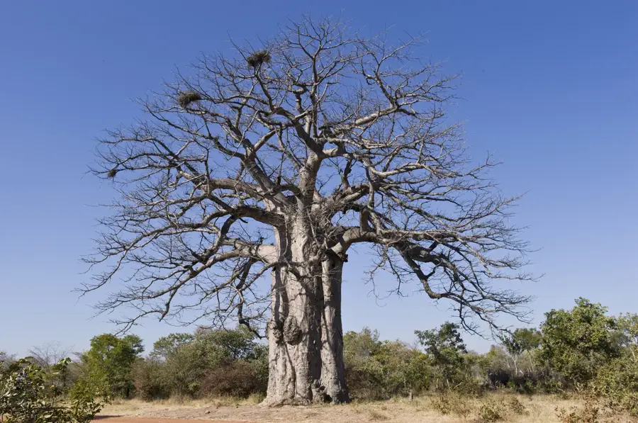
Moçâmedes, the coastal capital of Namibe Province in southwestern Angola, is a city defined by its dramatic location between the Atlantic Ocean and the Namib Desert. Founded by the Portuguese in 1840, specifically by settlers from Pernambuco, Brazil, it was established as a strategic outpost to secure the southern coast. The city’s climate is unique for Angola, being classified as a cool desert climate; the cold Benguela Current mitigates tropical temperatures, resulting in a temperate but extremely dry environment. Geographically, it sits near the mouth of the Bero River, which flows only during rare torrential rains in the interior plateaus. Moçâmedes serves as the western terminus of the Moçâmedes Railway (CFM), a crucial 907-kilometer link that transports minerals and timber from the hinterland to the coast. The Port of Namibe is the city's economic engine, ranking as the country's third-largest port facility, handling significant volumes of iron ore, granite, and fuel. Historically, the city was a major center for the fishing industry, and today, modern fish processing plants continue to drive local employment and exports. The urban landscape of Moçâmedes is characterized by a grid-like layout with wide, tree-lined avenues and well-preserved colonial-era architecture, including the 19th-century Fortaleza de São Fernando de Namibe. This fortress stands as a testament to the city's military importance in protecting the bay. Beyond the urban core, the region is world-renowned for its biological diversity, specifically the Welwitschia mirabilis, a prehistoric plant species that thrives in the surrounding desert. The city’s demographics are a tapestry of various ethnic groups, including the Mucubal and Nyaneka-Humbi peoples from the rural areas, alongside a significant urban population involved in trade and services. Moçâmedes has emerged from the shadows of the Angolan Civil War as a model of urban renewal and stability. Current developmental projects focus on expanding the deep-water port and improving renewable energy sources, such as solar power, to capitalize on the region's high insolation. For travelers, Moçâmedes has a gateway to some of the most surreal landscapes in Africa, from the 'Death Valley' dunes to the rugged mountains of the Serra da Chela.
- Location: Angola
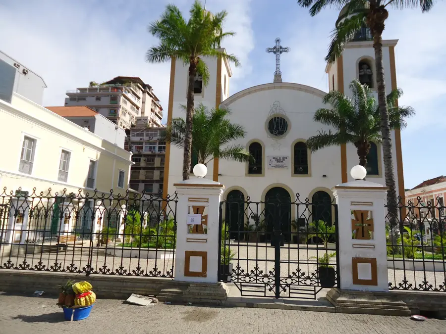
- Top sights: Administração Municipal de Moçâmedes · Farol da Fortaleza de São Fernando · Palácio de Moçâmedes
- Nearby: Tômbua (75 km)
- Population: ~255.000 (2026)
Best time to visit & climate
The most pleasant time to visit is May, Jun, Oct.
| Jan | Feb | Mar | Apr | May | Jun | Jul | Aug | Sep | Oct | Nov | Dec | |
|---|---|---|---|---|---|---|---|---|---|---|---|---|
| Avg °C | 23 | 24 | 25 | 24 | 22 | 20 | 19 | 18 | 19 | 20 | 22 | 22 |
| Rain mm | 36 | 32 | 65 | 9 | 1 | 0 | 3 | 8 | 8 | 5 | 12 | 15 |
Geography
Facts
- Moçâmedes was known as Namibe for 31 years before reverting to its original name in 2016.
- The city is located at coordinates 15°11′46″S 12°09′16″E on the Atlantic coast.
- It is the starting point for the development of the 'Namibe Corridor' economic zone.
- The Port of Namibe handles over 1 million tons of cargo annually.
- Most of the city's fresh produce comes from oases in the nearby Giraul river valley.
- The Moçâmedes Railway was rebuilt between 2006 and 2012 by Chinese companies.
- Tourism revolves around desert safaris and deep-sea sport fishing competitions.
- The city maintains a distinct Lusitanian urban charm with tiled sidewalks and plazas.
Explore nearby
Notable places around
Route planner — Car & Motorhome
Where do you start? We build the route here, with stops and country notes along the way.
© OpenStreetMap contributors · OpenRouteService
Sights in the town Moçâmedes (7)
Frequently asked questions
How many days do you need for Moçâmedes?
When is the best time to visit Moçâmedes?
What is the easiest way to get to Moçâmedes?
What food is typical in Moçâmedes?
Is Moçâmedes family-friendly?
Moçâmedes: where is it located?
Moçâmedes: what is there to see?
Moçâmedes: when is the best time to visit?
Moçâmedes: why is it worth visiting?

Nearby cities
History & landmarks
More places