Plizio Visual Lab
Namba
Weather…
Water temperature…
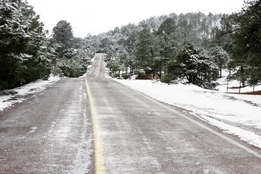
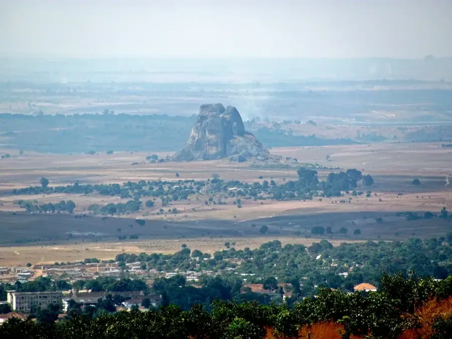
Monte Namba is a prominent peak within the Serra do Moco range, which contains the highest elevations in Angola, located in the Huambo province. This granitic massive rises sharply above the central plateau, shaped by millions of years of tectonic activity and surface erosion. The mountain is ecologically significant for hosting some of the country's last remaining patches of Afromontane forest, providing a refuge for a wide array of endemic flora and fauna. Climatically, Monte Namba experiences much cooler temperatures than the surrounding plains, often shrouded in orographic clouds that sustain its unique high-altitude ecosystem. Historically, the rugged terrain of the Namba and Moco massifs served as a natural fortress for local communities during colonial-era conflicts and holds spiritual importance for the regional population. Currently, Monte Namba is a focal point for conservation efforts aimed at protecting Angola’s fragile mountain biodiversity from the threats of deforestation and habitat loss.
- Location: Angola
- Nearby: Bailundo (34 km)
Best time to visit & climate
The most pleasant time to visit is May, Jul, Aug.
| Jan | Feb | Mar | Apr | May | Jun | Jul | Aug | Sep | Oct | Nov | Dec | |
|---|---|---|---|---|---|---|---|---|---|---|---|---|
| Avg °C | 20 | 20 | 20 | 20 | 19 | 17 | 18 | 20 | 23 | 23 | 21 | 20 |
| Rain mm | 161 | 164 | 305 | 65 | 9 | 1 | 0 | 3 | 33 | 107 | 232 | 183 |
📋 Practical info
Geography
Facts
- Monte Namba reaches an elevation of approximately 2,420 meters above sea level.
- The peak is situated on the Bié Plateau, the central highland region of Angola.
- The mountain's forests are home to the endangered Swierstra's Francolin.
- Geologically, the massif is primarily composed of ancient Precambrian granite.
- Temperatures at the summit can drop toward freezing during the winter months.
- The area was comprehensively mapped and studied by scientists only in the 20th century.
Explore nearby
Notable places around
Route planner — Car & Motorhome
Where do you start? We build the route here, with stops and country notes along the way.
© OpenStreetMap contributors · OpenRouteService
Sights nearby
Frequently asked questions
How difficult is Namba?
When is the best time for Namba?
Do you need special gear?
Are there villages nearby?
Is Namba good for panoramas?
Namba: where is it located?
Namba: when is the best time to visit?
Namba: why is it worth visiting?

Nearby cities

History & landmarks
More places