Plizio Visual Lab
Caála
ℹ️Practical info — Caála
▾
🌤 Weather — 5 days
📍 Nearby
Sights nearby
💡 Tips
- The town is located on the central plateau, meaning the climate is much cooler and more pleasant than on the Angolan coast.
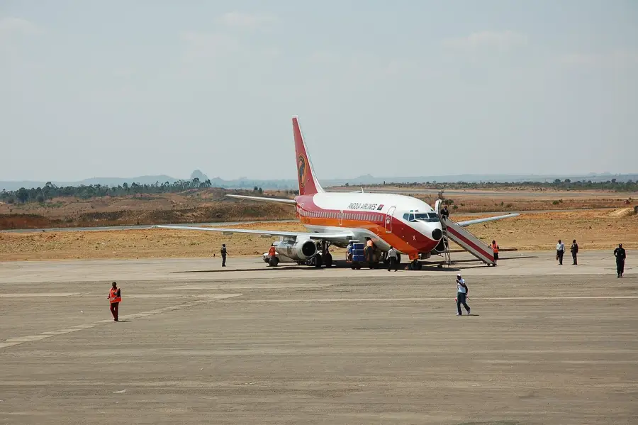
- The Benguela Railway passes through here; checking out the old station architecture is highly recommended.
- When venturing into the surrounding rural areas, it's best to travel with a 4x4 vehicle due to unpaved roads.
- Local markets operate primarily in cash (Kwanza), so ensure you have enough small bills before you arrive.
- Taking photos of government buildings or police officers is strictly prohibited in Angola; always ask before photographing people.
🍽 Food
A stiff porridge made from corn or cassava flour, the staple of Angolan cuisine. Served with meat or fish stews in local eateries.
A flavorful chicken stew made with palm oil, garlic, and squash. A traditional favorite you can find in town restaurants.
Fresh river fish grilled to perfection, usually accompanied by spicy piripiri sauce.
🛍 Shopping · 🧘 Quiet spots
A bustling hub where you can find colorful fabrics, fresh local produce, and sometimes traditional handicrafts.
The region is the breadbasket of the country; you can buy excellent fresh honey and fruit directly from farmers on the roadsides.
While it can be busy during train arrivals, the old colonial station has a quiet glimpse into the past during off-hours.
A short walk outside the urban center takes you to peaceful, rolling farmlands with scenic highland views.
Water temperature…
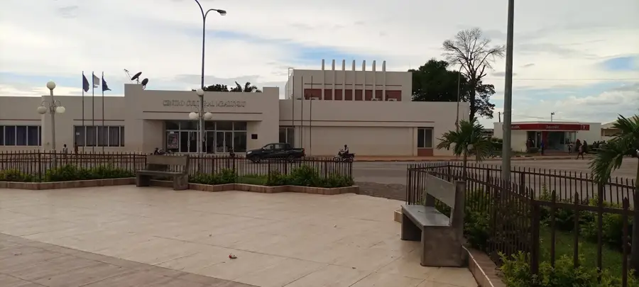
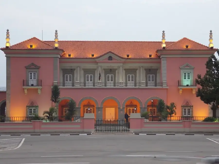
Caála is a prominent city in the Huambo Province, situated on the central plateau of Angola at an elevation of approximately 1740 meters. Originally founded by the Portuguese as Vila Robert Williams, named after the engineer of the Benguela Railway, the city remains a vital link on this strategic railway line. Geographically, it connects the eastern parts of the country with the Atlantic coast, establishing Caála as a key logistical hub. The cool highland climate favors intensive agriculture, which is why the city is often regarded as one of Angola's breadbaskets. The fertile soils support the large-scale cultivation of cereals, sunflowers, and various fruits. Architecture enthusiasts can still find well-preserved colonial-era buildings in the city center, reflecting the planned urban development of the period. In recent decades, Caála has experienced rapid population growth and has evolved into an industrial suburb of the nearby provincial capital, Huambo. The city also plays a significant role in the regional trade of livestock and agricultural goods.
- Location: Angola
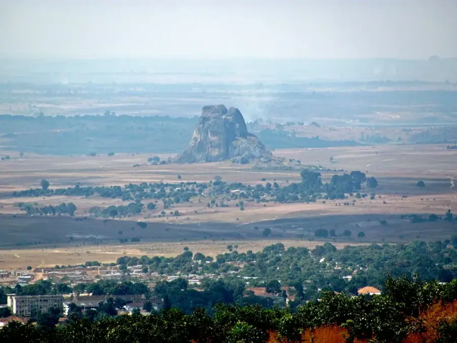
- Top sights: Monte Cassendji · Monte Calenguele
- Nearby: Bailundo (85 km)
- Population: ~130.000 (2026)
Best time to visit & climate
The most pleasant time to visit is May, Aug, Sep.
| Jan | Feb | Mar | Apr | May | Jun | Jul | Aug | Sep | Oct | Nov | Dec | |
|---|---|---|---|---|---|---|---|---|---|---|---|---|
| Avg °C | 19 | 20 | 20 | 19 | 18 | 16 | 16 | 19 | 22 | 22 | 20 | 20 |
| Rain mm | 182 | 174 | 287 | 77 | 7 | 0 | 0 | 4 | 21 | 86 | 245 | 192 |
Geography
Facts
- Caála is situated at an elevation of about 1740 meters.
- The city was formerly known as Vila Robert Williams.
- It is a strategic hub along the Benguela Railway line.
- The region is famous for its extensive sunflower plantations.
- Caála is located only 23 km west of the city of Huambo.
- The city serves as an important center for livestock production.
Explore nearby
Notable places around
Route planner — Car & Motorhome
Where do you start? We build the route here, with stops and country notes along the way.
© OpenStreetMap contributors · OpenRouteService
Sights in the town Caála (2)
Frequently asked questions
What kind of place is Caála?
What can you do near Caála?
Is Caála easily accessible for tourists?
What is the climate like in Caála?
Is there accommodation there?
Caála: where is it located?
Caála: what is there to see?
Caála: when is the best time to visit?
Caála: why is it worth visiting?

Nearby cities

History & landmarks
More places