Plizio Visual Lab
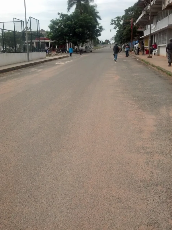
Waku-Kungo
ℹ️Practical info — Waku-Kungo
▾
🌤 Weather — 5 days
📍 Nearby
Sights nearby
💡 Tips
- The climate here in the mountains is cooler than on the coast. Bring a sweater for the evenings.
- The region is agricultural; country roads can be difficult to navigate during the rainy season.
- Mornings often feature beautiful fog rolling over the fields-good for photography enthusiasts.
- Plan refueling stops in advance, as gas stations are scarce outside the city limits.
🍽 Food
The region is known for cattle ranching; try excellent steaks in the local churrasqueiras.
Local dairy farms offer fresh cheese and yogurt produced nearby.
Thanks to the fertile soil, the side dishes made from fresh local vegetables are fantastic.
🛍 Shopping · 🧘 Quiet spots
Visit the market to buy fresh agricultural products straight from the producers.
Local honey is a popular and delicious souvenir from this region.
Take a walk just outside the town to enjoy the rolling green scenery.
The town center square has benches under shady trees great for a short break.
Water temperature…
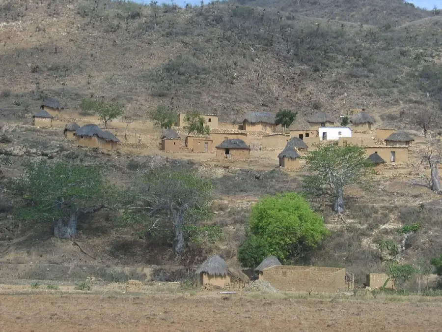
Waku-Kungo, formerly known by the Portuguese name Santa Comba, is situated in the heart of Cuanza Sul province on an extensive high plateau. The town underwent massive expansion in the 1970s as part of the Cela Settlement Project, intended to establish Portuguese immigrants and promote large-scale agriculture. Due to its fertile soils and temperate climate, Waku-Kungo is considered one of Angola's breadbaskets, focusing on dairy farming, grain production, and livestock breeding. During the Angolan Civil War, the town was a strategic battleground, resulting in significant infrastructure damage. Since the 2002 peace agreement, Waku-Kungo has experienced a remarkable renaissance, supported by international investments in modern agricultural enterprises and dairies. The town today serves as a prime example of the country's agricultural reconstruction, supplying urban centers like Luanda with fresh produce and dairy products.
- Location: Angola
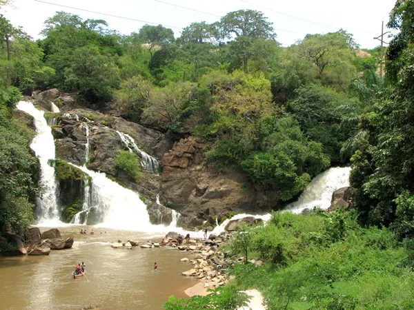
- Top sights: Uaco Cungo · Cela, Angola
- Nearby: Quibala (68 km)
- Population: ~10.970 (2026)
Best time to visit & climate
The most pleasant time to visit is May, Jul, Aug.
| Jan | Feb | Mar | Apr | May | Jun | Jul | Aug | Sep | Oct | Nov | Dec | |
|---|---|---|---|---|---|---|---|---|---|---|---|---|
| Avg °C | 20 | 20 | 21 | 21 | 20 | 19 | 19 | 21 | 23 | 22 | 21 | 20 |
| Rain mm | 114 | 118 | 196 | 66 | 13 | 1 | 0 | 4 | 44 | 117 | 219 | 144 |
Geography
Facts
- The town was named Santa Comba until independence in 1975.
- Waku-Kungo is situated approximately 1,300 meters above sea level.
- The Cela Project was initiated by the Portuguese government in 1952.
- The region hosts one of Angola's largest dairy processing plants.
- The distance to the provincial capital, Sumbe, is about 200 kilometers.
- The town holds a strategic position on the EN-120 highway.
Explore nearby
Notable places around
Route planner — Car & Motorhome
Where do you start? We build the route here, with stops and country notes along the way.
© OpenStreetMap contributors · OpenRouteService
Sights in the town Waku-Kungo (2)
Frequently asked questions
What kind of place is Waku-Kungo?
What should one do in the region?
How is the connection to Waku-Kungo?
What is the climate like?
Are there culinary specialties?
Waku-Kungo: where is it located?
Waku-Kungo: what is there to see?
Waku-Kungo: when is the best time to visit?
Waku-Kungo: why is it worth visiting?

Nearby cities
Nature
More places