Plizio Visual Lab
Kaparanga
Weather…
Water temperature…
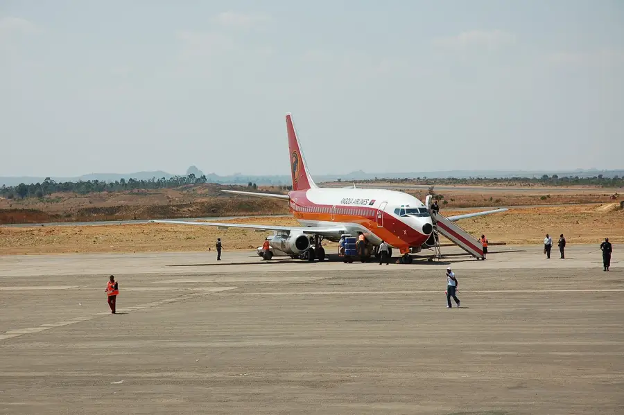
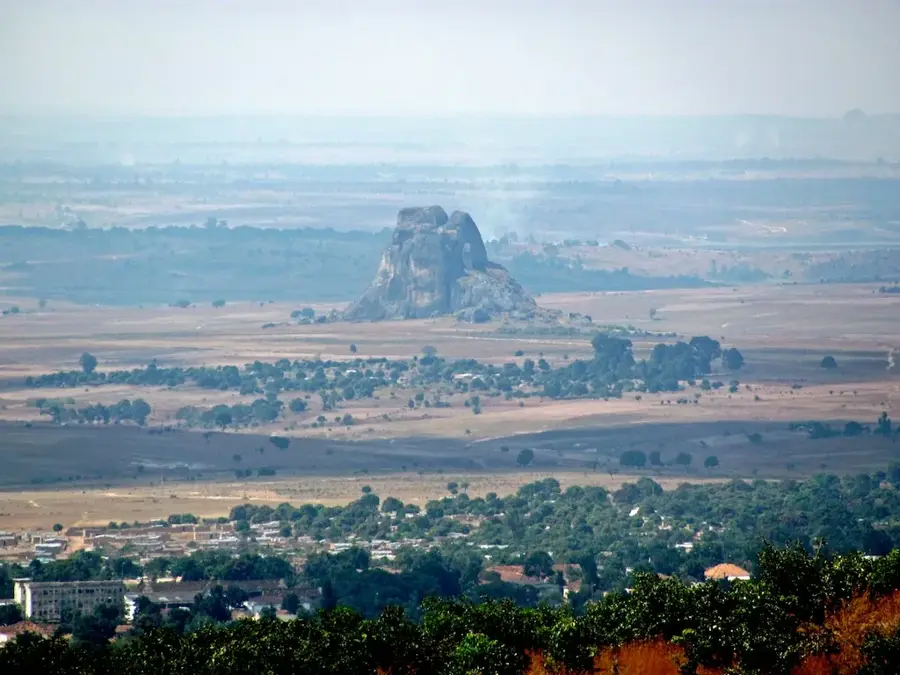
Monte Kaparanga is a distinctive mountain peak located in the central highlands of Angola, specifically within the Bié Province, near the border with Huambo Province. With an elevation exceeding 2000 meters, it is among the most significant heights of the Planalto Central, a region that forms the backbone of Angolan geography. The mountain is primarily composed of granitic rock, part of the ancient African shield, and achieved its current form through tectonic uplift followed by erosion. Due to its altitude, Monte Kaparanga experiences a temperate mountain climate with cool nights and mild days, starkly different from the hot coastal plains. The slopes are partially covered with Miombo woodlands and montane grasslands, hosting specialized flora and fauna. During the Angolan struggle for independence and the subsequent civil war, the difficult-to-access areas around the mountain often served as retreats. Today, Monte Kaparanga is a symbol of the natural beauty of the central highlands and a destination for researchers interested in Angola's geology and ecology.
- Location: Angola
- Nearby: Bailundo (6 km)
Best time to visit & climate
The most pleasant time to visit is May, Aug, Sep.
| Jan | Feb | Mar | Apr | May | Jun | Jul | Aug | Sep | Oct | Nov | Dec | |
|---|---|---|---|---|---|---|---|---|---|---|---|---|
| Avg °C | 20 | 20 | 20 | 20 | 19 | 17 | 17 | 20 | 23 | 22 | 20 | 20 |
| Rain mm | 165 | 173 | 301 | 61 | 9 | 1 | 0 | 2 | 29 | 95 | 208 | 178 |
📋 Practical info
Geography
Facts
- The official peak height of Monte Kaparanga is 2011 meters.
- The mountain lies in the transition zone between the Bié Plateau and the Huambo Basin.
- The rock dates from the Proterozoic, approximately 1.8 to 2.5 billion years ago.
- It is one of the highest points in the Bié Province.
- The average temperature at the summit often drops below 10 degrees Celsius in winter.
- Nearby springs feed into streams that eventually join the Cuanza River.
Explore nearby
Notable places around
Route planner — Car & Motorhome
Where do you start? We build the route here, with stops and country notes along the way.
© OpenStreetMap contributors · OpenRouteService
Sights nearby
Frequently asked questions
How strenuous is Kaparanga?
When is the best time for Kaparanga?
Do you need a guide for Kaparanga?
Are there water sources on the mountain?
Is Kaparanga good for views and photos?
Kaparanga: where is it located?
Kaparanga: when is the best time to visit?
Kaparanga: why is it worth visiting?

Nearby cities

History & landmarks
More places