Plizio Visual Lab
Quibala
ℹ️Practical info — Quibala
▾
🌤 Weather — 5 days
📍 Nearby
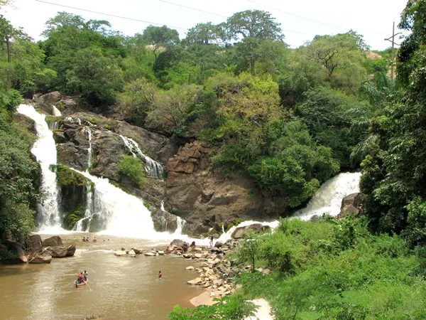
Sights nearby
💡 Tips
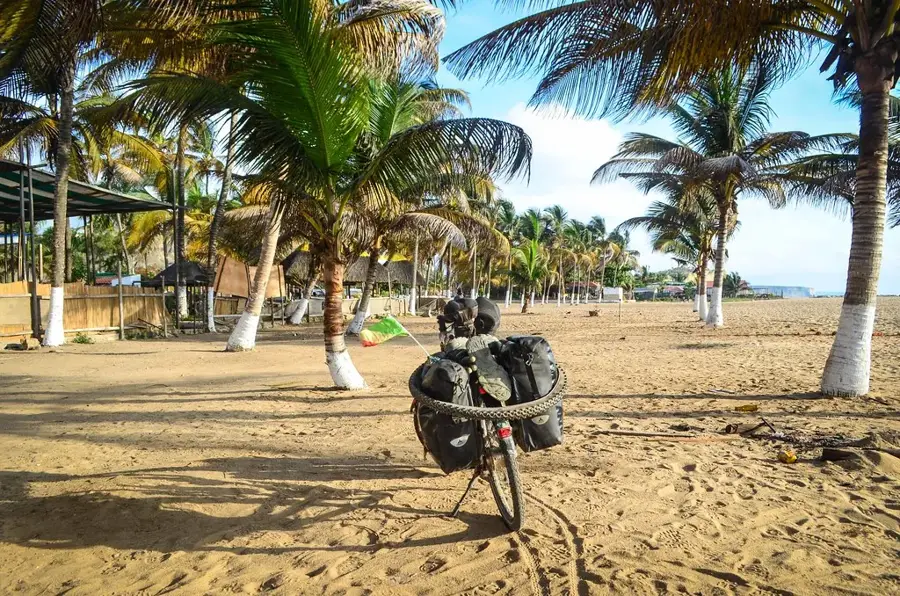
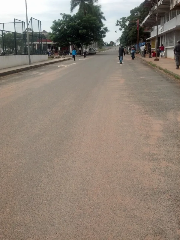
- Quibala sits at an important crossroads; many travelers use the town for a rest stop.
- Due to the elevation, nights are cooler. Pack a light jacket.
- Roads into more rural areas around Quibala can be in poor condition; a 4x4 vehicle is recommended.
- Respect local customs and always ask permission before photographing people.
🍽 Food
Restaurants along the main roads serve excellent Frango Assado (grilled chicken).
Roasted cassava pieces, a popular and crunchy snack for the road.
Try Angolan coffee in the small cafes catering to passing travelers.
🛍 Shopping · 🧘 Quiet spots
Due to transit traffic, you'll find many street vendors offering snacks and refreshments.
Locals often sell freshly picked oranges and bananas right on the side of the road.
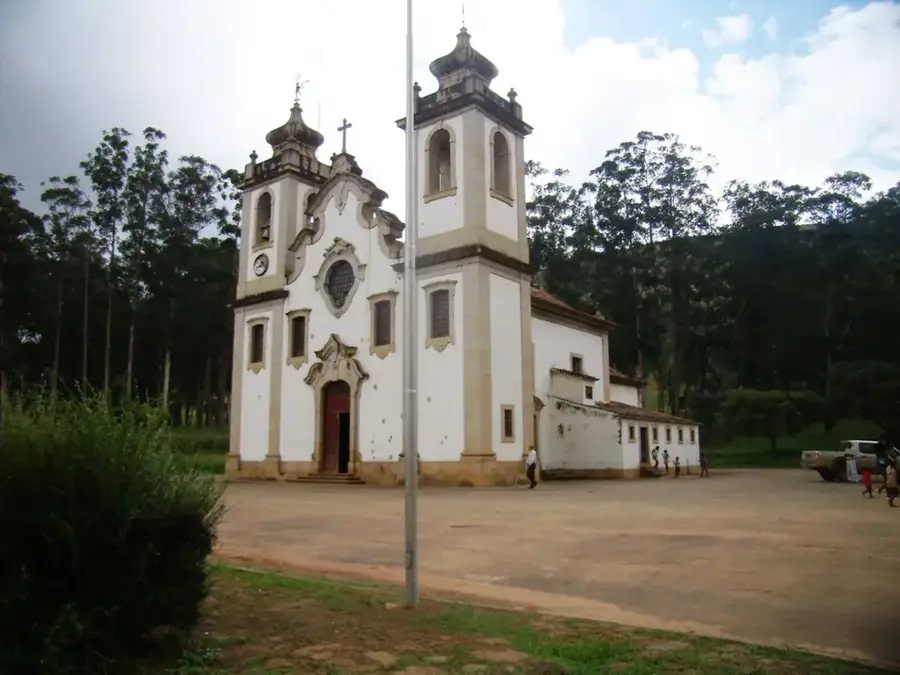
The area around this old church is a quiet place for a break away from the busy main road.
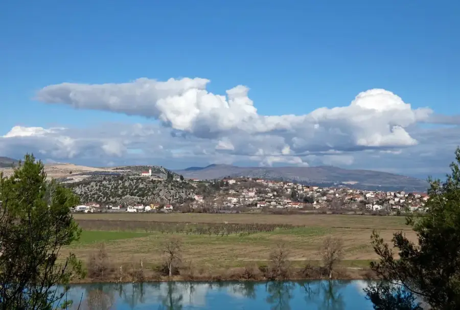
A short walk out of the center provides peaceful views of the Angolan savanna.
Water temperature…
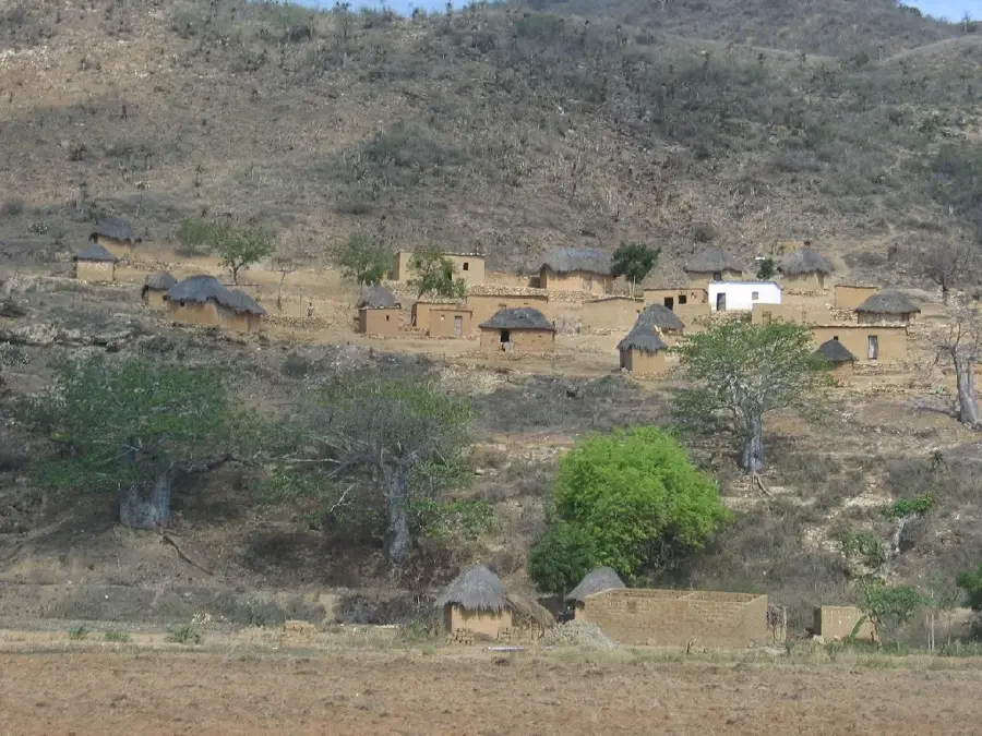
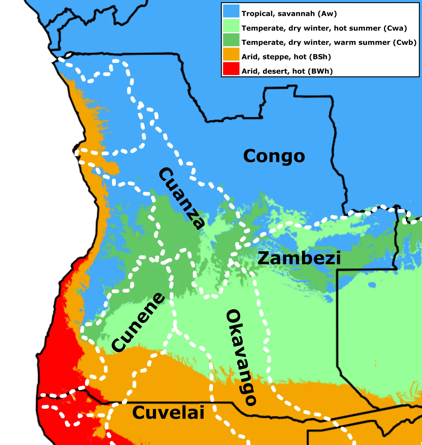
Quibala is a strategically important town in northern Cuanza Sul province, serving as a major transportation hub between the coast and the inland regions. The town is situated in a hilly landscape characterized by distinctive rock formations and granite domes known as inselbergs. Historically, Quibala was a key military outpost and the site of significant engagements during the War of Independence and the subsequent Civil War. The region surrounding Quibala is known for its wealth of mineral resources, particularly granite, yet agriculture remains the primary livelihood for the local population. Maize, beans, and various vegetables are the main products grown for the regional market. In recent years, road connections to Luanda and Huambo have been substantially improved, strengthening the town's commercial and logistical significance. Despite war-related damage, Quibala is evolving into a dynamic center for rural services and trade.
- Location: Angola
- Nearby: Waku-Kungo (68 km)
- Population: ~27.128 (2026)
Best time to visit & climate
The most pleasant time to visit is Jun–Aug.
| Jan | Feb | Mar | Apr | May | Jun | Jul | Aug | Sep | Oct | Nov | Dec | |
|---|---|---|---|---|---|---|---|---|---|---|---|---|
| Avg °C | 21 | 22 | 22 | 22 | 22 | 21 | 21 | 22 | 23 | 23 | 22 | 21 |
| Rain mm | 87 | 93 | 140 | 80 | 21 | 2 | 0 | 9 | 56 | 125 | 194 | 119 |
Geography
Facts
- Quibala is located at the junction of the EN-120 and EN-230 highways.
- The region is famous for its massive granite outcrops (inselbergs).
- In 1975, the town was a strategic point during Operation Savannah.
- The elevation above sea level is approximately 1,200 meters.
- Quibala is the administrative seat of one of the province's largest municipalities.
- The town features historical fortress remains from the colonial period.
Explore nearby
Notable places around
Route planner — Car & Motorhome
Where do you start? We build the route here, with stops and country notes along the way.
© OpenStreetMap contributors · OpenRouteService
Sights in the town Quibala (1)
Frequently asked questions
What is typical for Quibala?
How to get to Quibala?
What should be kept in mind when traveling?
Are there attractions nearby?
What is the weather like in Quibala?
Quibala: where is it located?
Quibala: when is the best time to visit?
Quibala: why is it worth visiting?

Nearby cities

Nature
More places