Plizio Visual Lab
Eenhana
ℹ️Practical info — Eenhana
▾
🌤 Weather — 5 days
📍 Nearby
Sights nearby
💡 Tips
- Avoid driving on rural roads at night due to the high risk of wandering livestock.
- The nearby Angolan border makes this a busy trade hub; carry cash for small transactions.
- Summer months are intensely hot; plan visits to historical sites for the early morning.
- English is the official language, but learning a few words of Oshiwambo will be greatly appreciated.
🍽 Food
The local staple served at traditional eateries.
Freshly grilled beef strips at the open-air market.
A traditional non-alcoholic drink found at local gatherings.
🛍 Shopping · 🧘 Quiet spots
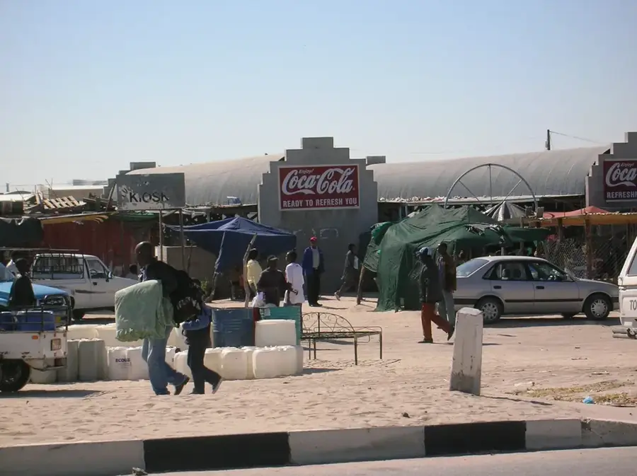
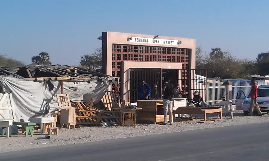
For fresh local produce and everyday goods.
Beautiful local crafts available from market artisans.
A historical and peaceful monument honoring local history.
Quiet nature walks just outside the town limits.
Water temperature…
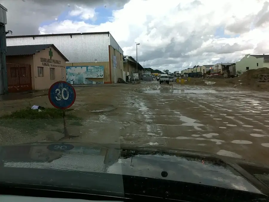
Eenhana is the capital of the Ohangwena Region in northern Namibia, located directly on the border with Angola. The town has a significant historical background, having served as a major military base during Namibia's struggle for independence. Today, Eenhana is a symbol of the rapid post-independence development and modernization in the northern territories since 1990. The surrounding landscape is dominated by tropical mopane woodlands and productive subsistence farming, particularly the cultivation of pearl millet (mahangu). A focal point of the town is the Eenhana Shrine, a memorial dedicated to the fallen heroes of the liberation war. The settlement serves as an essential administrative and commercial hub for the densely populated Ohangwena district. As road links to Angola have improved, Eenhana's role as a cross-border economic gateway has steadily increased. The climate is subtropical, characterized by distinct summer rainy seasons.
- Location: Namibia
- Nearby: Helao Nafidi (51 km)
- Population: ~6.551 (2026)
Best time to visit & climate
The most pleasant time to visit is May, Jun, Aug.
| Jan | Feb | Mar | Apr | May | Jun | Jul | Aug | Sep | Oct | Nov | Dec | |
|---|---|---|---|---|---|---|---|---|---|---|---|---|
| Avg °C | 27 | 26 | 25 | 24 | 21 | 18 | 18 | 21 | 25 | 28 | 28 | 28 |
| Rain mm | 111 | 115 | 106 | 26 | 3 | 0 | 0 | 0 | 2 | 13 | 53 | 66 |
Geography
Facts
- Eenhana was officially proclaimed as a town only in 1999.
- The Eenhana Shrine was inaugurated in 2008 by President Hifikepunye Pohamba.
- The town is situated in one of the most densely forested areas of northern Namibia.
- Eenhana serves as a major logistics hub for trade with neighboring Angola.
- The Ohangwena Region is among the most populous regions in the country.
- The name 'Eenhana' means 'calves' in the local Oshikwanyama language.
Explore nearby
Notable places around
Route planner — Car & Motorhome
Where do you start? We build the route here, with stops and country notes along the way.
© OpenStreetMap contributors · OpenRouteService
Sights in the town Eenhana (1)
Frequently asked questions
What characterizes Eenhana?
When should I visit Eenhana?
What is there to see in the region?
How can I get to Eenhana?
Is a rental car useful?
Eenhana: where is it located?
Eenhana: when is the best time to visit?
Eenhana: why is it worth visiting?

Nearby cities