Plizio Visual Lab
Ganda
ℹ️Practical info — Ganda
▾
🌤 Weather — 5 days
📍 Nearby
Sights nearby
💡 Tips
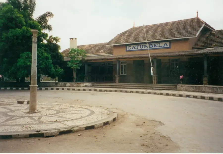
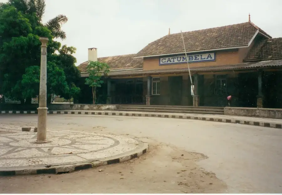
- The train station is a historical hub; check the schedule for the Benguela Railway, but expect delays and basic conditions.
- Portuguese is essential here; very little English is spoken, so a translation app or phrasebook is necessary.
- Cash is king; ATMs can be unreliable, so carry enough Angolan Kwanza from a larger city like Benguela.
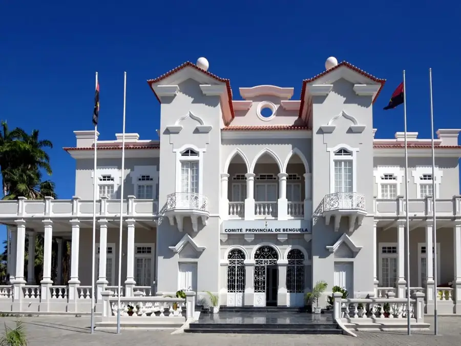
- Ask for permission before photographing colonial-era buildings, as some might have administrative or military uses.
- The dry season (May to October) is the most comfortable time to visit and ensures better road conditions to surrounding areas.
🍽 Food
The national staple made from cassava flour, often served alongside a rich meat or fish stew at local eateries.
Freshwater fish is popular; look for roadside grills or small restaurants serving it with beans and plantains.
Angola produces excellent coffee; look for small pastelarias (bakeries) serving strong espresso.
🛍 Shopping · 🧘 Quiet spots
A spirited outdoor market where you can find fresh local produce and experience the daily rhythm of the town.
The region historically produced sisal; you might find sturdy bags or ropes in the local hardware and market stalls.
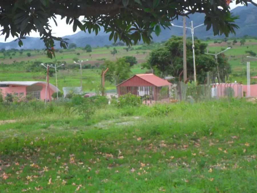
Walk or take a short drive to the outskirts to see the remnants of old colonial agricultural estates set against the hills.
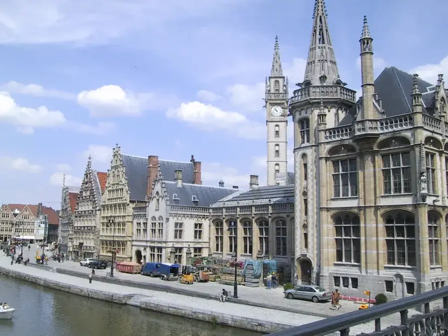
During non-departure times, the historical colonial architecture of the station makes for a quiet, nostalgic spot.
Water temperature…
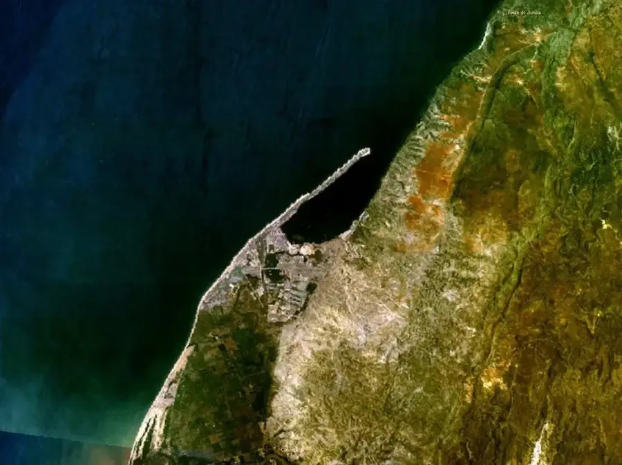
Ganda is a strategically important town in the Benguela Province of western Angola, located roughly midway between the port city of Lobito and the city of Huambo. The town owes much of its development to the Benguela Railway, which maintains a major station here and facilitates the transport of goods from the interior to the Atlantic coast. Geographically, Ganda sits at an elevation of about 1,300 meters on the edge of the central plateau, benefiting from a fertile climate. The surrounding area is renowned for its high agricultural output, with large-scale cultivation of maize, beans, and various fruits. During the colonial period, Ganda served as a significant administrative and commercial hub under the name Vila Mariano Machado. Today, the town stands as a symbol of post-civil war reconstruction, with the restoration of the railway line significantly revitalizing the region's economic activity.
- Location: Angola
- Nearby: Cubal (44 km)
- Population: ~65.000 (2026)
Best time to visit & climate
The most pleasant time to visit is May–Jul.
| Jan | Feb | Mar | Apr | May | Jun | Jul | Aug | Sep | Oct | Nov | Dec | |
|---|---|---|---|---|---|---|---|---|---|---|---|---|
| Avg °C | 23 | 23 | 23 | 23 | 23 | 21 | 21 | 23 | 24 | 25 | 24 | 23 |
| Rain mm | 184 | 161 | 233 | 80 | 4 | 1 | 0 | 4 | 19 | 73 | 253 | 151 |
Geography
Facts
- Ganda was formerly known by the name Vila Mariano Machado.
- The town is situated on the main line of the Benguela Railway.
- The elevation above sea level is approximately 1,320 meters.
- Ganda is a prominent producer of maize and various fruits.
- The Ganda municipality covers an area of about 4,810 square kilometers.
- The town is located roughly 200 kilometers from the provincial capital, Benguela.
Explore nearby
Notable places around
Route planner — Car & Motorhome
Where do you start? We build the route here, with stops and country notes along the way.
© OpenStreetMap contributors · OpenRouteService
Sights in the town Ganda (1)
Frequently asked questions
How many days do you need for Ganda?
When is the best time to visit Ganda?
How do you travel to Ganda?
What should you eat in Ganda?
Is Ganda suitable for families?
Ganda: where is it located?
Ganda: when is the best time to visit?
Ganda: why is it worth visiting?

Nearby cities


History & landmarks

Nature
More places