Plizio Visual Lab
Kwanza Valley
Weather…
Water temperature…
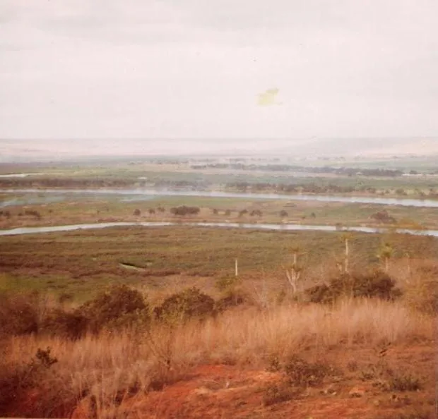
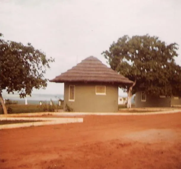
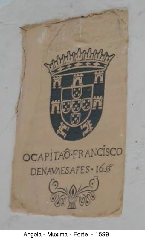
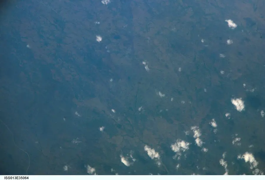
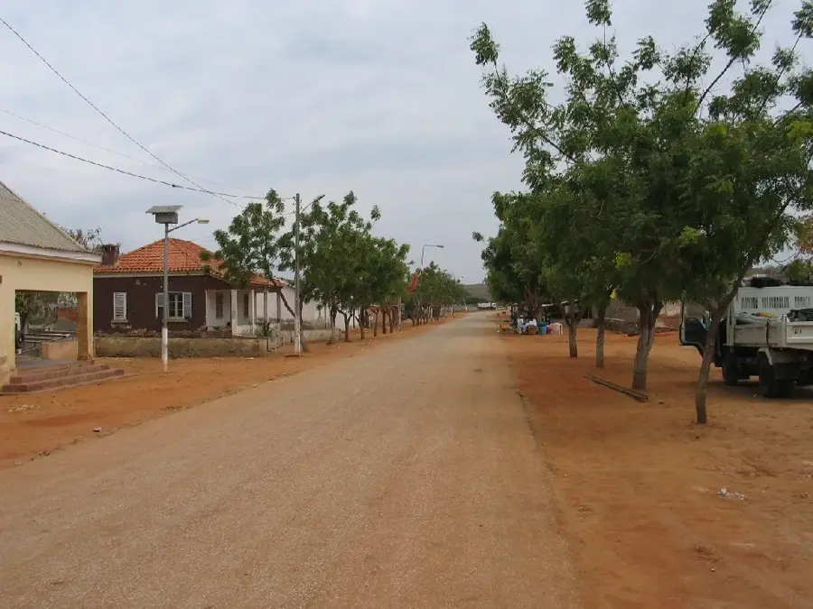
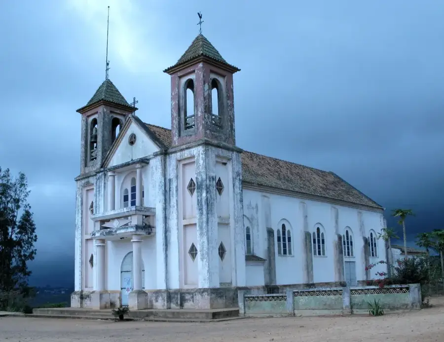
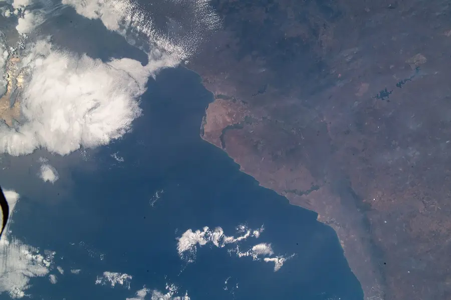
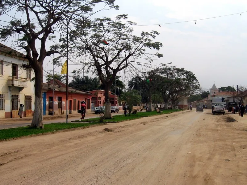
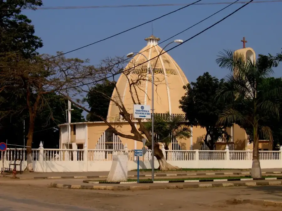
The Kwanza Valley is the central geographical and historical artery of Angola, carved by the longest river flowing entirely within the nation's borders. Stretching from the central highlands to the Atlantic coast, the valley traverses a diverse landscape characterized by deep gorges, expansive floodplains, and dramatic waterfalls. Geologically, the Kwanza River has played a primary role in eroding the plateau's bedrock, depositing rich alluvial sediments that support intensive agriculture. Historically, the valley was the primary route for Portuguese penetration into the African interior and was the heartland of the Ndongo Kingdom during its resistance against colonial rule. In the modern era, the Kwanza Valley is strategically vital for Angola’s infrastructure, hosting massive hydroelectric projects like the Capanda and Laúca dams, which generate the majority of the nation's electricity. The valley's rich cultural heritage, combined with its vital economic role, makes it a symbol of national resilience and development, even lending its name to Angola's currency.
- Location: Angola
- Nearby: Cabo Ledo (17 km)
Best time to visit & climate
The most pleasant time to visit is Jul–Sep.
| Jan | Feb | Mar | Apr | May | Jun | Jul | Aug | Sep | Oct | Nov | Dec | |
|---|---|---|---|---|---|---|---|---|---|---|---|---|
| Avg °C | 27 | 28 | 28 | 27 | 26 | 24 | 22 | 22 | 23 | 25 | 26 | 27 |
| Rain mm | 22 | 35 | 63 | 73 | 20 | 1 | 0 | 3 | 5 | 12 | 30 | 23 |
📋 Practical info
Geography
Facts
- The Kwanza River flows for a total length of approximately 960 kilometers.
- The Laúca hydroelectric dam in the valley produces 2,070 MW of power.
- The famous Kalandula Falls are located on the Lucala River, a major tributary of the Kwanza.
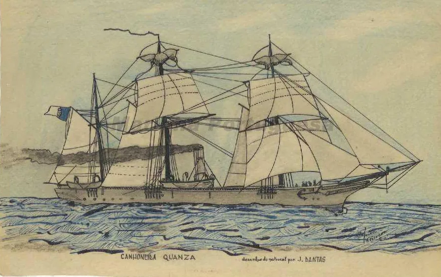
- The Portuguese established the city of Luanda near the river's mouth in 1575.
- The Kwanza Valley drains a total basin area of about 150,000 square kilometers.
- Angola's national currency, the Kwanza, was officially named after the river in 1977.
Explore nearby
Notable places around
Route planner — Car & Motorhome
Where do you start? We build the route here, with stops and country notes along the way.
© OpenStreetMap contributors · OpenRouteService
Sights nearby
Frequently asked questions
What can you do in the Kwanza Valley?
When is the best time to visit the valley?
Is the Kwanza Valley good for a road trip?
Are there restaurants or gas stations there?
Is the valley photogenic?
Kwanza Valley: where is it located?
Kwanza Valley: when is the best time to visit?
Kwanza Valley: why is it worth visiting?

Nearby cities
History & landmarks
Nature
More places