Plizio Visual Lab
Kwanza
Weather…
Water temperature…
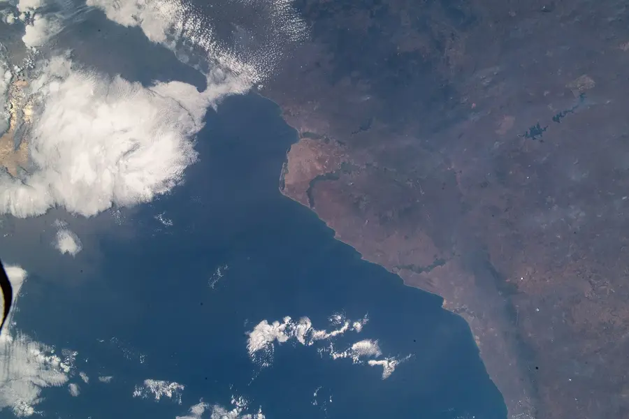
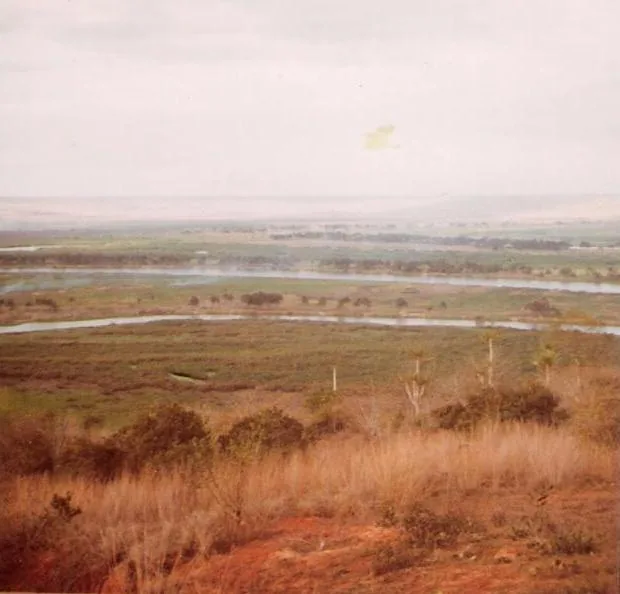
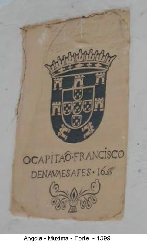
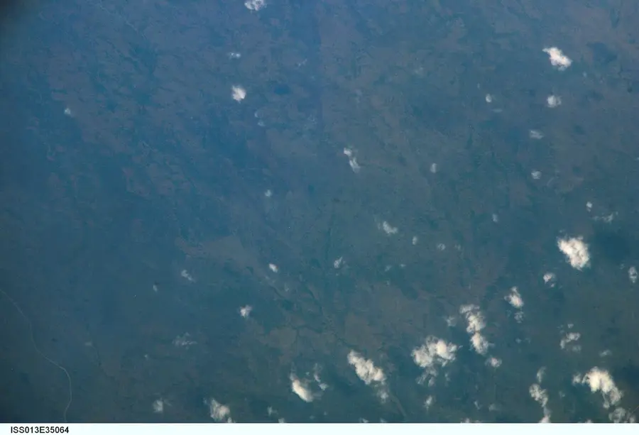
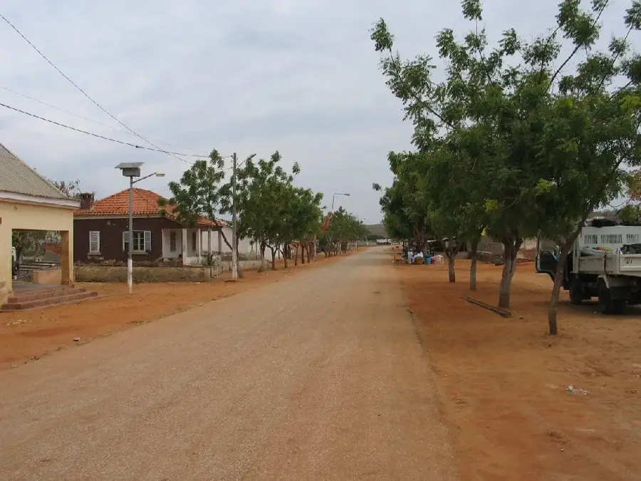
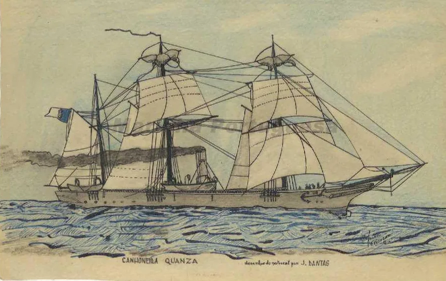
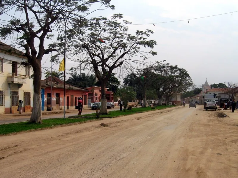
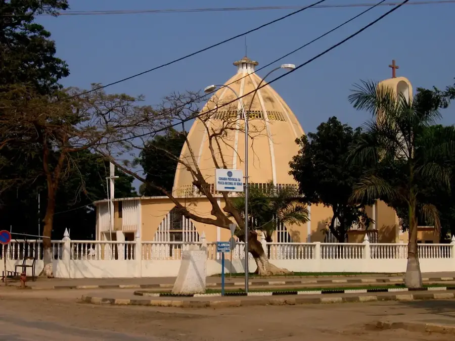
The Kwanza is the longest river flowing entirely within the borders of Angola, serving as a vital artery for the nation's economy and history. Originating in the Bié Plateau at an altitude of approximately 1,500 meters, it flows for 960 kilometers in a northwestern direction before emptying into the Atlantic Ocean south of Luanda. Its basin covers an area of over 150,000 square kilometers and touches ten different provinces. Historically, the Kwanza was a crucial route for Portuguese exploration and trade with the interior regions. In modern times, its significance is primarily linked to energy production, as it powers massive hydroelectric plants such as Capanda and Lauca. The river is navigable for its final 250 kilometers, making it important for local transport and fishing. The diverse flora and fauna along its banks, from dense gallery forests to coastal mangroves, make it a focal point for environmental conservation in Southwestern Africa.
- Location: Angola
- Nearby: Cabo Ledo (33 km)
Best time to visit & climate
The most pleasant time to visit is Jul–Sep.
| Jan | Feb | Mar | Apr | May | Jun | Jul | Aug | Sep | Oct | Nov | Dec | |
|---|---|---|---|---|---|---|---|---|---|---|---|---|
| Avg °C | 27 | 28 | 28 | 27 | 26 | 24 | 22 | 22 | 23 | 25 | 26 | 27 |
| Rain mm | 22 | 35 | 63 | 73 | 20 | 1 | 0 | 3 | 5 | 12 | 30 | 23 |
📋 Practical info
Geography
Facts
- Length: 960 kilometers
- Basin area: 151,422 sq km
- Source: Bié Plateau
- Hydroelectric: Capanda, Lauca
- Navigability: approx. 250 km
- Mouth: Atlantic Ocean
Explore nearby
Notable places around
Route planner — Car & Motorhome
Where do you start? We build the route here, with stops and country notes along the way.
© OpenStreetMap contributors · OpenRouteService
Sights in the town Kwanza (1)
Sights nearby
Frequently asked questions
Can you boat on the Kwanza River?
What is the best time to visit the Kwanza?
Is the Kwanza family-friendly?
What is the river known for?
Is there anything to see along the banks?
Kwanza: where is it located?
Kwanza: when is the best time to visit?
Kwanza: why is it worth visiting?

Nearby cities
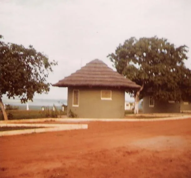
History & landmarks
Nature
More places