Plizio Visual Lab
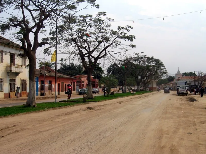
Dande
Weather…
Water temperature…
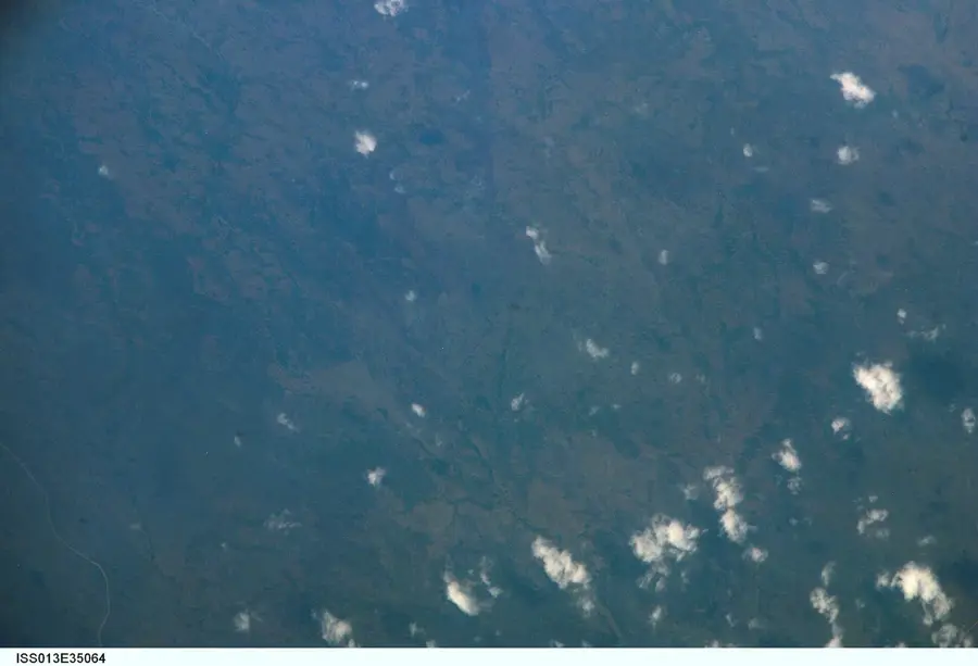
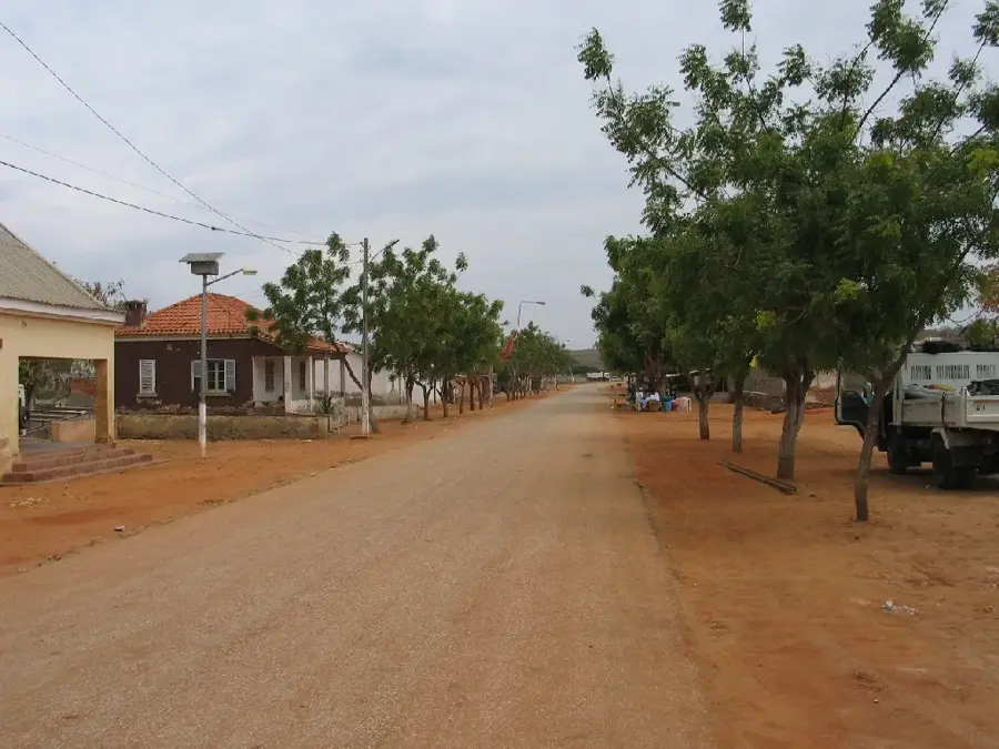
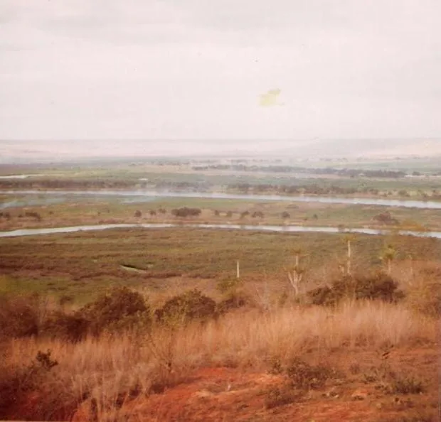
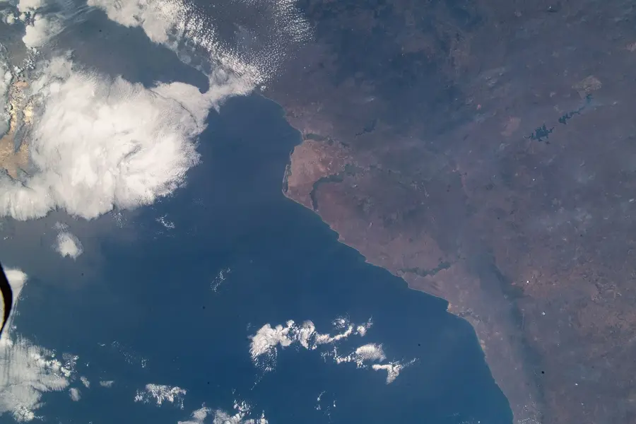
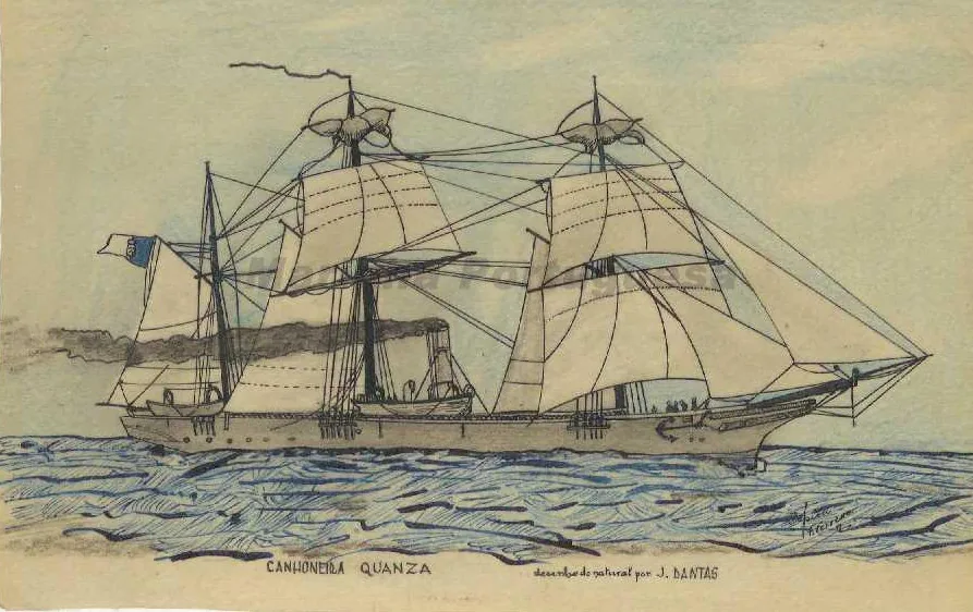
The Dande River is a vital waterway in the Bengo Province of northwestern Angola. Originating in the mountains of Uíge Province, it flows approximately 285 kilometers westward to the Atlantic Ocean. Geographically, the river traverses fertile plains renowned for large-scale sugarcane and banana cultivation. A central engineering feature on the river is the Mabubas Dam, which houses a major hydroelectric power station supplying electricity to the region and the nearby capital, Luanda. The river passes through the provincial capital of Caxito, where it serves as the primary source of urban water. Historically, the Dande River was a strategic axis for transport and communication between the coast and the interior. The river's mouth at Barra do Dande is a significant location for artisanal fishing. Despite its industrial importance, the river basin remains ecologically valuable, featuring extensive mangrove forests at its estuary that support a diverse range of aquatic life.
- Location: Angola
- Top sights: Catumbo · Lifune Beach · Morrinho
- Nearby: Panguila (27 km)
Best time to visit & climate
The most pleasant time to visit is Jun–Aug.
| Jan | Feb | Mar | Apr | May | Jun | Jul | Aug | Sep | Oct | Nov | Dec | |
|---|---|---|---|---|---|---|---|---|---|---|---|---|
| Avg °C | 28 | 28 | 28 | 27 | 27 | 25 | 24 | 24 | 26 | 27 | 27 | 27 |
| Rain mm | 37 | 50 | 90 | 108 | 43 | 2 | 0 | 4 | 13 | 38 | 68 | 50 |
📋 Practical info
Geography
Facts
- The total length of the river is approximately 285 kilometers.
- The Mabubas Dam on the Dande was inaugurated as early as 1954.
- The river is the primary water source for the city of Caxito.
- The estuary is located at Barra do Dande, north of Luanda.
- Large sugarcane plantations rely on the river for irrigation.
- The mangroves at the mouth are home to numerous rare bird species.
Explore nearby
Notable places around
Route planner — Car & Motorhome
Where do you start? We build the route here, with stops and country notes along the way.
© OpenStreetMap contributors · OpenRouteService
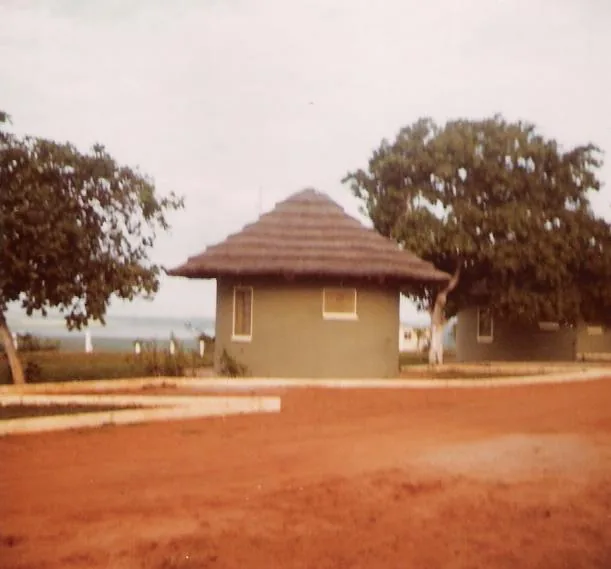
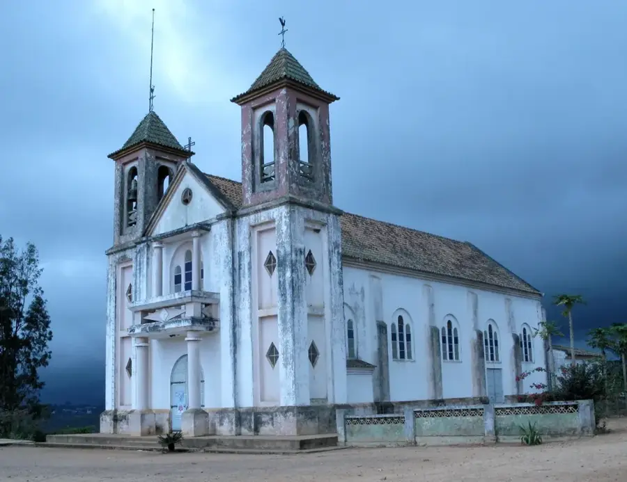
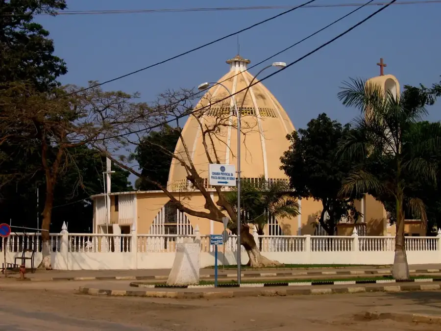
Sights in the town Dande (4)
Sights nearby
Frequently asked questions
What is special about the Dande River?
When is it worth visiting the Dande River?
Can you walk or picnic by the river?
Are there boats or ferry crossings?
Is the Dande River photogenic?
Dande: where is it located?
Dande: what is there to see?
Dande: when is the best time to visit?
Dande: why is it worth visiting?

Nearby cities
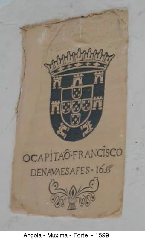
History & landmarks
Nature
More places