Plizio Visual Lab
Sétif Highlands
Weather…
Water temperature…
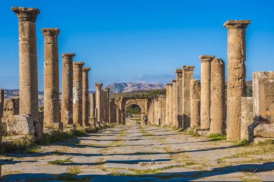
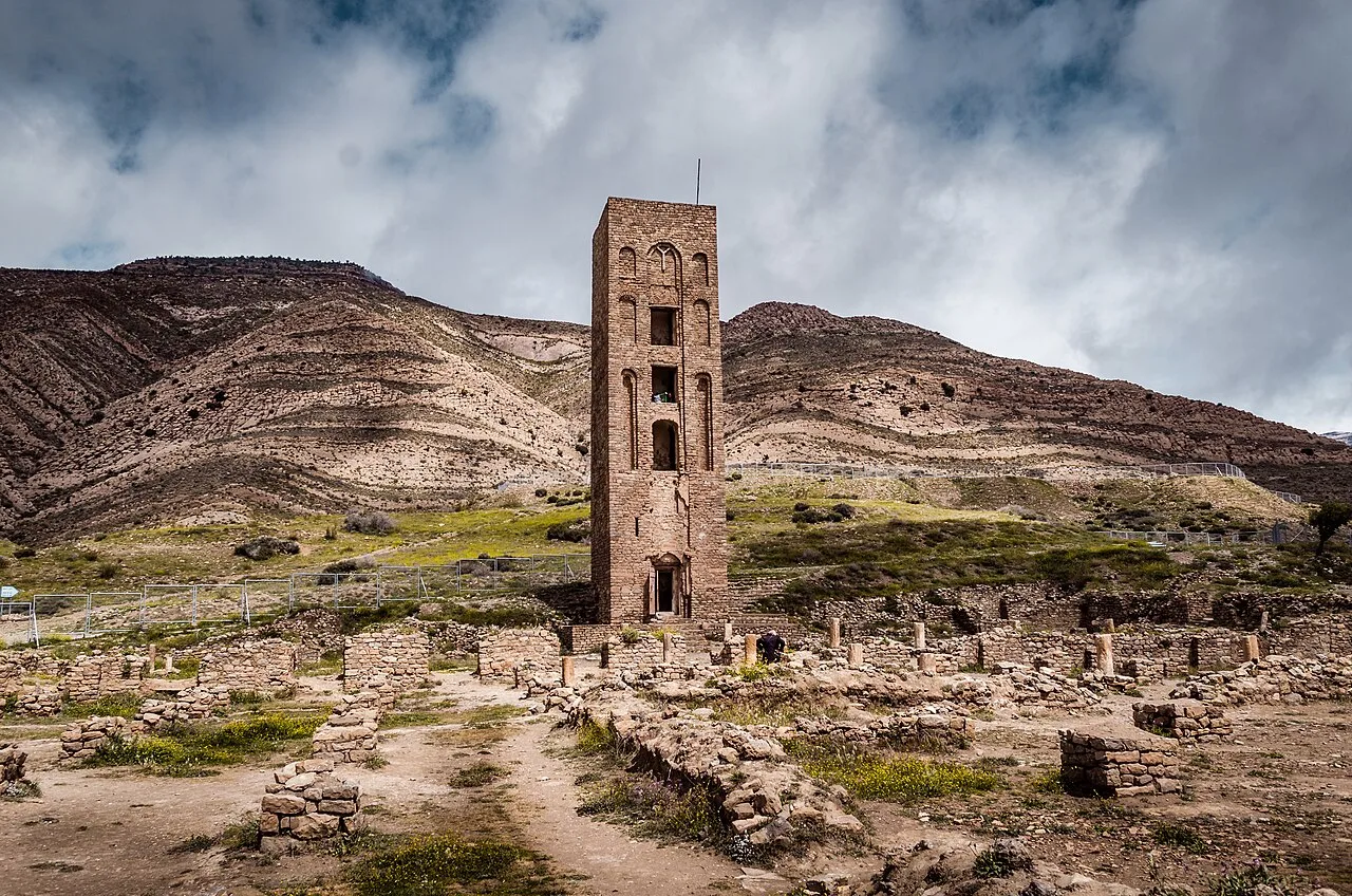
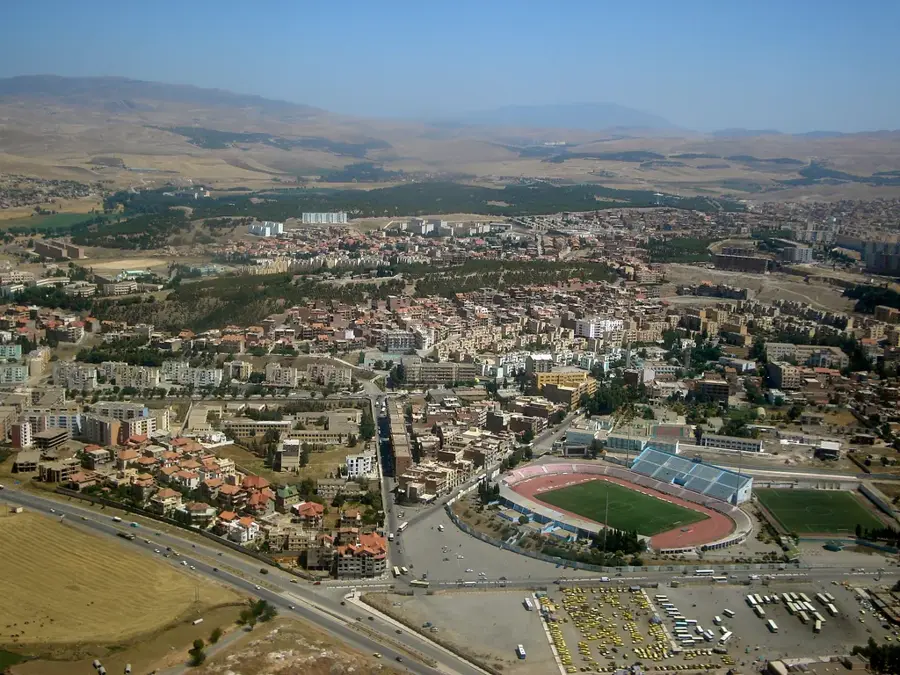
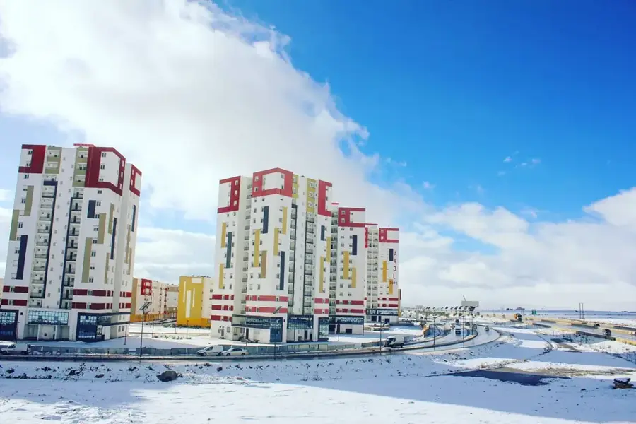
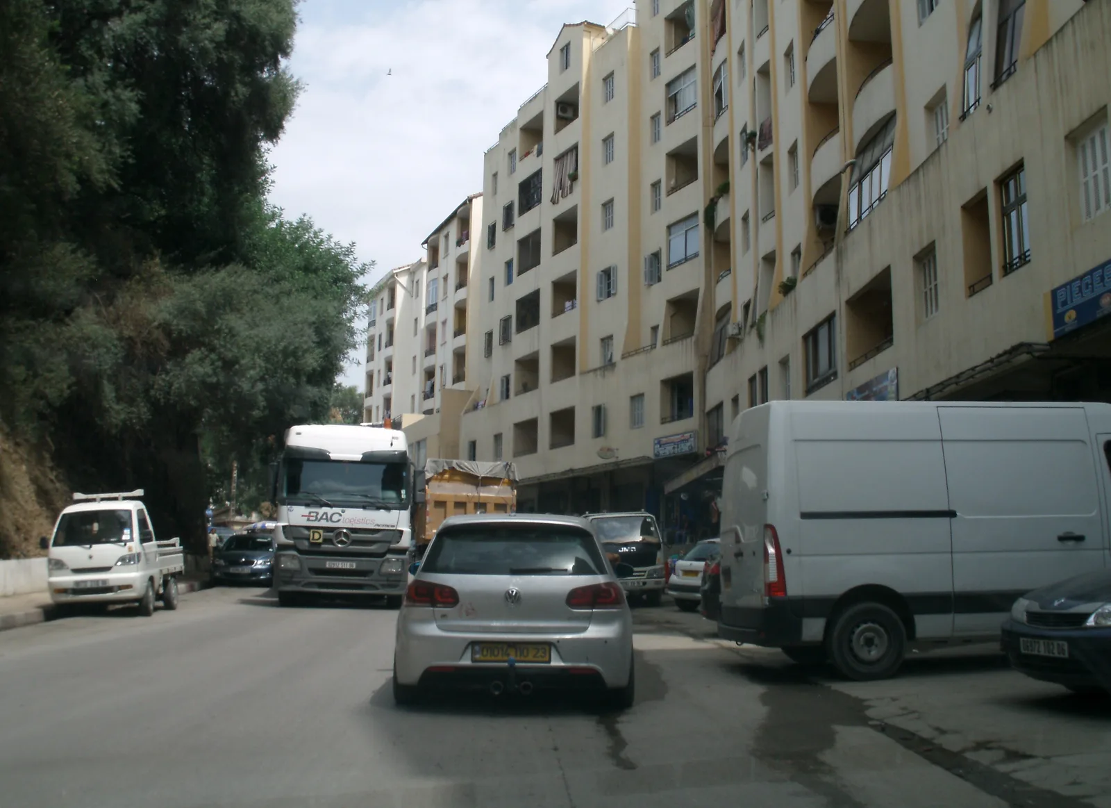
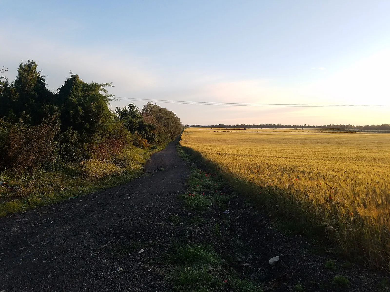
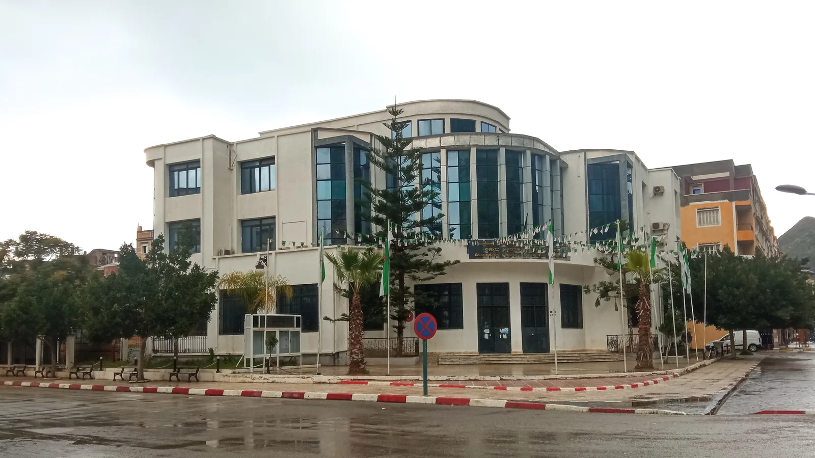
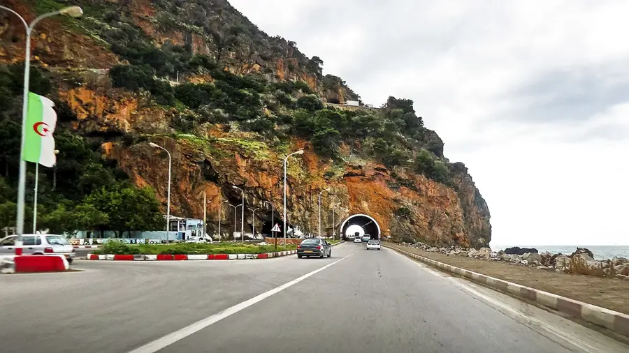
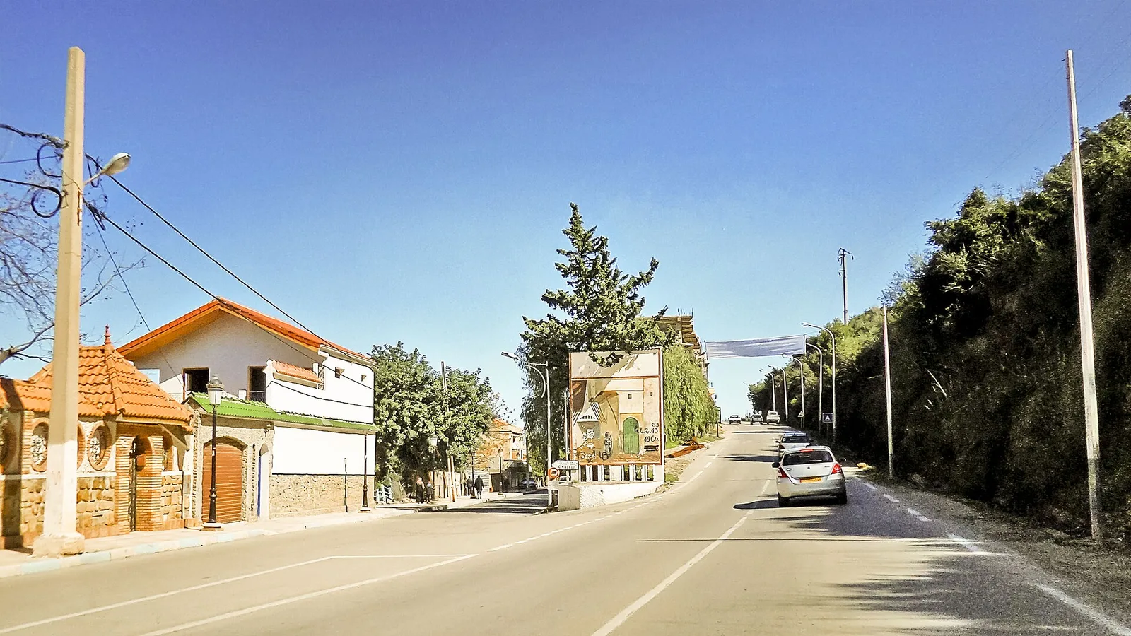
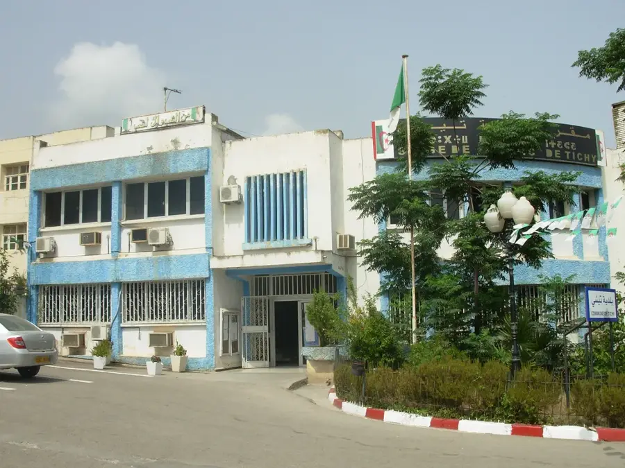
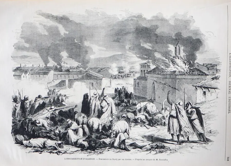
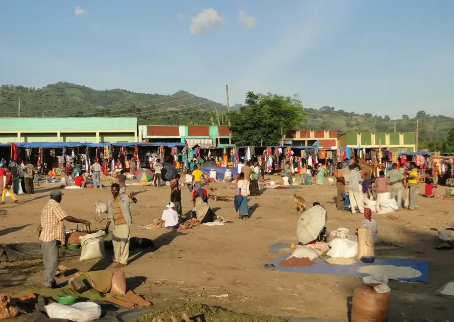
The Sétif Highlands, located in the northeastern part of Algeria, is one of the country's most vital cereal-growing regions and is often called the 'Granary of Algeria'. At an average altitude of about 1,000 meters above sea level, the plateau provides vast, fertile areas well-suited for cultivating wheat and barley. The climate here is more continental than on the coast, with cold, snowy winters and hot, dry summers. Historically, the region holds deep significance; it houses the UNESCO World Heritage site of Cuicul (Djemila), one of the best-preserved Roman ruined cities in North Africa. Sétif itself is a major commercial center and was the scene of significant historical events during the Algerian struggle for independence, particularly in 1945. Modern agriculture in the highlands increasingly relies on mechanization and improved irrigation techniques to boost productivity. Besides cereals, livestock farming is gaining importance, contributing to the region's economic diversity. Its strategic location between the coast and the inland makes Sétif a logistical hub for distributing agricultural products.
- Location: Algeria
- Top sights: el yasmine · billiard · Centre Culturel Islamique
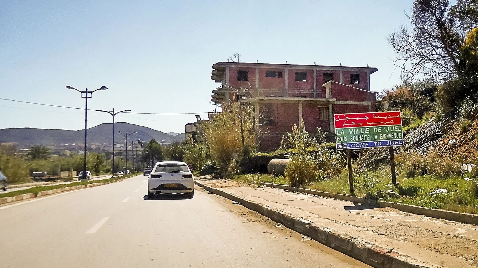
- Nearby: El Eulma (26 km)
Best time to visit & climate
The most pleasant time to visit is Jun, Jul, Sep.
| Jan | Feb | Mar | Apr | May | Jun | Jul | Aug | Sep | Oct | Nov | Dec | |
|---|---|---|---|---|---|---|---|---|---|---|---|---|
| Avg °C | 5 | 5 | 9 | 13 | 17 | 22 | 25 | 25 | 20 | 16 | 9 | 6 |
| Rain mm | 74 | 53 | 59 | 64 | 56 | 21 | 9 | 23 | 57 | 47 | 60 | 69 |
📋 Practical info
Geography
Facts
- Sétif is situated at an average elevation of 1,096 meters.
- The region is home to the UNESCO World Heritage site of Djemila (Cuicul).
- The plateau is Algeria's primary area for durum wheat production.
- In 1945, Sétif was the center of significant pro-independence protests.
- The city is known for being one of the coldest in Algeria during winter.
- Sétif serves as a major logistical link between Algiers and Constantine.
Explore nearby
Notable places around
Route planner — Car & Motorhome
Where do you start? We build the route here, with stops and country notes along the way.
© OpenStreetMap contributors · OpenRouteService
Sights in the town Sétif Highlands (6)
Sights nearby
Frequently asked questions
What is the most important agricultural product in Sétif?
What is the landscape like in the Sétif Highlands?
Is there livestock farming in the region?
When should one visit the region?
Are there ancient sites nearby?
Sétif Highlands: where is it located?
Sétif Highlands: what is there to see?
Sétif Highlands: when is the best time to visit?
Sétif Highlands: why is it worth visiting?

Nearby cities
History & landmarks
Nature
More places