Plizio Visual Lab
Mali i Gjerë
Weather…
Water temperature…
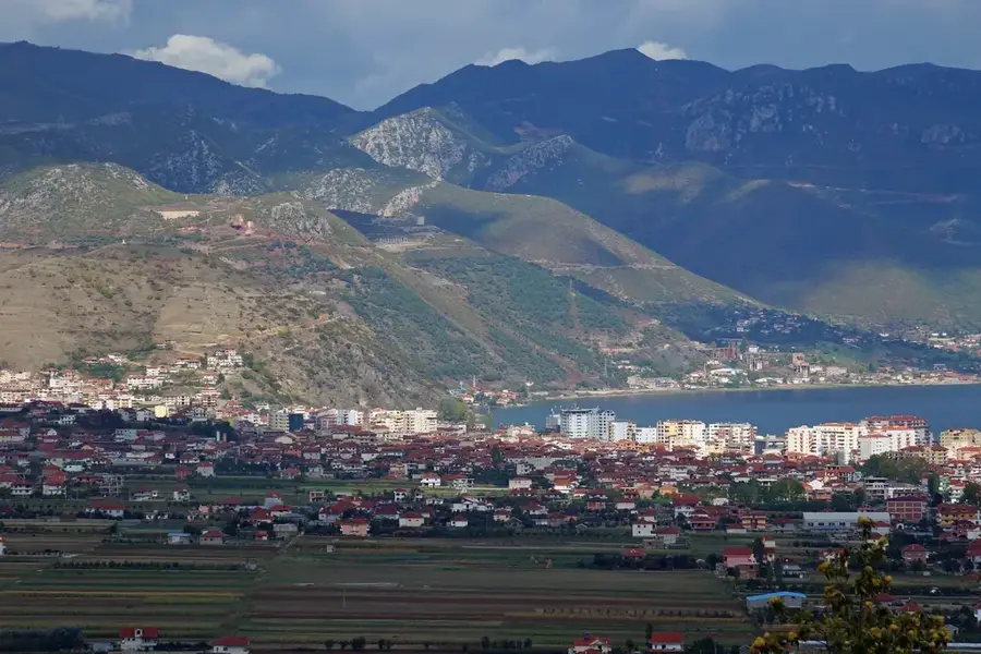
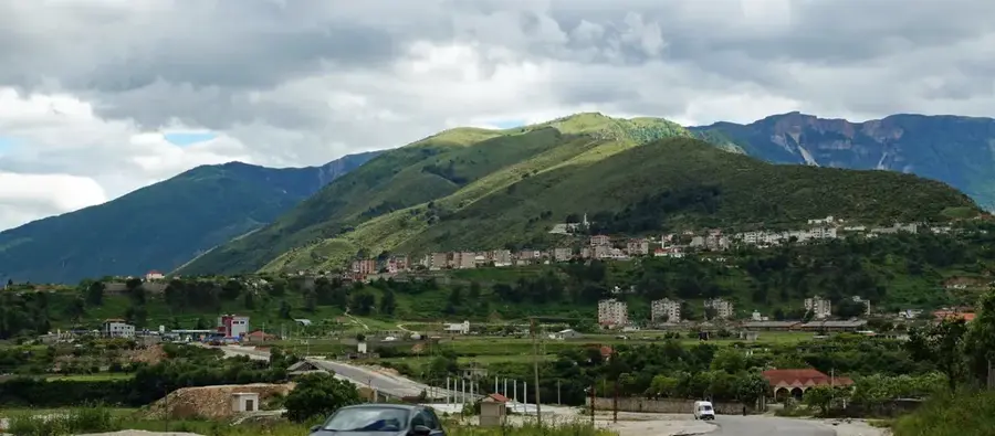
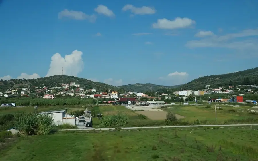
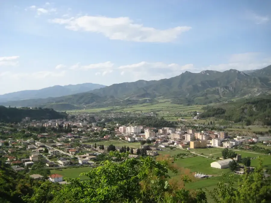
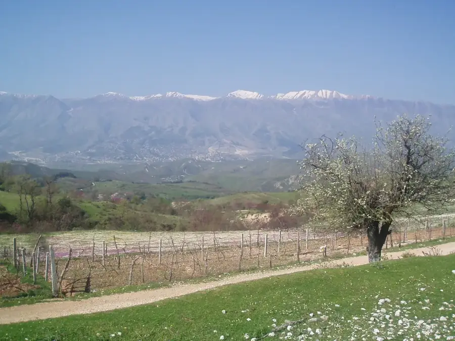
Mali i Gjerë, which translates to "Wide Mountain," is a prominent limestone massif in southern Albania, overlooking the historic city of Gjirokastër. Its highest peak, Maja e Pusit, reaches an elevation of 1,789 meters. Geographically, the mountain is renowned for its extreme karst phenomena, including numerous caves and underground water systems. The most famous feature of the mountain is the Blue Eye spring (Syri i Kaltër) on its western slope, one of Albania's most prolific water sources. Historically, the mountain range served as a natural fortress for the city of Gjirokastër and provided refuge for resistance fighters during various periods. The vegetation is sparse, consisting mainly of alpine meadows and Mediterranean herbs, as water rapidly drains through the porous limestone. The mountain has spectacular views of the Drino Valley to the east and the Ionian Sea to the west. Today, Mali i Gjerë is being used for the development of wind energy farms and as a hiking destination. Its cultural significance is reflected in the traditional polyphonic songs of the region, which often praise the ruggedness and beauty of these mountains.
- Location: Albania
- Top sights: Vigla Formation · Lefterhor
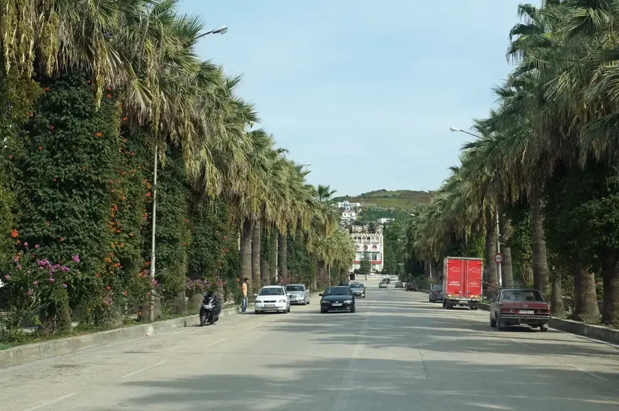
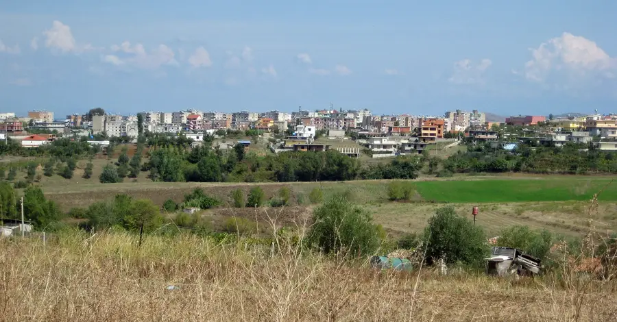
- Nearby: Delvinë (5 km)
Best time to visit & climate
The most pleasant time to visit is Jun, Jul, Sep.
| Jan | Feb | Mar | Apr | May | Jun | Jul | Aug | Sep | Oct | Nov | Dec | |
|---|---|---|---|---|---|---|---|---|---|---|---|---|
| Avg °C | 7 | 7 | 10 | 13 | 18 | 23 | 26 | 26 | 21 | 17 | 12 | 8 |
| Rain mm | 119 | 104 | 91 | 58 | 50 | 28 | 16 | 24 | 84 | 110 | 140 | 150 |
📋 Practical info
Geography
Facts
- The highest summit, Maja e Pusit, reaches 1,789 meters (5,869 feet).
- It is the source of the famous Blue Eye (Syri i Kaltër) karst spring.
- The mountain range is primarily composed of karstified limestone.
- It acts as a natural barrier between the Drino Valley and the coast.
- One of Albania's largest wind power projects is located on its ridge.
- The slopes are a primary source for Sideritis, known as Mountain Tea.
Explore nearby
Notable places around
Route planner — Car & Motorhome
Where do you start? We build the route here, with stops and country notes along the way.
© OpenStreetMap contributors · OpenRouteService
Sights in the town Mali i Gjerë (2)
Sights nearby
Frequently asked questions
What does the name 'Mali i Gjerë' mean?
Which city is at the foot of the mountain?
Is the 'Blue Eye' located nearby?
What is special about its water system?
Are there roads over the mountain?
Mali i Gjerë: where is it located?
Mali i Gjerë: what is there to see?
Mali i Gjerë: when is the best time to visit?
Mali i Gjerë: why is it worth visiting?

Nearby cities