Plizio Visual Lab
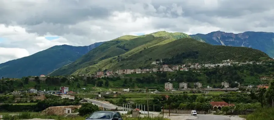
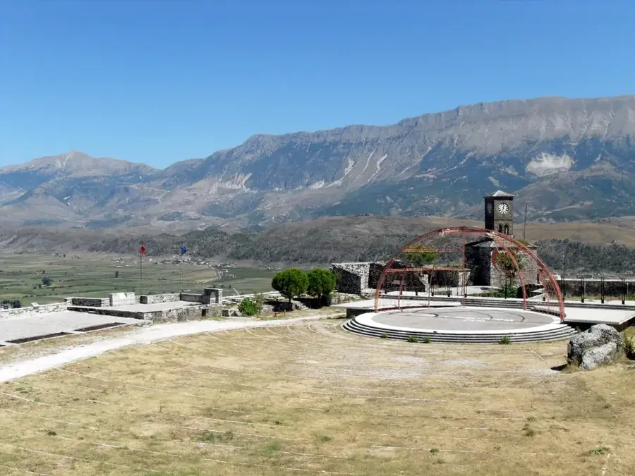
Lunxhëria Mountain
Weather…
Water temperature…
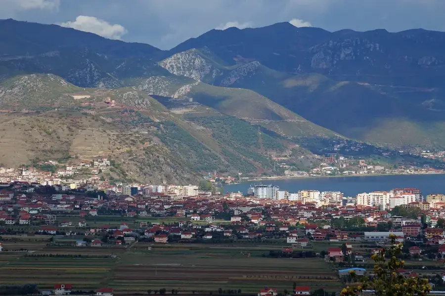
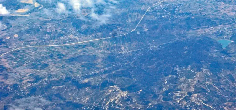
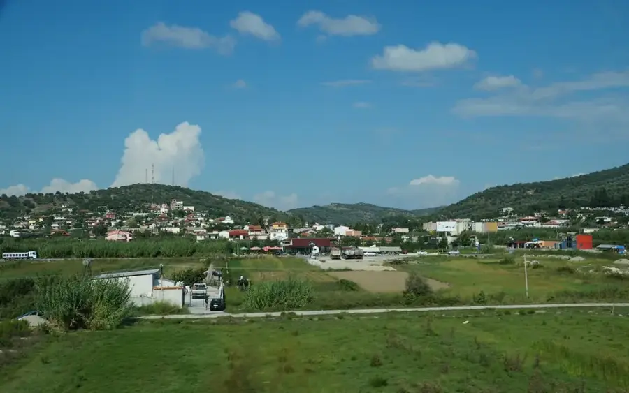
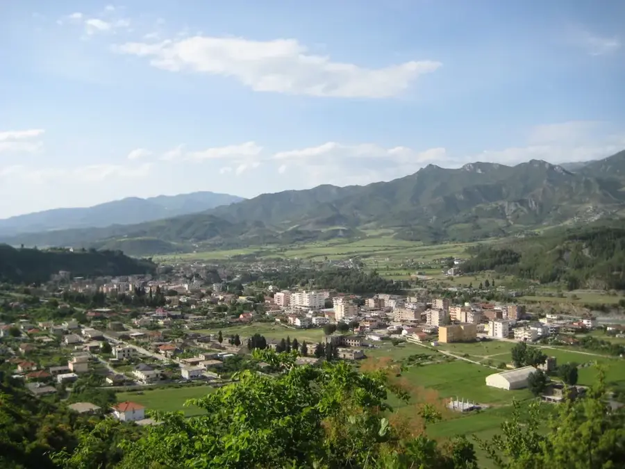
The Lunxhëria Mountain range is an impressive massif in southern Albania, running parallel to Mali i Gjerë and bordering the Drino Valley to the east. Its highest peak, Maja e Lalucit, reaches an elevation of 2,155 meters. Geographically, the mountain is characterized by its long, gently sloping western face and steep cliffs to the east. The Lunxhëria region is historically famous for its rich cultural traditions, distinctive architecture, and significant role in trade during the Ottoman period. At the foot of the mountain lie the ruins of the ancient city of Antigonea, founded by King Pyrrhus. The vegetation consists of Mediterranean maquis at lower altitudes and extensive alpine meadows in the higher regions, which have been used for sheep herding for centuries. The mountain is renowned for its numerous crystal-clear springs that supply water to the valley villages. Today, the Lunxhëria range is a quiet find for hikers looking to combine cultural sites with nature experiences. Local gastronomy and organic farming in the mountain villages are increasingly gaining tourism importance.
- Location: Albania
- Top sights: Gërmadha · Maja Gurit të Gjatë · Saint Michael's Church
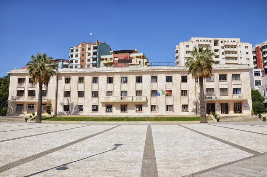
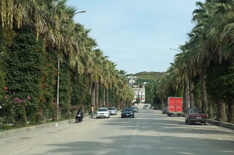
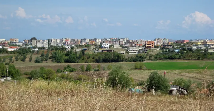
- Nearby: Gjirokastra (6 km)
Best time to visit & climate
The most pleasant time to visit is Jun, Jul, Sep.
| Jan | Feb | Mar | Apr | May | Jun | Jul | Aug | Sep | Oct | Nov | Dec | |
|---|---|---|---|---|---|---|---|---|---|---|---|---|
| Avg °C | 7 | 7 | 10 | 13 | 18 | 23 | 26 | 26 | 21 | 17 | 12 | 8 |
| Rain mm | 119 | 104 | 91 | 58 | 50 | 28 | 16 | 24 | 84 | 110 | 140 | 150 |
📋 Practical info
Geography
Facts
- The highest peak, Maja e Lalucit, stands at 2,155 meters (7,070 feet).
- It hosts the Antigonea Archaeological Park on its western slopes.
- The mountain range extends for approximately 25 kilometers.
- Lunxhëria is famous for its distinctive local polyphonic folk songs.
- The terrain is a mix of limestone and flysch geological layers.
- It is a major center for traditional organic honey and dairy production.
Explore nearby
Notable places around
Route planner — Car & Motorhome
Where do you start? We build the route here, with stops and country notes along the way.
© OpenStreetMap contributors · OpenRouteService
Sights in the town Lunxhëria Mountain (7)
Nymphaeum
Ancient spring sanctuary dedicated to nymphs, near Antigonea.
North Gate
Northern gate of the ancient city Antigonea, with gate remains.
Antigonea Archaeological Park
Excavations of an ancient Epirote town, enclosed by walls.
stoa
Ruins of a colonnaded hall within the Antigonea park.
Sights nearby
Frequently asked questions
Where is the Lunxhëria range located?
Which ancient site can be visited here?
Are the villages in the region worth visiting?
How high is the highest peak?
Is the region known for its traditions?
Lunxhëria Mountain: where is it located?
Lunxhëria Mountain: what is there to see?
Lunxhëria Mountain: when is the best time to visit?
Lunxhëria Mountain: why is it worth visiting?

Nearby cities