Plizio Visual Lab
Salang Pass
Weather…
Water temperature…
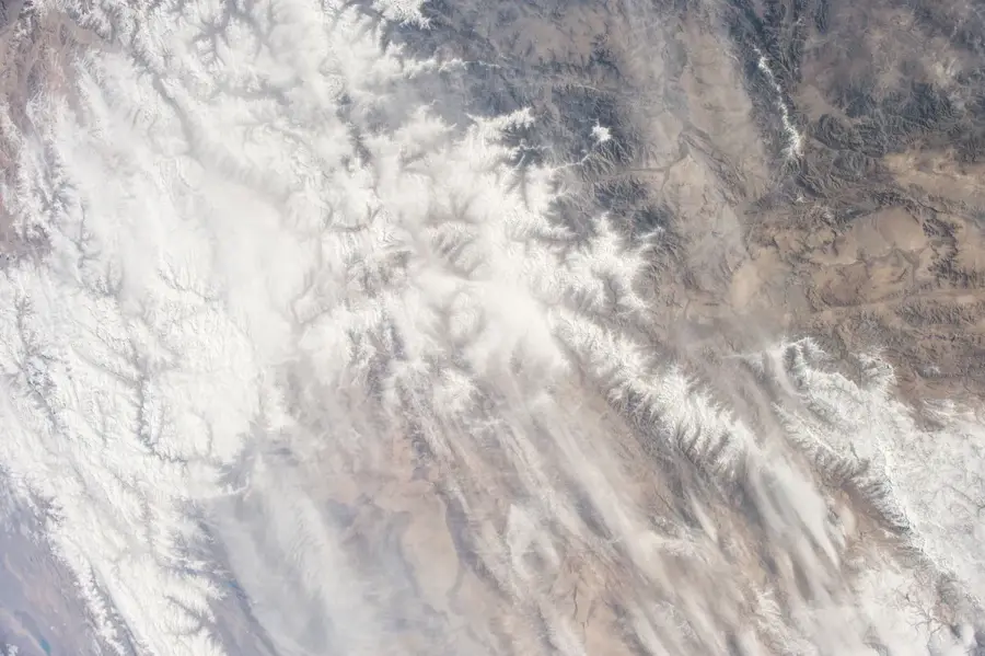
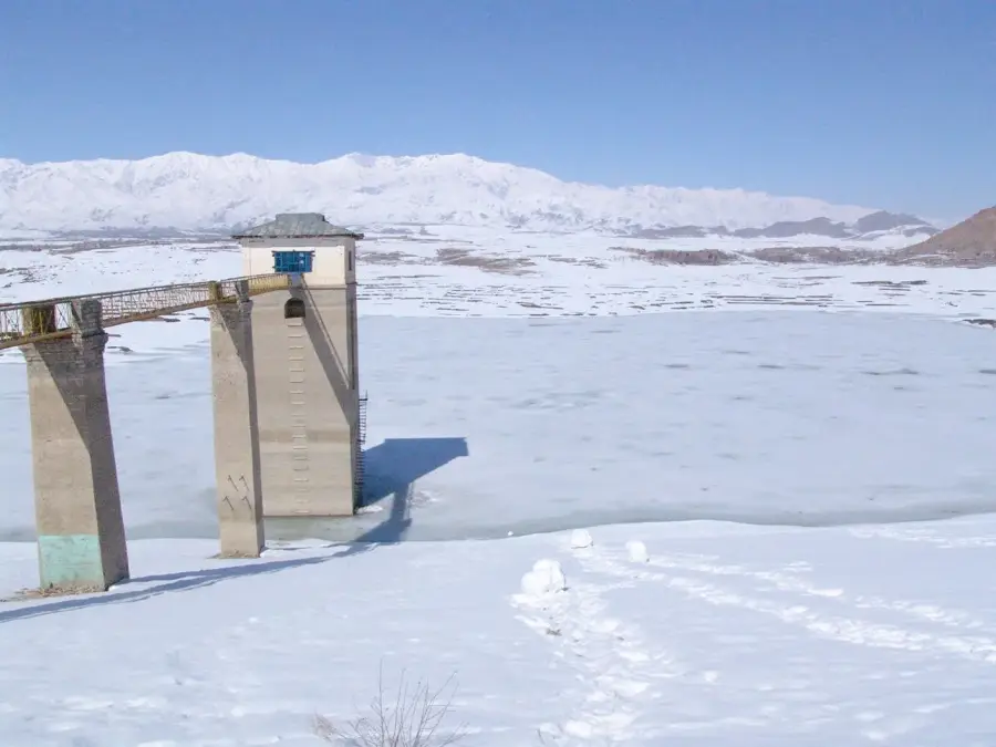
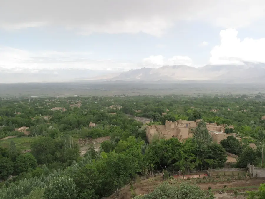
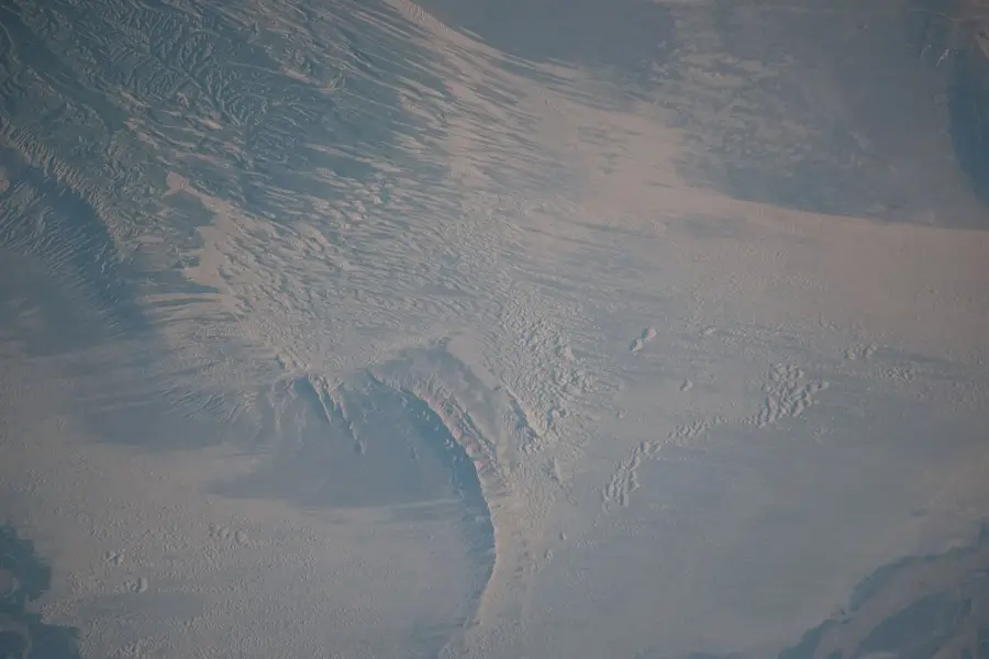
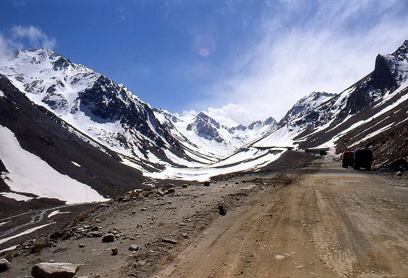
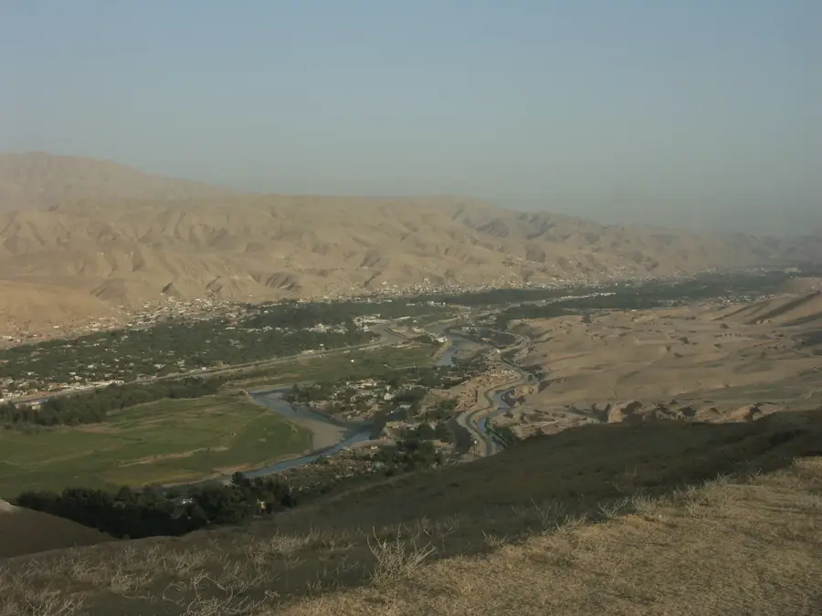
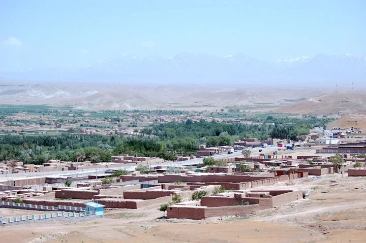
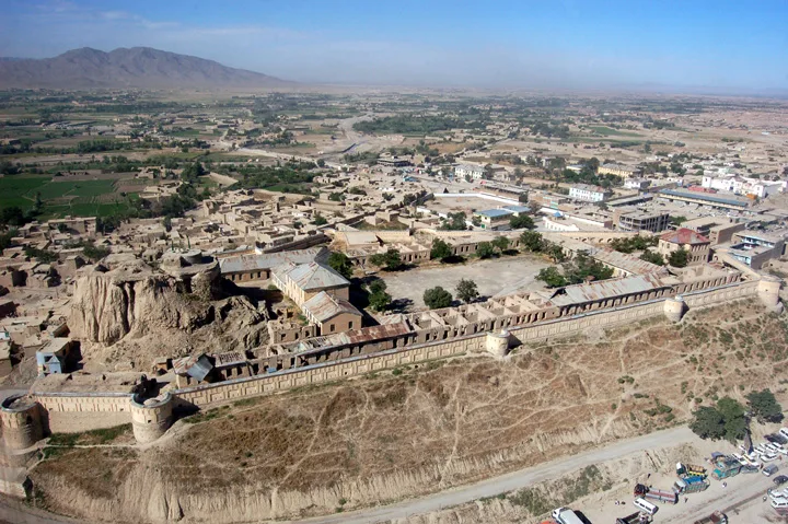
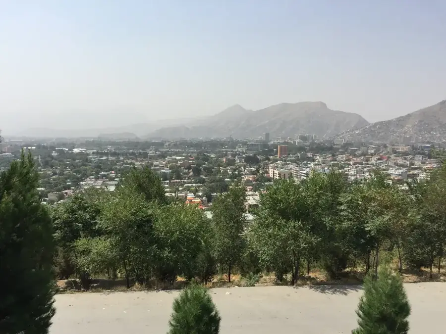
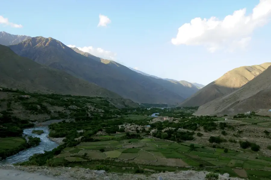
The Salang Pass is a vital transportation artery that crosses the Hindu Kush mountains at an altitude of nearly 4,000 meters. It connects the capital city of Kabul in the south with the northern provinces of Afghanistan. The centerpiece of the pass road is the 2.6-kilometer-long Salang Tunnel, built in the 1960s with Soviet assistance, which drastically reduced travel time. The road is of enormous strategic importance but is also exposed to extreme weather conditions. In winter, heavy snowfall and avalanches repeatedly lead to closures, effectively dividing the country in two. The pass is not only an engineering feat but also a symbol of humanity's struggle against the formidable nature of the Hindu Kush and the constant challenge of maintaining connections within the country.
Best time to visit & climate
The most pleasant time to visit is Jun–Aug.
| Jan | Feb | Mar | Apr | May | Jun | Jul | Aug | Sep | Oct | Nov | Dec | |
|---|---|---|---|---|---|---|---|---|---|---|---|---|
| Avg °C | -4 | -2 | 4 | 8 | 13 | 17 | 19 | 18 | 13 | 8 | 3 | -1 |
| Rain mm | 35 | 42 | 47 | 40 | 23 | 10 | 9 | 8 | 10 | 9 | 27 | 23 |
📋 Practical info
Geography
Explore nearby
Notable places around
Route planner — Car & Motorhome
Where do you start? We build the route here, with stops and country notes along the way.
© OpenStreetMap contributors · OpenRouteService
Sights in the town Salang Pass (1)
Sights nearby
Frequently asked questions
What is the Salang Pass?
When should you avoid the pass?
Is the drive scenic?
Is there infrastructure along the pass?
Why is the Salang Pass important?
Salang Pass: where is it located?
Salang Pass: when is the best time to visit?
Salang Pass: why is it worth visiting?

Nearby cities
History & landmarks

Nature
More places