Plizio Visual Lab
Salang Valley
Weather…
Water temperature…
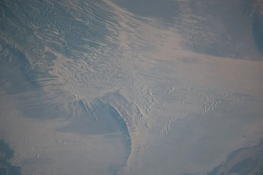
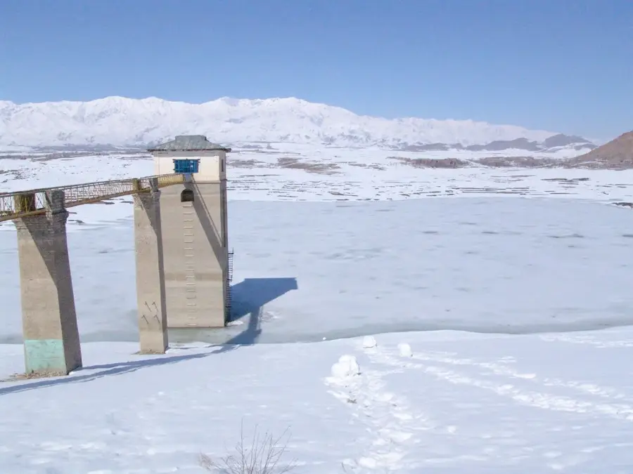
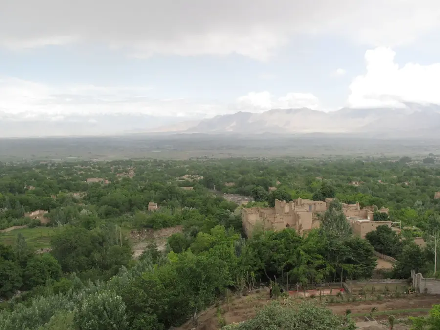
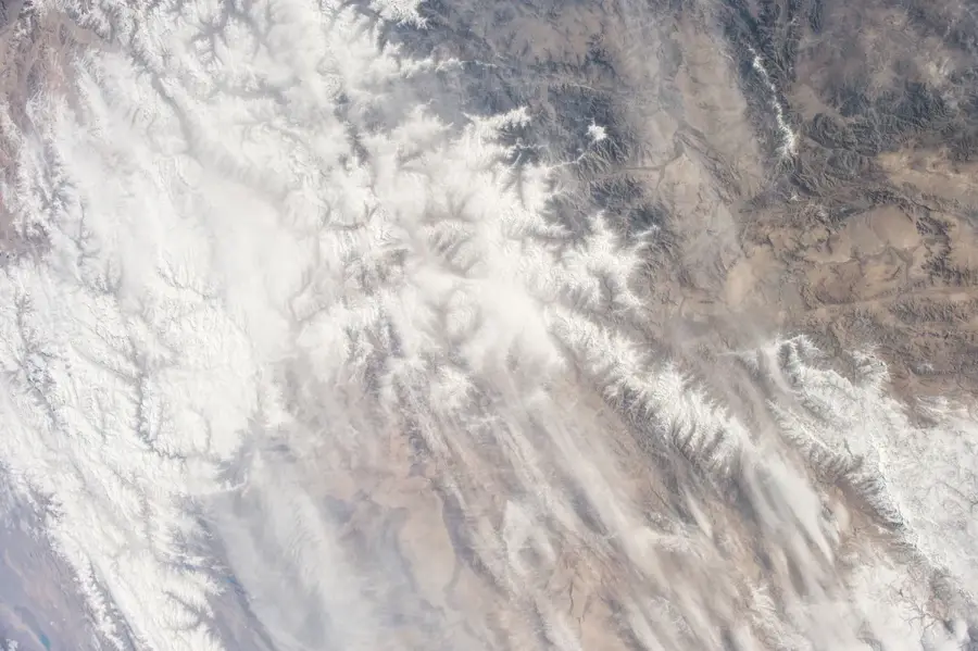
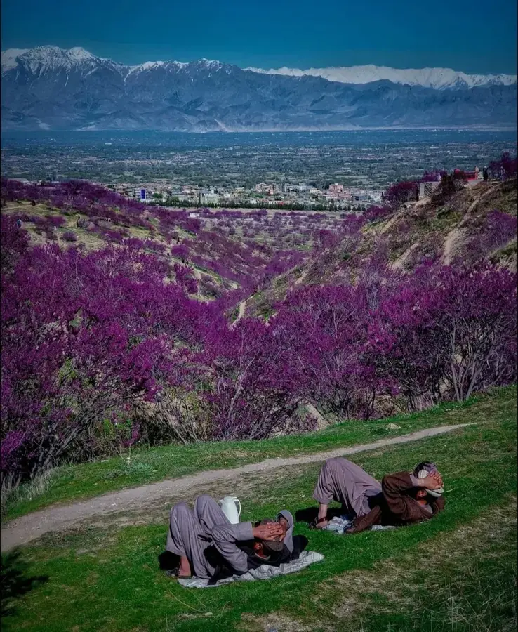
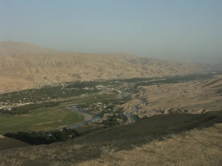
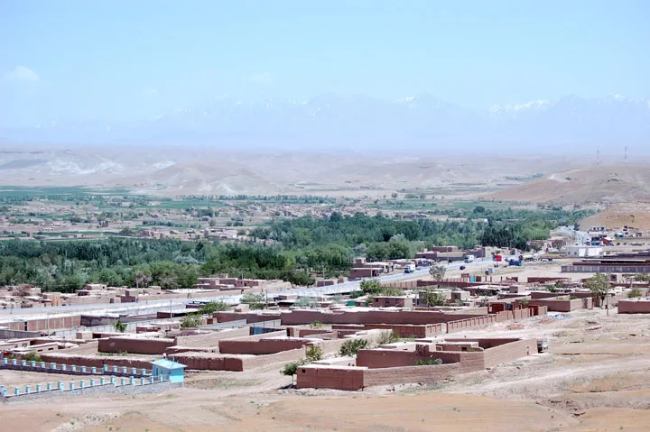
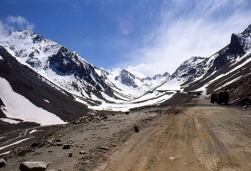
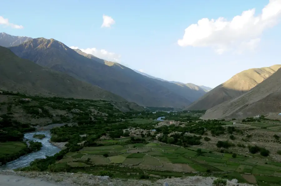
The Salang Valley is a critical transportation corridor cutting through the high peaks of the Hindu Kush mountain range, connecting northern Afghanistan with the capital city of Kabul to the south. The centerpiece of this route is the Salang Pass, which includes the nearly 2.7-kilometer-long Salang Tunnel. Built by Soviet engineers in the 1960s, the tunnel sits at an altitude of about 3,400 meters and was one of the world's highest road tunnels upon its completion. The route is notoriously treacherous, especially in winter, when heavy snowfall, avalanches, and icy conditions frequently render it impassable, cutting off the main link between the north and south of the country. Despite the inherent dangers, the valley remains an indispensable artery for commerce and travel in Afghanistan.
Best time to visit & climate
The most pleasant time to visit is Jun–Aug.
| Jan | Feb | Mar | Apr | May | Jun | Jul | Aug | Sep | Oct | Nov | Dec | |
|---|---|---|---|---|---|---|---|---|---|---|---|---|
| Avg °C | -4 | -2 | 4 | 8 | 13 | 17 | 19 | 18 | 13 | 8 | 3 | -1 |
| Rain mm | 35 | 42 | 47 | 40 | 23 | 10 | 9 | 8 | 10 | 9 | 27 | 23 |
📋 Practical info
Geography
Facts
- Connects northern Afghanistan with Kabul
- Cuts through the Hindu Kush mountains
- Features the Salang Tunnel, about 2.7 km long
- The tunnel is at an altitude of approx. 3,400 m
- Built with Soviet assistance in the 1960s
- Route is prone to heavy snow and avalanches in winter
- A vital artery for Afghan commerce and transport
- The Salang River flows through the valley
Explore nearby
Notable places around
Route planner — Car & Motorhome
Where do you start? We build the route here, with stops and country notes along the way.
© OpenStreetMap contributors · OpenRouteService
Sights in the town Salang Valley (1)
Sights nearby
Frequently asked questions
How easy is the valley to reach by road?
When is the best time to visit?
Are there simple lodgings or teahouses in the valley?
What is the visit best for?
What should you watch for on the way?
Salang Valley: where is it located?
Salang Valley: when is the best time to visit?
Salang Valley: why is it worth visiting?

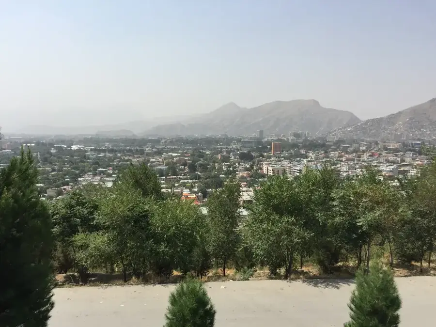
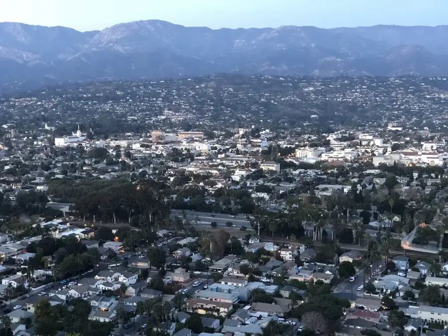
Nearby cities
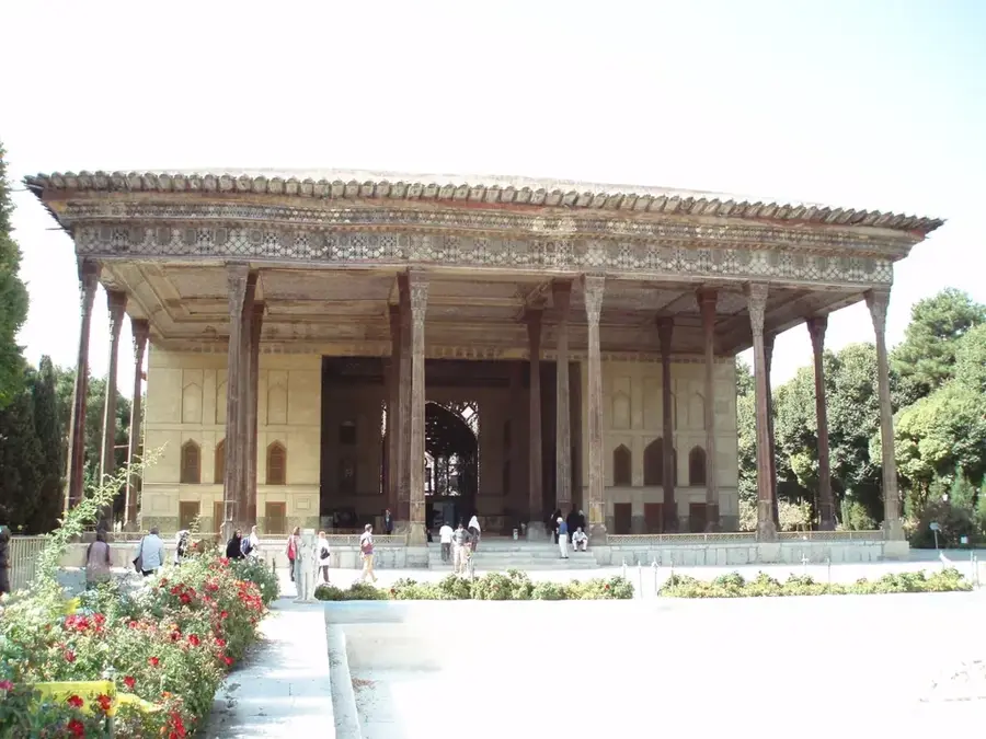
History & landmarks

Nature
More places