Plizio Visual Lab
Kabul River
Weather…
Water temperature…
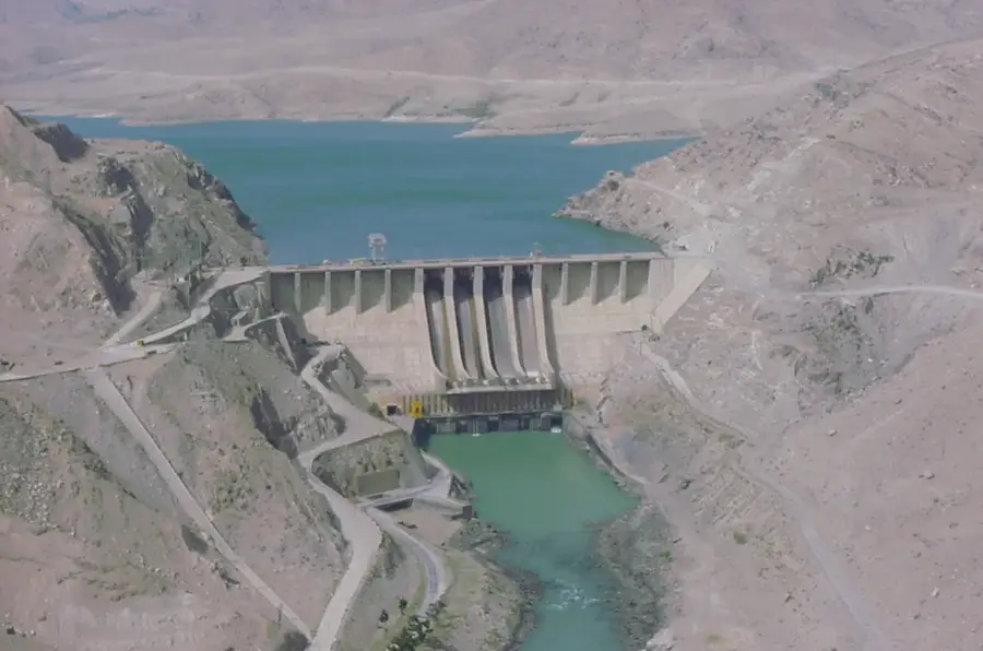
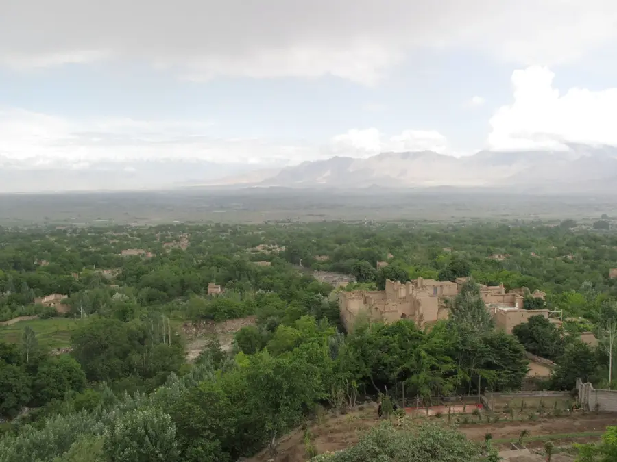
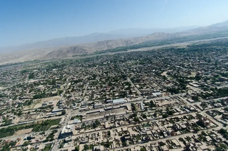
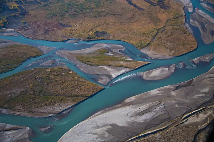
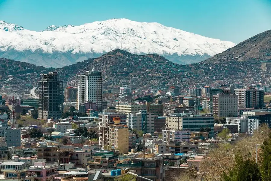
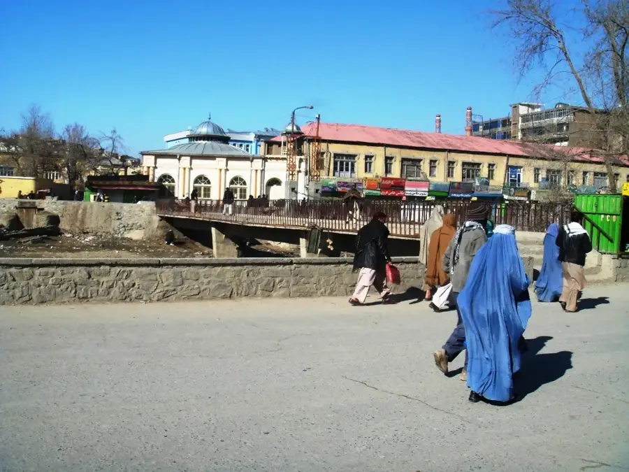
The Kabul River is the primary waterway in eastern Afghanistan, flowing through the capital city of Kabul and Jalalabad before entering Pakistan, where it joins the Indus River. Originating in the Sanglakh Range, the river traverses approximately 700 kilometers. It is essential for providing drinking water and irrigation to the densely populated Kabul region. Several significant dams, such as Naghlu and Surobi, harness the river's flow to generate hydroelectric power for the capital area. Geologically and historically, the Kabul Valley has served as a vital corridor connecting Central Asia with the Indian subcontinent. In ancient times, the river was known as the 'Kophen' and witnessed major battles and cultural exchanges. Today, due to rapid population growth and climate change, the river faces severe environmental challenges, including heavy pollution and declining water levels. Water management remains a sensitive diplomatic issue between Afghanistan and Pakistan.
Best time to visit & climate
The most pleasant time to visit is May, Jun, Sep.
| Jan | Feb | Mar | Apr | May | Jun | Jul | Aug | Sep | Oct | Nov | Dec | |
|---|---|---|---|---|---|---|---|---|---|---|---|---|
| Avg °C | 2 | 3 | 9 | 15 | 20 | 24 | 26 | 25 | 21 | 15 | 9 | 4 |
| Rain mm | 38 | 69 | 80 | 82 | 48 | 31 | 40 | 49 | 35 | 26 | 27 | 18 |
📋 Practical info
Geography
Facts
- The Kabul River is the only Afghan river whose waters eventually reach the open ocean.
- The Mahipar Gorge along the river is famous for its dramatic scenery and hydroelectric facilities.
- In summer, the river often reduces to a narrow stream as it passes through Kabul city.
- The Naghlu Dam is one of Afghanistan's highest dams, standing at over 100 meters tall.
- The Rigveda, an ancient collection of Vedic Sanskrit hymns, mentions the river by the name Kubha.
- Approximately 20 million people directly or indirectly depend on the Kabul River basin.
Explore nearby
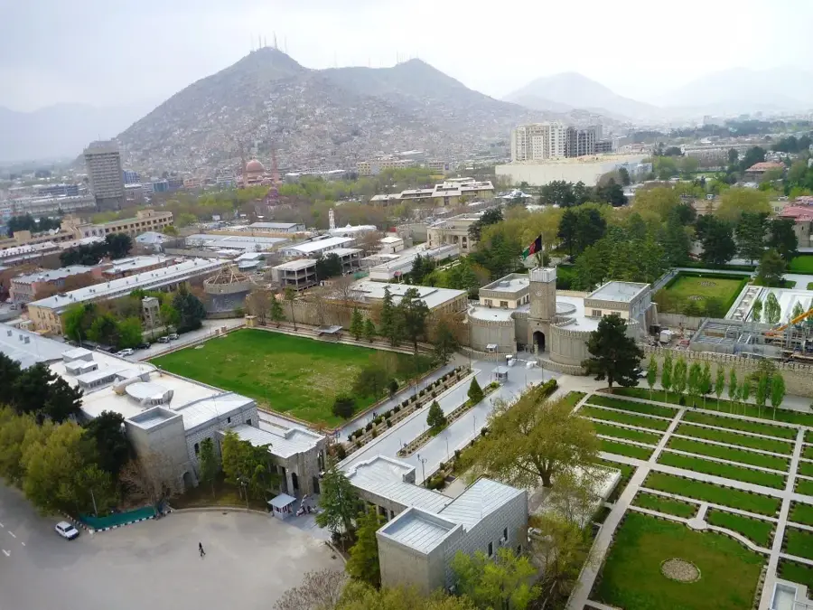
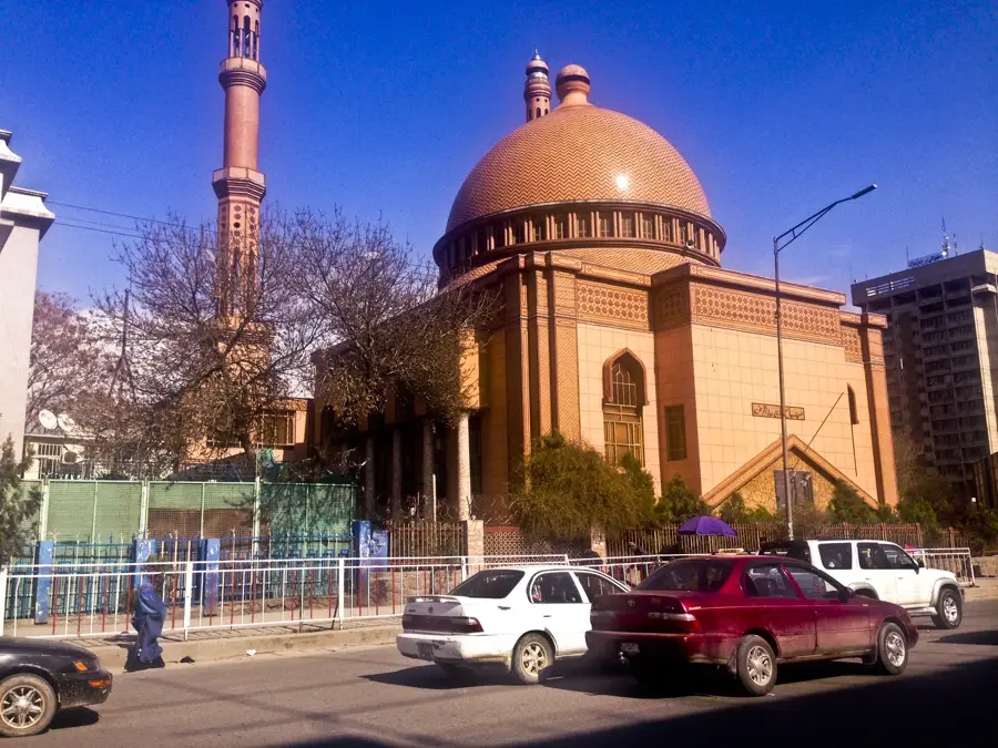
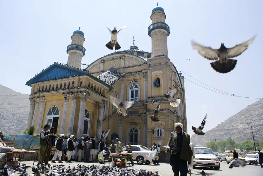
Notable places around
Route planner — Car & Motorhome
Where do you start? We build the route here, with stops and country notes along the way.
© OpenStreetMap contributors · OpenRouteService
Sights nearby
Frequently asked questions
What is the Kabul River?
Can you walk along the river?
Why is the Kabul River important?
When is the best time to visit?
How much time do you need?
Kabul River: where is it located?
Kabul River: when is the best time to visit?
Kabul River: why is it worth visiting?

Nearby cities
History & landmarks

More places