Plizio Visual Lab
Spīn Ghar
Weather…
Water temperature…
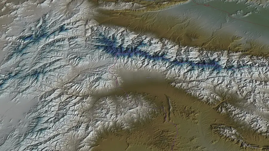
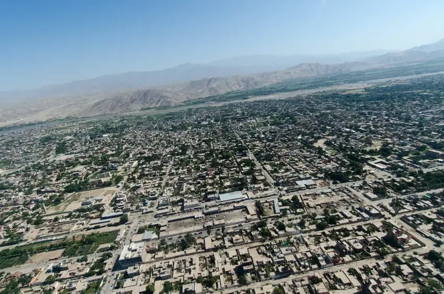
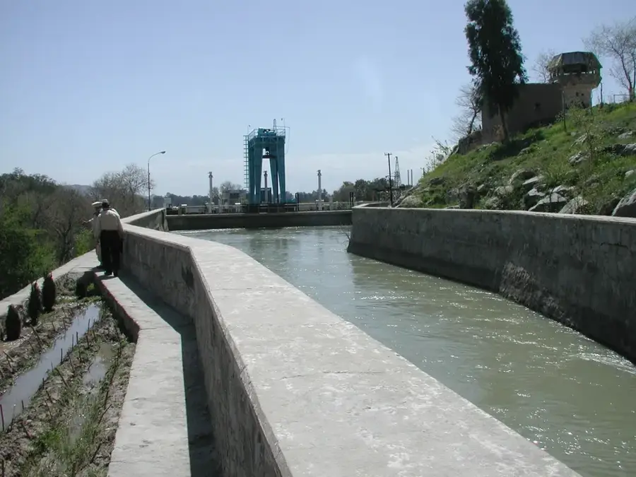
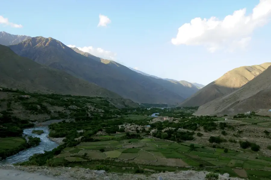
Spīn Ghar, topographically known as one of the most prominent elevations in eastern Afghanistan and western Pakistan, constitutes a massive natural barrier. The relief is characterized by steep, tectonically active slopes and deeply incised erosion valleys shaped by the runoff of numerous mountain streams. With peaks regularly exceeding 4,500 meters, the range dominates the skyline of Jalalabad. The morphological structure of Spīn Ghar results from the collision of the Indian and Eurasian plates, leading to complex folding and uplift of the terrain. The relief is marked by sharp ridges and extensive talus slopes that make access challenging. In winter, the entire chain is covered by a thick blanket of snow, earning it the name 'Safed Koh' (White Mountain). This topographical barrier has far-reaching effects on local meteorology and the historical development of transport axes in this border region.
- Location: Afghanistan
- Top sights: Kharlachi Fort · Imam Baba Shrine
Best time to visit & climate
The most pleasant time to visit is Jun, Aug, Sep.
| Jan | Feb | Mar | Apr | May | Jun | Jul | Aug | Sep | Oct | Nov | Dec | |
|---|---|---|---|---|---|---|---|---|---|---|---|---|
| Avg °C | 0 | 1 | 7 | 12 | 17 | 21 | 23 | 22 | 18 | 13 | 7 | 3 |
| Rain mm | 38 | 75 | 92 | 93 | 58 | 37 | 52 | 65 | 41 | 29 | 29 | 18 |
📋 Practical info
Geography
Facts
- Maximum elevation: 4,755 m (Sikaram Sar)
- Longitudinal extent: approx. 160 kilometers
- Relief type: Fold-block mountains
- Border position: Runs along the Durand Line
- Snow: Permanent firn fields on northern slopes
- Passes: The Khyber Pass forms the northeastern boundary
Explore nearby
Notable places around
Route planner — Car & Motorhome
Where do you start? We build the route here, with stops and country notes along the way.
© OpenStreetMap contributors · OpenRouteService
Sights in the town Spīn Ghar (2)
Sights nearby
Frequently asked questions
How hard is the tour up Spīn Ghar?
When is the best time to go?
How do you get there?
Are there food stalls or toilets on site?
What should I watch for in the weather?
Spīn Ghar: where is it located?
Spīn Ghar: what is there to see?
Spīn Ghar: when is the best time to visit?
Spīn Ghar: why is it worth visiting?

Nearby cities

History & landmarks
Nature
More places