Plizio Visual Lab
Katanga Plateau Extension
Weather…
Water temperature…
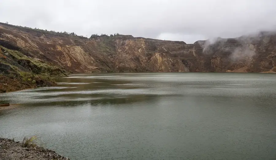
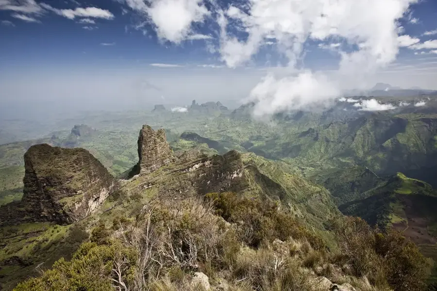
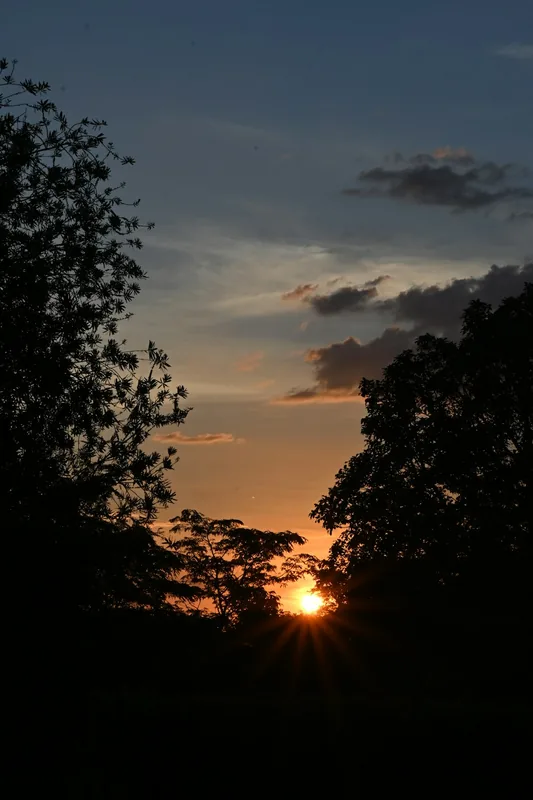
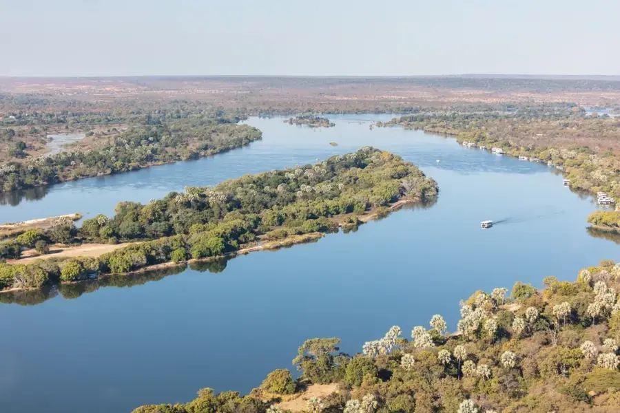
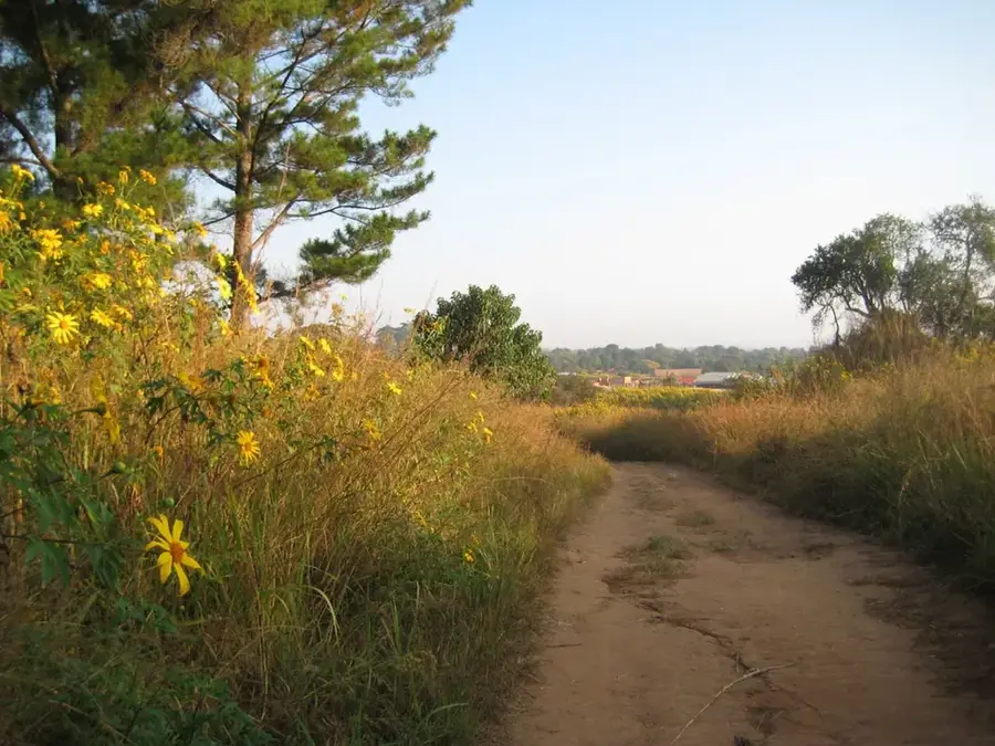
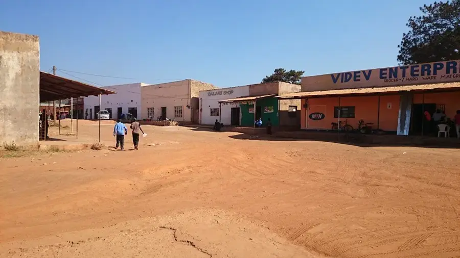
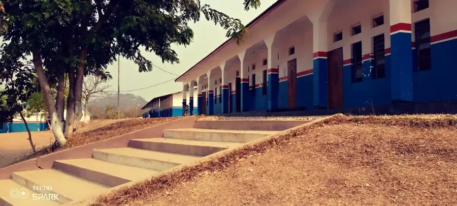
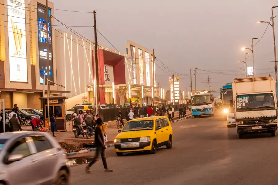
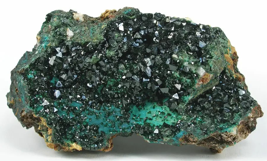
The Katanga Plateau Extension represents the southern reach of the Central African highlands, stretching from the Democratic Republic of the Congo into northern Zambia. This geological formation is of immense economic significance as it hosts the famous Copperbelt, one of the world richest deposits of copper and cobalt. The landscape is characterized by an undulating plateau at an average elevation of approximately 1200 meters above sea level. Climatically, the region belongs to the wetter parts of Southern Africa, which supports dense Miombo woodland vegetation. Historically, the plateau has been a center for mining and metalworking for centuries, long before the onset of European colonization. Today, the region forms the industrial backbone of Zambia and is critical for the global export of strategic minerals. The watershed between the Congo River basin to the north and the Zambezi basin to the south runs across this section of the plateau.
Best time to visit & climate
The most pleasant time to visit is May, Aug, Sep.
| Jan | Feb | Mar | Apr | May | Jun | Jul | Aug | Sep | Oct | Nov | Dec | |
|---|---|---|---|---|---|---|---|---|---|---|---|---|
| Avg °C | 20 | 21 | 20 | 20 | 19 | 17 | 17 | 20 | 24 | 25 | 22 | 21 |
| Rain mm | 220 | 172 | 171 | 64 | 5 | 0 | 0 | 1 | 7 | 52 | 150 | 253 |
📋 Practical info
Geography
Facts
- The plateau sits at an average elevation of 1200 meters.
- It hosts the Zambian Copperbelt with vast copper reserves.
- The region receives over 1000 mm of annual rainfall.
- It forms the watershed between the Congo and Zambezi rivers.
- The dominant vegetation type is Miombo woodland.
- Copper mining has been practiced here since the 14th century.
Explore nearby
Notable places around
Route planner — Car & Motorhome
Where do you start? We build the route here, with stops and country notes along the way.
© OpenStreetMap contributors · OpenRouteService
Sights nearby
Frequently asked questions
How do you get to the Katanga Plateau extension?
Is the region developed for tourists?
What should one definitely have with them?
What season is ideal?
Is orientation difficult?
Katanga Plateau Extension: where is it located?
Katanga Plateau Extension: when is the best time to visit?
Katanga Plateau Extension: why is it worth visiting?

Nearby cities
Nature
More places