Plizio Visual Lab
Northwestern Highlands
Weather…
Water temperature…
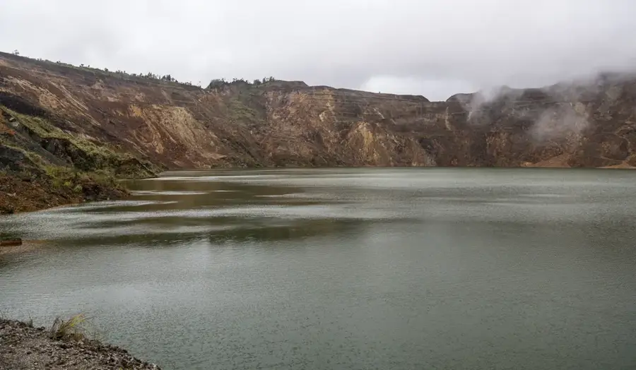
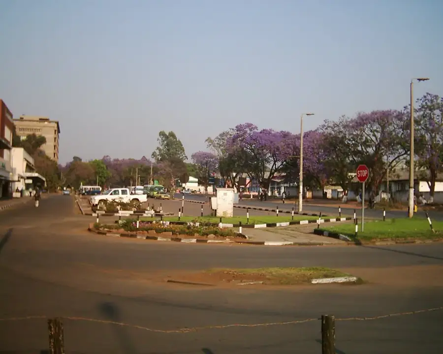
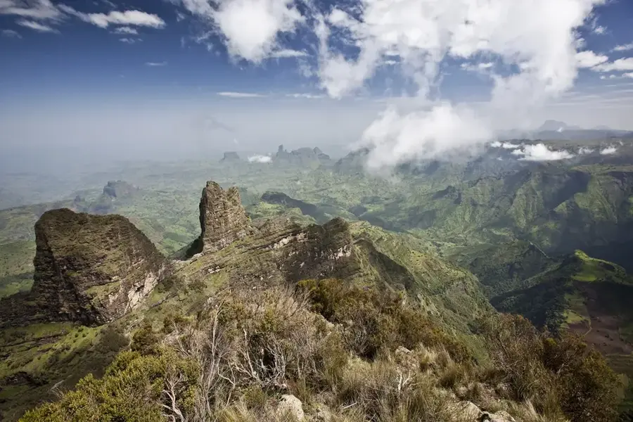
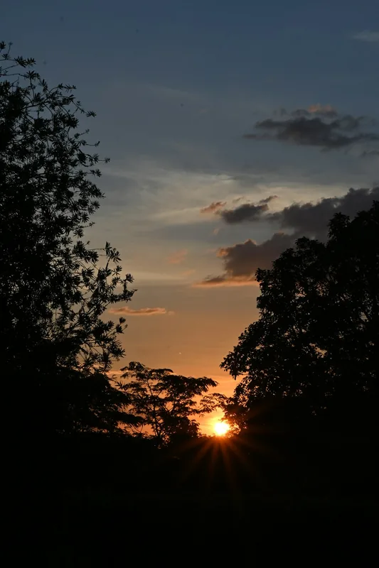
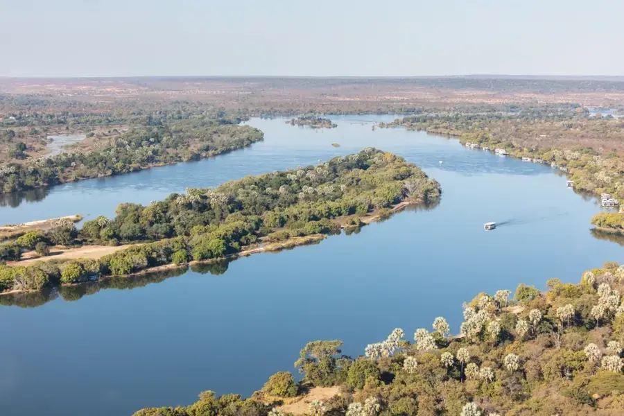
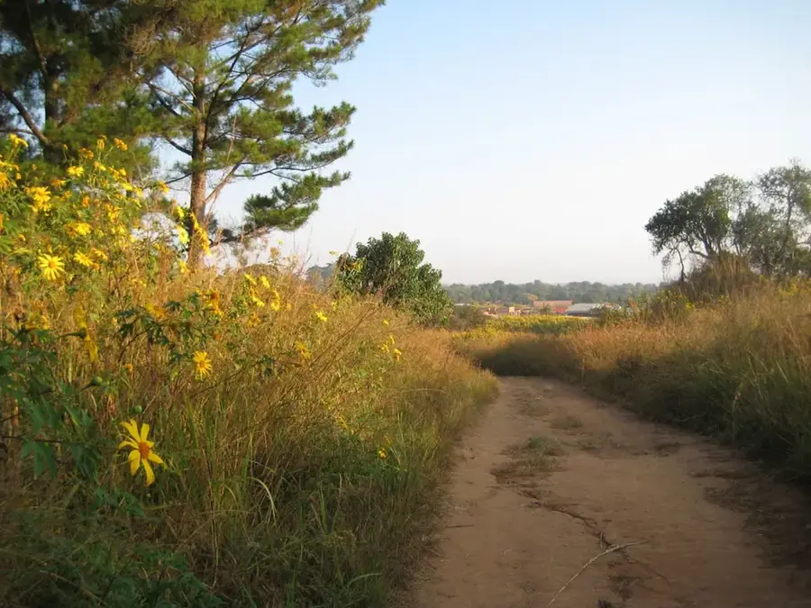
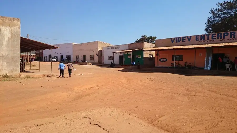
The Northwestern Highlands of Zambia constitute an extensive and rugged upland region along the borders with Angola and the Democratic Republic of Congo. The relief is characterized by undulating plains and rolling hills that form part of the great Central African watershed. Geologically, the highlands are composed of ancient Precambrian rocks containing vast mineral wealth, particularly copper and gold, leading to the region's development as the 'New Copperbelt.' The average elevation ranges from 1,100 to 1,400 meters above sea level, gently sloping southward toward the upper Zambezi basin. This region receives some of the highest annual rainfall in Zambia, fostering dense Miombo woodlands and isolated patches of evergreen forest. Historically, the highlands remained sparsely populated and isolated from major colonial trade routes, preserving many traditional cultural practices. The area is of critical hydrological importance as it hosts the source of the Zambezi River near Ikelenge. Today, the Northwestern Highlands are one of Zambia's fastest-growing economic zones due to large-scale mining investments.
- Location: Zambia
- Nearby: Mwinilunga (69 km)
Best time to visit & climate
The most pleasant time to visit is May, Aug, Sep.
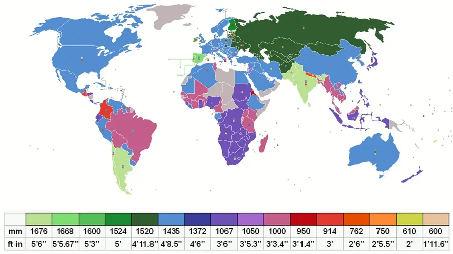
| Jan | Feb | Mar | Apr | May | Jun | Jul | Aug | Sep | Oct | Nov | Dec | |
|---|---|---|---|---|---|---|---|---|---|---|---|---|
| Avg °C | 21 | 21 | 21 | 20 | 18 | 17 | 17 | 20 | 24 | 25 | 23 | 21 |
| Rain mm | 247 | 217 | 197 | 74 | 4 | 0 | 1 | 3 | 11 | 51 | 180 | 264 |
📋 Practical info
Geography
Facts
- The highlands form the watershed between the Zambezi and Congo basins.
- The region receives over 1,400 mm of annual rainfall on average.
- The Zambezi River originates here at an elevation of roughly 1,450 meters.
- The area contains some of the largest modern copper mines in Zambia.
- Geologically, the region is part of the mineral-rich Lufilian Arc.
- Ikelenge in the highlands is a hotspot for endemic bird species.
Explore nearby
Notable places around
Route planner — Car & Motorhome
Where do you start? We build the route here, with stops and country notes along the way.
© OpenStreetMap contributors · OpenRouteService
Sights nearby
Frequently asked questions
How is the landscape in the Northwestern Highlands?
Is the region safe?
What are the best activities?
When is the best time to travel?
Is there infrastructure there?
Northwestern Highlands: where is it located?
Northwestern Highlands: when is the best time to visit?
Northwestern Highlands: why is it worth visiting?

Nearby cities
Nature

More places