Plizio Visual Lab
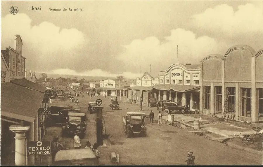
Kambove
ℹ️Practical info — Kambove
▾
🌤 Weather — 5 days
📍 Nearby
Sights nearby
💡 Tips
- Located in the Katanga copper belt, expect red dust everywhere. Avoid wearing white clothing.
- The town is small and mostly navigable on foot, but motorcycle taxis (wewa) are cheap and plentiful for longer distances.
- Evenings can be surprisingly cool due to the elevation; bring a light jacket.
- Check if access to historical mining sites is permitted before wandering too close to industrial areas.
🍽 Food
The regional maize porridge staple, usually served with a rich tomato and meat sauce.
Goat skewers grilled on the streets in the evening, a popular and quick local meal.
Sweet potato leaves prepared with peanut sauce, a delicious vegetarian option in traditional restaurants.
🛍 Shopping · 🧘 Quiet spots
Great for observing local life and buying fresh agricultural produce from surrounding villages.
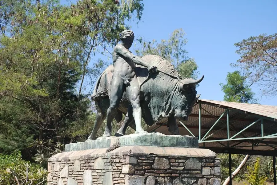
While rare, you can sometimes find small local carvings or copper crafts near the market.
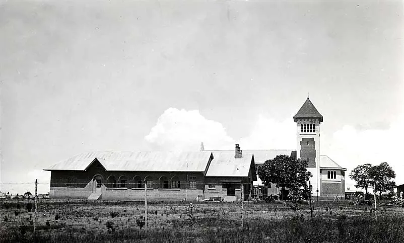
Some streets still feature older, quieter Belgian colonial architecture.
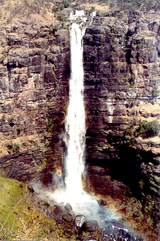
The area around Kambove is hilly and has scenic, quiet spots if you hike slightly out of town.
Water temperature…
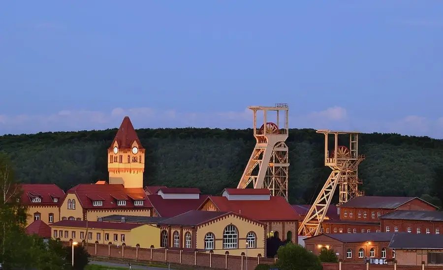
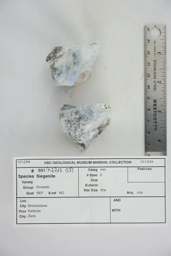
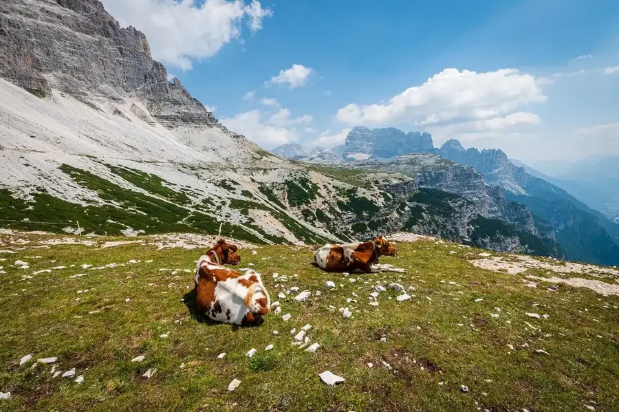
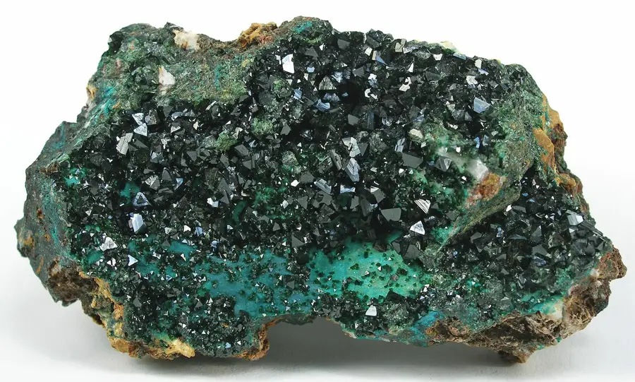
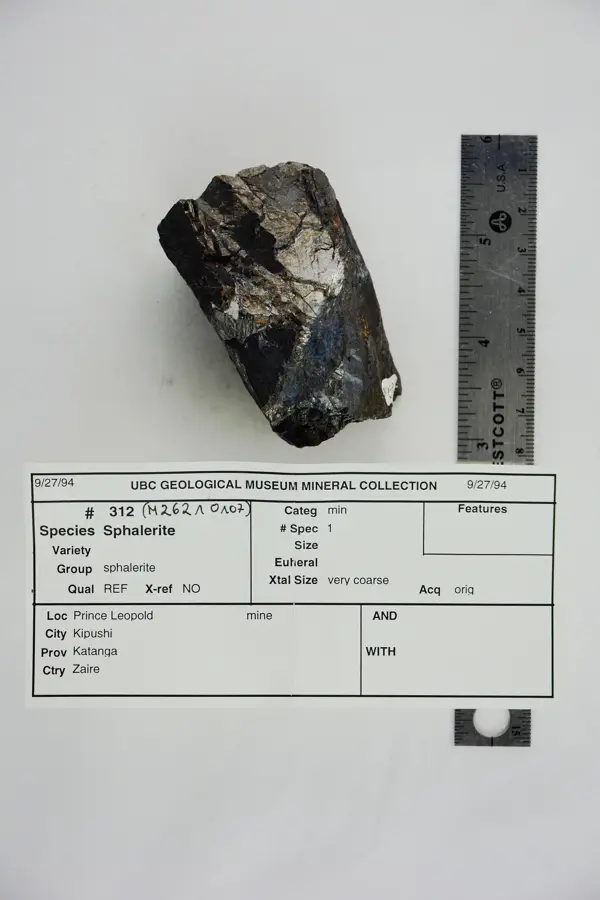
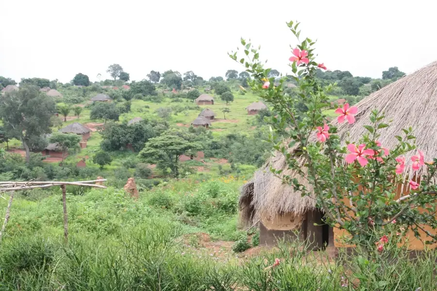
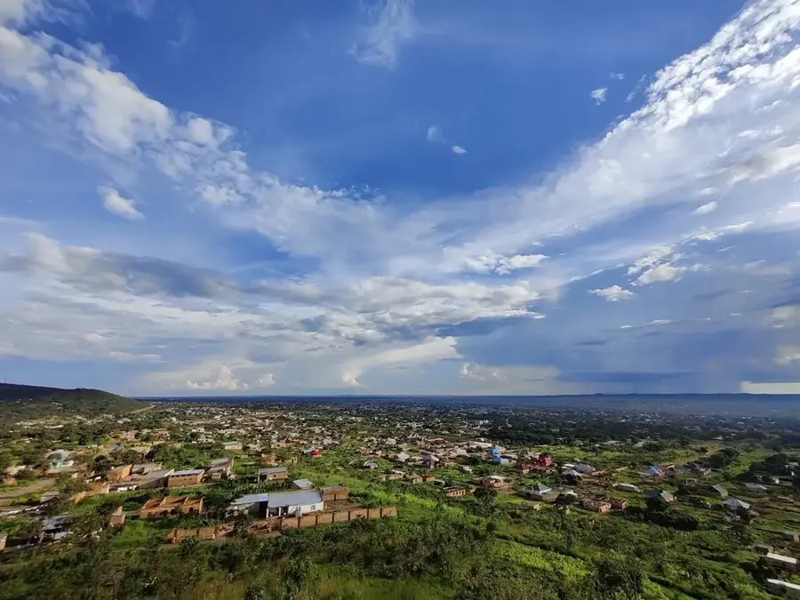
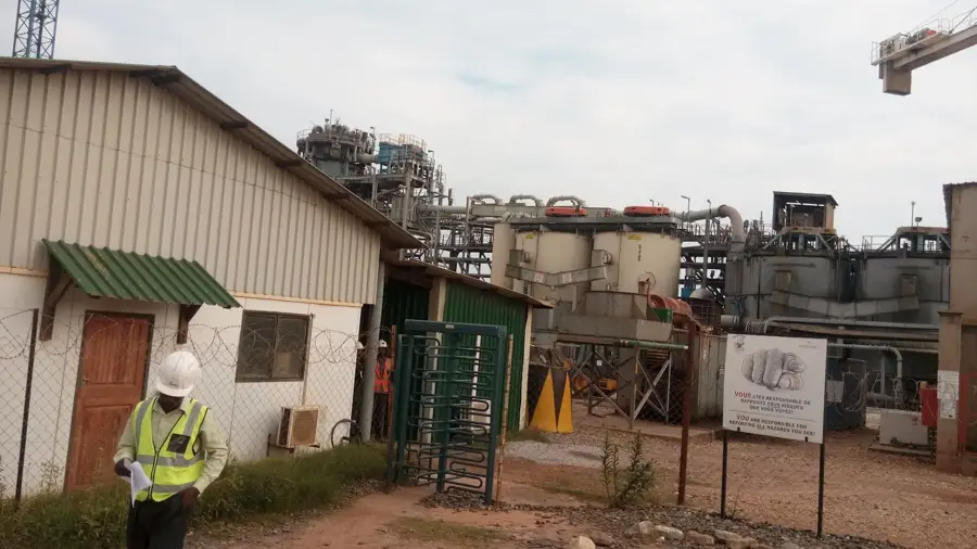
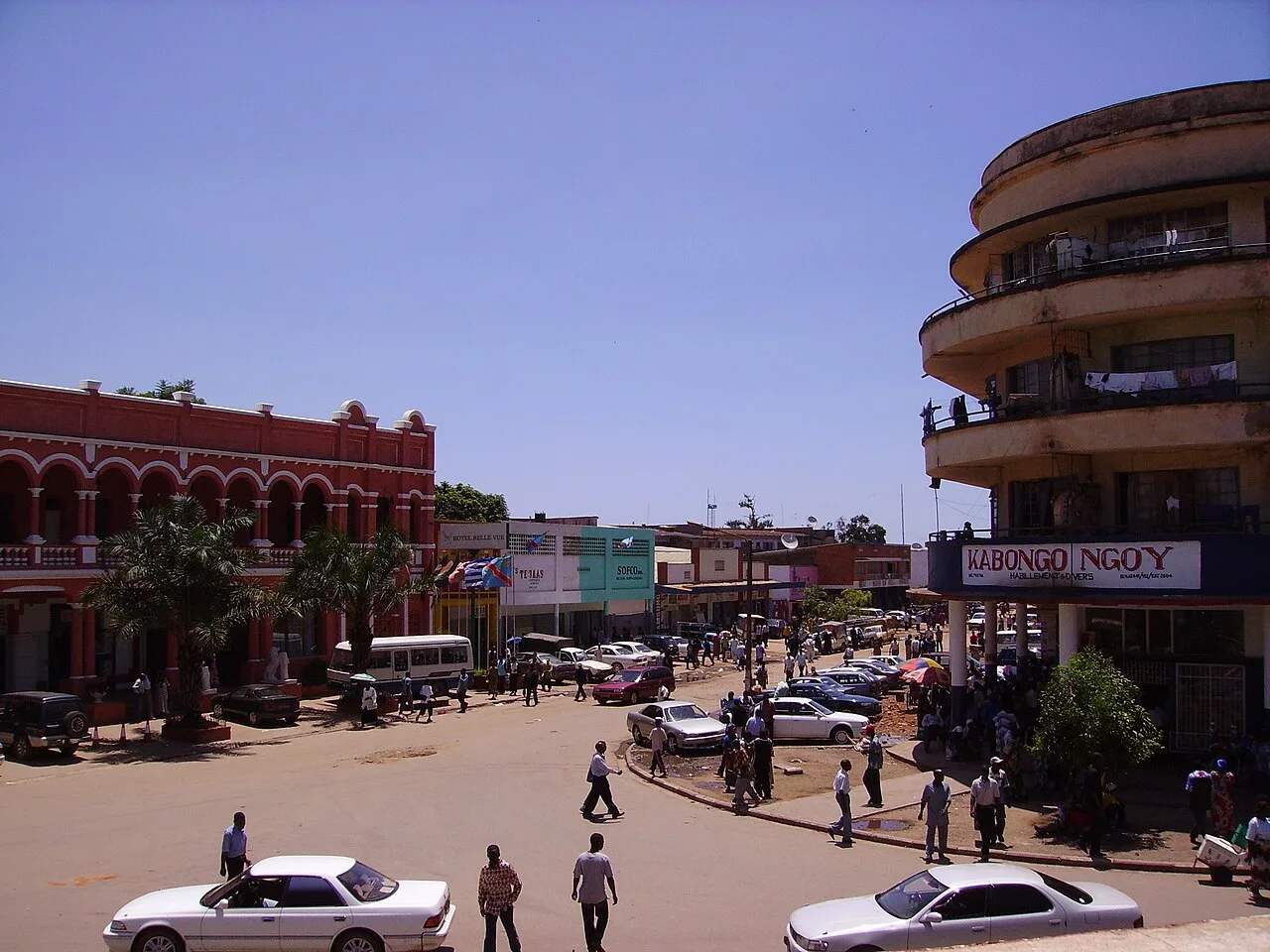
Kambove is a prominent mining town located in the Haut-Katanga Province in the southeastern part of the Democratic Republic of the Congo. Situated in the heart of the Central African Copperbelt, the town has a long history of mineral extraction that was significantly developed in the early 20th century under colonial administration. The mines surrounding Kambove are renowned for their high-grade copper and cobalt deposits, which are vital components of the global supply chain for these strategic minerals. Geographically, the settlement sits on a high plateau at an elevation of approximately 1,450 meters, resulting in a cooler climate compared to the low-lying Congo Basin. Kambove is connected to the regional capital, Lubumbashi, via the national railway network, which is essential for transporting ore. Beyond industrial mining, the town serves as the administrative headquarters for the Kambove Territory and supports a population engaged in both large-scale and artisanal mining activities.
- Location: Congo - Kinshasa
- Nearby: Likasi (19 km)
- Population: ~99.884 (2023)
Best time to visit & climate
The most pleasant time to visit is May, Aug, Sep.
| Jan | Feb | Mar | Apr | May | Jun | Jul | Aug | Sep | Oct | Nov | Dec | |
|---|---|---|---|---|---|---|---|---|---|---|---|---|
| Avg °C | 20 | 21 | 20 | 20 | 19 | 17 | 17 | 20 | 24 | 25 | 22 | 21 |
| Rain mm | 220 | 172 | 171 | 64 | 5 | 0 | 0 | 1 | 7 | 52 | 150 | 253 |
Geography
Facts
- Kambove is located in the Haut-Katanga Province of the DRC.
- The town is situated at an average elevation of 1,450 meters above sea level.
- Copper and cobalt are the primary minerals extracted in the region.
- A railway line connects the town to the provincial capital, Lubumbashi.
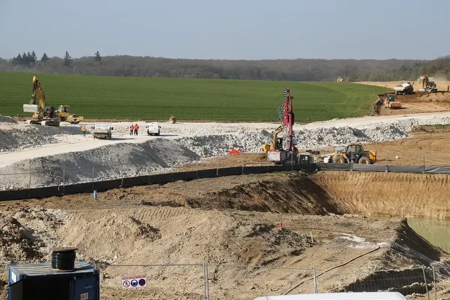
- Large-scale mining operations in the area date back to 1921.
- The town serves as the administrative center for the Kambove Territory.
Explore nearby
Notable places around
Route planner — Car & Motorhome
Where do you start? We build the route here, with stops and country notes along the way.
© OpenStreetMap contributors · OpenRouteService
Frequently asked questions
What is Kambove famous for?
Where is Kambove located?
Can you visit the mines?
How is the infrastructure in Kambove?
What other economic sectors exist?
Kambove: where is it located?
Kambove: when is the best time to visit?
Kambove: why is it worth visiting?

Nearby cities
History & landmarks
More places