Plizio Visual Lab
Lungwebungu River

Weather…
Water temperature…
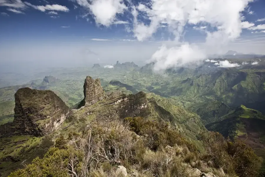
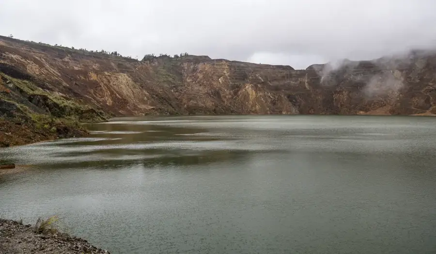
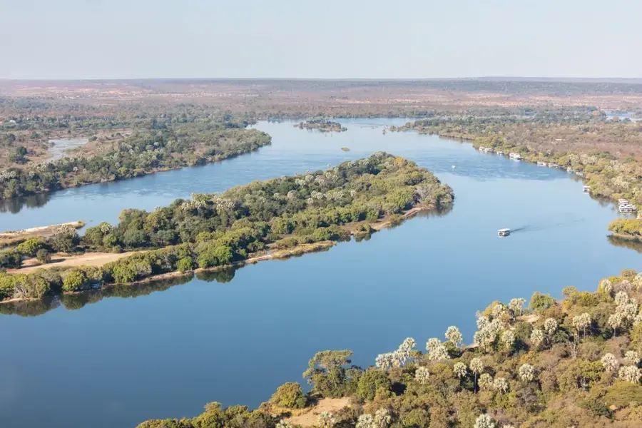
The Lungwebungu River is a major tributary of the Zambezi River in western Zambia, flowing approximately 350 km from its source in the Angolan highlands. It traverses a region characterized by seasonally flooded grasslands and swamps, supporting a diverse ecosystem. The river's hydrology is integral to the Barotse Floodplain, which is a Ramsar site of international importance. Local communities, primarily the Lozi people, rely on the river for fishing, agriculture, and transport. The Lungwebungu is relatively pristine but faces potential threats from upstream oil exploration in Angola and overgrazing. Its waters are nutrient-rich, fostering growth of papyrus and reeds. The river is not navigable by large vessels but serves as a vital water source during dry months.
Best time to visit & climate
The most pleasant time to visit is May, Jun, Aug.
| Jan | Feb | Mar | Apr | May | Jun | Jul | Aug | Sep | Oct | Nov | Dec | |
|---|---|---|---|---|---|---|---|---|---|---|---|---|
| Avg °C | 23 | 23 | 23 | 23 | 21 | 19 | 19 | 22 | 26 | 28 | 26 | 24 |
| Rain mm | 187 | 167 | 138 | 34 | 3 | 0 | 0 | 2 | 3 | 24 | 113 | 194 |
📋 Practical info
Geography
Facts
- Length: 350 km
- Catchment area: 30,000 km²
- Source elevation: 1,300 m
- Average discharge: 15 m³/s
- Major tributary: Lukwakwa River
- Floodplain area: 6,000 km²
Route planner — Car & Motorhome
Where do you start? We build the route here, with stops and country notes along the way.
© OpenStreetMap contributors · OpenRouteService
Sights nearby
Frequently asked questions
Is the Lungwebungu River touristically known?
What vehicles are required?
Can you fish there?
What is the health situation there?
When should you avoid this river?
Lungwebungu River: where is it located?
Lungwebungu River: when is the best time to visit?
Lungwebungu River: why is it worth visiting?

Nearby cities
Nature
More places