Plizio Visual Lab
Pweto
ℹ️Practical info — Pweto
▾
🌤 Weather — 5 days
📍 Nearby
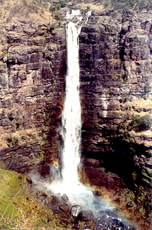
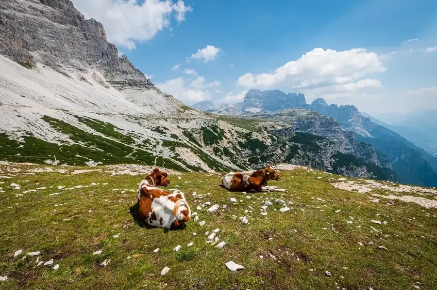
Sights nearby
💡 Tips
- Situated right on Lake Mweru, boat transport to Zambia is common, but be sure to verify border crossing rules beforehand.
- Swahili and Bemba are the predominant languages, reflecting the close-knit cross-border culture.
- Sunsets over Lake Mweru are dramatic; make sure to find a good spot on the western shore in time.
- Be extremely cautious when walking near the lake shores, especially at dusk, due to crocodiles and hippos.
🍽 Food
Caught right from Lake Mweru, best enjoyed fried crispy at the small wooden shacks along the lakeside.
Tiny dried fish eaten with a savory tomato relish and a large portion of fufu.
A rich, heavy stew made of palm or peanuts, left to simmer for hours at local street diners.
🛍 Shopping · 🧘 Quiet spots
The absolute center for fresh fish and the bustling cross-lake trade into Zambia.
Around the border area, you will find a colorful mix of animated fabrics and household items from both countries.
Find a quiet spot in the late afternoon to watch the gentle waves and passing fishing boats.
A short hike upwards rewards you with a sweeping panoramic view over the vast water and into Zambia.
Water temperature…
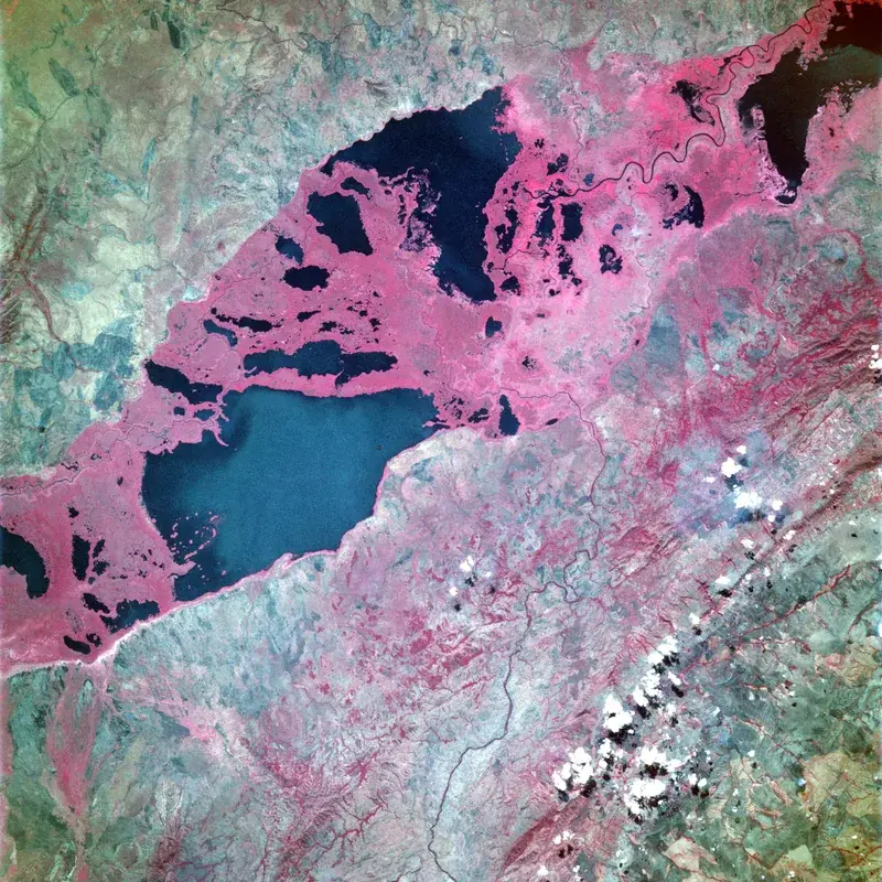
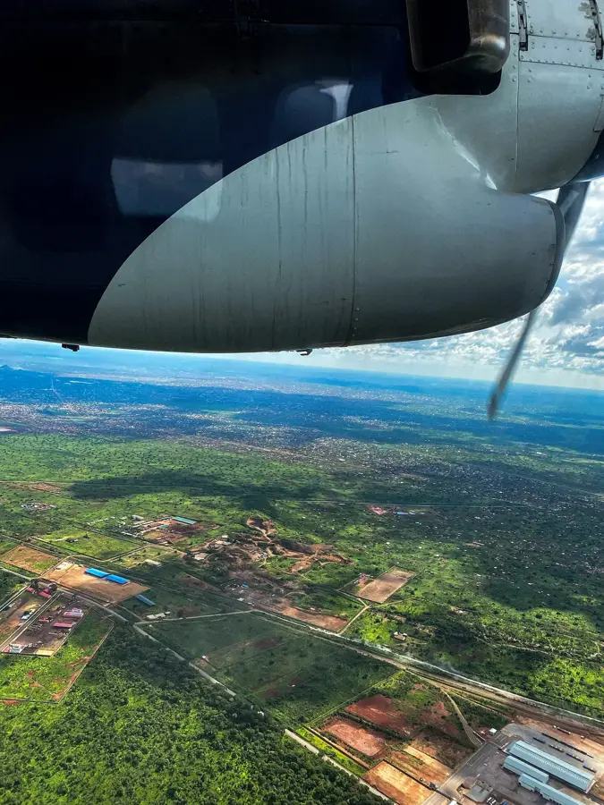
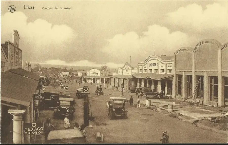
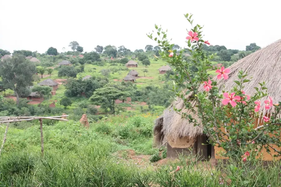
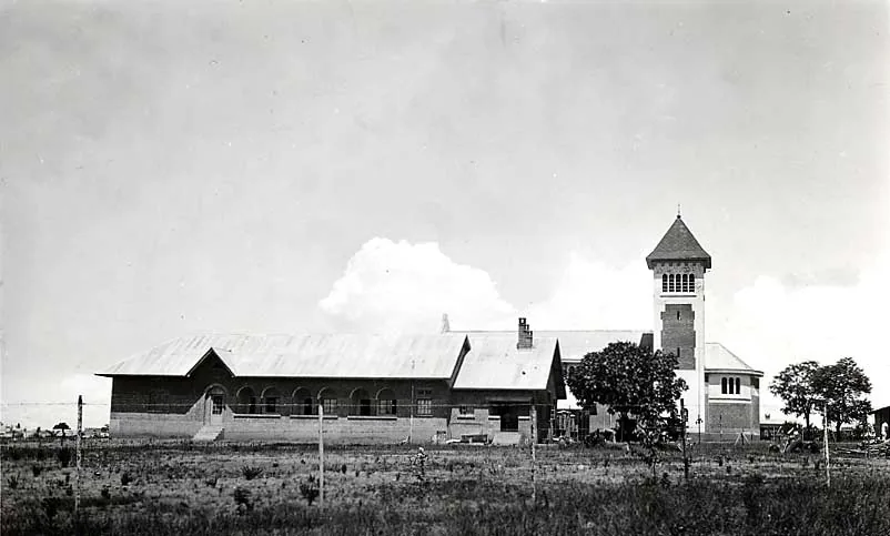
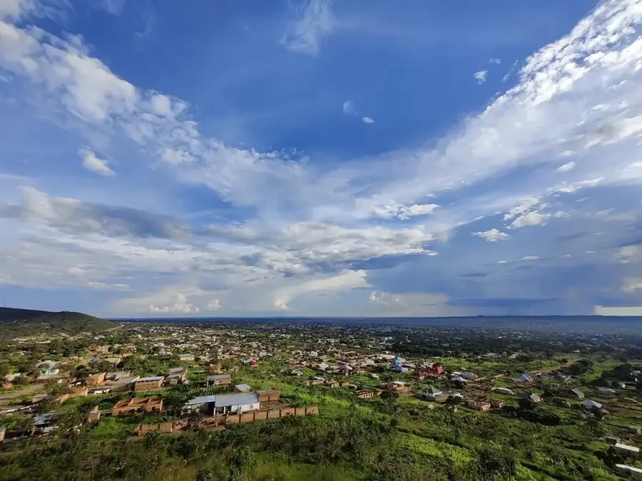
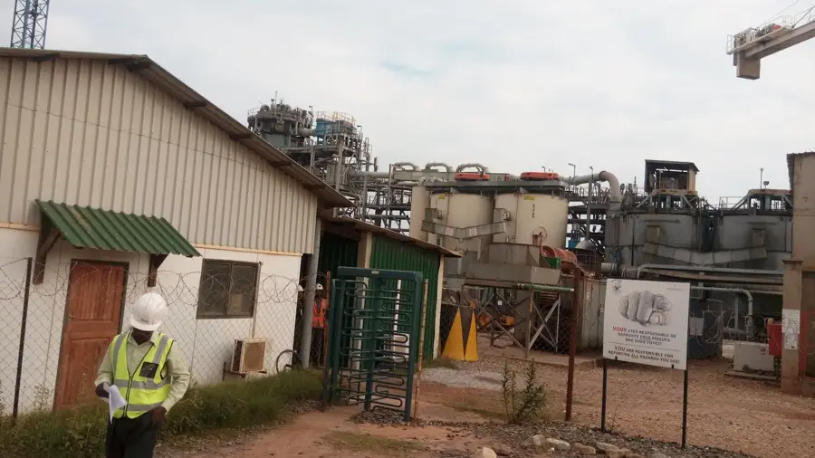
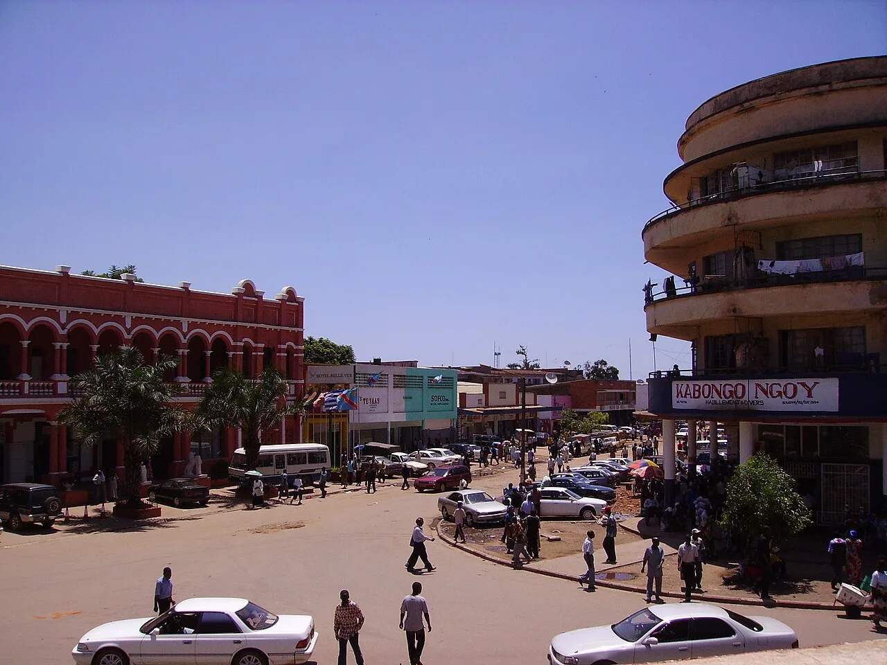
Pweto is a border town and territory in Haut-Katanga province, located on the northern shore of Lake Mweru at the border with Zambia. The town is situated at the point where the Luvua River exits the lake, making it a strategically important location for water management and fishing. Pweto is a major commercial hub connecting Congo with Zambian markets, with cross-border trade playing a central role in the local economy. The geography is characterized by vast plains and proximity to the lake, making fishing the most critical livelihood for thousands of people. Historically, Pweto gained notoriety in 2000 during the Second Congo War due to a decisive battle that led to a massive displacement of refugees into Zambia. In recent years, the region has stabilized, and investments have been made in infrastructure, such as the construction of an airstrip. The surroundings of Pweto are also rich in mineral resources that have not yet been exploited on a large scale. The town serves as a gateway to the Mweru Wantipa National Park in neighboring Zambia.
- Location: Congo - Kinshasa
- Population: ~38.298 (2023)
Best time to visit & climate
The most pleasant time to visit is May–Jul.
| Jan | Feb | Mar | Apr | May | Jun | Jul | Aug | Sep | Oct | Nov | Dec | |
|---|---|---|---|---|---|---|---|---|---|---|---|---|
| Avg °C | 22 | 23 | 23 | 23 | 22 | 21 | 21 | 23 | 26 | 26 | 24 | 23 |
| Rain mm | 195 | 156 | 186 | 89 | 11 | 1 | 1 | 3 | 10 | 56 | 172 | 214 |
Geography
Facts
- Pweto is located at the point where the Luvua River originates from Lake Mweru.
- The town is a significant border crossing between Congo and Zambia.
- In 2000, it was the site of one of the largest battles of the Second Congo War.
- Fishing in Lake Mweru is the most important economic sector of the region.
- Pweto features a modern airstrip to facilitate regional flights.
- The town is situated approximately 400 kilometers north of Lubumbashi.
Explore nearby
Notable places around
Route planner — Car & Motorhome
Where do you start? We build the route here, with stops and country notes along the way.
© OpenStreetMap contributors · OpenRouteService
Sights in the town Pweto (1)
Frequently asked questions
Where is Pweto located?
What is the economic significance of Pweto?
What is the landscape around Pweto like?
Can you enter Zambia from Pweto?
Are there transport options available?
Pweto: where is it located?
Pweto: when is the best time to visit?
Pweto: why is it worth visiting?

Nearby cities
History & landmarks

More places