Plizio Visual Lab
Port of La Guaira
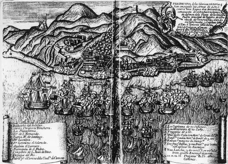
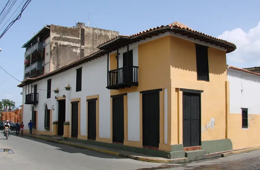
The Port of La Guaira is Venezuela's most significant maritime gateway and the primary supply hub for the capital city, Caracas. Located at the base of the Ávila massif in La Guaira State, the port's history dates back to its founding by Diego de Osorio in 1589. Given its strategic importance on the Caribbean Sea, it was heavily fortified during the colonial era with structures like the El Vigía and San Carlos forts to defend against pirate incursions. In modern times, the port has undergone extensive modernization, most notably with the 2014 opening of a high-tech container terminal designed to handle Post-Panamax vessels. Geographically, the coastal strip is remarkably narrow, leading to a dense urban layout that climbs the steep mountain slopes. The port facilitates the import of essential goods, vehicles, and industrial machinery, while also serving as a key terminal for international cruise ships and passenger ferries. Following the catastrophic mudslides of 1999, the port infrastructure was significantly rehabilitated to restore its vital role in the national economy.
- Location: Venezuela
- Top sights: Mirador de Pedro García · Cruz de Peña de Mora · Mirador de Las Trincheras
Best time to visit & climate
The most pleasant time to visit is Jan–Mar.
| Jan | Feb | Mar | Apr | May | Jun | Jul | Aug | Sep | Oct | Nov | Dec | |
|---|---|---|---|---|---|---|---|---|---|---|---|---|
| Avg °C | 23 | 23 | 23 | 24 | 25 | 25 | 24 | 25 | 25 | 25 | 24 | 23 |
| Rain mm | 42 | 30 | 14 | 41 | 71 | 87 | 101 | 120 | 89 | 96 | 77 | 74 |
📋 Practical info
Geography
Facts
- The Port of La Guaira was officially established in 1589 by Governor Diego de Osorio.
- A major specialized container terminal spanning 12 hectares was inaugurated in 2014.
- The port is located approximately 30 kilometers (18 miles) from downtown Caracas.
- The facility features over 2,000 meters of total quay length for various cargo types.
- The new terminal's draft reaches 15.2 meters, accommodating massive Post-Panamax ships.
- The 1999 Vargas disaster caused significant damage, requiring a massive multi-year rebuild.
Explore nearby
Notable places around
Route planner — Car & Motorhome
Where do you start? We build the route here, with stops and country notes along the way.
© OpenStreetMap contributors · OpenRouteService
Sights in the town Port of La Guaira (6)
Sights nearby
Frequently asked questions
What is the importance of the port of La Guaira?
Can one visit the port?
What is there to do nearby?
When is the best time to visit?
How to reach the area?
Port of La Guaira: where is it located?
Port of La Guaira: what is there to see?
Port of La Guaira: when is the best time to visit?
Port of La Guaira: why is it worth visiting?

Nearby cities
History & landmarks
Nature
More places