Plizio Visual Lab
Port Resolution

Weather…
Water temperature…
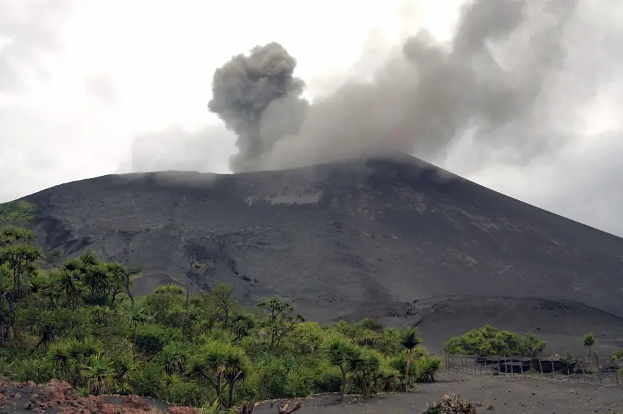
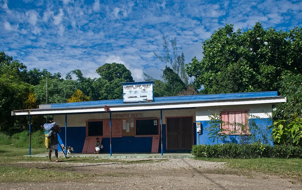
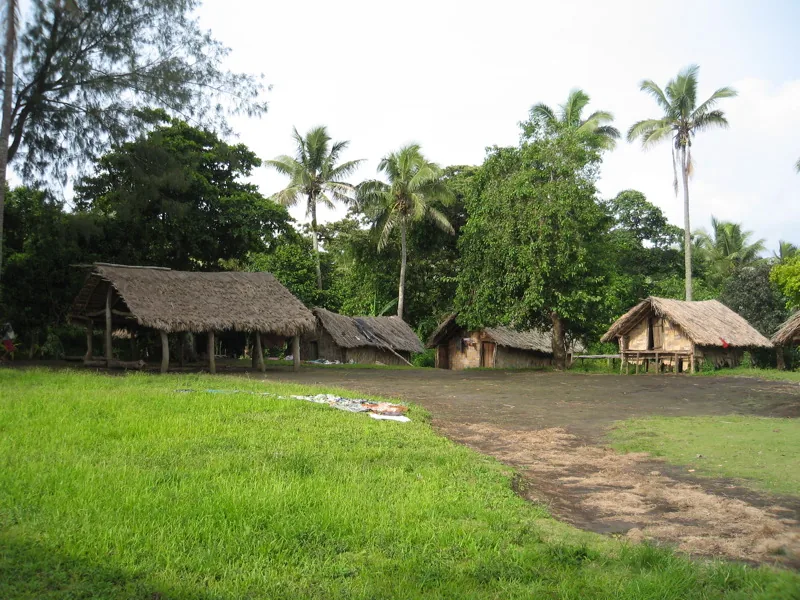
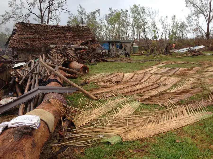
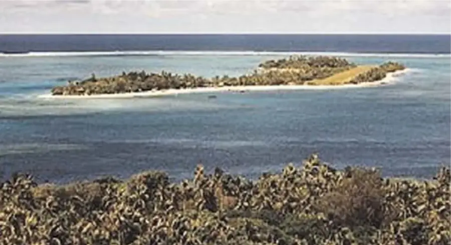
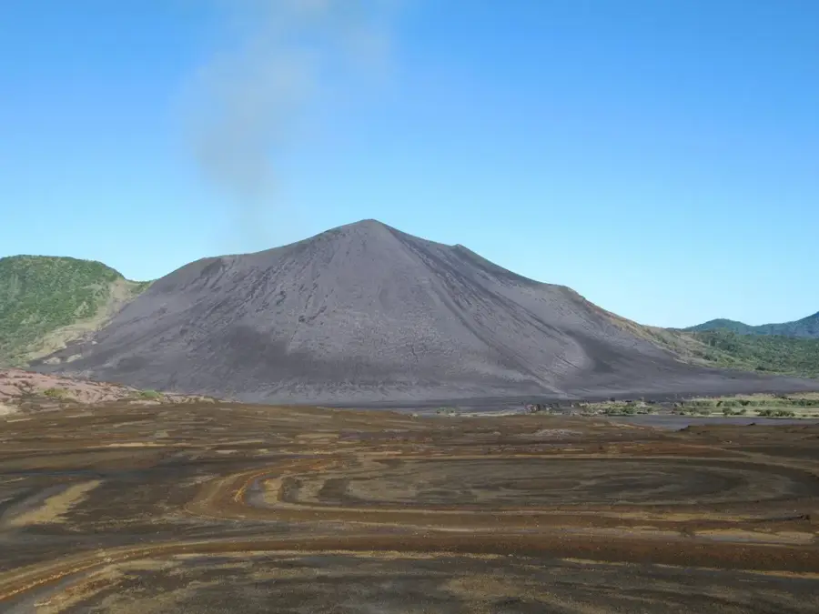
Port Resolution, situated on the southeastern tip of Tanna Island, is a historic natural harbor named by Captain James Cook in 1774 after his ship, HMS Resolution. Cook was the first European to map the bay, lured by the fiery glow of the nearby Mount Yasur volcano, which he also documented extensively. The harbor served as a vital anchorage for subsequent explorers, whalers, and missionaries throughout the 19th century due to its sheltered waters. A unique feature of the area is its geothermal activity, with hot springs bubbling up through the sand at low tide, a phenomenon closely tied to the island's volcanic nature. Historically, Port Resolution was a primary point of contact between Western voyagers and the indigenous people of Tanna, sparking long-lasting cultural exchanges. The local community has preserved much of its traditional 'kastom' way of life, welcoming visitors with a blend of historical pride and Melanesian hospitality. Today, the bay remains a popular destination for international yachts and travelers seeking to explore the intersection of maritime history and active volcanism.
- Location: Vanuatu
- Top sights: Coloured Ground · Lagoon · Lookout and Clay Paint
- Nearby: John Frum Village (Sulphur Bay) (4 km)
Best time to visit & climate
The most pleasant time to visit is Jul–Sep.
| Jan | Feb | Mar | Apr | May | Jun | Jul | Aug | Sep | Oct | Nov | Dec | |
|---|---|---|---|---|---|---|---|---|---|---|---|---|
| Avg °C | 27 | 27 | 27 | 27 | 25 | 24 | 23 | 23 | 23 | 24 | 25 | 26 |
| Rain mm | 175 | 156 | 210 | 185 | 106 | 84 | 67 | 59 | 56 | 86 | 86 | 116 |
📋 Practical info
Geography
Facts
- Captain Cook anchored here for 15 days in August 1774.
- The site provides the best access to the active Mount Yasur volcano.
- Hot springs on the beach are hot enough to boil eggs and vegetables.
- Historically, the bay was a major sandalwood trading post.
- The local yacht club is a famous meeting point for Pacific sailors.
- White sands and volcanic rocks define the harbor's unique coastline.
Explore nearby
Notable places around
Route planner — Car & Motorhome
Where do you start? We build the route here, with stops and country notes along the way.
© OpenStreetMap contributors · OpenRouteService
Sights in the town Port Resolution (5)
Beach
Sandy beach lined with palm trees on the Pacific coast.
Sights nearby
Frequently asked questions
What is Port Resolution?
Is it good for parking?
What is the best season?
What is nearby?
Is it a busy place?
Port Resolution: where is it located?
Port Resolution: what is there to see?
Port Resolution: when is the best time to visit?
Port Resolution: why is it worth visiting?

Nearby cities


History & landmarks

Nature
More places