Plizio Visual Lab
Mount Inrerow Atanainyong

Weather…
Water temperature…
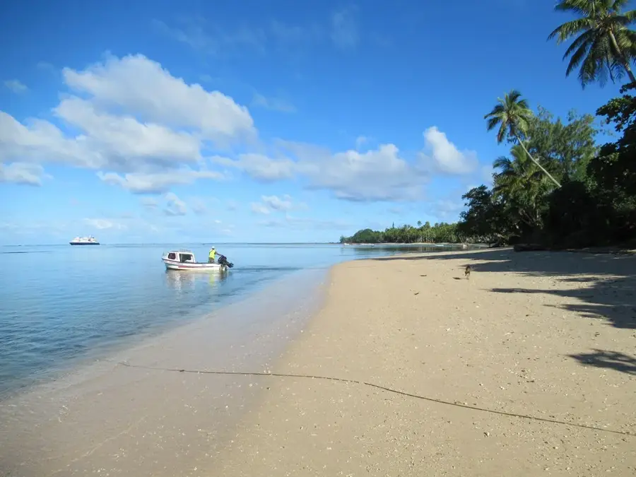
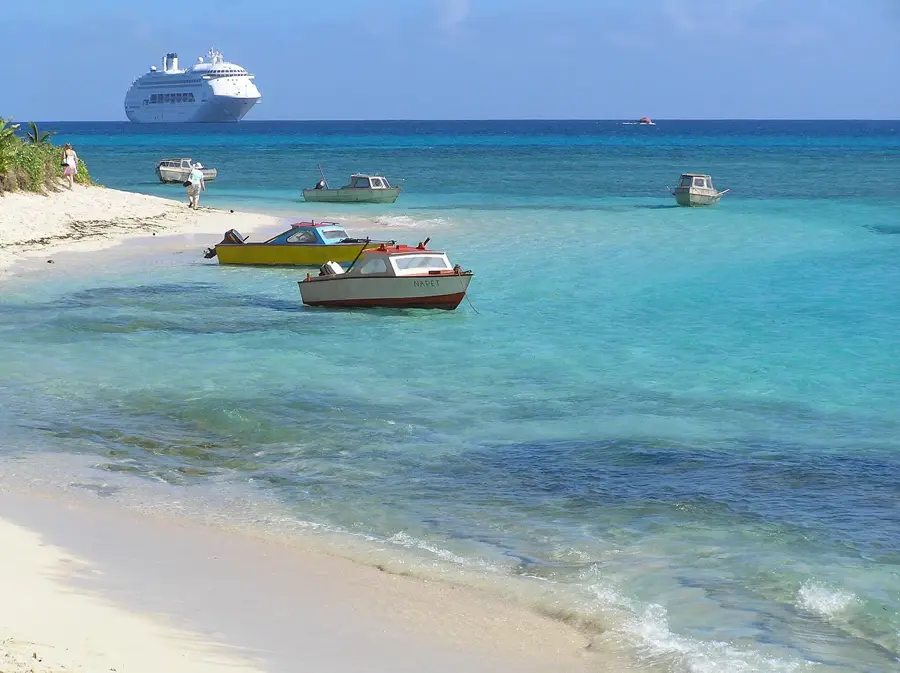
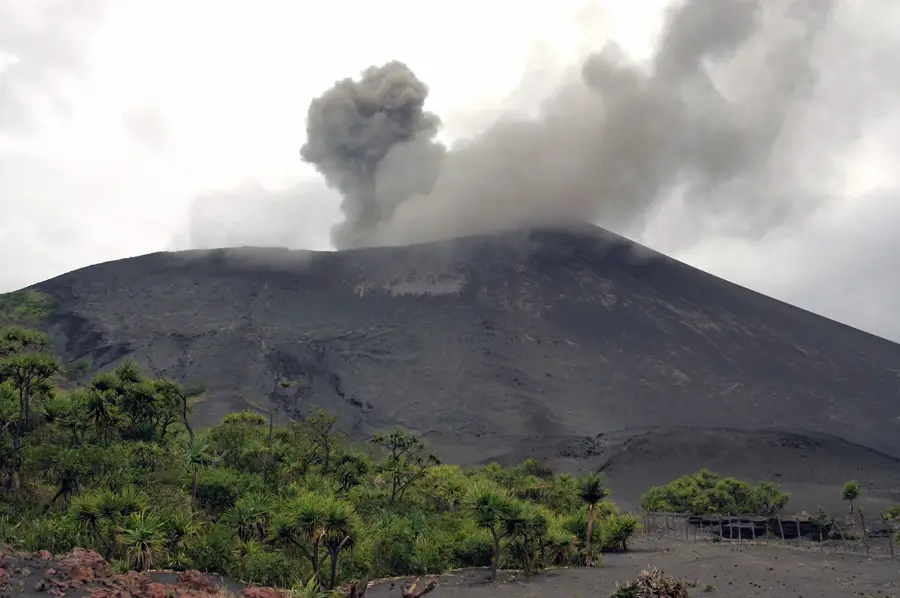
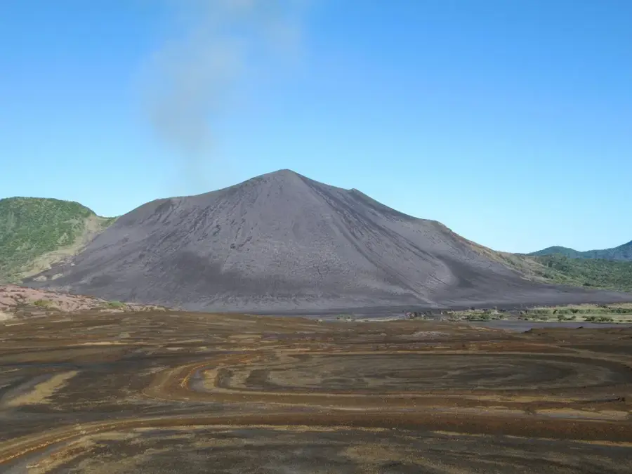
Mount Inrerow Atanainyong is the highest peak on Aneityum island, the southernmost inhabited island of Vanuatu, standing at 852 meters. It forms the center of an extinct volcanic complex that shapes the entire topography of the island. The mountain is renowned for its dense cloud forests, which create a unique moisture zone providing sanctuary to numerous endemic plant species, particularly ferns and orchids. Historically, Aneityum is known for its early Christian missions, and the mountain often served as a navigational landmark for 19th-century sailors. Geologically, the summit consists of heavily weathered basalt, indicating the significant age of its volcanic activity. The slopes are steep and dissected by deep valleys that provide valuable water resources for coastal villages. The climb to the summit is considered challenging but gives an unparalleled view of the southern end of the archipelago and surrounding uninhabited coral islands in clear weather.
- Location: Vanuatu
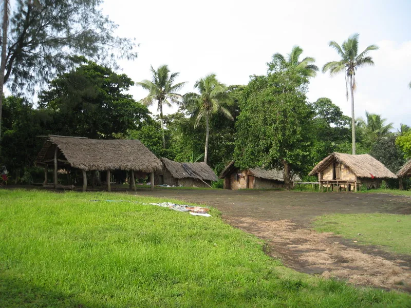
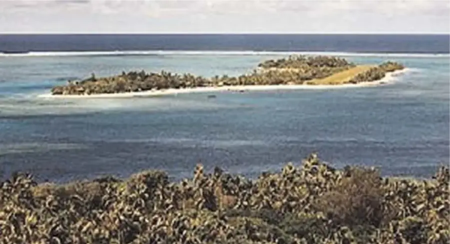
- Nearby: John Frum Village (Sulphur Bay) (83 km)
Best time to visit & climate
The most pleasant time to visit is Jul–Sep.
| Jan | Feb | Mar | Apr | May | Jun | Jul | Aug | Sep | Oct | Nov | Dec | |
|---|---|---|---|---|---|---|---|---|---|---|---|---|
| Avg °C | 27 | 27 | 27 | 27 | 25 | 24 | 23 | 23 | 23 | 24 | 25 | 26 |
| Rain mm | 155 | 126 | 191 | 172 | 97 | 87 | 75 | 59 | 53 | 88 | 83 | 112 |
📋 Practical info
Geography
Facts
- Highest peak of Aneityum at 852 meters
- Part of an extinct volcanic complex
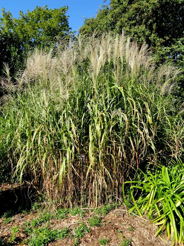
- Location of rare endemic tree ferns
- Annual rainfall exceeds 3,000 mm at the summit
- Rock formations date back to the Pliocene
- Most important navigational landmark in southern Vanuatu
Explore nearby
Notable places around
Route planner — Car & Motorhome
Where do you start? We build the route here, with stops and country notes along the way.
© OpenStreetMap contributors · OpenRouteService
Sights nearby
Frequently asked questions
How is the terrain on the mountain?
Is experience necessary?
Are there guided tours?
Which season is best?
Is photography a highlight?
Mount Inrerow Atanainyong: where is it located?
Mount Inrerow Atanainyong: when is the best time to visit?
Mount Inrerow Atanainyong: why is it worth visiting?

Nearby cities


History & landmarks

Nature
More places