Plizio Visual Lab
Futuna Highlands
Weather…
Water temperature…
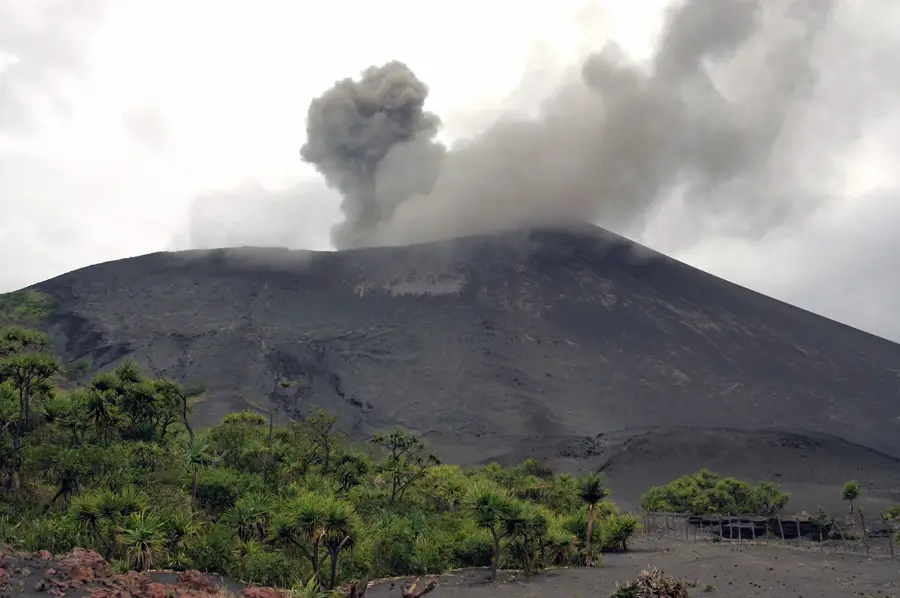
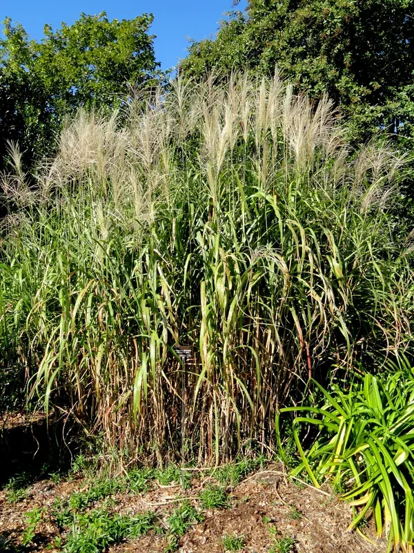
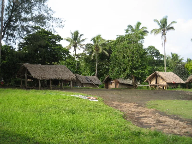
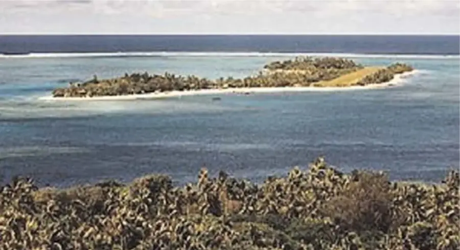
The Futuna Highlands mark the easternmost point of Vanuatu on the isolated island of Futuna, featuring a prominent plateau-like relief. Geologically, this region is distinct from the western islands as it consists of a mix of volcanic foundations and tectonically uplifted coral limestone. The highlands reach their peak at Mount Herald, standing 666 meters (2,185 feet) above sea level, with terrain that often drops steeply into massive sea cliffs. Due to its exposed position in the open Pacific, the highlands are constantly swept by trade winds, resulting in a unique landscape of grasslands and wind-resistant forest patches. This isolation has fostered the growth of endemic plant species that are found exclusively on this single island. Local inhabitants utilize the highland areas for agriculture, strategically choosing different soil patches for various traditional crops. Historically, the central plateau served as a natural defensive position and provided safety from the powerful ocean swells and storm surges. The Futuna Highlands are a symbol of the remote beauty of Vanuatu's outer islands, preserving a way of life deeply integrated with its unique topography.
- Location: Vanuatu
- Nearby: John Frum Village (Sulphur Bay) (85 km)
Best time to visit & climate
The most pleasant time to visit is Jul–Sep.
| Jan | Feb | Mar | Apr | May | Jun | Jul | Aug | Sep | Oct | Nov | Dec | |
|---|---|---|---|---|---|---|---|---|---|---|---|---|
| Avg °C | 27 | 28 | 27 | 27 | 25 | 24 | 23 | 23 | 23 | 24 | 25 | 26 |
| Rain mm | 171 | 140 | 199 | 183 | 99 | 83 | 73 | 56 | 56 | 97 | 87 | 120 |
📋 Practical info
Geography
Facts
- Mount Herald is the highest peak in the highlands at 666 meters.
- Futuna is the easternmost inhabited island in the Vanuatu archipelago.
- The highlands are partially composed of uplifted fossilized coral reefs.
- The island covers a total land area of only about 11 square kilometers.
- A lack of natural harbors makes accessing the highlands extremely difficult.
- The local vegetation is highly adapted to salt-laden Pacific trade winds.
Explore nearby
Notable places around
Route planner — Car & Motorhome
Where do you start? We build the route here, with stops and country notes along the way.
© OpenStreetMap contributors · OpenRouteService
Sights in the town Futuna Highlands (1)
Sights nearby
Frequently asked questions
How do you reach the Futuna Highlands?
Is it a typical tourist destination?
What is the best season for Futuna?
Is there a mobile network there?
What must be planned before departure?
Futuna Highlands: where is it located?
Futuna Highlands: when is the best time to visit?
Futuna Highlands: why is it worth visiting?

Nearby cities


History & landmarks


Nature
More places