Plizio Visual Lab
Mount Melen
Weather…
Water temperature…
Mount Melen is the highest peak in Vanuatu, reaching an elevation of 1,879 meters (6,165 feet) on the island of Espiritu Santo. Part of the island's central volcanic spine, the mountain is geologically ancient and currently considered extinct, showing no signs of modern eruptive activity. Its rugged slopes are draped in dense, pristine tropical rainforests that transition into unique cloud forests at higher altitudes due to constant moisture. This isolated environment provides a sanctuary for a wealth of endemic plant and bird species that are found nowhere else on Earth. Historically, the mountain has functioned as a primary landmark for indigenous navigation and remains a cornerstone of the island's hydrology, serving as the source for several major river systems. Reaching the summit is a formidable challenge for researchers and explorers alike, as the terrain is characterized by steep ridges, a lack of established trails, and persistent rainfall. Today, Mount Melen stands as a critical area for biodiversity conservation within the South Pacific, representing one of the most intact montane ecosystems in the region.
- Location: Vanuatu
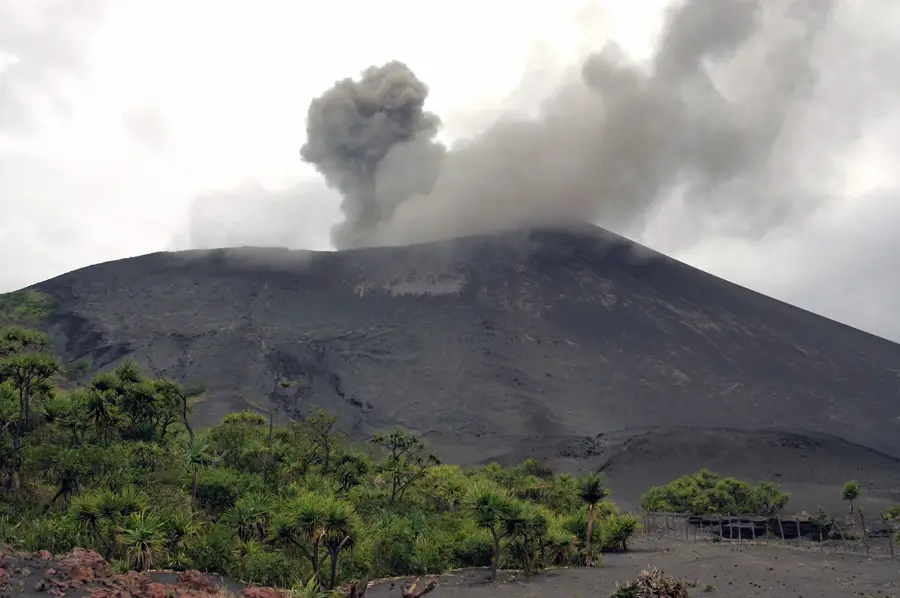
- Top sights: Hot Spring · Mount Yasur · Mount Yasur caldera
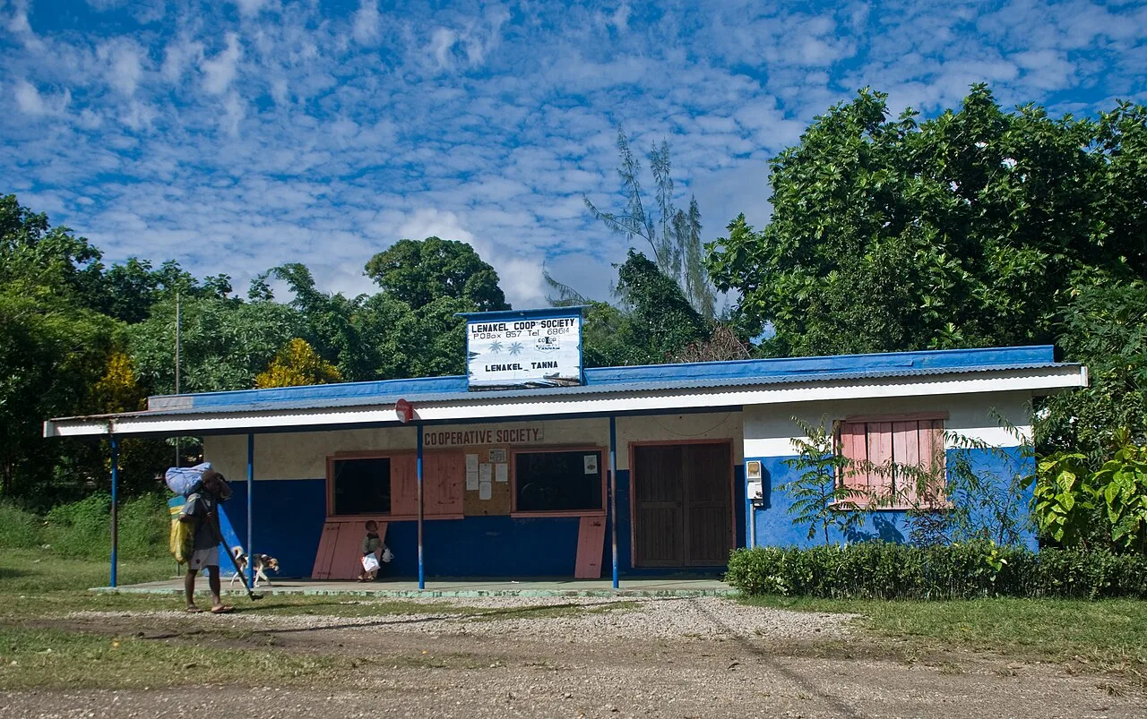
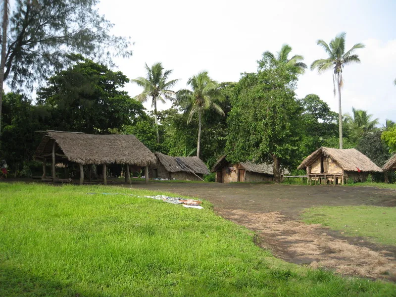
- Nearby: Louniel Traditional Site (8 km)
Best time to visit & climate
The most pleasant time to visit is Jul–Sep.
| Jan | Feb | Mar | Apr | May | Jun | Jul | Aug | Sep | Oct | Nov | Dec | |
|---|---|---|---|---|---|---|---|---|---|---|---|---|
| Avg °C | 27 | 27 | 27 | 27 | 25 | 24 | 23 | 23 | 23 | 24 | 25 | 26 |
| Rain mm | 175 | 156 | 210 | 185 | 106 | 84 | 67 | 59 | 56 | 86 | 86 | 116 |
📋 Practical info
Geography
Facts
- At 1,879 meters, it is the highest elevation in the entire Vanuatu archipelago.
- The peak is located on Espiritu Santo, the largest island by land area in the country.
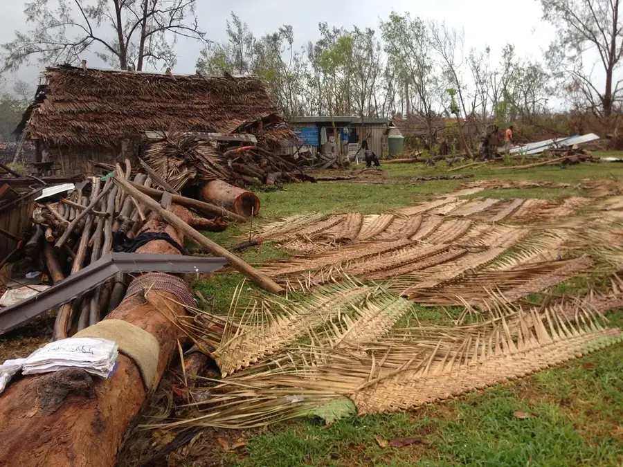
- Annual rainfall on its slopes frequently exceeds 5,000 mm (200 inches).
- It supports high-altitude cloud forests with many endemic plant species.
- The mountain is situated within the rugged Cumberland Peninsula region.
- There are no permanent human settlements above the 1,000-meter mark.
Explore nearby
Notable places around
Route planner — Car & Motorhome
Where do you start? We build the route here, with stops and country notes along the way.
© OpenStreetMap contributors · OpenRouteService
Frequently asked questions
Is Mount Melen suitable for hiking?
Which months are best for a visit?
Can you camp there?
Is drinking water available nearby?
Is the mountain family-friendly?
Mount Melen: where is it located?
Mount Melen: what is there to see?
Mount Melen: when is the best time to visit?
Mount Melen: why is it worth visiting?

Nearby cities


History & landmarks


Nature
More places