Plizio Visual Lab
Erromango Cloud Forest

Weather…
Water temperature…
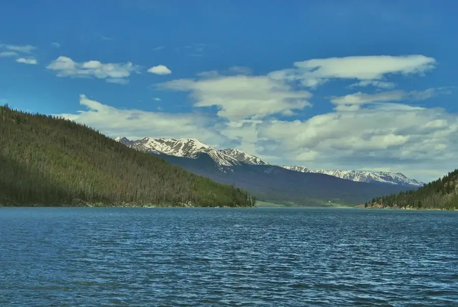
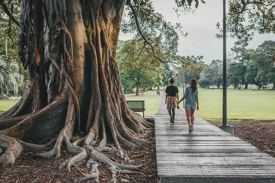
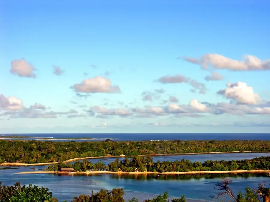
The cloud forest on Erromango Island is a unique highland ecosystem found on peak regions exceeding 600 meters in elevation. These montane forests are frequently shrouded in mist, creating an environment with an extraordinary density of epiphytes, mosses, and ferns that coat the entire forest structure. Botanically, the area is significant for its endemic tree ferns and rare orchid species that can only survive in this cool, moisture-saturated microclimate. Historically, Erromango was famously known as 'Sandalwood Island,' which led to massive deforestation in lower elevations during the 19th century; however, the cloud forests remained largely intact due to their rugged inaccessibility. Today, these forests are essential for the island's water security, as they capture atmospheric moisture through horizontal precipitation to feed local streams. The region also provides a critical habitat for rare birds like the Vanuatu imperial pigeon. Conservation efforts are currently aimed at protecting the cloud forest from invasive species and the long-term threats posed by shifting cloud bases due to climate change.
- Location: Vanuatu
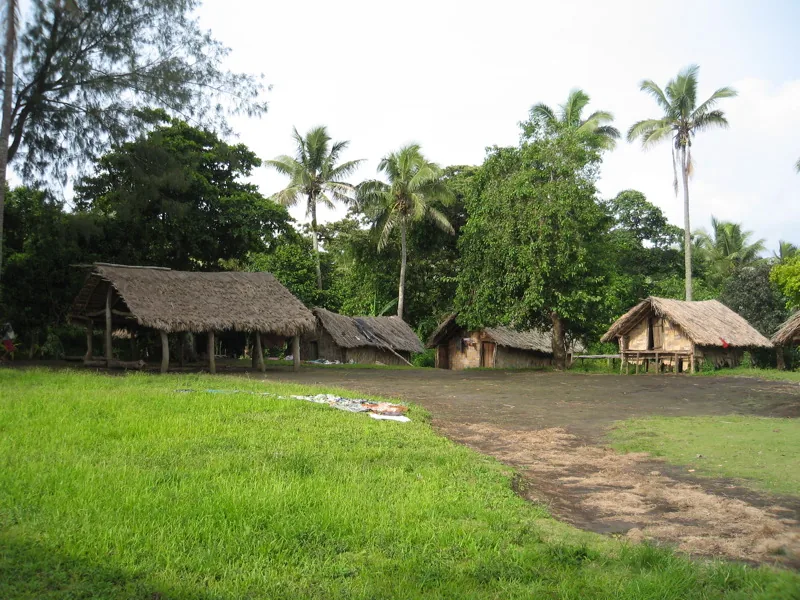
- Nearby: Louniel Traditional Site (73 km)
Best time to visit & climate
The most pleasant time to visit is Jul–Sep.
| Jan | Feb | Mar | Apr | May | Jun | Jul | Aug | Sep | Oct | Nov | Dec | |
|---|---|---|---|---|---|---|---|---|---|---|---|---|
| Avg °C | 27 | 28 | 28 | 27 | 26 | 25 | 24 | 23 | 24 | 25 | 25 | 26 |
| Rain mm | 180 | 157 | 229 | 189 | 103 | 87 | 64 | 57 | 52 | 82 | 89 | 122 |
📋 Practical info
Geography
Facts
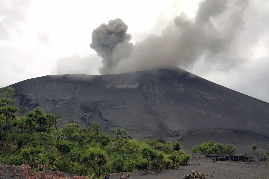
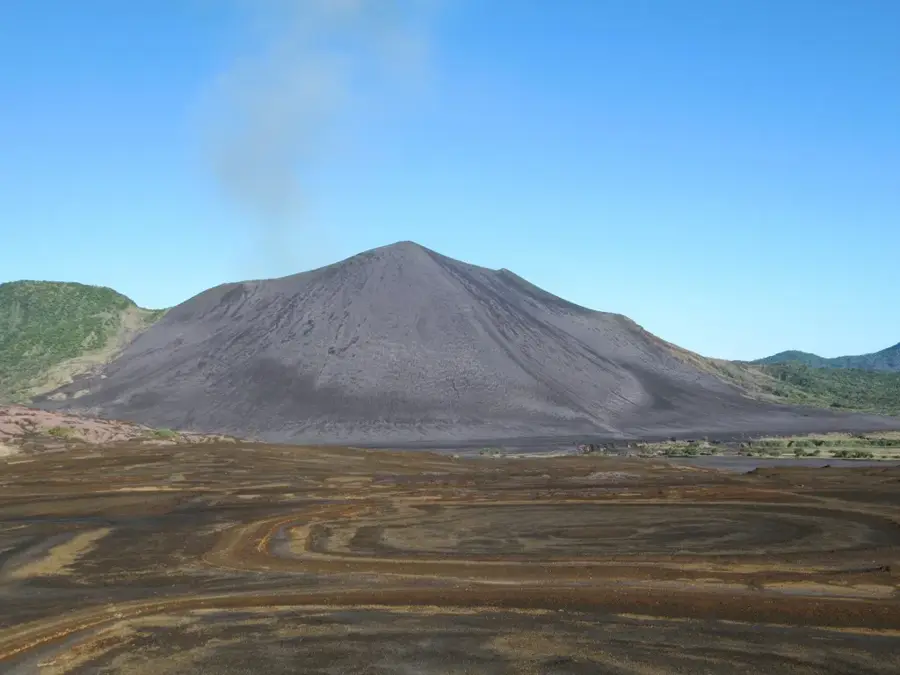
- The highest point on Erromango, Mount Santop, reaches 886 meters.
- Cloud forests can strip up to 20% more water from the air than standard rainforests.
- Vanuatu is home to around 80 orchid species, many found in these highlands.
- Relative humidity in the cloud forest zone is consistently near 100%.
- Endemic Kauri trees are often found in the transition zones to the cloud forest.
- Erromango is the fourth largest island in the Vanuatu archipelago.
Explore nearby
Notable places around
Route planner — Car & Motorhome
Where do you start? We build the route here, with stops and country notes along the way.
© OpenStreetMap contributors · OpenRouteService
Sights nearby
Frequently asked questions
Is the cloud forest tiring to hike?
Do I need a local guide?
What should I wear?
How is the weather?
Are there viewpoints there?
Erromango Cloud Forest: where is it located?
Erromango Cloud Forest: when is the best time to visit?
Erromango Cloud Forest: why is it worth visiting?

Nearby cities


History & landmarks

Nature
More places