Plizio Visual Lab
Malo Peak
Weather…
Water temperature…
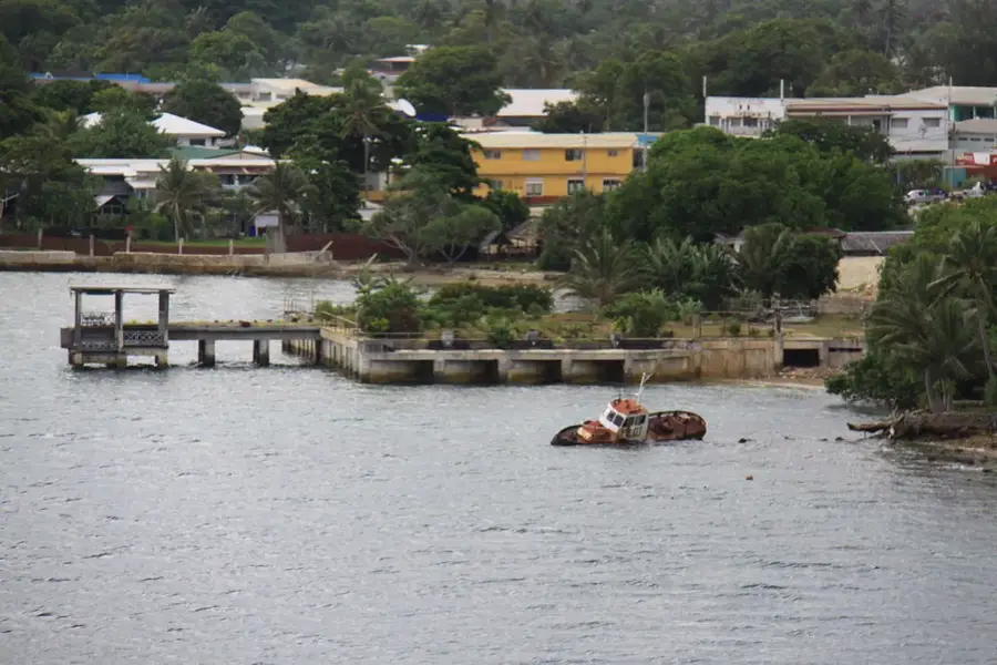
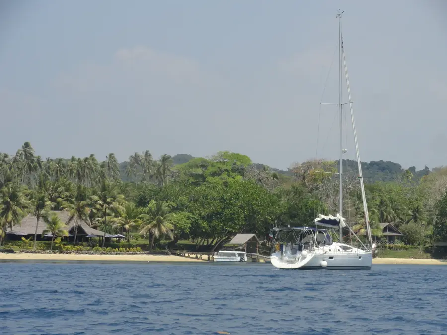
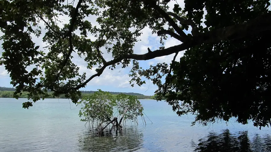
Malo Peak is the highest point on Malo Island, located just south of Espiritu Santo, and serves as a prominent geographic feature in the northern part of the country. Reaching an elevation of approximately 326 meters (1,070 feet), the peak stands out significantly against the island's otherwise flatter landscape of uplifted coral plateaus. Geologically, Malo Peak is a remnant of ancient volcanic activity that forms the island's core, preceding the later accumulation of limestone layers. The peak is draped in dense primary tropical forest, providing an important refuge for indigenous flora and fauna despite its relatively modest height. From the summit, one can obtain sweeping views across the Segond Channel to the mountains of Espiritu Santo. Historically, Malo Island was a significant hub for the Lapita culture, and the peak likely served as a vital navigational landmark for early seafaring peoples. The fertile soils surrounding the peak support productive agriculture in the lower elevations, particularly copra and cocoa plantations. Malo Peak is a quiet but ecologically important landmark that highlights the diverse geological origins of the Vanuatu islands.
- Location: Vanuatu
- Nearby: Leviamp (51 km)
Best time to visit & climate
The most pleasant time to visit is Jul–Sep.
| Jan | Feb | Mar | Apr | May | Jun | Jul | Aug | Sep | Oct | Nov | Dec | |
|---|---|---|---|---|---|---|---|---|---|---|---|---|
| Avg °C | 27 | 27 | 27 | 27 | 26 | 25 | 24 | 24 | 25 | 26 | 26 | 27 |
| Rain mm | 272 | 274 | 271 | 272 | 183 | 162 | 116 | 105 | 109 | 151 | 175 | 170 |
📋 Practical info
Geography
Facts
- The peak reaches an elevation of approximately 326 meters above sea level.
- Malo Island lies just 3 kilometers south of the larger Espiritu Santo.
- Geologically, the peak is the volcanic core of an otherwise limestone island.
- The area around Malo Peak is famous for its ancient Lapita pottery finds.
- The summit offers a strategic view over the busy Segond Channel.
- The mountain is covered in dense forest that is home to several rare pigeon species.
Explore nearby
Notable places around
Route planner — Car & Motorhome
Where do you start? We build the route here, with stops and country notes along the way.
© OpenStreetMap contributors · OpenRouteService
Sights in the town Malo Peak (1)
Sights nearby
Frequently asked questions
Is Malo suitable for day trips?
What is the path to the summit like?
Do I have to pay an entrance fee?
Is photography allowed?
When is the best time for visibility?
Malo Peak: where is it located?
Malo Peak: when is the best time to visit?
Malo Peak: why is it worth visiting?

Nearby cities


History & landmarks


Nature
More places