Plizio Visual Lab
Nuratau Mountains
Weather…
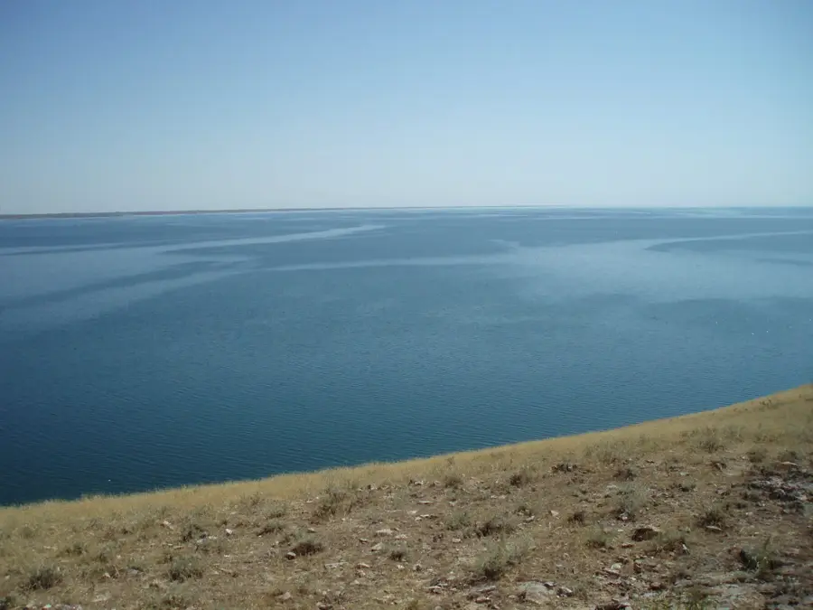
Water temperature…
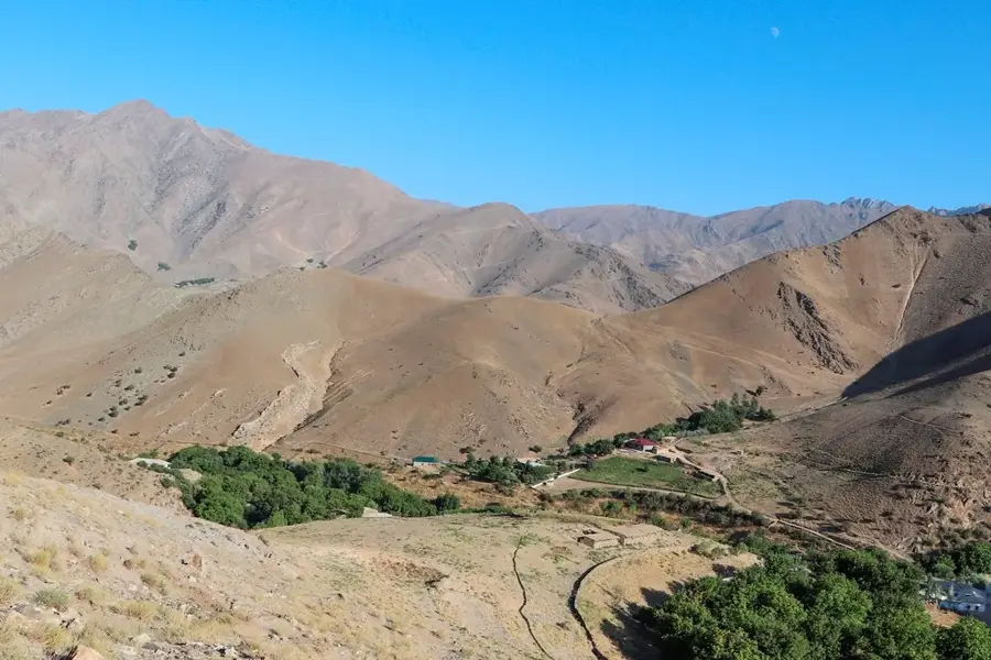
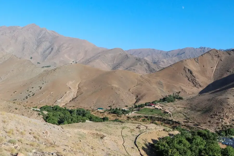
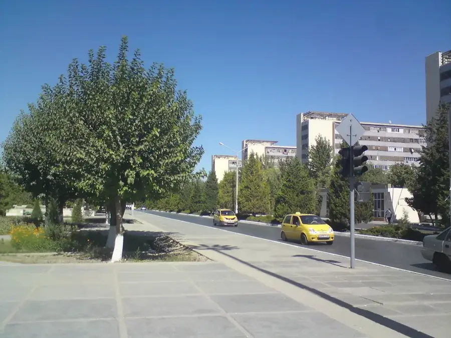
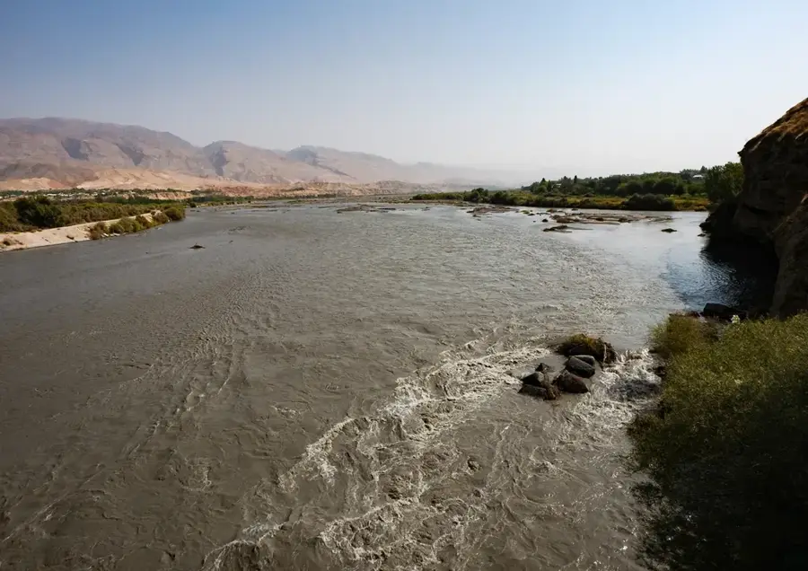
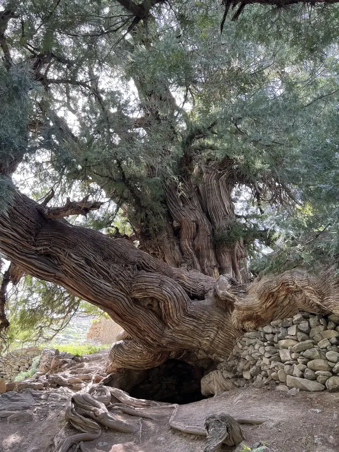
The Nuratau Mountains stretch across central Uzbekistan for approximately 170 kilometers, serving as a critical climatic barrier on the edge of the Kyzylkum Desert. The highest point is Zargaltau Peak, reaching an elevation of 2,169 meters above sea level. Geologically, the range is primarily composed of Paleozoic schists and limestones, which have formed a rugged topography characterized by deep gorges and steep slopes. The area is home to the Nuratau State Nature Reserve, established to protect the endangered Severtzov's mountain sheep and ancient walnut groves. Historically, the foothills were situated along the northern routes of the Silk Road, where mountain springs sustained vital oasis settlements for traveling caravans. Today, the range is a prominent destination for ecotourism, offering a glimpse into traditional mountain village life and hosting a diverse array of flora including numerous endemic plant species.
- Location: Uzbekistan
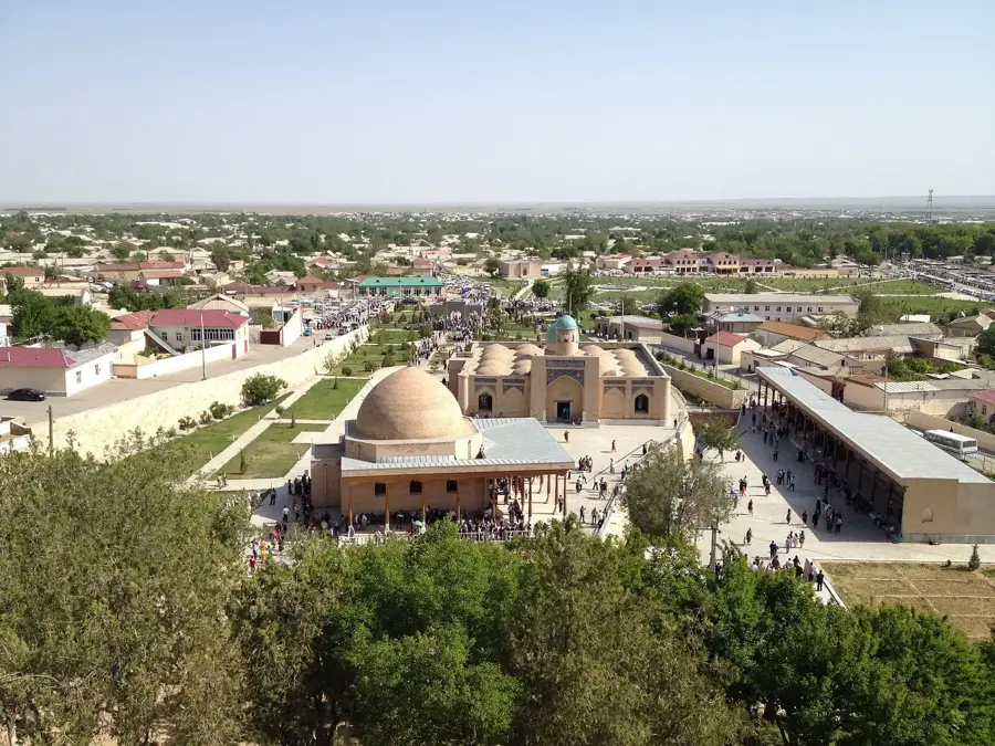
- Top sights: Gadaykhana · Chashma Buloq · Xonaqoh
- Nearby: Sentyab (24 km)
Best time to visit & climate
The most pleasant time to visit is May, Aug, Sep.
| Jan | Feb | Mar | Apr | May | Jun | Jul | Aug | Sep | Oct | Nov | Dec | |
|---|---|---|---|---|---|---|---|---|---|---|---|---|
| Avg °C | -1 | 0 | 7 | 13 | 20 | 25 | 27 | 25 | 19 | 12 | 4 | -1 |
| Rain mm | 27 | 41 | 44 | 39 | 21 | 5 | 2 | 1 | 1 | 10 | 27 | 24 |
📋 Practical info
Geography
Facts
- The peak of Zargaltau stands at 2,169 meters high.
- The range spans a total length of 170 kilometers.
- Nuratau Nature Reserve was officially founded in 1975.
- It protects the majority of the world's Severtzov sheep population.
- Geological composition dates back to the Paleozoic era.
- Contains several oriental arborvitae trees over 1,000 years old.
Explore nearby
Notable places around
Route planner — Car & Motorhome
Where do you start? We build the route here, with stops and country notes along the way.
© OpenStreetMap contributors · OpenRouteService
Sights in the town Nuratau Mountains (3)
Sights nearby
Frequently asked questions
Are the Nuratau Mountains suitable for hiking?
Is there water there?
Can you camp there?
When is the best time to visit?
Is the mountain suitable for children?
Nuratau Mountains: where is it located?
Nuratau Mountains: what is there to see?
Nuratau Mountains: when is the best time to visit?
Nuratau Mountains: why is it worth visiting?

Nearby cities

History & landmarks
Nature
More places