Plizio Visual Lab
Cuareim River
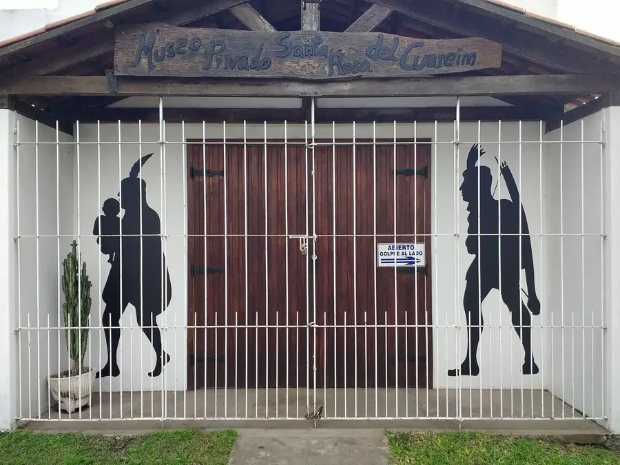
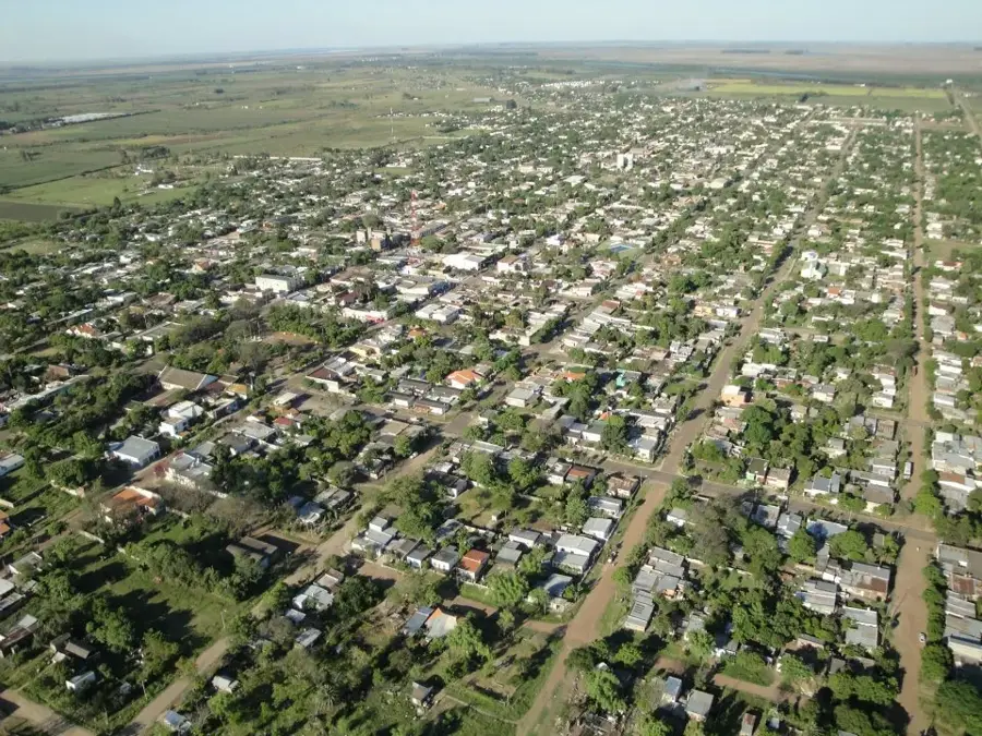
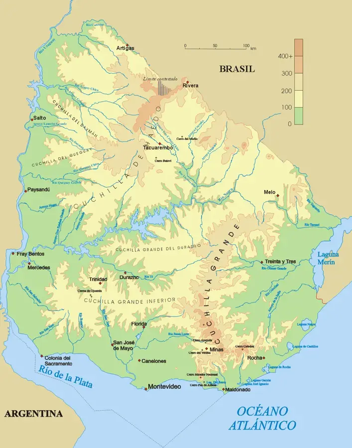
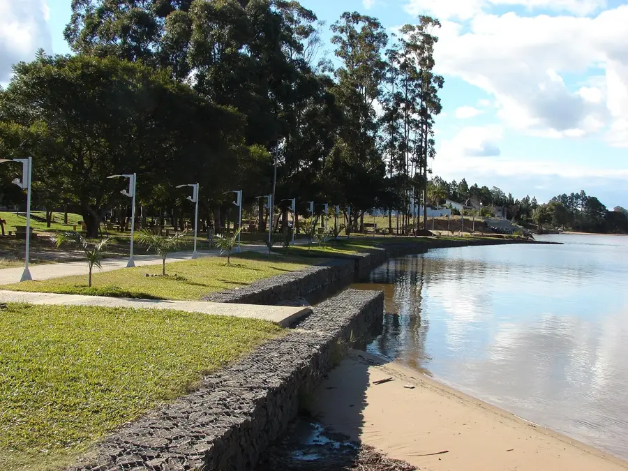
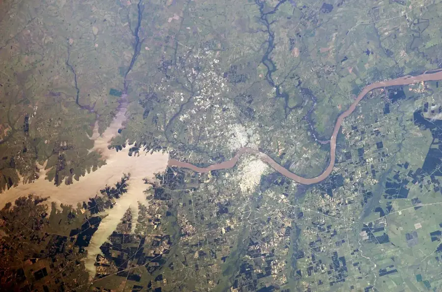
The Cuareim River, known as Rio Quaraí in Portuguese, is a significant international river that forms the entire border between the Uruguayan department of Artigas and the Brazilian state of Rio Grande do Sul. It rises in the Coxilha de Santana and flows west for 351 kilometers until its confluence with the Uruguay River. Its dual name reflects its bi-national importance. The basin is crucial for the local economy, which is based primarily on rice cultivation and cattle ranching. The river is the scene of the 'Carnaval de Artigas', a unique blend of Uruguayan and Brazilian carnival traditions, which attracts thousands of tourists to the border cities of Artigas and Quaraí each year. This cultural fusion is a symbol of the close relationship between the two communities, linked by the Concordia Bridge across the river. The river's water levels can fluctuate significantly, leading to floods during rainy seasons.
- Location: Uruguay
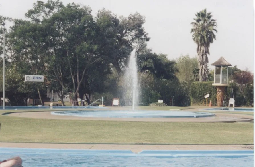
- Top sights: Playas Sur de Monte Caseros · Parque Acuático Termal Monte Caseros · Estacion del Este
- Nearby: Tomás Gomensoro (21 km)
Best time to visit & climate
The most pleasant time to visit is Mar, Apr, Nov.
| Jan | Feb | Mar | Apr | May | Jun | Jul | Aug | Sep | Oct | Nov | Dec | |
|---|---|---|---|---|---|---|---|---|---|---|---|---|
| Avg °C | 27 | 26 | 23 | 20 | 15 | 13 | 12 | 14 | 16 | 19 | 22 | 25 |
| Rain mm | 137 | 137 | 117 | 161 | 118 | 75 | 59 | 74 | 102 | 155 | 152 | 156 |
📋 Practical info
Geography
Facts
- The river forms the border between Uruguay and Brazil.
- It is 351 kilometers long.
- In Brazil, it is known as the Rio Quaraí.
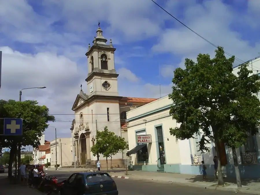
- The cities of Artigas (Uruguay) and Quaraí (Brazil) lie on its banks.
- The Concordia Bridge connects the two countries across the river.
- It is the scene of the famous bi-national Carnival of Artigas.
Explore nearby
Notable places around
Route planner — Car & Motorhome
Where do you start? We build the route here, with stops and country notes along the way.
© OpenStreetMap contributors · OpenRouteService
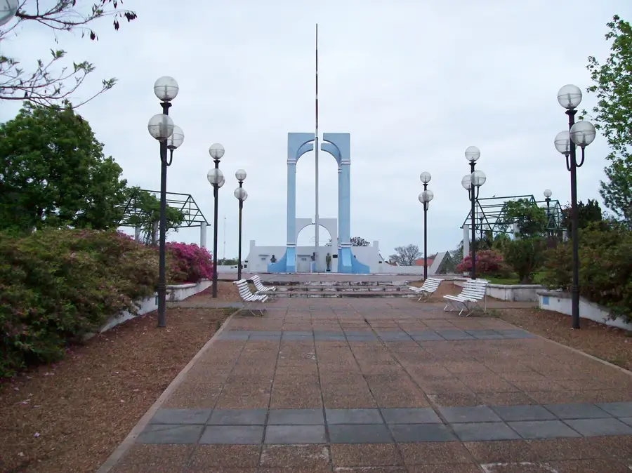
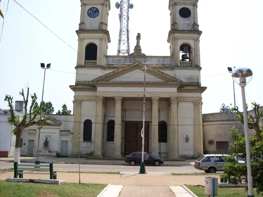
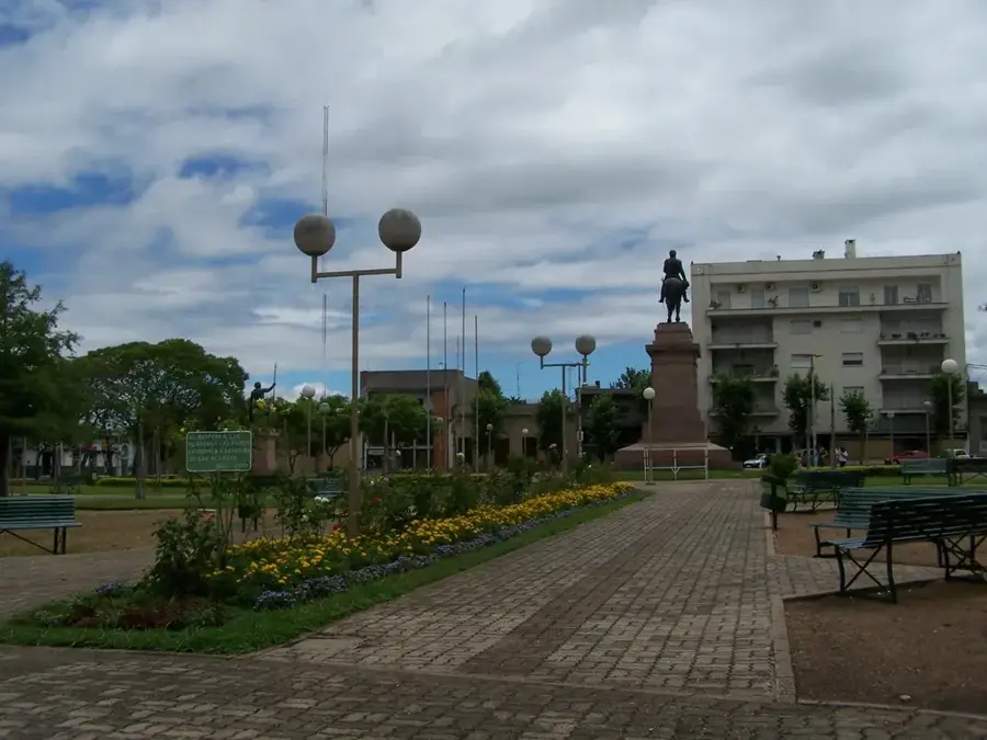
Sights in the town Cuareim River (6)
Sights nearby
Frequently asked questions
Does the Río Cuareim border other countries?
Is the area well-developed for tourism?
Can you fish in the river?
When is the best time to travel?
What makes the area special?
Cuareim River: where is it located?
Cuareim River: what is there to see?
Cuareim River: when is the best time to visit?
Cuareim River: why is it worth visiting?

Nearby cities