Plizio Visual Lab
Bella Unión
ℹ️Practical info — Bella Unión
▾
🌤 Weather — 5 days
📍 Nearby
Sights nearby
💡 Tips
- Take advantage of the tri-border location; you can easily take a bus or boat across to Brazil or Argentina, but don't forget your passport.
- Summer afternoons are intensely hot. Follow the local custom of taking a siesta, as many shops will close from midday until late afternoon.
- While the Uruguayan Peso is official, Brazilian Reais and Argentine Pesos are often accepted by local merchants.
- Local intercity buses from the main terminal are the most reliable way to explore the rest of the Artigas department.
🍽 Food
Visit the parrilladas (steakhouses) near the town center for traditional Uruguayan wood-fired barbecue.
Try this massive, traditional Uruguayan beef sandwich at local cafes and fast-food joints.
Look for eateries near the river serving fresh Surubí or Dorado when in season.
🛍 Shopping · 🧘 Quiet spots
The city has several duty-free shops catering to border crossers, offering imported goods and perfumes.
Buy locally crafted gourds (mates) and bombillas (metal straws) in specialized artisan shops.
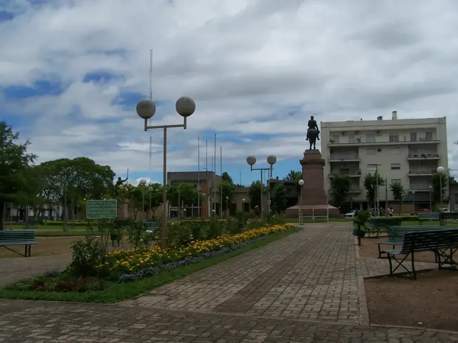
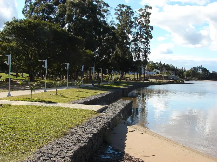
A green park by the river, serving as the first-rate spot for locals to gather, drink mate, and relax.
Walk towards the point where the Uruguay and Cuareim rivers meet for peaceful border views.
The central town square is calm during the afternoon siesta and beautifully shaded.
Water temperature…
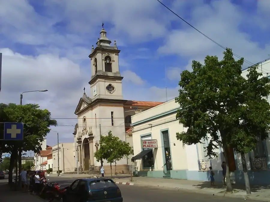
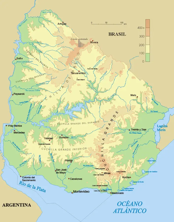
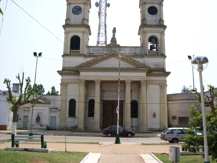
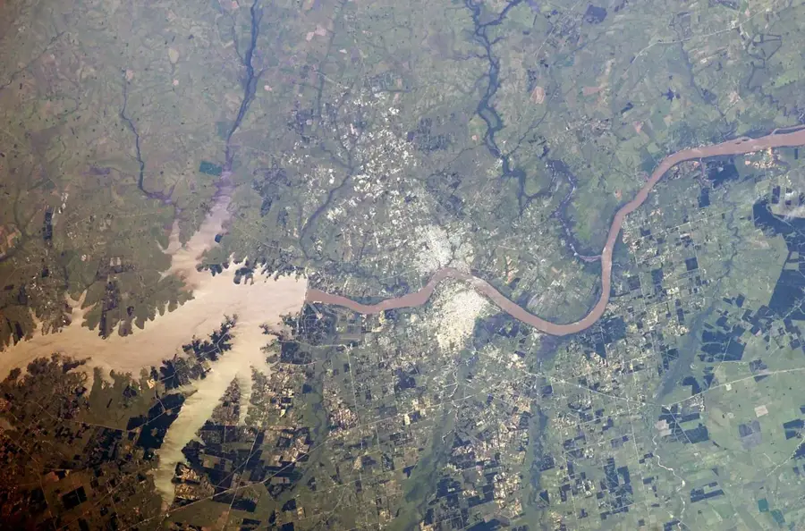
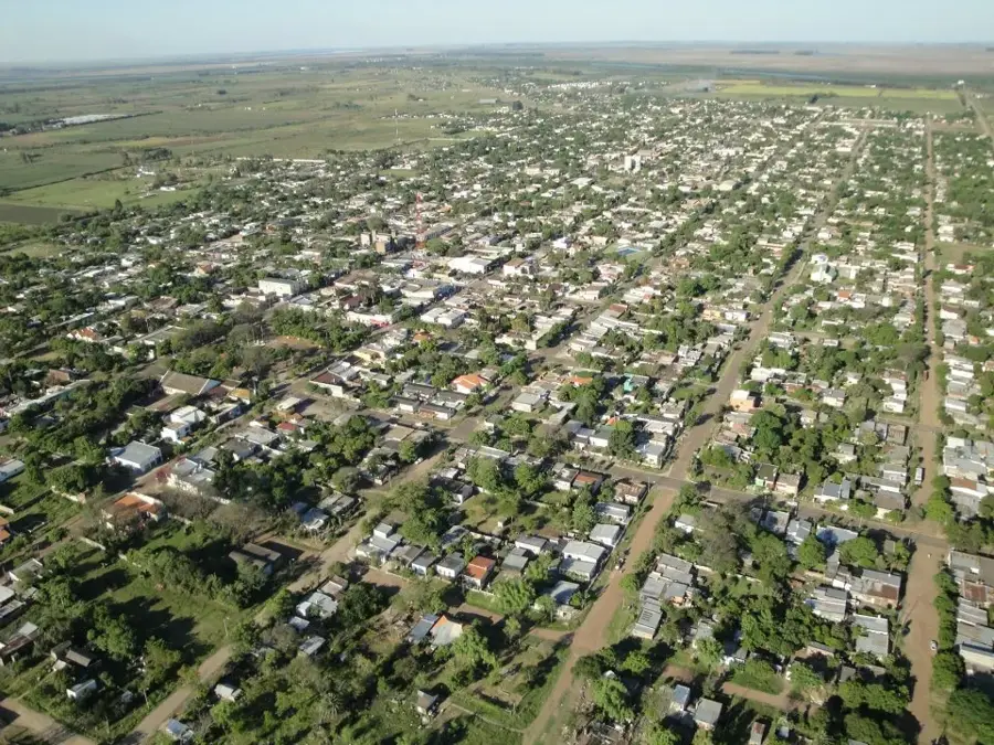
Bella Unión is located in the Artigas Department, at a strategic point where the borders of Uruguay, Brazil, and Argentina meet. The city sits on the bank of the Uruguay River, which separates it from Argentina, and near the mouth of the Cuareim River, which forms the border with Brazil. It was originally founded in 1829 by Fructuoso Rivera but underwent several refoundings throughout its history. Its name, 'Beautiful Union,' is said to reflect the desired harmony in this tri-border region. Economically, Bella Unión is a significant agricultural center, particularly known for the cultivation of sugarcane, which is processed at the local mill. In recent decades, viticulture has also become an important sector with the production of Tannat wines. The city is connected by a bridge to the Argentinian city of Monte Caseros, facilitating trade and social exchange. With a population of around 12,000, the city has a distinct identity shaped by its unique geographical position and its agricultural economy.
- Location: Uruguay
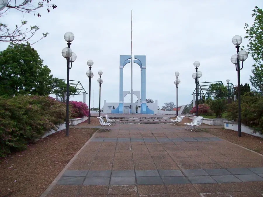
- Top sights: Casa de Turismo · La Cachuera
- Nearby: Tomás Gomensoro (21 km)
- Population: ~12.200 (2021)
Best time to visit & climate
The most pleasant time to visit is Mar, Apr, Nov.
| Jan | Feb | Mar | Apr | May | Jun | Jul | Aug | Sep | Oct | Nov | Dec | |
|---|---|---|---|---|---|---|---|---|---|---|---|---|
| Avg °C | 27 | 26 | 24 | 20 | 16 | 13 | 13 | 14 | 16 | 20 | 23 | 25 |
| Rain mm | 140 | 125 | 120 | 155 | 115 | 72 | 58 | 69 | 95 | 158 | 149 | 163 |
Geography
Facts
- Originally founded in 1829.
- The population is approximately 12,200 (2011 census).
- Located at the triple frontier of Uruguay, Brazil, and Argentina.
- The main producer of sugarcane in Uruguay.
- Its name means 'Beautiful Union'.
- Separated from Argentina by the Uruguay River.
Explore nearby
Notable places around
Route planner — Car & Motorhome
Where do you start? We build the route here, with stops and country notes along the way.
© OpenStreetMap contributors · OpenRouteService
Sights in the town Bella Unión (2)
Frequently asked questions
What characterizes Bella Unión?
Is it an important place for agriculture?
Is it easy to cross the border to Brazil?
What is the climate like?
What is the best season to visit?
Bella Unión: where is it located?
Bella Unión: what is there to see?
Bella Unión: when is the best time to visit?
Bella Unión: why is it worth visiting?

Nearby cities