Plizio Visual Lab
Al Hajar Mountains
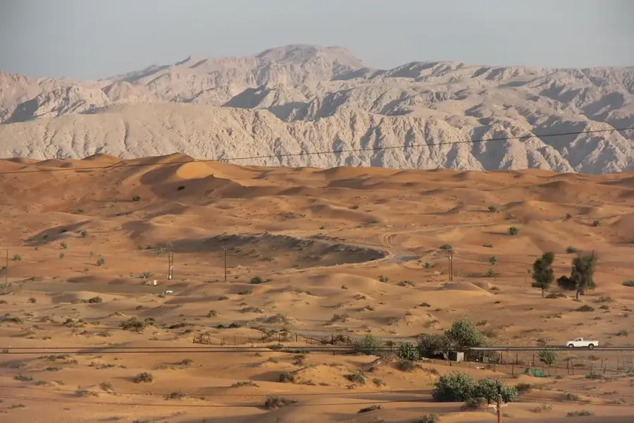
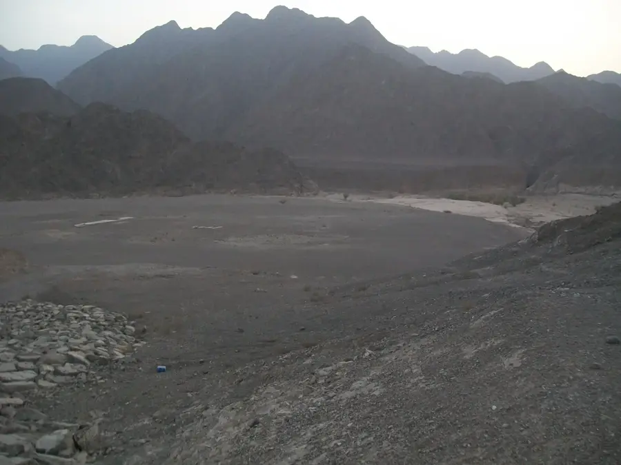
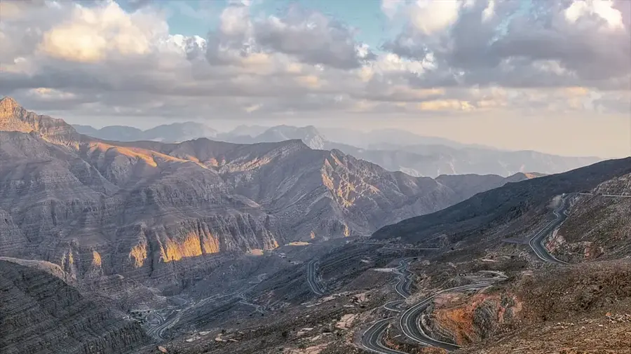
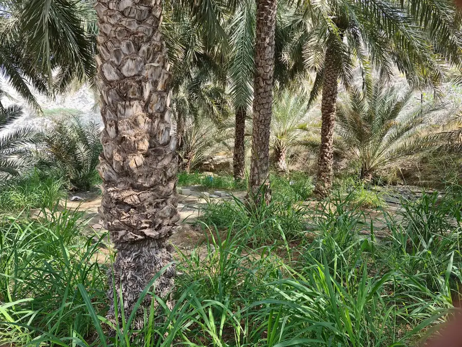
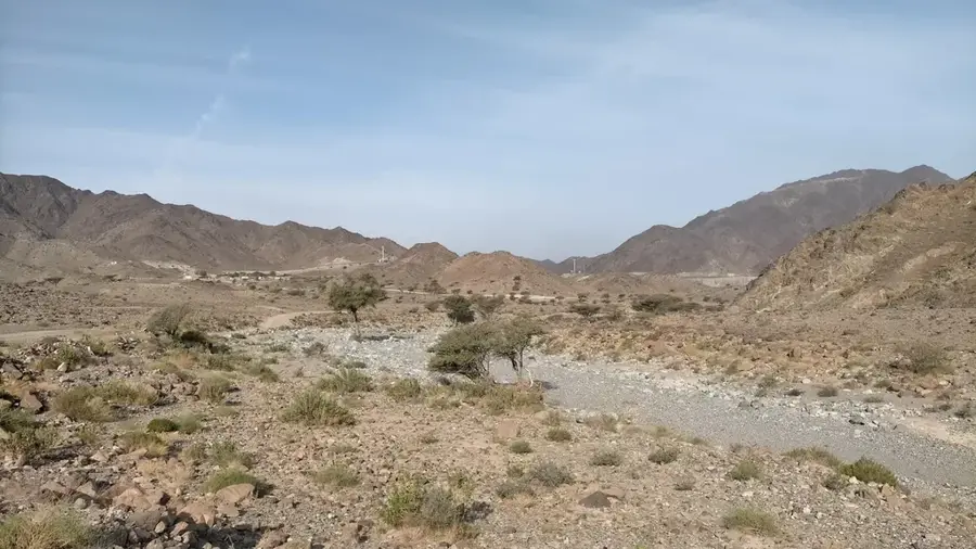
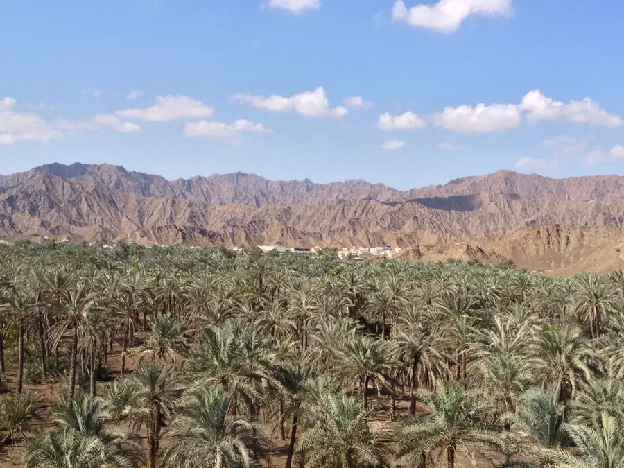
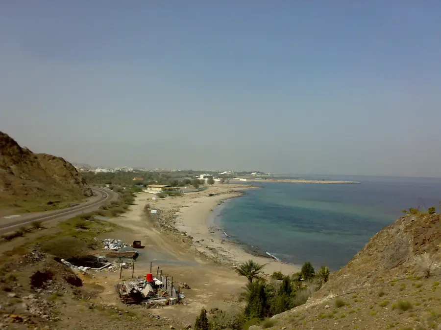
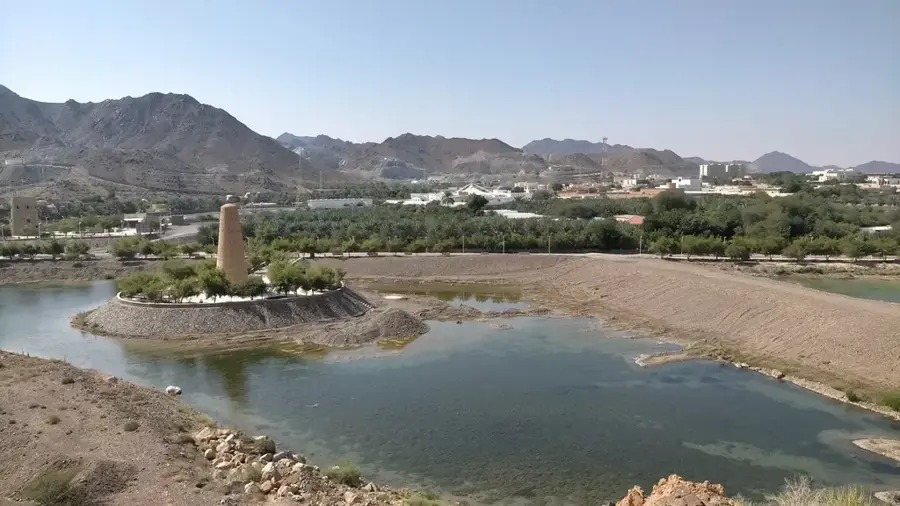
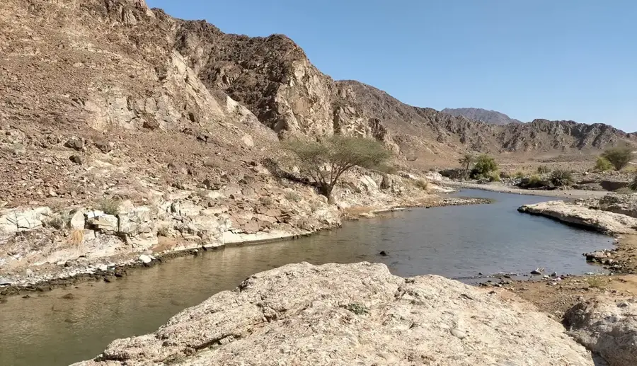
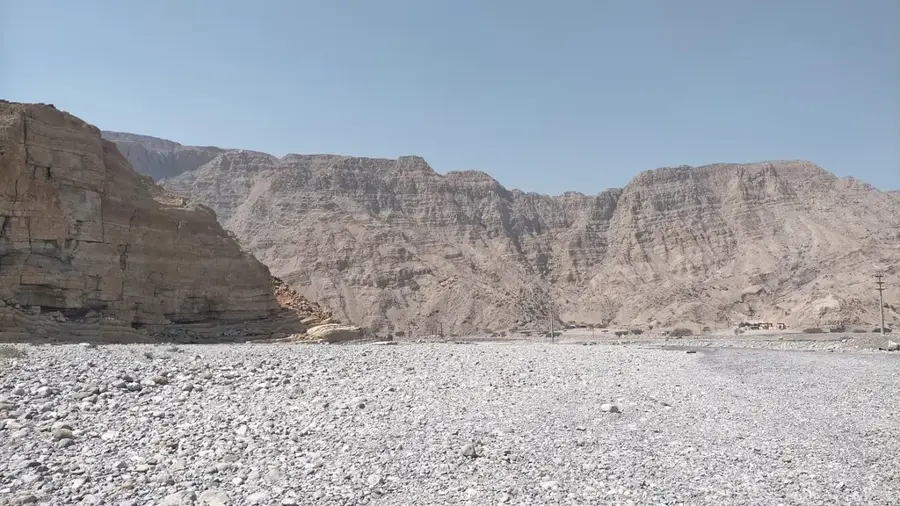
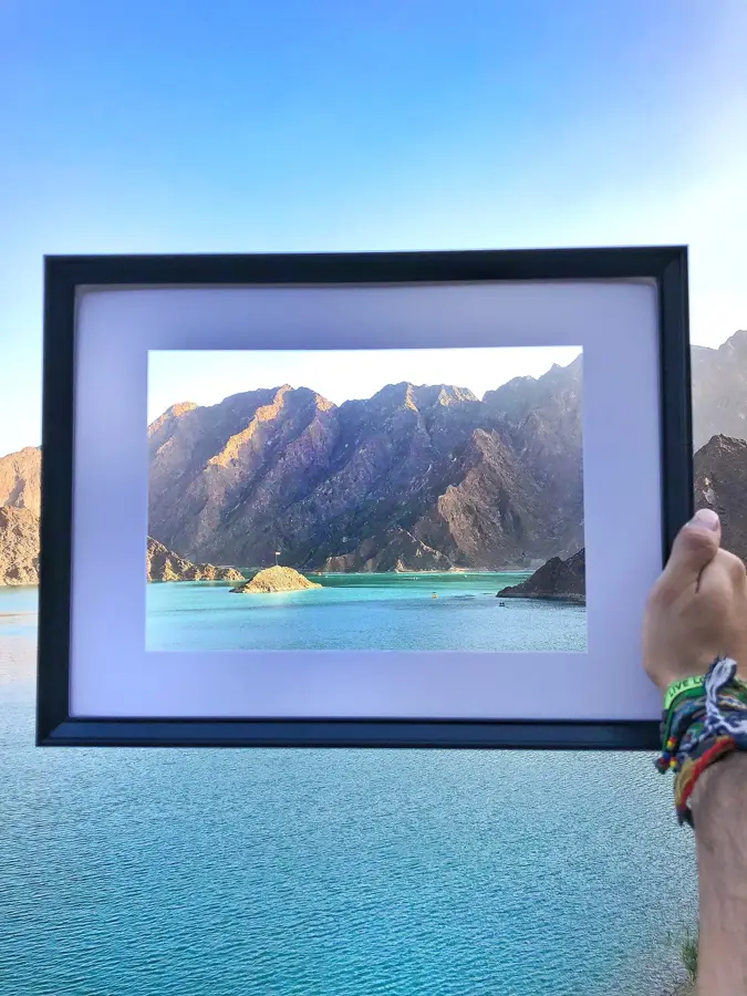
The Al Hajar Mountains are the highest mountain range in the eastern Arabian Peninsula, stretching across large parts of Oman and the eastern United Arab Emirates. The range was formed approximately 70 million years ago through tectonic collisions between the Arabian and Eurasian plates. A unique feature of the region is the presence of ophiolites, rocks from the former ocean floor that were uplifted here, fascinating geologists worldwide. The landscape is characterized by rugged peaks, deep canyons (wadis), and terraced slopes where agriculture has been practised for centuries. The mountains act as a significant climatic divide, trapping moisture from the Indian Ocean, resulting in occasional rainfall and a level of biodiversity unusual for the region. Ancient irrigation systems called falaj, which are part of the UNESCO World Heritage, are often found in the valleys. For tourists, the Hajar Mountains offer excellent opportunities for off-road adventures, hiking, and cultural exploration.
- Location: United Arab Emirates
- Top sights: Jabal Hidehid · Jabal Al 'Arfay
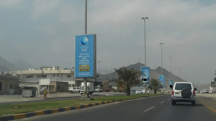
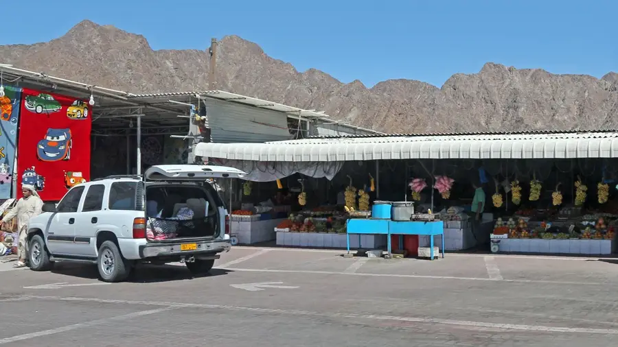
- Nearby: Masafi (7 km)
Best time to visit & climate
The most pleasant time to visit is Jan, Feb, Dec.
| Jan | Feb | Mar | Apr | May | Jun | Jul | Aug | Sep | Oct | Nov | Dec | |
|---|---|---|---|---|---|---|---|---|---|---|---|---|
| Avg °C | 20 | 21 | 24 | 28 | 33 | 35 | 35 | 34 | 33 | 30 | 26 | 22 |
| Rain mm | 29 | 10 | 17 | 6 | 1 | 6 | 2 | 2 | 1 | 3 | 10 | 15 |
📋 Practical info
Geography
Facts
- The highest peak in the range is Jebel Shams in Oman, standing at 3,009 metres.
- The mountains stretch over a total length of approximately 500 kilometres.
- Geologically, the region contains the world's largest exposed ophiolite complex.
- The name 'Hajar' is derived from Arabic and translates to 'stone' or 'rocky'.
- Mountain building (orogeny) began in the Late Cretaceous, about 70 million years ago.
- The range is home to rare wildlife, including the endangered Arabian tahr.
Explore nearby
Notable places around
Route planner — Car & Motorhome
Where do you start? We build the route here, with stops and country notes along the way.
© OpenStreetMap contributors · OpenRouteService
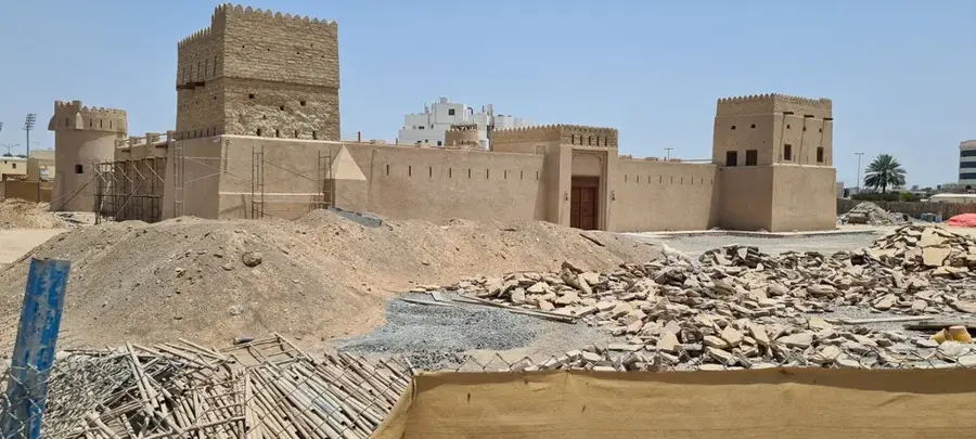
Sights in the town Al Hajar Mountains (2)
Sights nearby
Frequently asked questions
What are the Al Hajar Mountains?
Is it cooler there?
Is it suitable for hiking?
Which vehicle is best?
Is there accommodation there?
Al Hajar Mountains: where is it located?
Al Hajar Mountains: what is there to see?
Al Hajar Mountains: when is the best time to visit?
Al Hajar Mountains: why is it worth visiting?

Nearby cities


History & landmarks
Nature
More places