Plizio Visual Lab
Sievierodonetsk
ℹ️Practical info — Sievierodonetsk
▾
🌤 Weather — 5 days
📍 Nearby
Sights nearby
💡 Tips
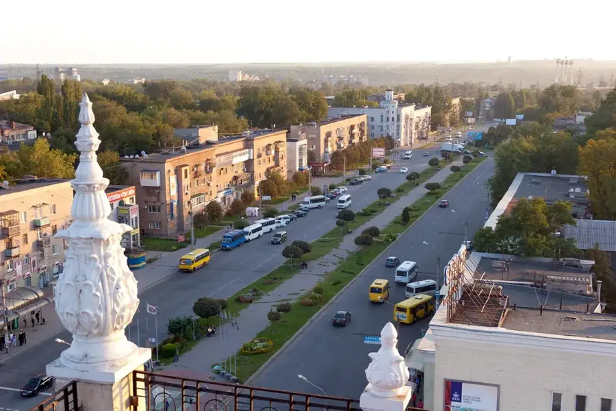
- The city features a grid layout typical of Soviet urban planning, making it hard to get lost.
- Due to its industrial nature, focus your visit on the central squares and recreational areas.
- Public transport is mainly trolleybuses; buy tickets directly from the driver.
- Lake Chyste is a popular local spot, but check local advice on current access and safety.
🍽 Food
A staple everywhere, but local diners serve it robustly with garlic buns.
Fried cottage cheese pancakes, well-suited for breakfast in any central cafe.
During summer, look for local vendors selling this traditional fermented beverage.
🛍 Shopping · 🧘 Quiet spots
Visit the central market for locally produced sweets and baked goods.
Occasionally, local shops sell traditional ceramics from the wider region.
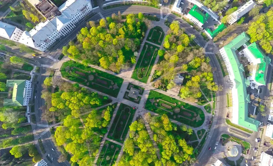
The main park gives shaded walkways and a break from the urban environment.
The forested area around the lake is preferred for quiet walks, though stay on marked paths.
Water temperature…
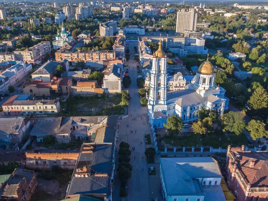
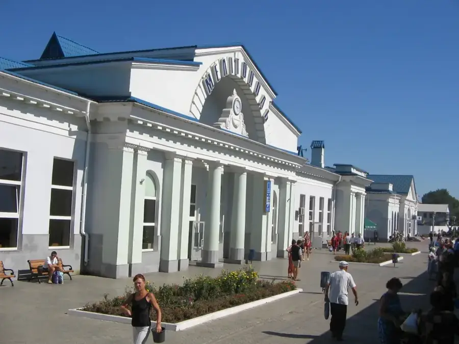
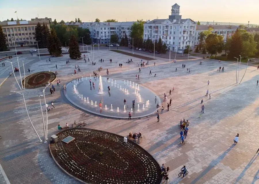
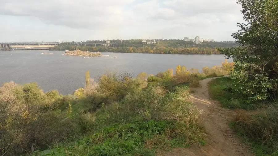
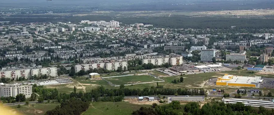
Sievierodonetsk is a major industrial hub in Eastern Ukraine, situated on the banks of the Siverskyi Donets River. The city was founded in 1934 as a residential settlement for workers constructing a massive chemical complex and was originally called Lysychansk-Bud. At its core is the Azot chemical plant, one of Europe's largest producers of nitrogen fertilizers, which has fundamentally shaped the local economy. Sievierodonetsk features a planned urban layout with wide boulevards and extensive parklands, characteristic of post-war Soviet industrial architecture. Following the events of 2014, the city served as the interim administrative center of the Luhansk Oblast. Beyond chemical production, it is a center for scientific research and mechanical engineering. Culturally, the city maintains several theaters and museums documenting the region's industrial and technical heritage. The surrounding landscape is defined by vast pine forests that provide a natural contrast to the heavy industrial infrastructure. Despite sustaining severe damage in recent conflicts, the city remains an icon of the industrial capacity of the Donbas region.
- Location: Ukraine
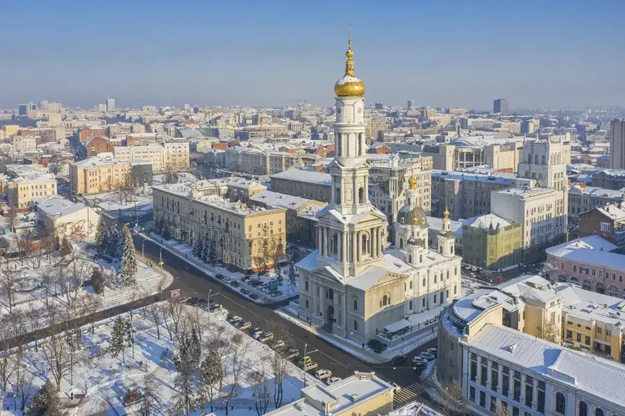
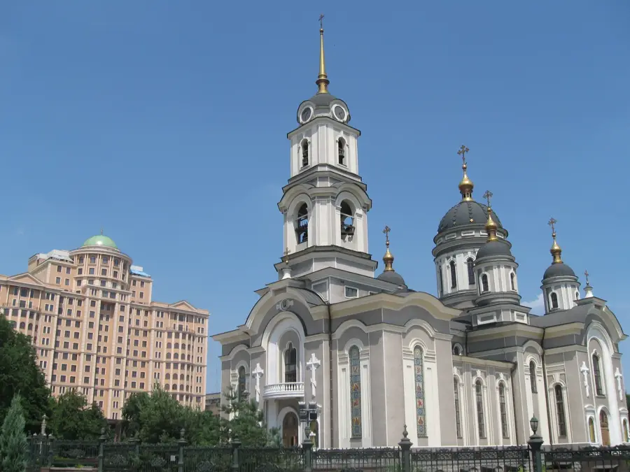
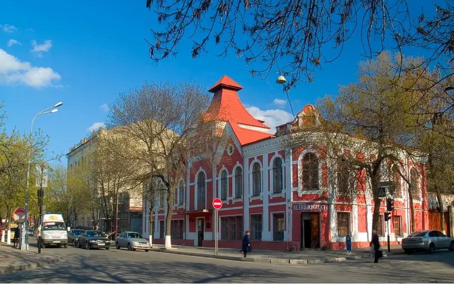
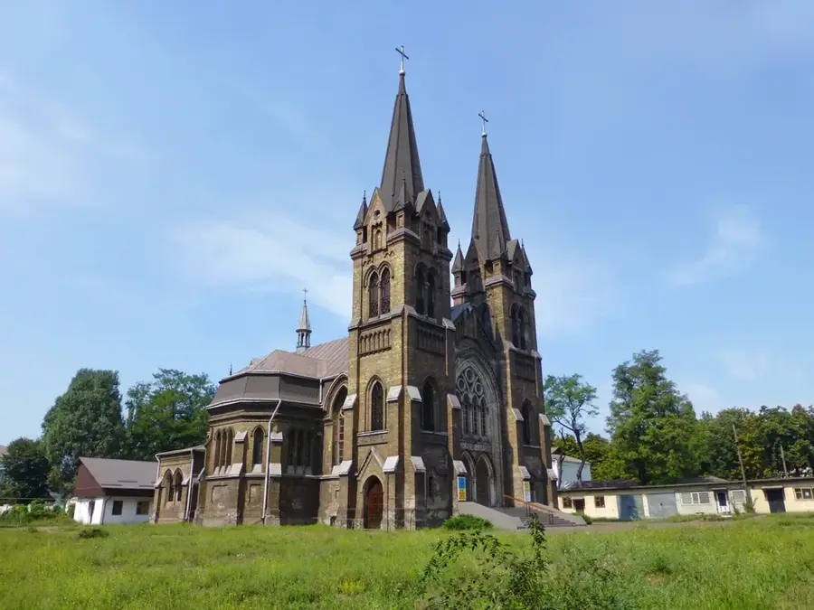
- Top sights: Azot Association Public History Museum · Lugansk Regional Academic Ukrainian Music and Drama Theatre · Victory Stella
- Nearby: Lysychansk (8 km)
- Population: ~99.067
Best time to visit & climate
The most pleasant time to visit is Jun–Aug.
| Jan | Feb | Mar | Apr | May | Jun | Jul | Aug | Sep | Oct | Nov | Dec | |
|---|---|---|---|---|---|---|---|---|---|---|---|---|
| Avg °C | -7 | -5 | 1 | 9 | 16 | 21 | 24 | 23 | 17 | 9 | 2 | -4 |
| Rain mm | 51 | 40 | 41 | 43 | 51 | 59 | 60 | 30 | 39 | 43 | 43 | 48 |
Geography
Facts
- Founded in 1934 as a settlement for nitrogen fertilizer plant workers
- It received its current name, Sievierodonetsk, in 1950
- The Azot plant covers an area of several square kilometers
- Sievierodonetsk was officially granted city status in 1958
- The city is located approximately 110 km northwest of Luhansk
- It hosts a significant research institute for the nitrogen industry
Explore nearby
Notable places around
Route planner — Car & Motorhome
Where do you start? We build the route here, with stops and country notes along the way.
© OpenStreetMap contributors · OpenRouteService
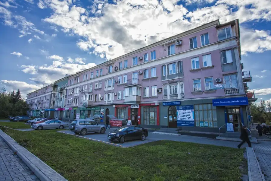
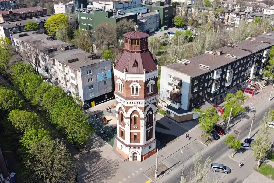
Sights in the town Sievierodonetsk (8)
Frequently asked questions
How did the city of Sieverodonetsk originate?
Which river flows near the city?
Are there cultural spots in the city?
Is the city green?
Which nearby lake is popular?
Sievierodonetsk: where is it located?
Sievierodonetsk: what is there to see?
Sievierodonetsk: when is the best time to visit?
Sievierodonetsk: why is it worth visiting?

Nearby cities