Plizio Visual Lab
Donets Lowland
Weather…
Water temperature…
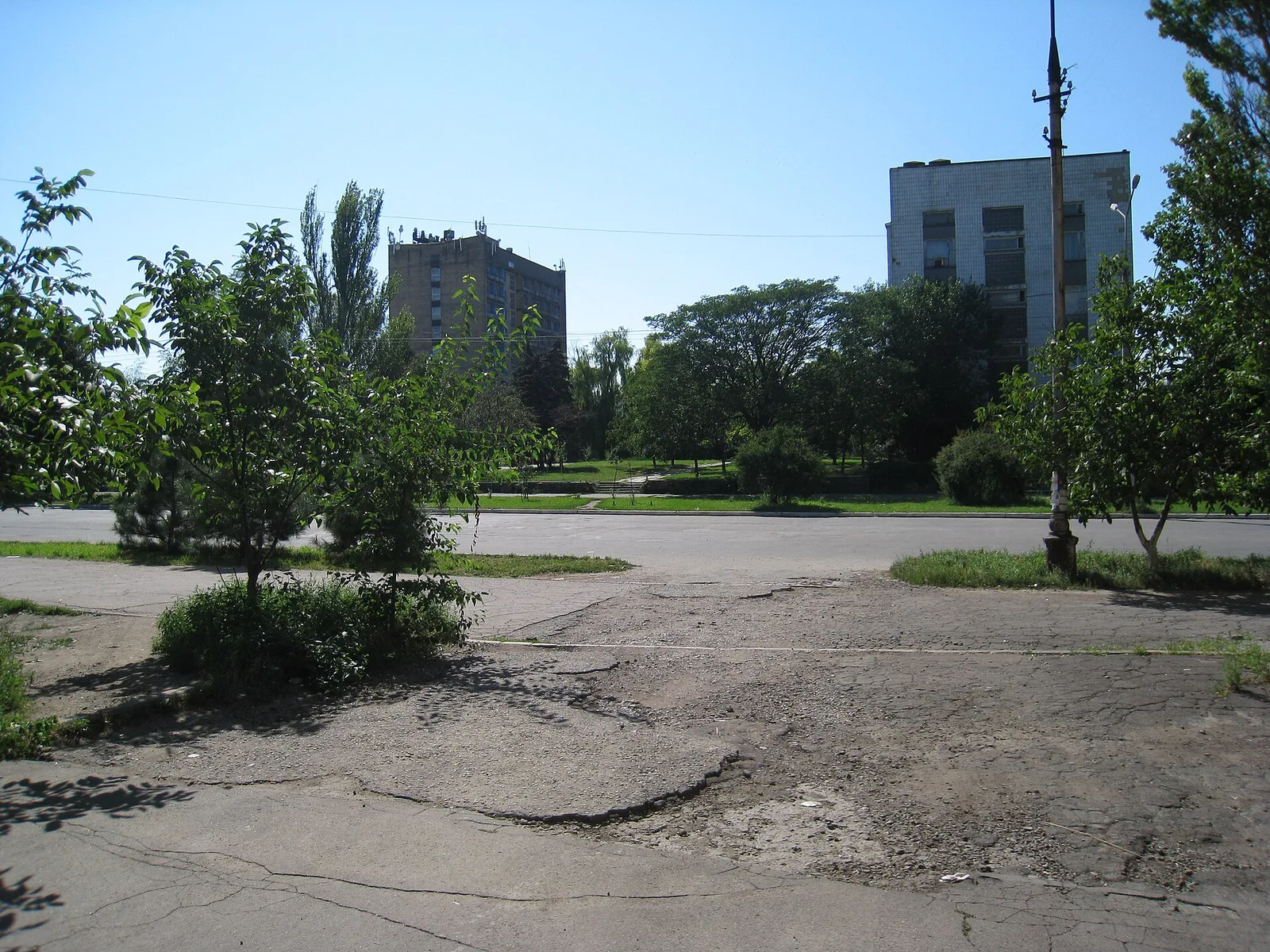
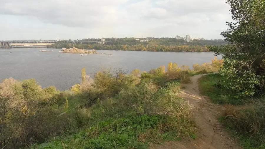
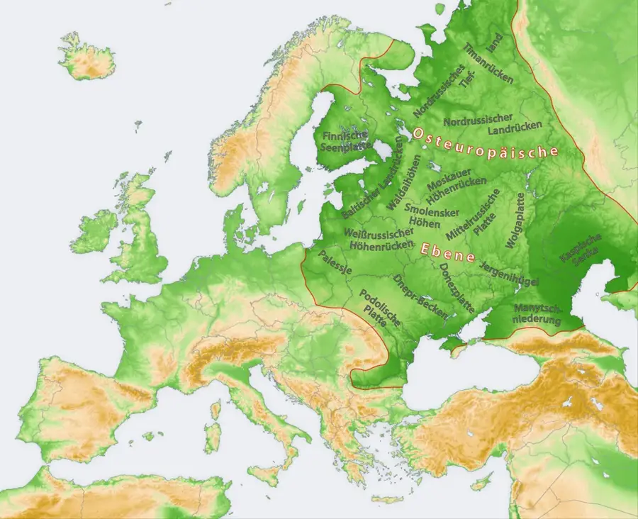
The Donets Lowland is situated in eastern Ukraine, bordered to the north by the spurs of the Central Russian Upland. The landscape features a diverse relief of river valleys, gullies, and rolling hills, primarily sculpted by the erosive forces of the Seversky Donets River. Geologically, the region is intrinsically linked to the Donets Basin (Donbas), famous for its extensive coal deposits which have driven Eastern Europe's industrial growth since the 19th century. The native vegetation consists mostly of steppe and forest-steppe ecosystems, though much of the land has been transformed for agricultural and industrial use. The region has long held strategic importance as a crossroads for trade routes connecting the Black Sea with Central Russia. Extensive mining operations have introduced numerous anthropogenic landforms, such as slag heaps (terrikons), which characterize the modern horizon. Ecologically, the lowland faces significant challenges from decades of industrial activity, yet it still contains protected sites that preserve rare steppe biodiversity.
- Location: Ukraine
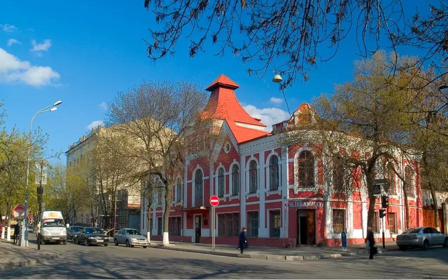
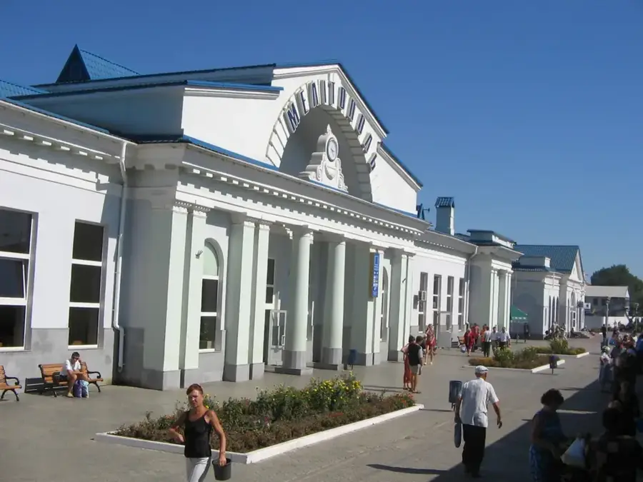
- Top sights: Dibrova, Bakhmut Raion, Donetsk Oblast · Fedorivka Druha
- Nearby: Lyman (21 km)
Best time to visit & climate
The most pleasant time to visit is Jun–Aug.
| Jan | Feb | Mar | Apr | May | Jun | Jul | Aug | Sep | Oct | Nov | Dec | |
|---|---|---|---|---|---|---|---|---|---|---|---|---|
| Avg °C | -6 | -5 | 1 | 9 | 16 | 21 | 24 | 23 | 17 | 9 | 2 | -3 |
| Rain mm | 50 | 39 | 41 | 41 | 51 | 61 | 56 | 32 | 38 | 40 | 43 | 47 |
📋 Practical info
Geography
Facts
- The lowland's average elevation ranges from 100 to 200 meters.
- The Seversky Donets is the largest tributary of the Don in the region.
- Coal deposits were first officially documented in the area in 1721.
- Numerous ancient burial mounds (kurgans) dot the landscape.
- Anthropogenic spoil tips (terrikons) can reach heights of 100 meters.
- The climate is temperate continental with dry, hot summers.
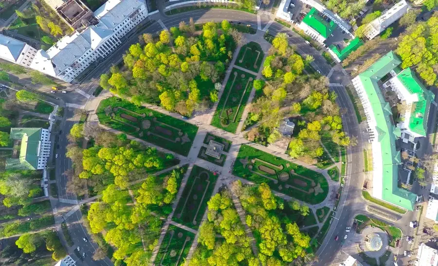
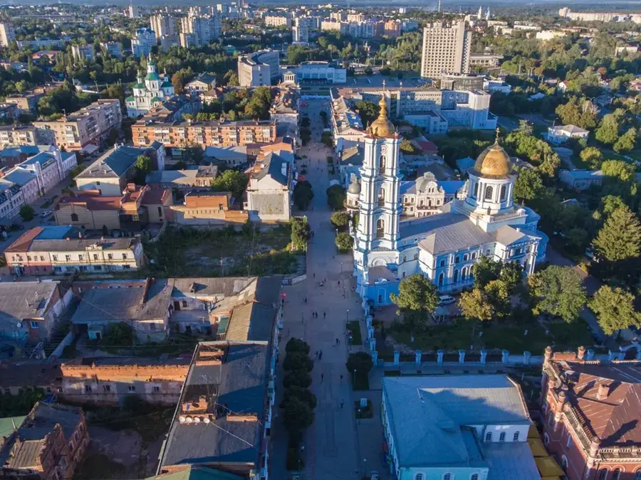
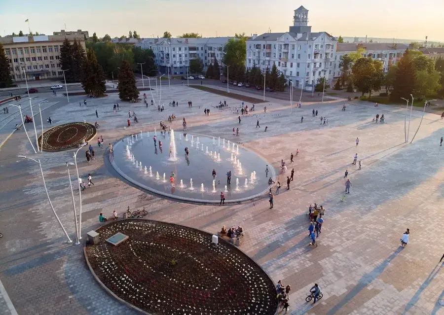
Explore nearby
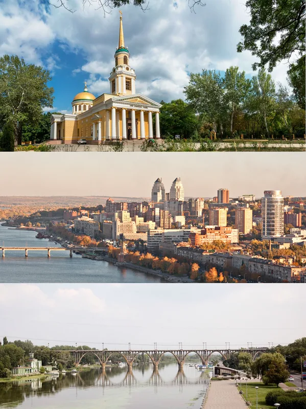
Notable places around
Route planner — Car & Motorhome
Where do you start? We build the route here, with stops and country notes along the way.
© OpenStreetMap contributors · OpenRouteService
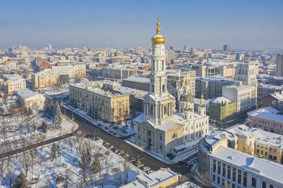
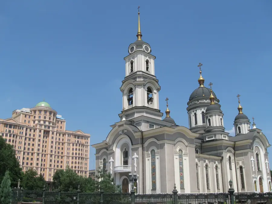
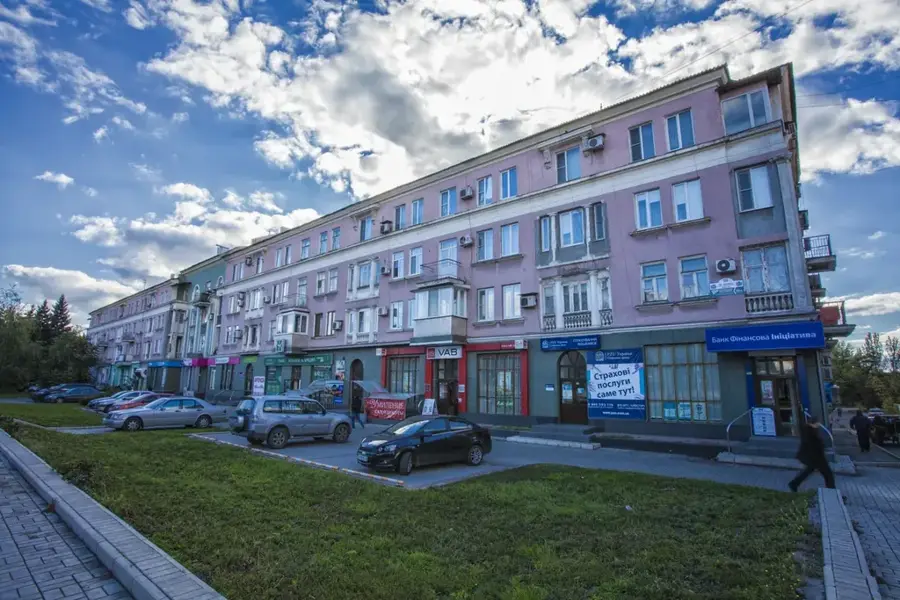
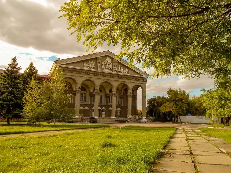
Sights in the town Donets Lowland (2)
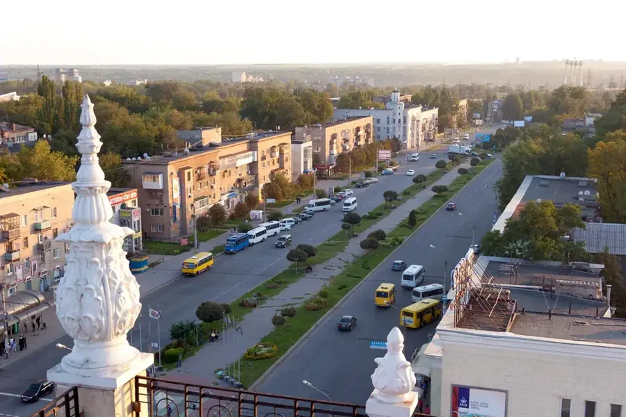
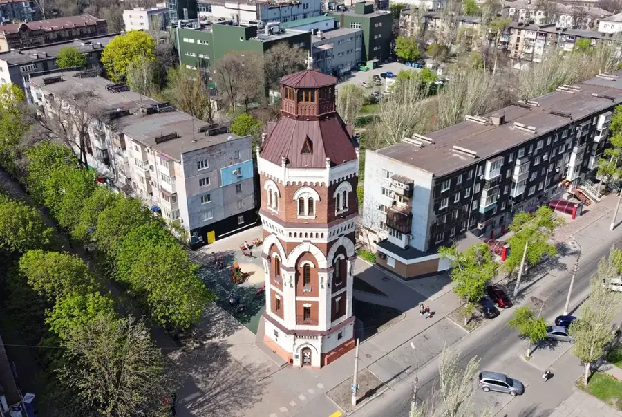
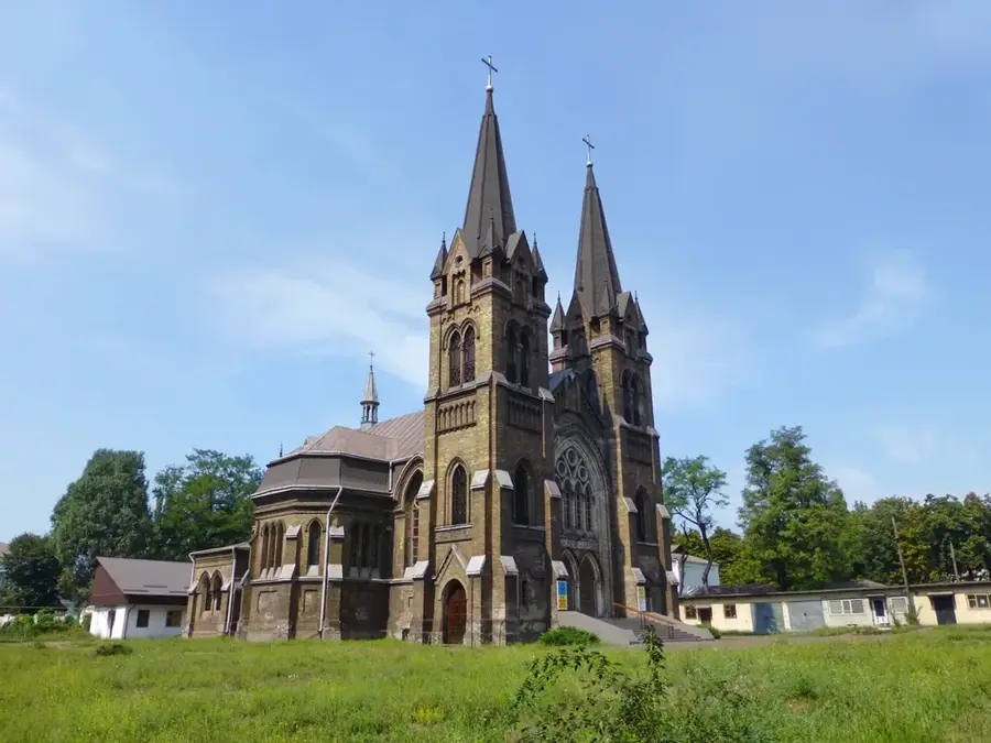
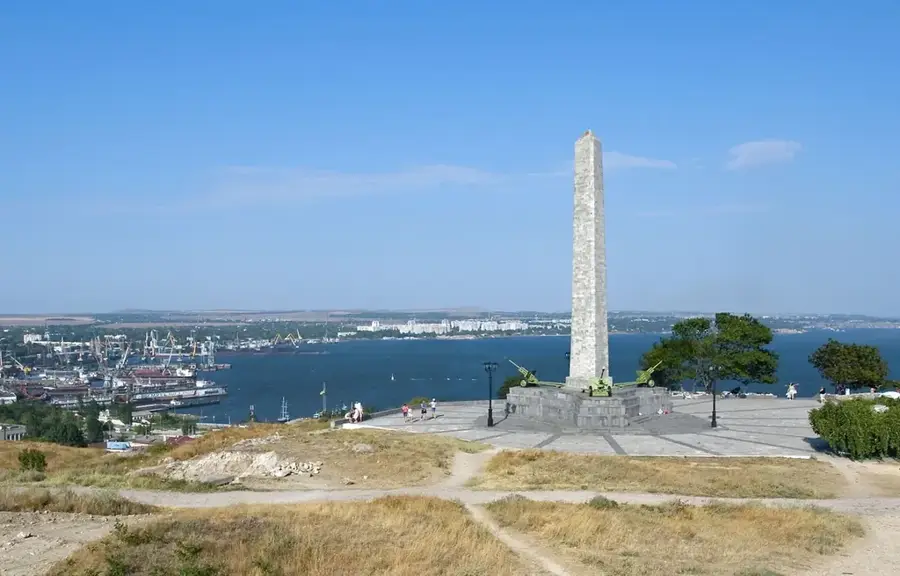
Sights nearby
Frequently asked questions
Where is the Donets Lowland located?
What is the terrain like in this region?
What are the most important natural resources?
Are there ecologically valuable areas?
How does industry affect the relief?
Donets Lowland: where is it located?
Donets Lowland: what is there to see?
Donets Lowland: when is the best time to visit?
Donets Lowland: why is it worth visiting?

Nearby cities