Plizio Visual Lab
Iganga
ℹ️Practical info — Iganga
▾
🌤 Weather — 5 days
📍 Nearby
Sights nearby
💡 Tips
- Minibuses (matatus) are the most common way to get around, but agree on the fare before hopping in.
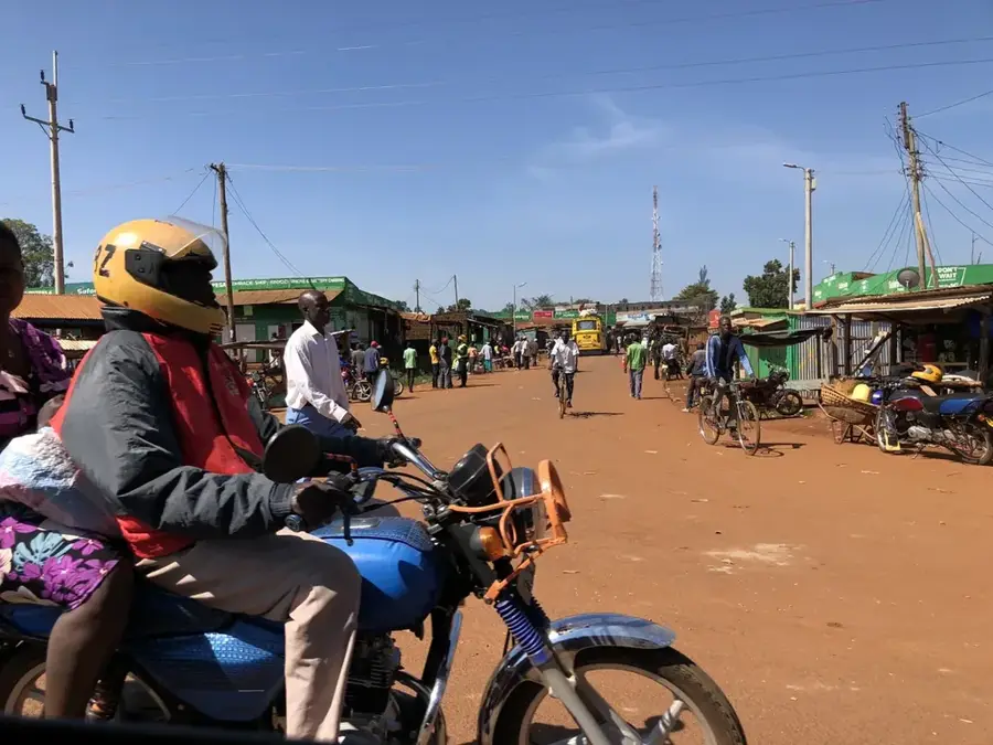
- The main road to Kenya passes through here, making the town center quite busy; keep an eye on your belongings.
- Learn a few basic words in Lusoga or Luganda; locals appreciate the effort.
- Cash is king here; ensure you have enough Ugandan Shillings as ATMs can occasionally run out.
🍽 Food
The famous Ugandan street food (an omelette rolled in a chapati), available at numerous roadside stalls.
Meat or peanut sauce steamed in banana leaves, served at traditional local restaurants.
Freshly caught from nearby Lake Victoria, usually served fried or in a stew at eateries along the main highway.
🛍 Shopping · 🧘 Quiet spots
A spirited place to buy fresh produce, spices, and local textiles.
Look for woven baskets and wooden carvings near the main transit hubs.
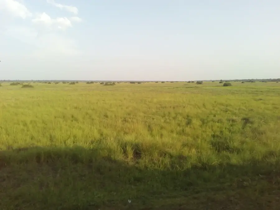
A short walk from the center reveals quiet, lush green agricultural fields.
Many local churches have surprisingly peaceful courtyards away from the highway noise.
Water temperature…
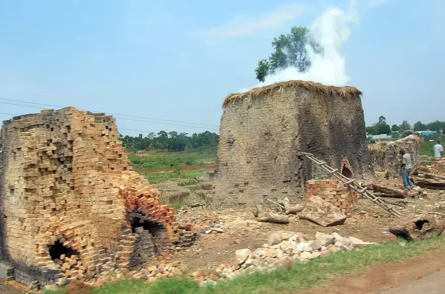
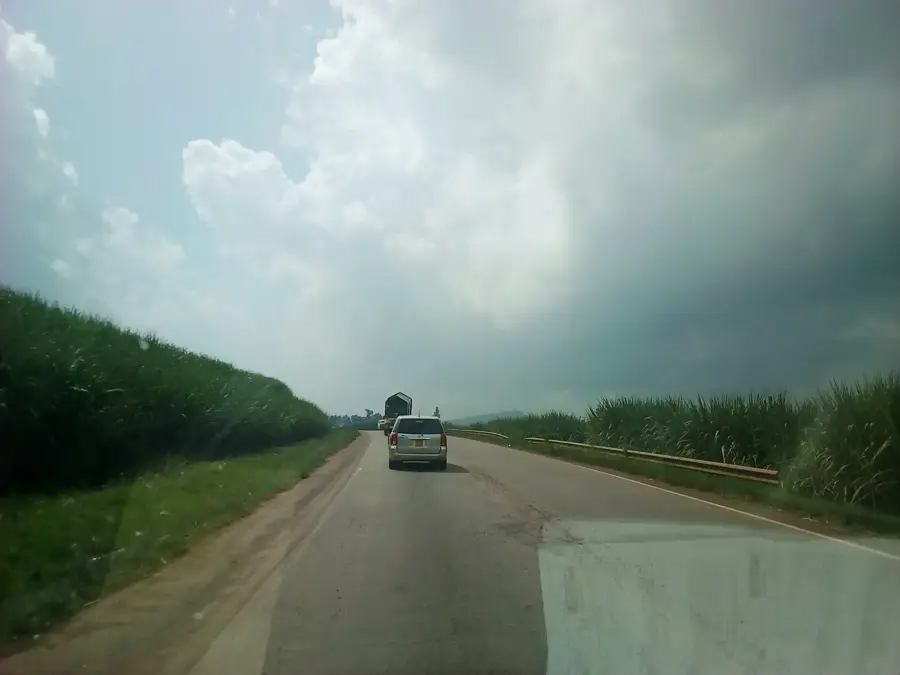
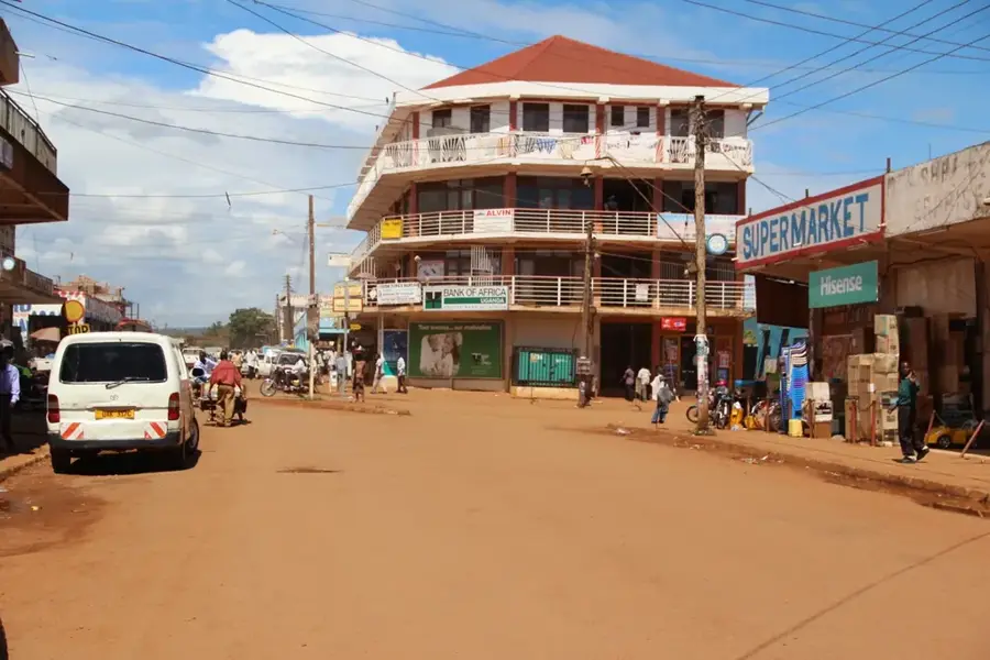
Iganga is a major commercial and administrative hub located in the Eastern Region of Uganda, situated about 45 kilometers northeast of the industrial city of Jinja. The town is strategically positioned along the main highway that connects Kampala to the Malaba and Busia border crossings into Kenya, making it a critical node for international trade and transit. Geographically, Iganga lies on a relatively flat landscape at an average altitude of 1,100 meters, surrounded by a productive agricultural hinterland where maize, rice, and sugarcane are extensively grown. Historically, it developed as a central marketplace for the Busoga sub-region, facilitating the exchange of goods between rural farmers and urban traders. One of its most significant modern institutions is the Iganga General Hospital, which provides essential medical services to a catchment area of over 1.5 million people. The municipality is also recognized for its educational institutions, attracting students from across eastern Uganda. Today, Iganga continues to thrive as a bustling retail center and distribution point for agricultural goods.
- Location: Uganda
- Nearby: Mayuge (12 km)
- Population: ~65.500 (2024)
Best time to visit & climate
The most pleasant time to visit is Jan, Jun, Jul.
| Jan | Feb | Mar | Apr | May | Jun | Jul | Aug | Sep | Oct | Nov | Dec | |
|---|---|---|---|---|---|---|---|---|---|---|---|---|
| Avg °C | 24 | 25 | 24 | 23 | 22 | 22 | 22 | 22 | 23 | 23 | 23 | 23 |
| Rain mm | 80 | 68 | 171 | 248 | 201 | 98 | 78 | 112 | 151 | 184 | 197 | 127 |
Geography
Facts
- Situated on the main highway connecting Uganda to the Kenyan border.
- Located approximately 45 kilometers northeast of the city of Jinja.
- Serves as a major commercial hub for the Busoga sub-region.
- Home to the Iganga General Hospital, serving over 1.5 million people.
- Average altitude is approximately 1,100 meters above sea level.
- Economy is driven by retail trade and agricultural processing of maize and rice.
Explore nearby
Notable places around
Route planner — Car & Motorhome
Where do you start? We build the route here, with stops and country notes along the way.
© OpenStreetMap contributors · OpenRouteService
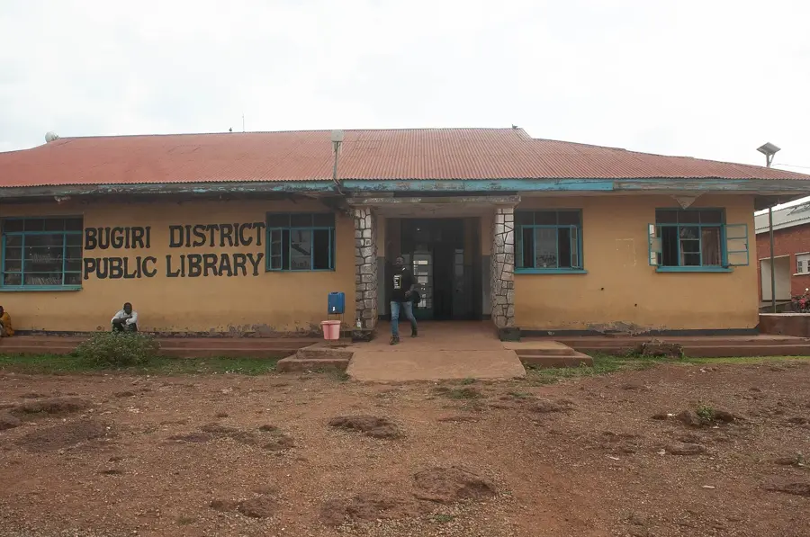
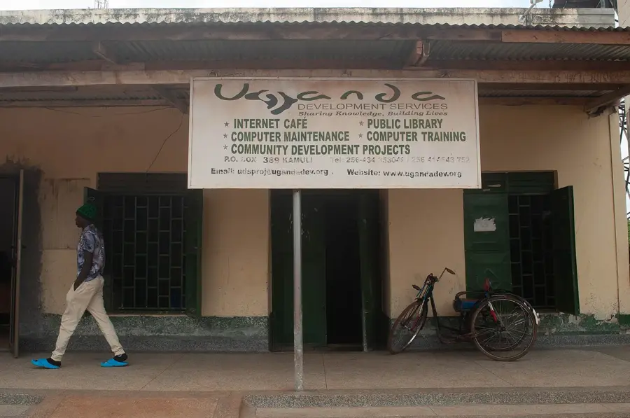
Sights in the town Iganga (1)
Frequently asked questions
What is Iganga?
How long to stay?
Is it worth seeing?
When is the best time to pass through?
Are there hotels?
Iganga: where is it located?
Iganga: when is the best time to visit?
Iganga: why is it worth visiting?

Nearby cities
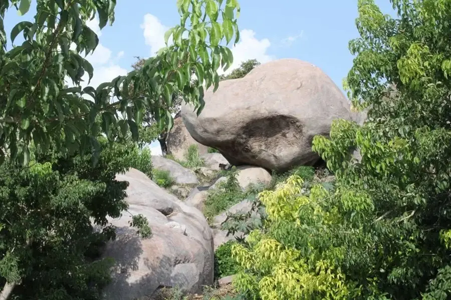

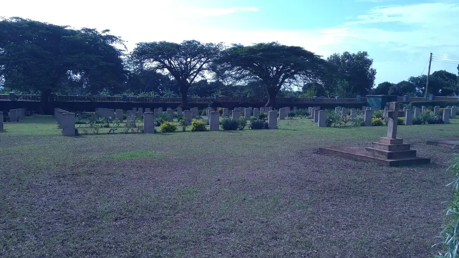
History & landmarks
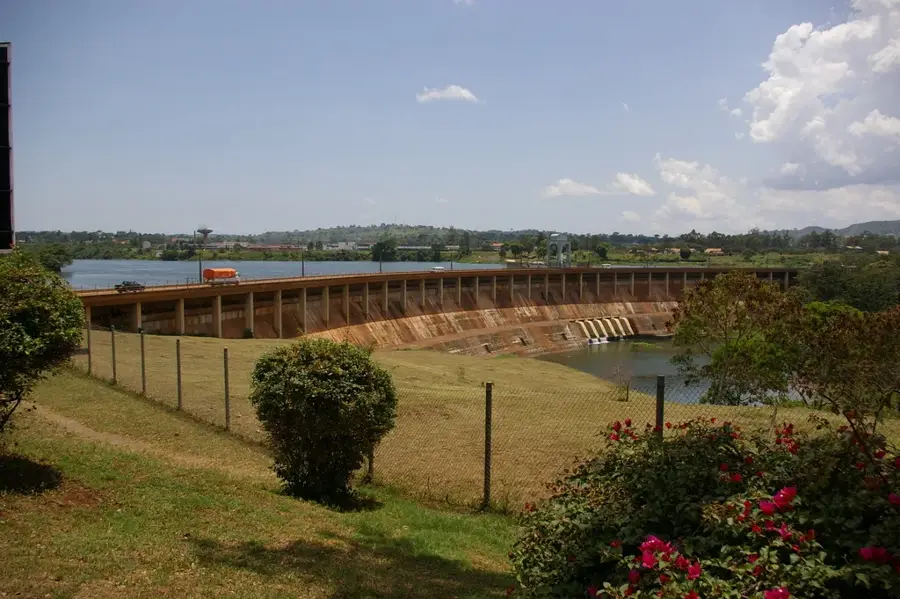
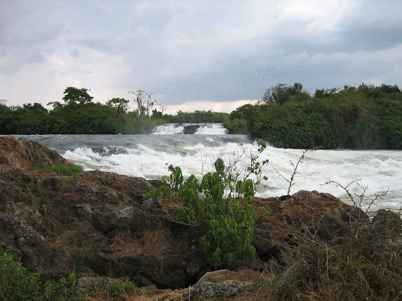
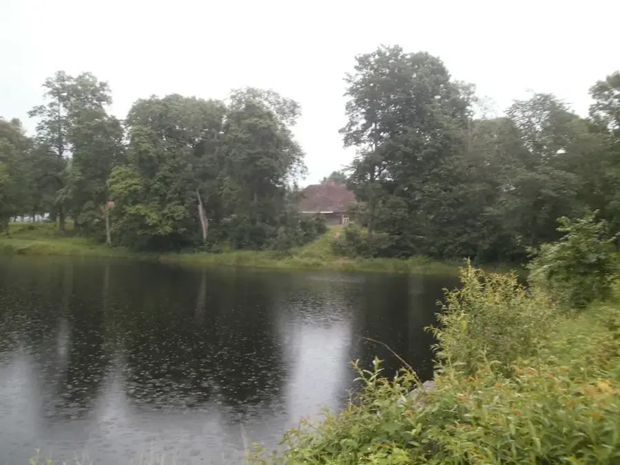
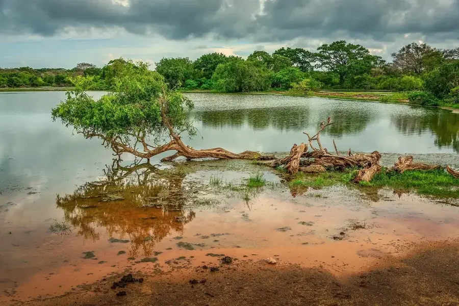
Nature
More places