Plizio Visual Lab
Pallisa
ℹ️Practical info — Pallisa
▾
🌤 Weather — 5 days
📍 Nearby
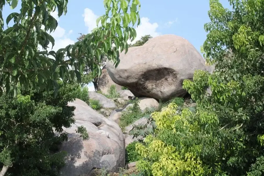
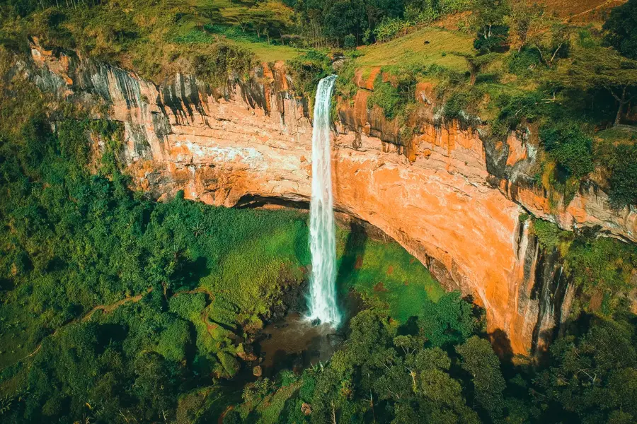
Sights nearby
💡 Tips
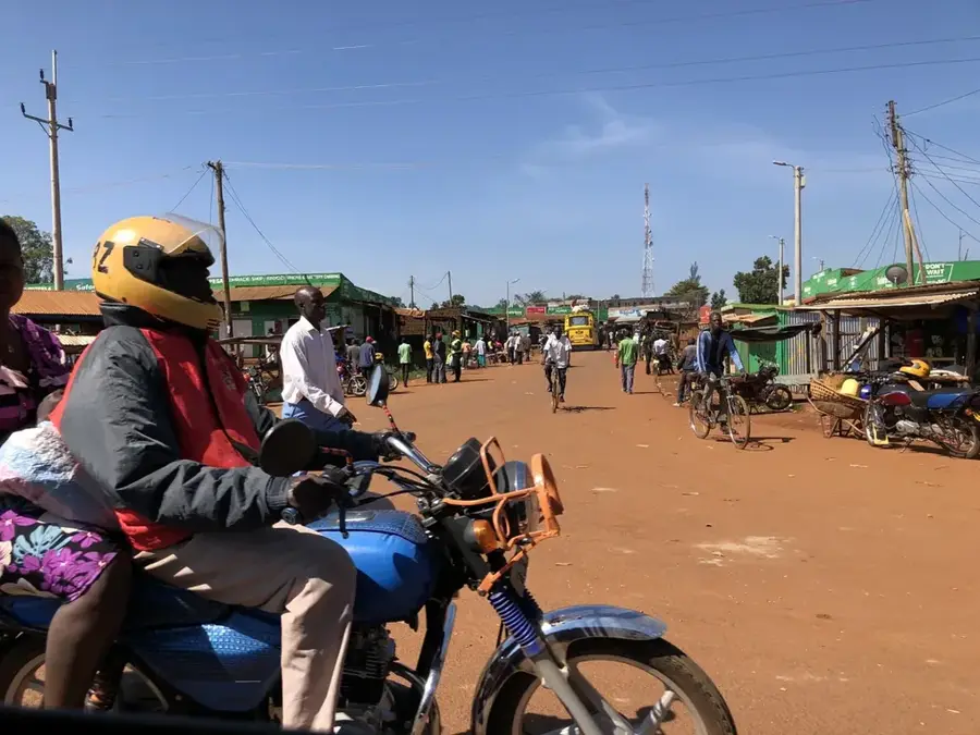
- Use boda-bodas for getting around; a short trip within town should cost around 2,000 to 4,000 UGX.
- Learning a few basic phrases in Ateso or Lugwere will go a long way in connecting with the hospitable residents.
- Bargaining is expected at the Pallisa Central Market; always start with a counter-offer about 60% of the initial price.
- The best time for birdwatching and hiking Mount Pallisa is during the dry season from December to February.
- Carry enough cash, as ATMs that accept international cards can be unreliable in this part of eastern Uganda.
🍽 Food
Smoked bamboo shoots prepared with a rich groundnut sauce, a famous delicacy of eastern Uganda.
A nutritious and hearty stew made from cow hooves, often eaten as a power breakfast by locals.
The quintessential Ugandan meal; try it at the local 'hotels' around the market for an authentic taste.
🛍 Shopping · 🧘 Quiet spots
The best place to buy fresh produce, hand-woven mats, and lively Kitenge fabrics.
A hub for unique handmade ceramics and traditional wooden kitchenware.
Pallisa is a major rice-growing area; pick up some high-quality local rice directly from the distributors.
A serene lake first-rate for a peaceful day of birdwatching and escaping the town's energy.
A vast and calm environment where you can watch local fishermen in their traditional canoes.
Has gentle hiking trails with wide-open views of lush greenery and a very quiet atmosphere.
Water temperature…
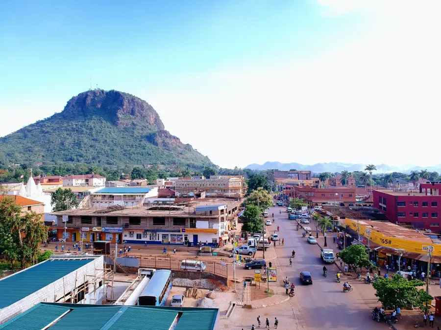
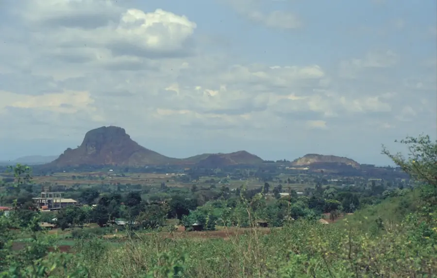
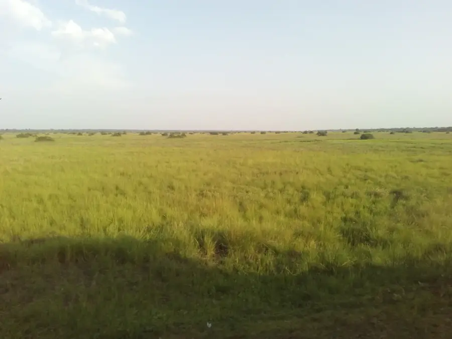
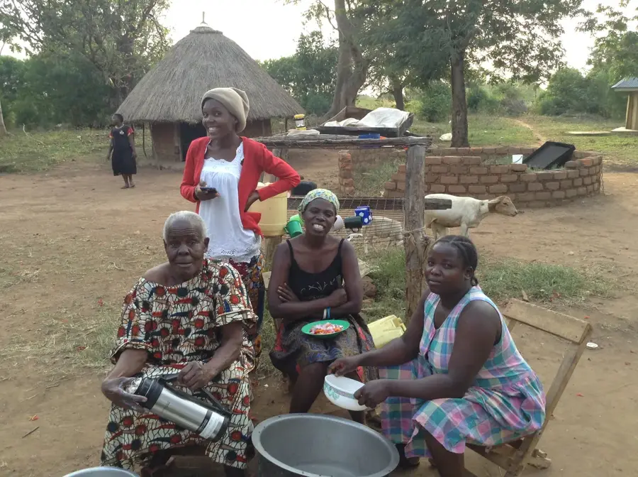
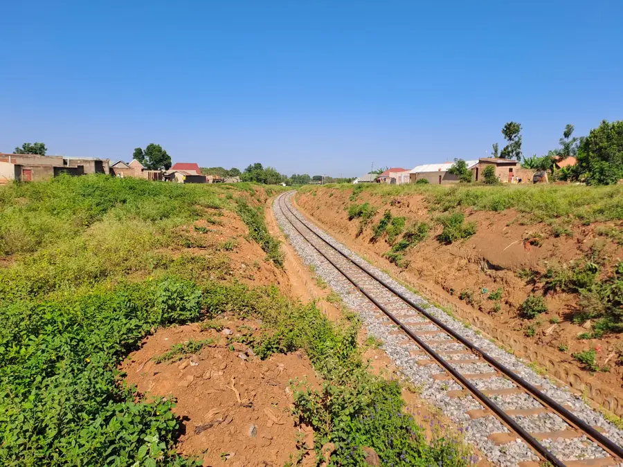
Pallisa is the administrative capital of Pallisa District in Eastern Uganda, located approximately 200 kilometers northeast of Kampala. The town is situated in a relatively flat landscape characterized by extensive wetlands and small lakes that form part of the Lake Kyoga basin. This unique geography has made the area a specialist in rice production within the swampy plains, while cotton cultivation remains a staple on higher ground. Pallisa serves as a vital commercial hub for the surrounding agricultural communities, facilitating the trade of crops and livestock. The town's infrastructure includes several educational institutions and health facilities that support the local population. Ethno-linguistically, the area is diverse, primarily inhabited by the Iteso and Bagwere peoples. Recent infrastructure projects to upgrade roads linking Pallisa to Mbale and Kumi have significantly enhanced regional accessibility and boosted local trade opportunities.
- Location: Uganda
- Nearby: Kumi (38 km)
- Population: ~42.300 (2024)
Best time to visit & climate
The most pleasant time to visit is Jan, Jun, Jul.
| Jan | Feb | Mar | Apr | May | Jun | Jul | Aug | Sep | Oct | Nov | Dec | |
|---|---|---|---|---|---|---|---|---|---|---|---|---|
| Avg °C | 25 | 26 | 26 | 24 | 23 | 22 | 23 | 23 | 23 | 24 | 24 | 24 |
| Rain mm | 51 | 55 | 119 | 202 | 176 | 104 | 96 | 133 | 158 | 168 | 143 | 87 |
Geography
Facts
- Located approximately 200 kilometers northeast of Kampala.
- Pallisa District was carved out of Tororo District in 1991.
- The area is a significant center for large-scale rice farming.
- The town's elevation is approximately 1,080 meters above sea level.
- It is situated within the vital Lake Kyoga drainage basin.
- Home to the Pallisa Primary Teachers' College, a key regional school.
Explore nearby
Notable places around
Route planner — Car & Motorhome
Where do you start? We build the route here, with stops and country notes along the way.
© OpenStreetMap contributors · OpenRouteService
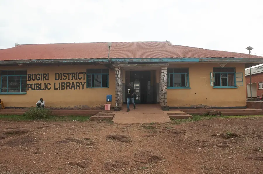
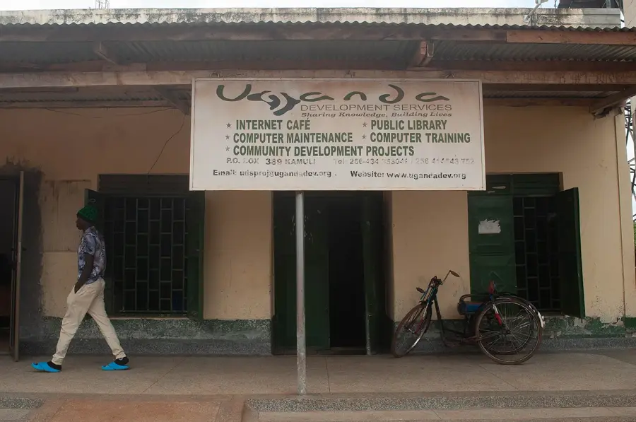
Sights in the town Pallisa (1)
Frequently asked questions
What is Pallisa known for?
Is it a tourist place?
How to reach the town?
How is the weather?
Are accommodations available?
Pallisa: where is it located?
Pallisa: when is the best time to visit?
Pallisa: why is it worth visiting?

Nearby cities
More places