Plizio Visual Lab
Jebel Zaghouan
Weather…
Water temperature…
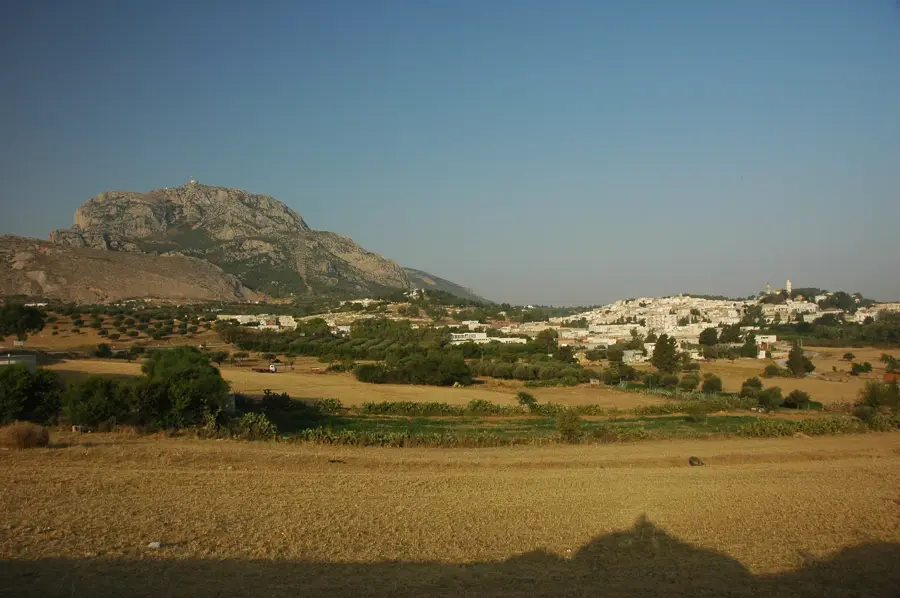
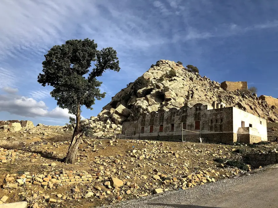
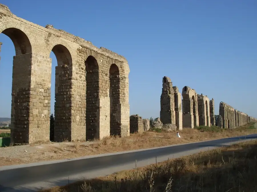
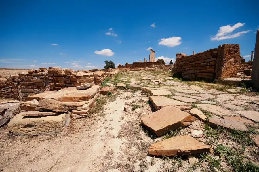
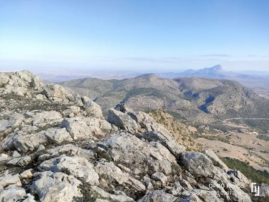
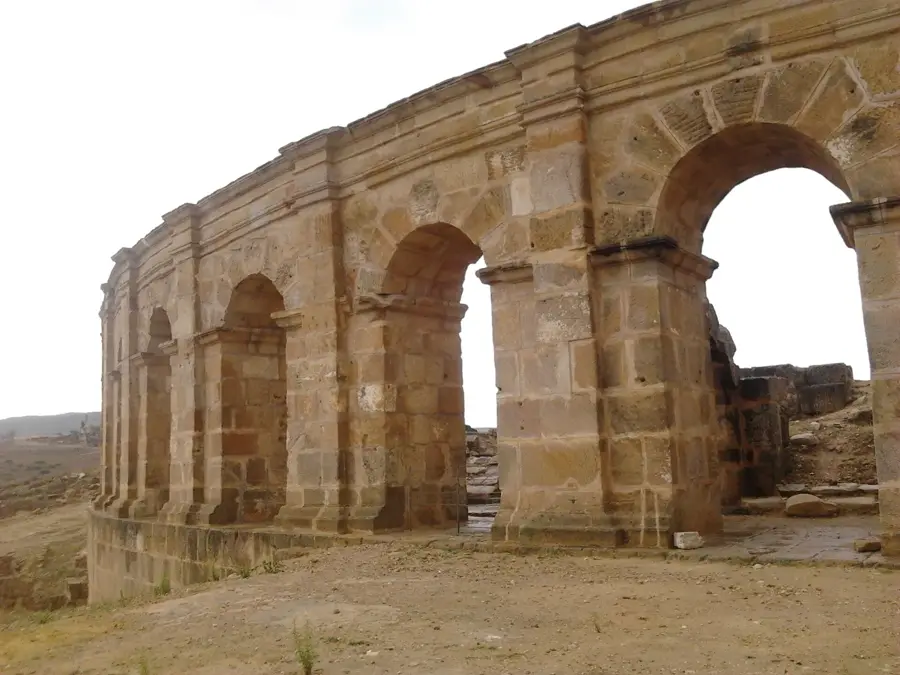
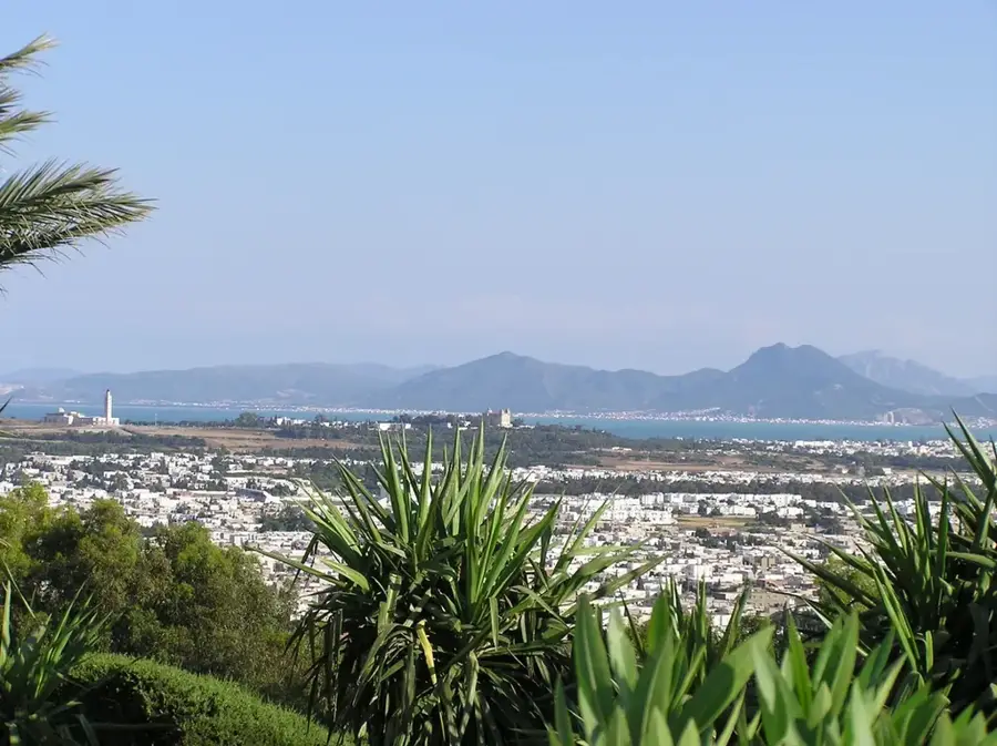
Jebel Zaghouan is a prominent mountain massif in northeastern Tunisia, marking the northeastern end of the Tunisian Dorsale range. Standing at 1,295 meters, it dominates the surrounding plains and is clearly visible from Tunis on clear days. The mountain is most famous for its historical legacy, as its base hosts the Roman Water Temple (Nymphaeum), which served as the source for the massive aqueduct of Carthage. This ancient engineering marvel transported fresh spring water to one of the greatest cities of antiquity over a distance of more than 130 kilometers. Geologically, Jebel Zaghouan is composed of limestone and features a rugged landscape rich in endemic plant species. The massif is a popular hub for outdoor activities such as rock climbing, hiking, and paragliding. Its cool climate and abundant natural springs make the region a key recreational area for residents of the capital's metropolitan district.
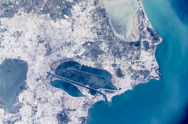
- Location: Tunisia
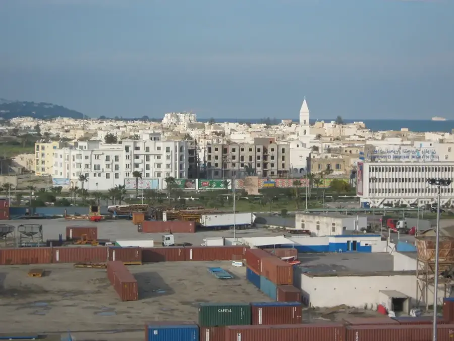
- Nearby: Enfidha (31 km)
Best time to visit & climate
The most pleasant time to visit is May, Jun, Oct.
| Jan | Feb | Mar | Apr | May | Jun | Jul | Aug | Sep | Oct | Nov | Dec | |
|---|---|---|---|---|---|---|---|---|---|---|---|---|
| Avg °C | 10 | 10 | 13 | 16 | 20 | 25 | 29 | 29 | 24 | 20 | 15 | 11 |
| Rain mm | 59 | 45 | 62 | 51 | 35 | 21 | 8 | 23 | 61 | 60 | 50 | 60 |
📋 Practical info
Geography
Facts
- Jebel Zaghouan reaches a maximum elevation of 1,295 meters.
- The Roman aqueduct to Carthage spanned over 132 kilometers.
- The Water Temple was built during Emperor Hadrian's reign in the 2nd century.
- The massif is home to rare birds of prey such as the Peregrine falcon.
- The mountain contains several deep caves, including Gouffre du Petit Hibou.
- The region still provides drinking water to parts of the Tunis metropolitan area.
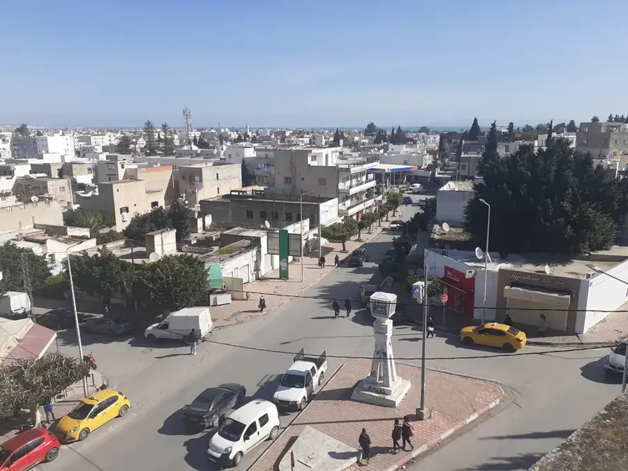
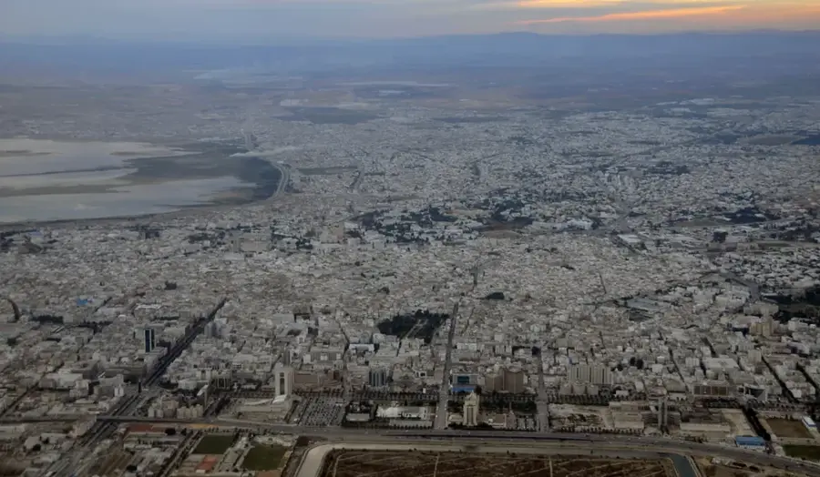
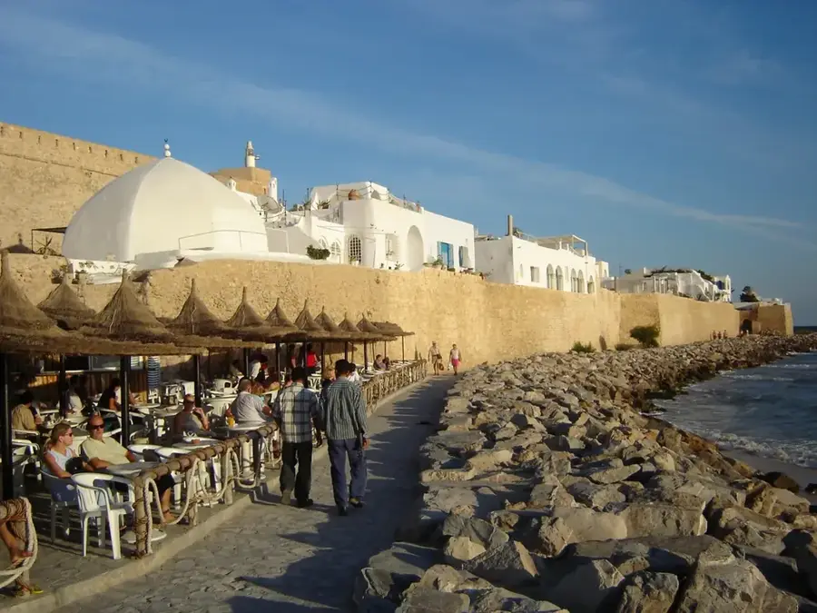
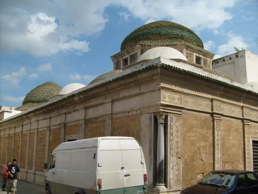
Explore nearby
Notable places around
Route planner — Car & Motorhome
Where do you start? We build the route here, with stops and country notes along the way.
© OpenStreetMap contributors · OpenRouteService
Sights nearby
Frequently asked questions
How long does the ascent to the summit take?
Do I need a guide?
Is Jebel Zaghouan suitable for children?
Are there protected animal species there?
When should I start?
Jebel Zaghouan: where is it located?
Jebel Zaghouan: when is the best time to visit?
Jebel Zaghouan: why is it worth visiting?

Nearby cities
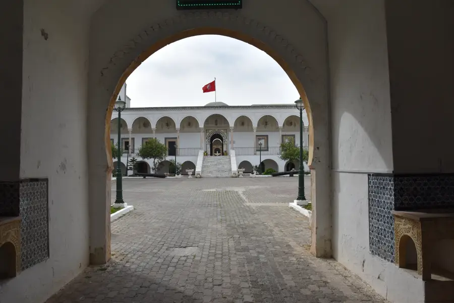
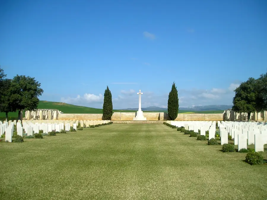
History & landmarks
Nature
More places