Plizio Visual Lab
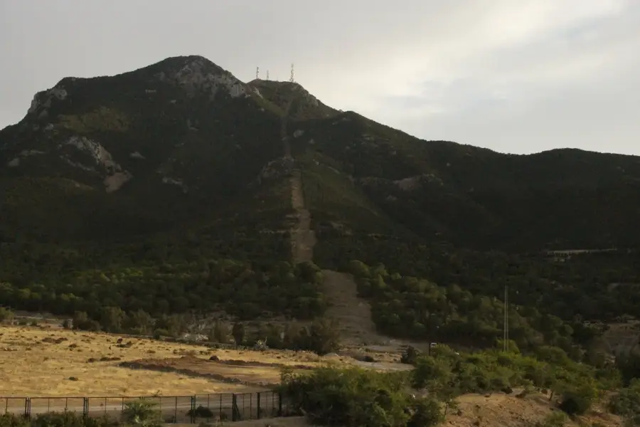
Boukornine Mountain
Weather…
Water temperature…
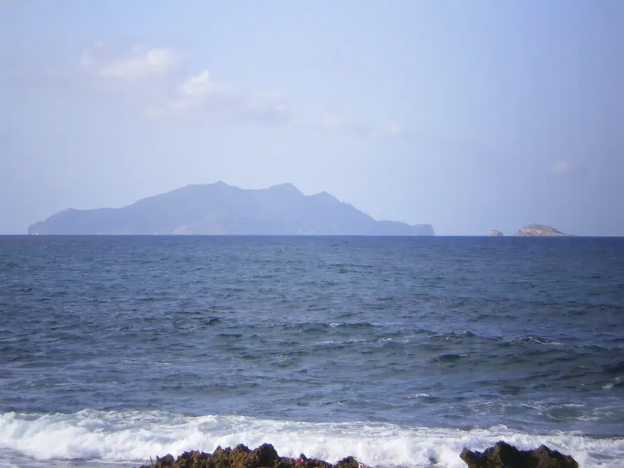
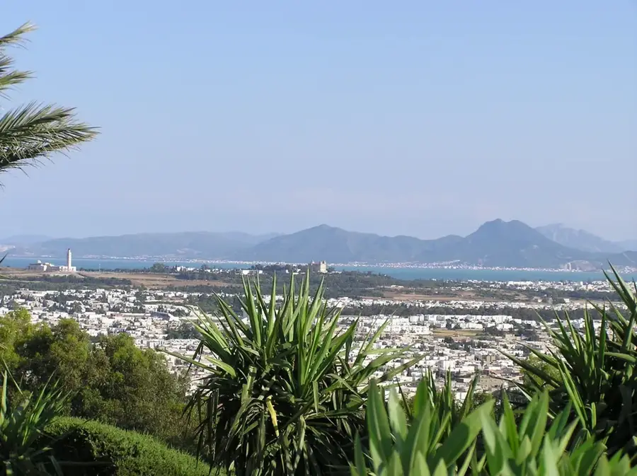
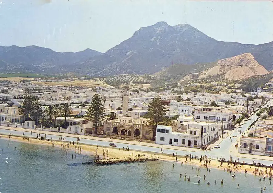
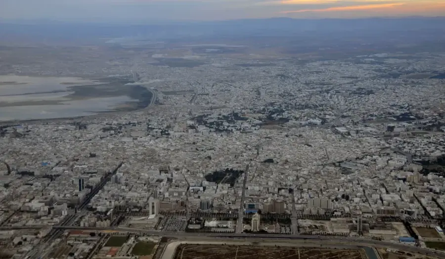
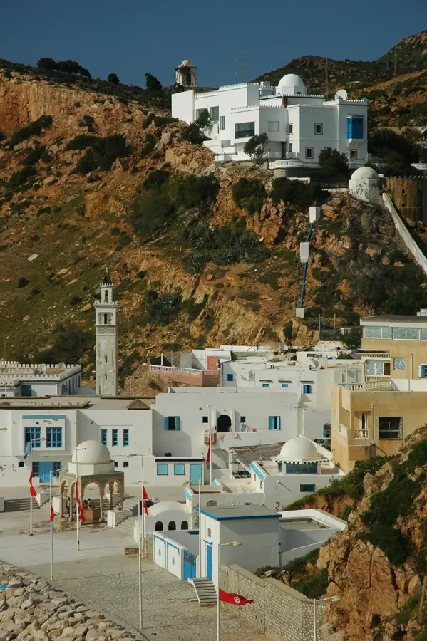
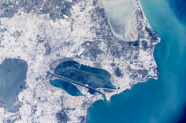
Boukornine Mountain, whose name translates from Phoenician as 'lord with two horns,' rises prominently to an elevation of 576 meters overlooking the Gulf of Tunis. It forms the northern extremity of the Tunisian Dorsale mountain range and is primarily composed of Jurassic limestone. Since 1987, an area of approximately 1,939 hectares has been protected as a national park to preserve the region's rich biodiversity. The massif is home to rare plant species such as the Persian cyclamen and various wildlife, including the world's smallest mammal, the Etruscan shrew. Historically, the mountain served as a sacred site for the Carthaginians to worship the god Baal Hammon. Today, it remains a popular destination for hikers, offering panoramic views of the capital city and the Mediterranean Sea.
- Location: Tunisia
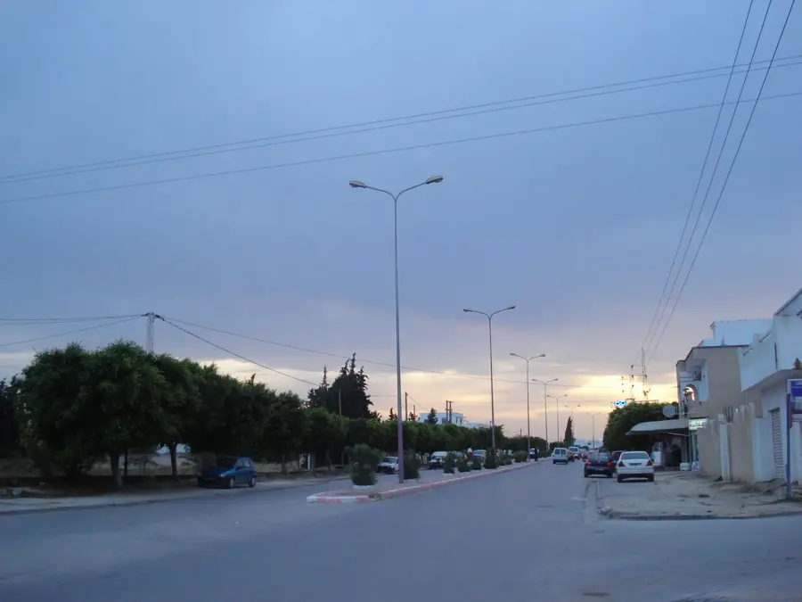
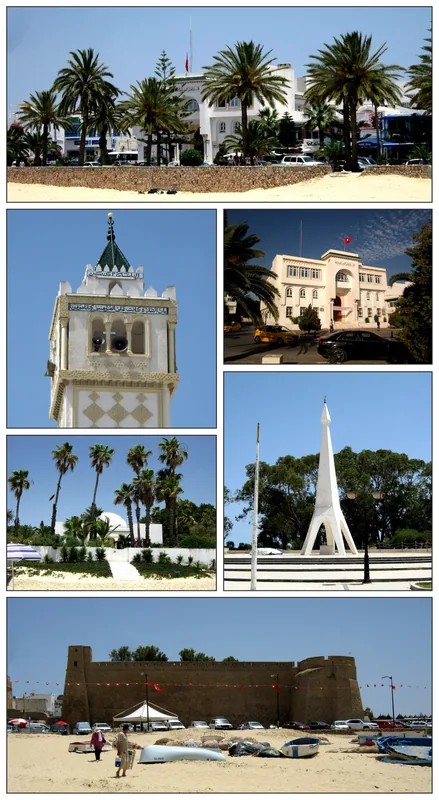
- Nearby: Hammam-Lif (15 km)
Best time to visit & climate
The most pleasant time to visit is May, Jun, Oct.
| Jan | Feb | Mar | Apr | May | Jun | Jul | Aug | Sep | Oct | Nov | Dec | |
|---|---|---|---|---|---|---|---|---|---|---|---|---|
| Avg °C | 12 | 12 | 14 | 16 | 20 | 24 | 27 | 28 | 25 | 21 | 17 | 13 |
| Rain mm | 44 | 35 | 51 | 37 | 25 | 16 | 5 | 22 | 67 | 63 | 44 | 52 |
📋 Practical info
Geography
Facts
- The highest point of the massif reaches 576 meters above sea level.
- Boukornine National Park was officially established on February 12, 1987.
- The protected area covers a total surface of 1,939 hectares.
- It is home to the Persian cyclamen, a rare wild plant in the region.
- The Etruscan shrew, the world's smallest mammal, is native to this area.
- The mountain is geologically composed mostly of Jurassic-era limestone.
Explore nearby
Notable places around
Route planner — Car & Motorhome
Where do you start? We build the route here, with stops and country notes along the way.
© OpenStreetMap contributors · OpenRouteService
Sights in the town Boukornine Mountain (1)
Sights nearby
Frequently asked questions
How do you get to Boukornine mountain?
Is it suitable for a half-day trip?
Is there a viewing platform there?
Is the park open all year round?
Can you also cycle there?
Boukornine Mountain: where is it located?
Boukornine Mountain: when is the best time to visit?
Boukornine Mountain: why is it worth visiting?

Nearby cities
History & landmarks
Nature
More places