Plizio Visual Lab
Nino Konis Santana National Park
Weather…
Water temperature…
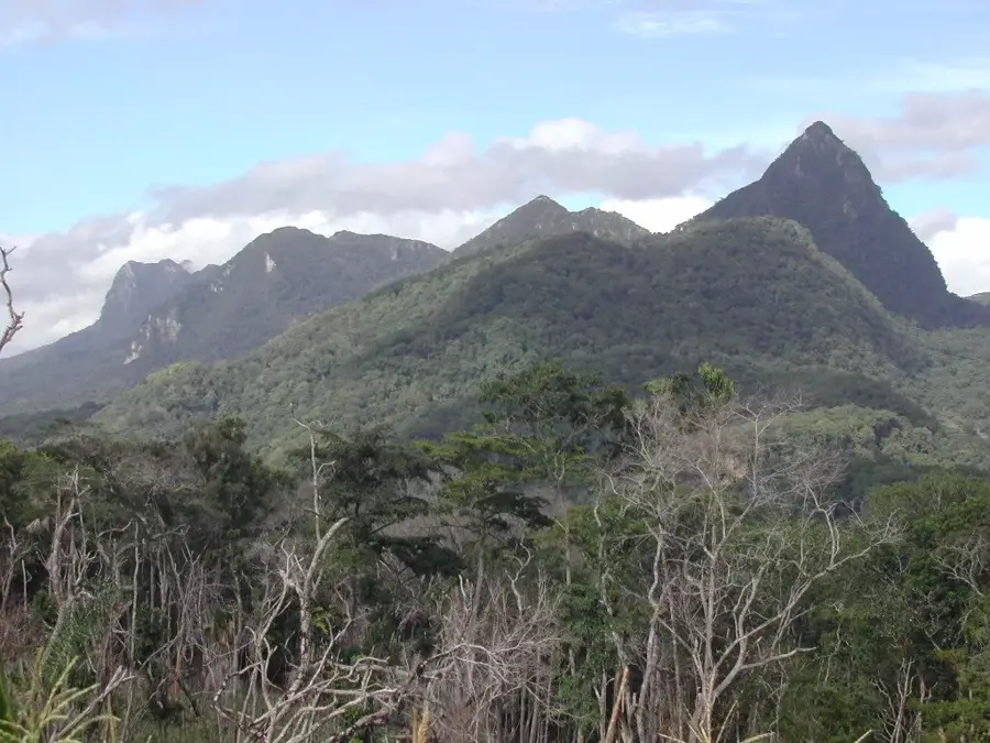
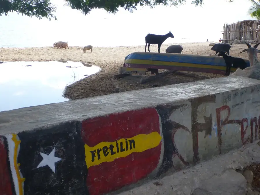
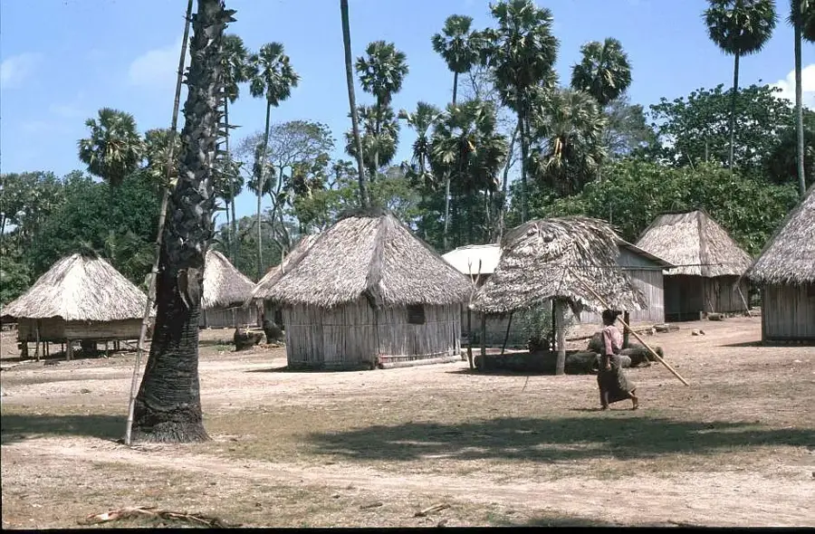
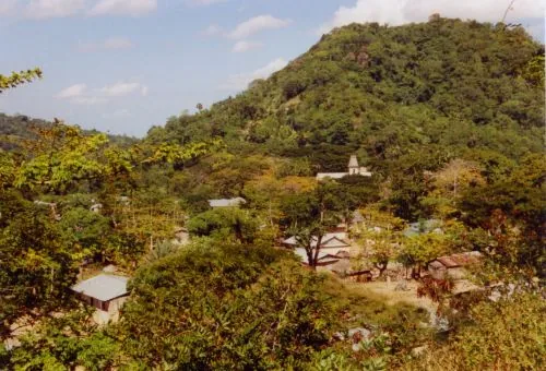
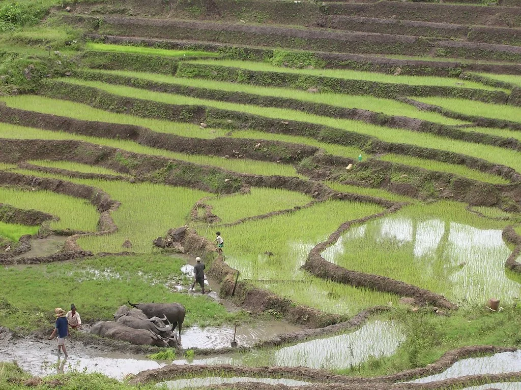
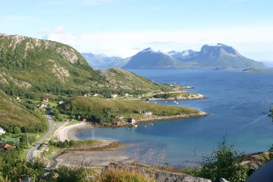
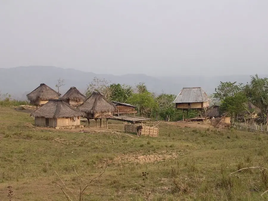
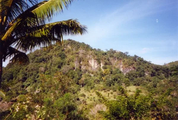
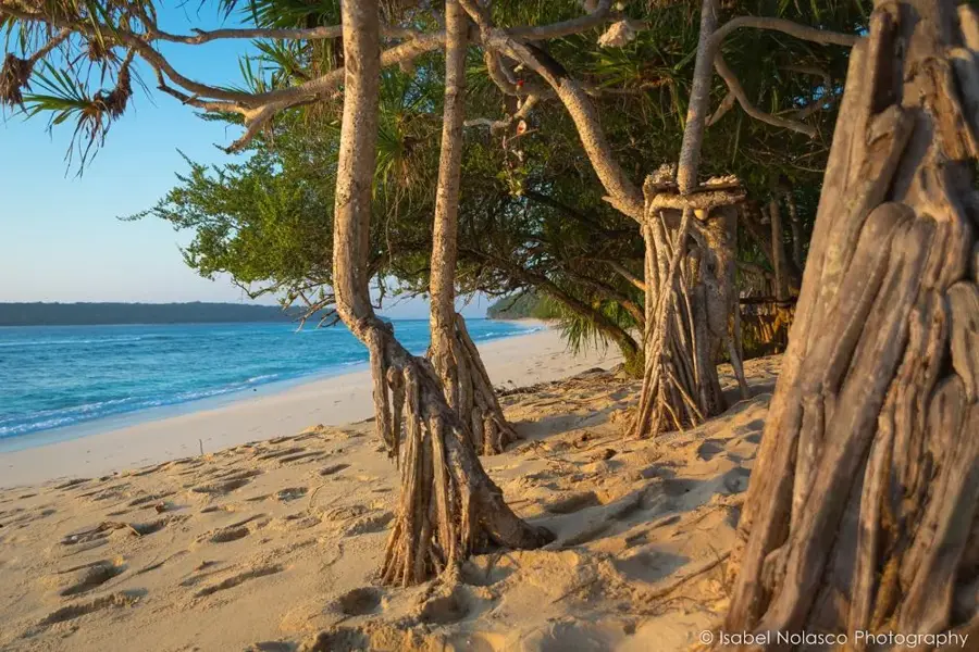
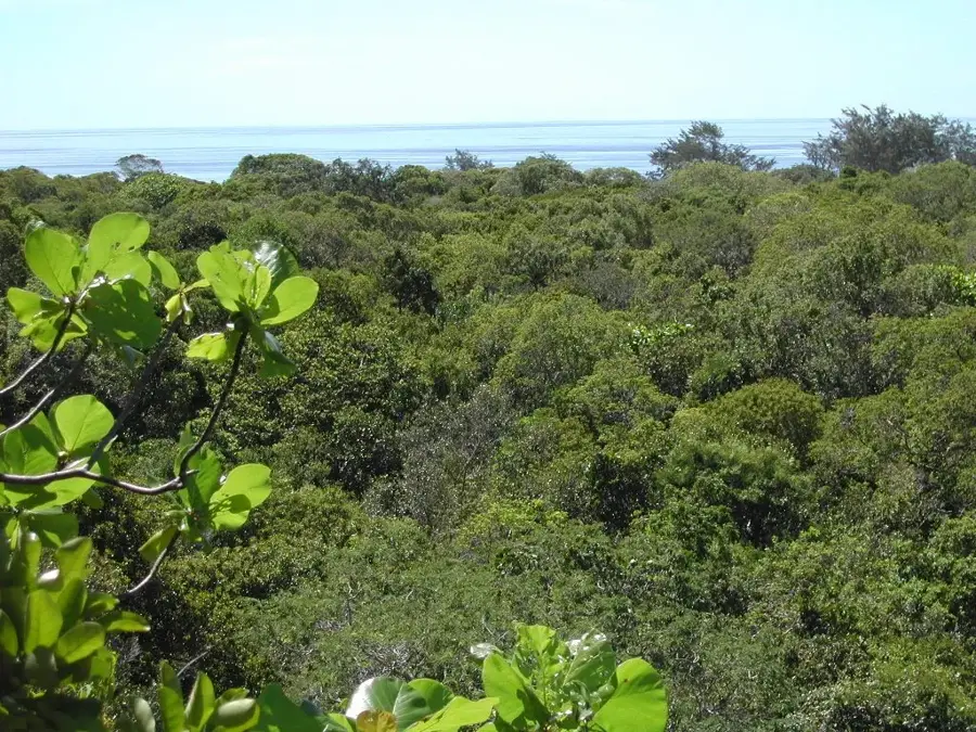
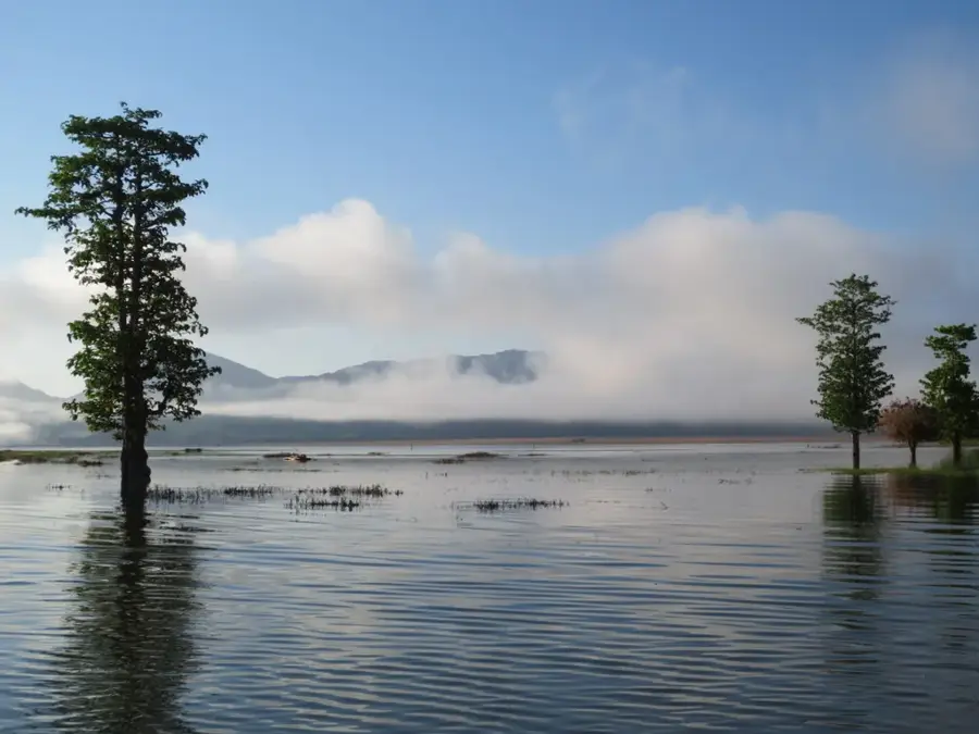
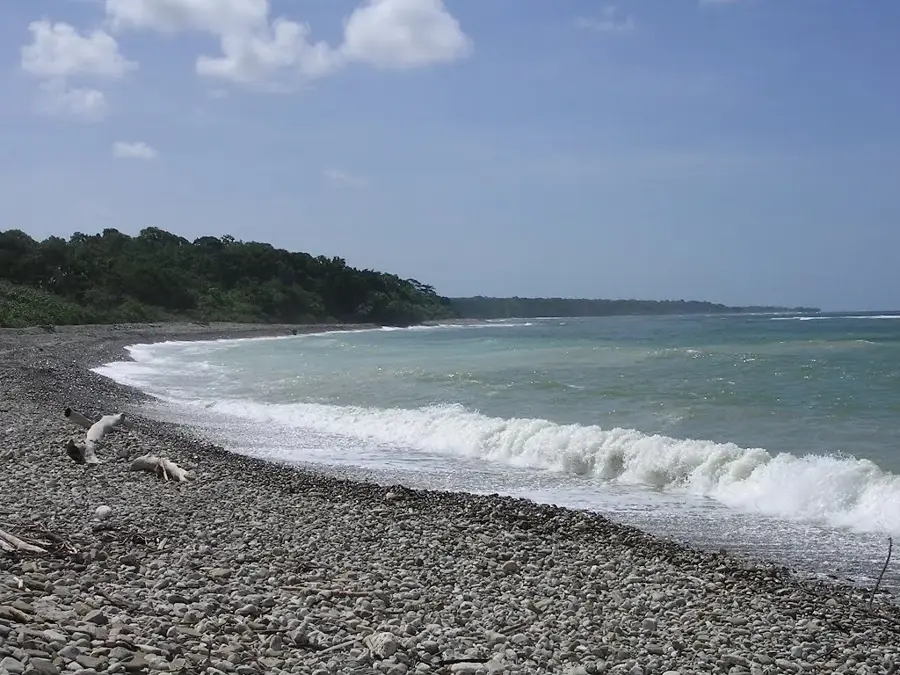
Nino Konis Santana National Park is Timor-Leste's first national park, established in 2007 to protect the country's unique natural and cultural heritage. Spanning 1,236 square kilometers in the eastern Lautém municipality, the park encompasses significant terrestrial forests and expansive marine protected areas. Named after the national resistance leader Nino Konis Santana, the park reflects the deep connection between the land and the struggle for independence. It is a biodiversity hotspot, featuring tropical rainforests, pristine coral reefs, and Lake Ira Lalaro, the nation's largest freshwater body. The park is home to over 200 bird species, including several endemics, and provides vital nesting grounds for endangered sea turtles. Culturally, the area is rich with prehistoric rock art and sacred sites belonging to the Fataluku people. Current management strategies focus on community-led conservation and sustainable ecoturism to benefit local residents. Major highlights for visitors include the remote beaches of Tutuala and the uninhabited Jaco Island, which is held as sacred by the local community.
- Location: Timor-Leste
- Nearby: Tutuala (8 km)
Best time to visit & climate
The most pleasant time to visit is Jul–Sep.
| Jan | Feb | Mar | Apr | May | Jun | Jul | Aug | Sep | Oct | Nov | Dec | |
|---|---|---|---|---|---|---|---|---|---|---|---|---|
| Avg °C | 28 | 28 | 28 | 28 | 27 | 26 | 26 | 26 | 27 | 28 | 29 | 29 |
| Rain mm | 203 | 162 | 118 | 63 | 51 | 29 | 13 | 5 | 5 | 10 | 46 | 145 |
📋 Practical info
Geography
Facts
- The park was officially established by government decree on August 3, 2007
- It covers a total area of approximately 1,236 km2 of land and sea
- Jaco Island at the park's eastern tip remains strictly uninhabited and sacred
- More than 200 bird species have been recorded within the park boundaries
- Prehistoric rock art in the Tutuala area dates back over 30,000 years
- The park is part of the 'Coral Triangle,' boasting immense marine diversity
Explore nearby
Notable places around
Route planner — Car & Motorhome
Where do you start? We build the route here, with stops and country notes along the way.
© OpenStreetMap contributors · OpenRouteService
Sights in the town Nino Konis Santana National Park (1)
Sights nearby
Frequently asked questions
What is the highlight of Nino Konis Santana National Park?
Are there camping opportunities there?
Is the park well-accessible?
What is the best season to visit?
Do you have to pay admission for the park?
Nino Konis Santana National Park: where is it located?
Nino Konis Santana National Park: when is the best time to visit?
Nino Konis Santana National Park: why is it worth visiting?

Nearby cities
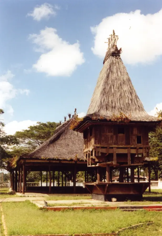
History & landmarks

Nature
More places