Plizio Visual Lab
Fuiloro Plateau Farming

Weather…
Water temperature…
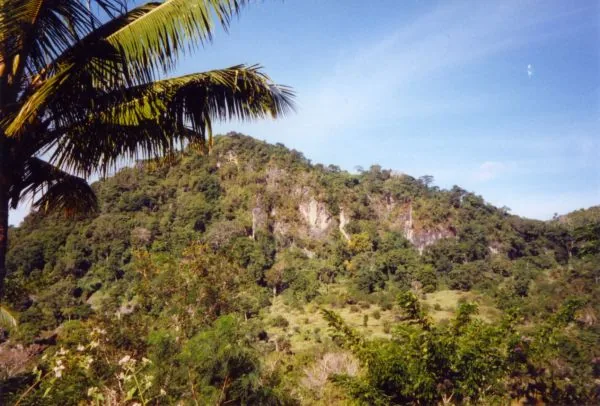
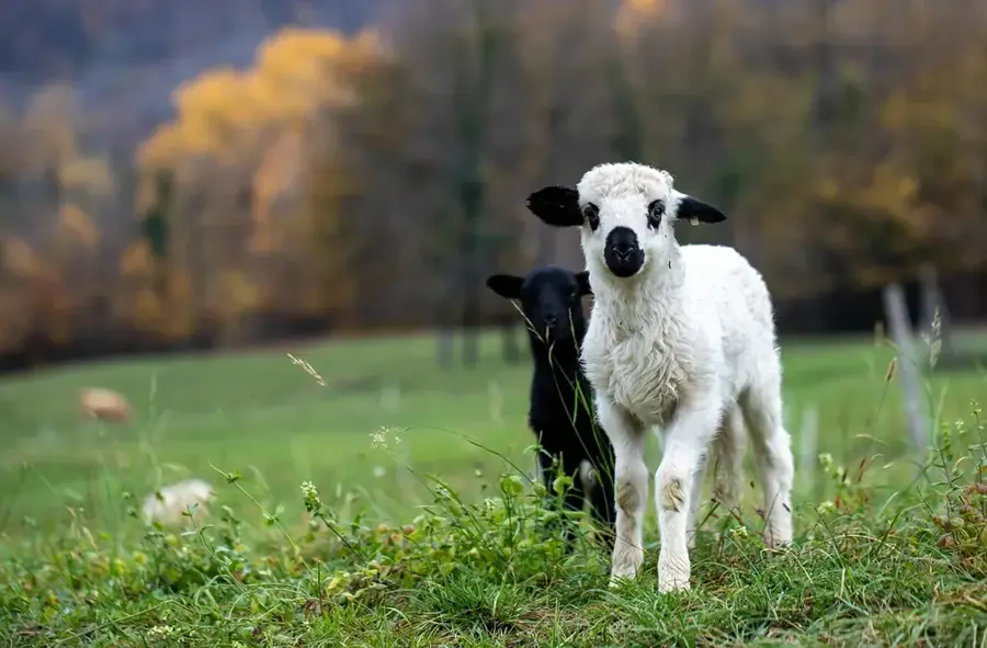
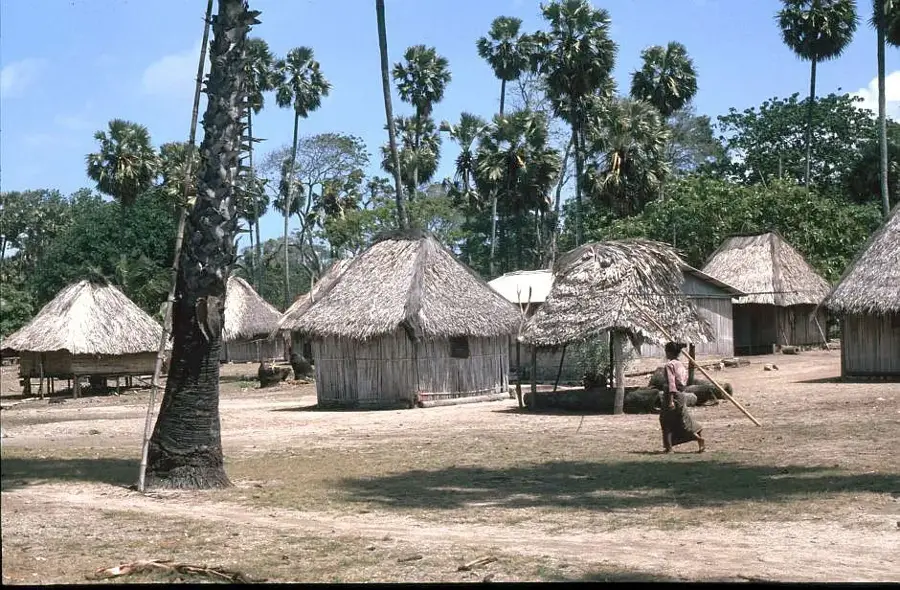
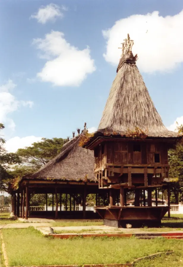
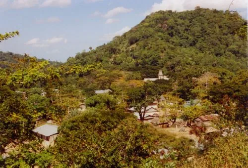
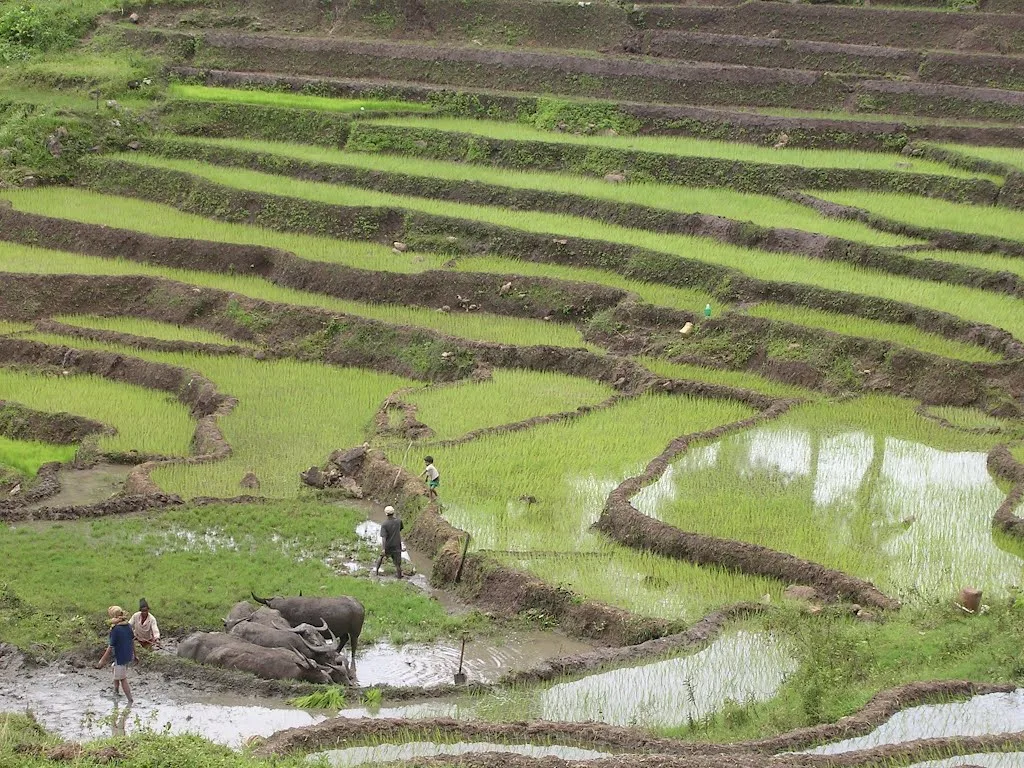
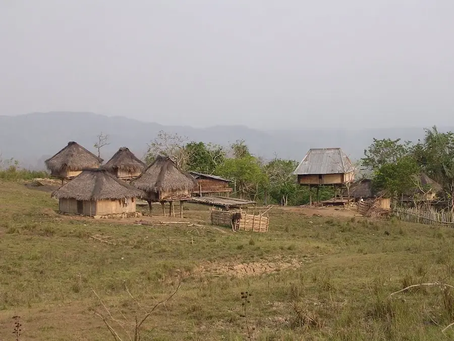
The Fuiloro Plateau in Lautém municipality is one of Timor-Leste's most vital agricultural heartlands, situated in the eastern part of the country. Geographically, it is an extensive limestone plateau at an elevation of approximately 500 meters, featuring a cooler climate and vast grasslands. The region is the primary center for the nation's livestock industry, with large herds of cattle and water buffalo grazing across its open plains. In addition to animal husbandry, the plateau is a major producer of maize, rice, and various vegetables, benefiting from its fertile soil conditions. A historical landmark of the area is the Don Bosco Agricultural School, established in the 1950s, which remains a key institution for rural education and technical training. The plateau is also culturally significant as the home of the Fataluku people, whose distinctive high-roofed sacred houses (Lulik) characterize the landscape. Modern irrigation projects have recently been implemented to boost crop yields and ensure production during the dry season. It is widely regarded as the 'breadbasket' of the east, essential for the country's food security and rural economy.
- Location: Timor-Leste
- Top sights: Portuguese Fort · Traditional houses · Igreja Iralafai
- Nearby: Lospalos (8 km)
Best time to visit & climate
The most pleasant time to visit is Jul–Sep.
| Jan | Feb | Mar | Apr | May | Jun | Jul | Aug | Sep | Oct | Nov | Dec | |
|---|---|---|---|---|---|---|---|---|---|---|---|---|
| Avg °C | 28 | 28 | 28 | 28 | 27 | 26 | 26 | 26 | 27 | 28 | 29 | 29 |
| Rain mm | 203 | 162 | 118 | 63 | 51 | 29 | 13 | 5 | 5 | 10 | 46 | 145 |
📋 Practical info
Geography
Facts
- The plateau sits at an average elevation of 500 meters above sea level
- The Don Bosco Agricultural School in Fuiloro was founded in 1954
- The region primarily specializes in the breeding of Bali cattle
- Limestone-based soils provide excellent natural drainage for agriculture
- Fuiloro is renowned for the unique sacred stilt houses of the Fataluku
- Average annual temperatures are notably cooler than in the capital, Dili
Explore nearby
Notable places around
Route planner — Car & Motorhome
Where do you start? We build the route here, with stops and country notes along the way.
© OpenStreetMap contributors · OpenRouteService
Sights in the town Fuiloro Plateau Farming (3)
Sights nearby
Frequently asked questions
What characterizes the Fuiloro Plateau?
Can you visit the farms?
What products are grown there?
Do you need an off-road vehicle?
Is the plateau a good area for hiking?
Fuiloro Plateau Farming: where is it located?
Fuiloro Plateau Farming: what is there to see?
Fuiloro Plateau Farming: when is the best time to visit?
Fuiloro Plateau Farming: why is it worth visiting?

Nearby cities
History & landmarks


Nature
More places