Plizio Visual Lab
Engaruka Ruins
Weather…
Water temperature…
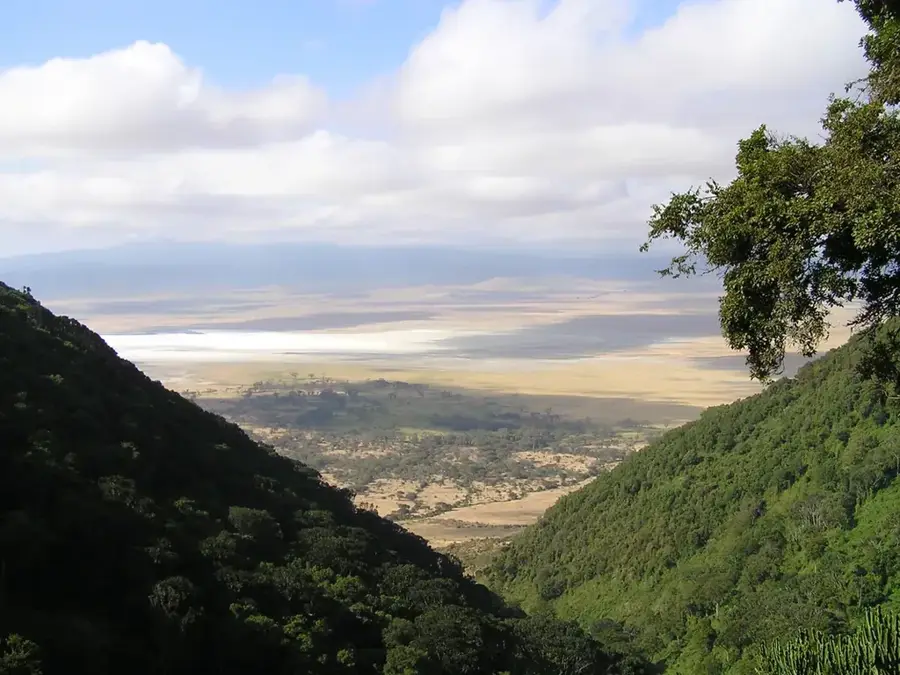
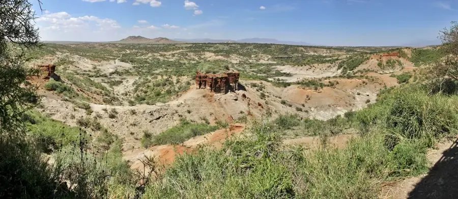
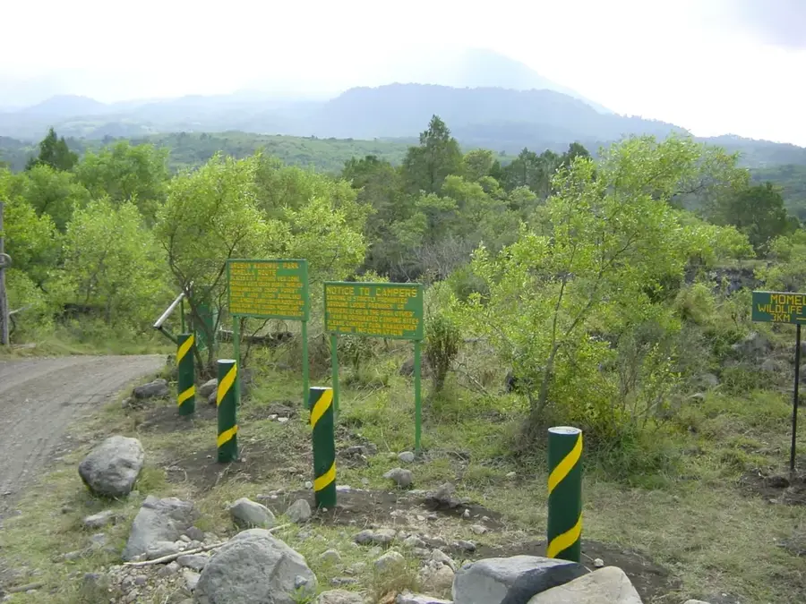
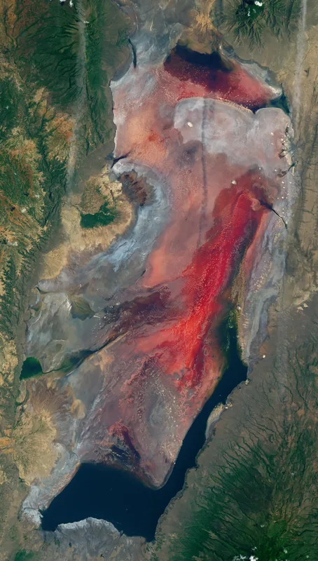
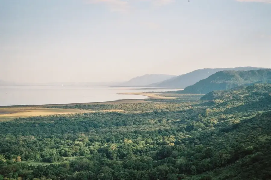
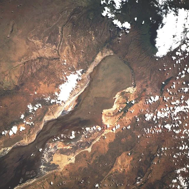
The Engaruka Ruins at the foot of the Great Rift Valley are the remains of a highly sophisticated agrarian civilization that flourished between the 15th and 18th centuries. The site is renowned for its complex system of terraced fields and stone-lined irrigation canals, which once supported a population of several thousand people. This ingenious water management system utilized streams from the Ngorongoro Highlands to make the arid plains fertile. Covering approximately 2,000 hectares, the settlement stands as an impressive example of pre-colonial African engineering. The reasons for the city's abandonment, whether due to drought, social conflict, or ecological shifts, remain an archaeological mystery. Today, the stone walls and canals are still clearly visible, providing researchers with vital data on the history of agriculture and land use in East Africa.
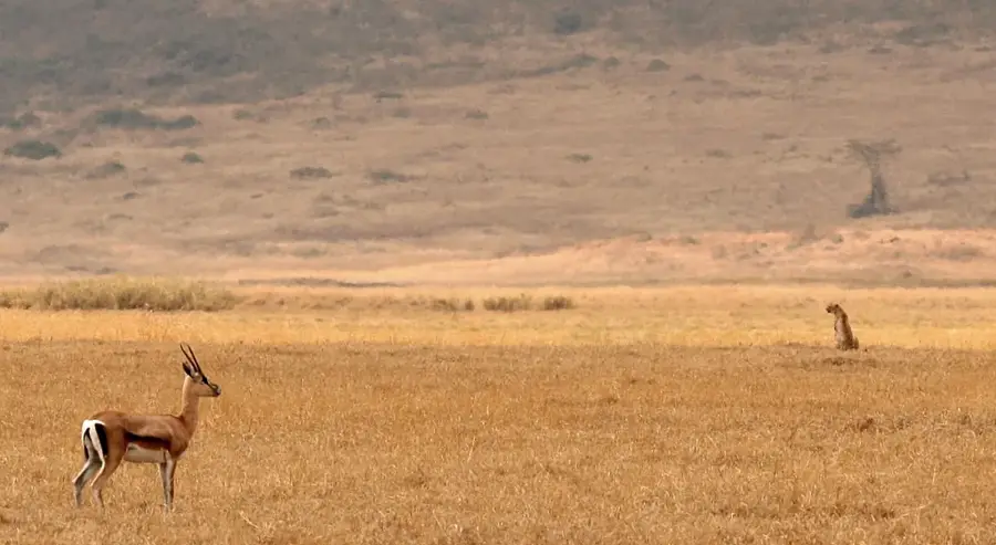
- Location: Tanzania
- Top sights: Beacon & Tree · Cattle · Center of Juu & Irendeni & Oldonelengia
- Nearby: Empakaai Crater (21 km)
Best time to visit & climate
The most pleasant time to visit is Jun–Aug.
| Jan | Feb | Mar | Apr | May | Jun | Jul | Aug | Sep | Oct | Nov | Dec | |
|---|---|---|---|---|---|---|---|---|---|---|---|---|
| Avg °C | 23 | 23 | 23 | 22 | 21 | 20 | 20 | 21 | 23 | 24 | 23 | 23 |
| Rain mm | 93 | 69 | 110 | 137 | 66 | 9 | 3 | 7 | 11 | 48 | 110 | 113 |
📋 Practical info
Geography
Facts
- Peak of the settlement occurred between the 15th and 18th centuries
- Complex irrigation system covering over 2,000 hectares of land
- Estimated population was between 7,000 and 10,000 people
- Stone walls and terraces are visible across several kilometers
- Water was sourced from the highlands of the Ngorongoro area
- Located in the Monduli District, Arusha Region, northern Tanzania
Explore nearby
Notable places around
Route planner — Car & Motorhome
Where do you start? We build the route here, with stops and country notes along the way.
© OpenStreetMap contributors · OpenRouteService
Sights in the town Engaruka Ruins (3)
Sights nearby
Frequently asked questions
How to reach the ruins?
Is water available?
Is a guide necessary?
Is there an optimal season?
What is nearby?
Engaruka Ruins: where is it located?
Engaruka Ruins: what is there to see?
Engaruka Ruins: when is the best time to visit?
Engaruka Ruins: why is it worth visiting?

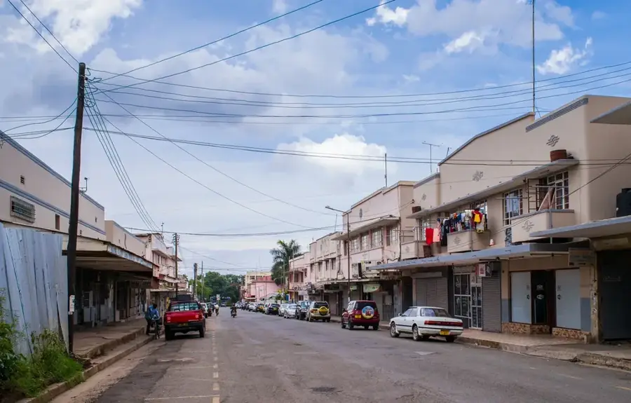
Nearby cities
History & landmarks


Nature
More places