Plizio Visual Lab
Piz d'Artgas South

Weather…
Water temperature…
Piz d'Artgas South is a mountain peak in the Lukmanier Pass region of the Adula Alps, standing at approximately 3,037 meters. Located south of the main Piz d'Artgas summit, it lies within the canton of Graubünden. The terrain is characterized by rugged rock formations and steep scree slopes, typical of the central Rhaetian Alps. Geologically, the mountain is composed of a mix of crystalline rocks and sediments from the Adula nappe. The summit provides outstanding views over the Lai da Sontga Maria reservoir and Val Medel. Reaching the peak is challenging and often involves navigating pathless terrain, making it a goal for experienced mountaineers. Historically, the area was mapped early due to its proximity to the Lukmanier Pass, a vital north-south crossing point. Today, Piz d'Artgas South remains a place of solitude, rarely visited and preserving its wild character.
- Location: Switzerland
- Top sights: Viamalaschlucht · Zwölfihorn · Eishorn
- Nearby: Savognin (16 km)
Best time to visit & climate
The most pleasant time to visit is Jun–Aug.
| Jan | Feb | Mar | Apr | May | Jun | Jul | Aug | Sep | Oct | Nov | Dec | |
|---|---|---|---|---|---|---|---|---|---|---|---|---|
| Avg °C | -10 | -9 | -5 | 0 | 5 | 10 | 11 | 11 | 7 | 3 | -3 | -8 |
| Rain mm | 64 | 55 | 73 | 98 | 142 | 148 | 143 | 166 | 110 | 114 | 122 | 77 |
📋 Practical info
Geography
Facts
- The elevation of Piz d'Artgas South is approximately 3,037 meters.
- It is located near the Lukmanier Pass.
- Geologically, the mountain is part of the Adula nappe.
- The summit provides panoramic views of the Medel massif.
- The ascent is technically demanding and often pathless.
- The region serves as an important catchment area for the Rhine river.
Explore nearby
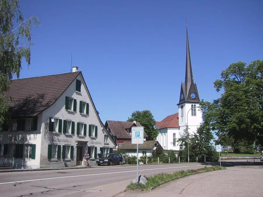
Notable places around
Route planner — Car & Motorhome
Where do you start? We build the route here, with stops and country notes along the way.
© OpenStreetMap contributors · OpenRouteService
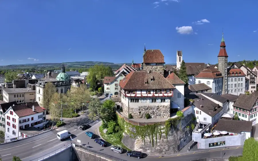
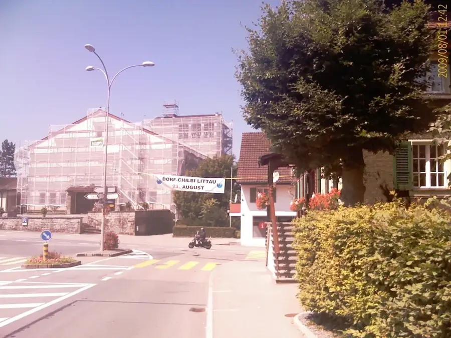
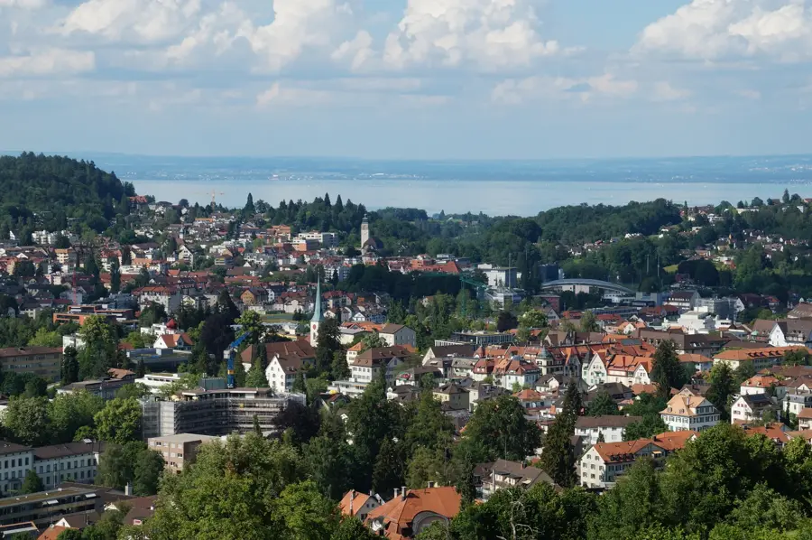
Sights in the town Piz d'Artgas South (3)
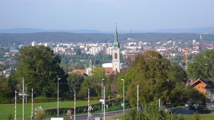
Sights nearby
Frequently asked questions
How difficult is the ascent?
What is the best time for a hike?
Are there marked hiking trails?
What should you definitely take with you?
Are there places to eat along the way?
Piz d'Artgas South: where is it located?
Piz d'Artgas South: what is there to see?
Piz d'Artgas South: when is the best time to visit?
Piz d'Artgas South: why is it worth visiting?

Nearby cities