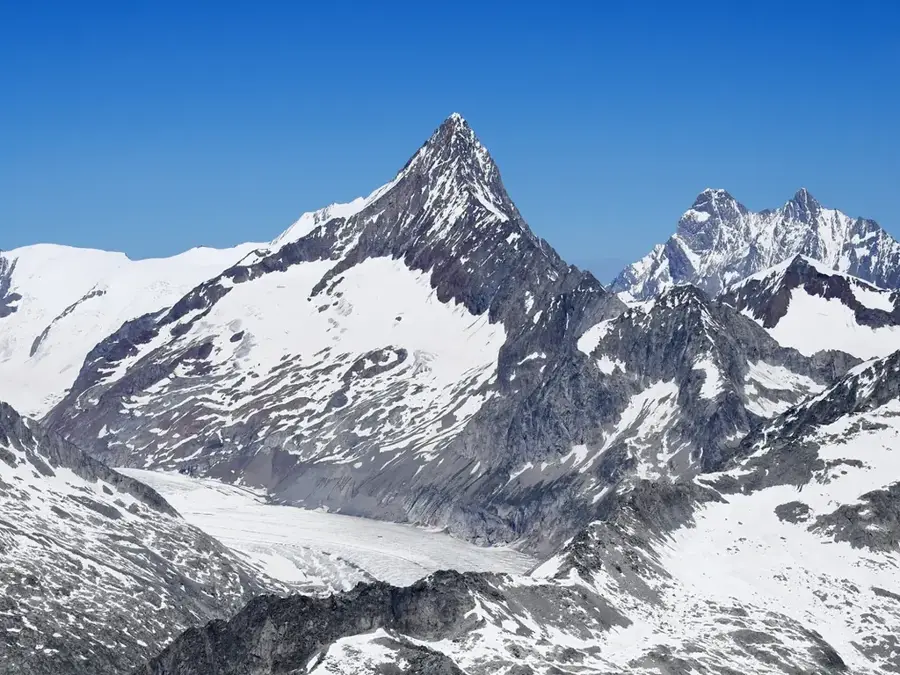
Plizio Visual Lab

Finsteraarhorn

Plizio editorial teamData Sources
peak
—°3
Finsteraarhorn (Switzerland)

Weather…

At 4,274 meters, the Finsteraarhorn is the highest peak in the Bernese Alps and the highest mountain in Switzerland outside of the Valais range. It is situated on the border between the cantons of Bern and Valais, within the heart of the UNESCO World Heritage Jungfrau-Aletsch region. The mountain is characterized by its sharp, pyramidal shape and its dark rock faces, which give it a formidable and commanding appearance. The history of its first ascent is debated: Rudolf Meyer claimed success in 1812, but the 1829 ascent by Jakob Leuthold and Johann Währen is the first fully verified one. Geologically, the massif is part of the Aar Massif, composed primarily of granite and metamorphic sediments. Due to its remote location in the middle of the Alps' largest glaciated area, reaching the Finsteraarhorn requires long approaches over extensive ice fields. The summit features one of the most extensive panoramas in the Alps, stretching from the Black Forest in Germany to the peaks of Italy.

Best time to visit & climate

The most pleasant time to visit is Jun–Aug.

JanFebMarAprMayJunJulAugSepOctNovDec
Avg °C-8-8-41610121284-2-7
Rain mm81698910315415114816510610711492

📋 Practical info

🧭
Getting there
The Finsteraarhorn is very remote and usually only accessible via the Finsteraarhorn Hut, requiring a long glacier approach across challenging terrain. Mountaineers typically start their ascent from Jungfraujoch or Fiesch, and high-alpine technical skills are strictly mandatory for safety.
📅
Best season
The main climbing season is between July and September when rock and firn conditions are most stable for high-altitude ascents. For ski mountaineers, late spring from March to May often provides well-suited conditions, provided that the avalanche situation allows for a safe passage.
⛰️
Terrain & paths
The terrain consists of extensive glaciers, steep firn flanks, and demanding rock ridge passages graded between PD+ and AD. Hikers will not find simple trails here; the environment is strictly high-alpine, dominated by ice, snow, and rugged granite faces throughout.
🎒
What to bring
A full mountaineering kit is essential: crampons, ice axe, harness, rope, and a helmet are part of the basic equipment. Additionally, extremely weather-resistant clothing and protection against intense UV radiation are necessary due to the altitude and snow reflection.
🅿️
Parking
There are no parking facilities directly at the mountain; vehicles must be left in public parking garages in the valley towns of Grindelwald or Fiesch. From there, the journey continues by cable cars followed by multi-day treks on foot across glaciated high-alpine terrain.
⚠️
Safety
Crevasses, rockfall, and sudden weather changes pose significant hazards, which is why an ascent is often only advisable with a certified mountain guide. The altitude of over 4,000 meters also requires proper acclimatization to avoid symptoms of acute mountain sickness.
⏱️
Time needed
An ascent typically takes 2 to 3 days, with an overnight stay at the Finsteraarhorn Hut being a mandatory part of the itinerary. Due to the long approach marches and technical challenges on the summit ridge, this is a time-intensive undertaking for experienced alpinists.

Geography

Coordinates
46.53000, 8.12000

Facts

  • The Finsteraarhorn is the highest peak in the Bernese Alps at 4,274 meters.
  • It lies within the largest glaciated area in Western Europe (UNESCO site).
  • The first confirmed ascent was achieved on August 10, 1829.
  • It has a massive topographic prominence of 2,279 meters.
  • The mountain is mainly composed of granite from the Hercynian basement.
  • Its name reflects the dark color of the rock and its role as the source of the Aare.
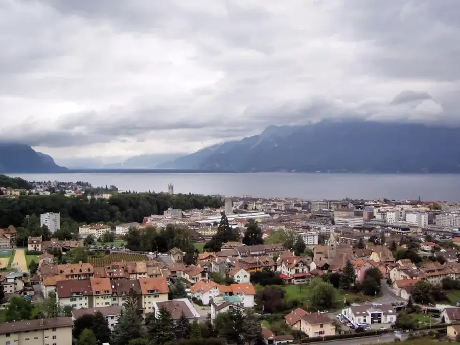
Explore nearby

Notable places around

Route planner — Car & Motorhome

Where do you start? We build the route here, with stops and country notes along the way.

Vehicle
Only stops with (optional):

© OpenStreetMap contributors · OpenRouteService

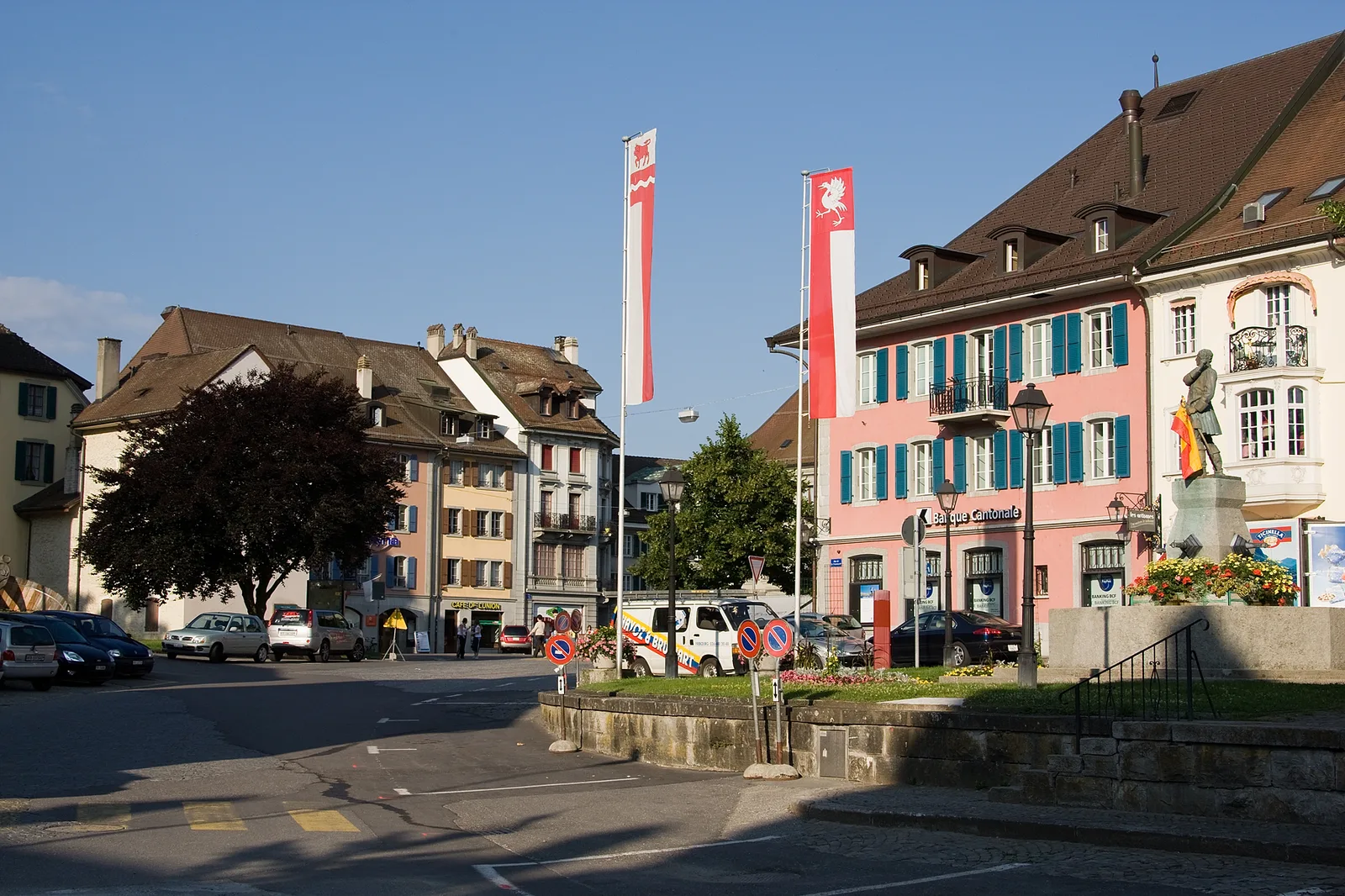
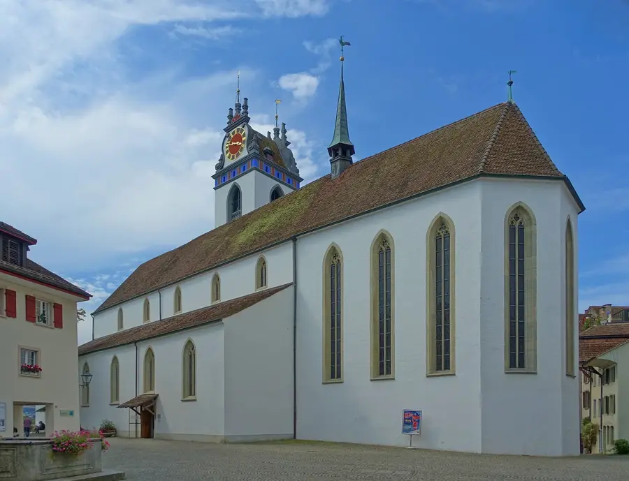
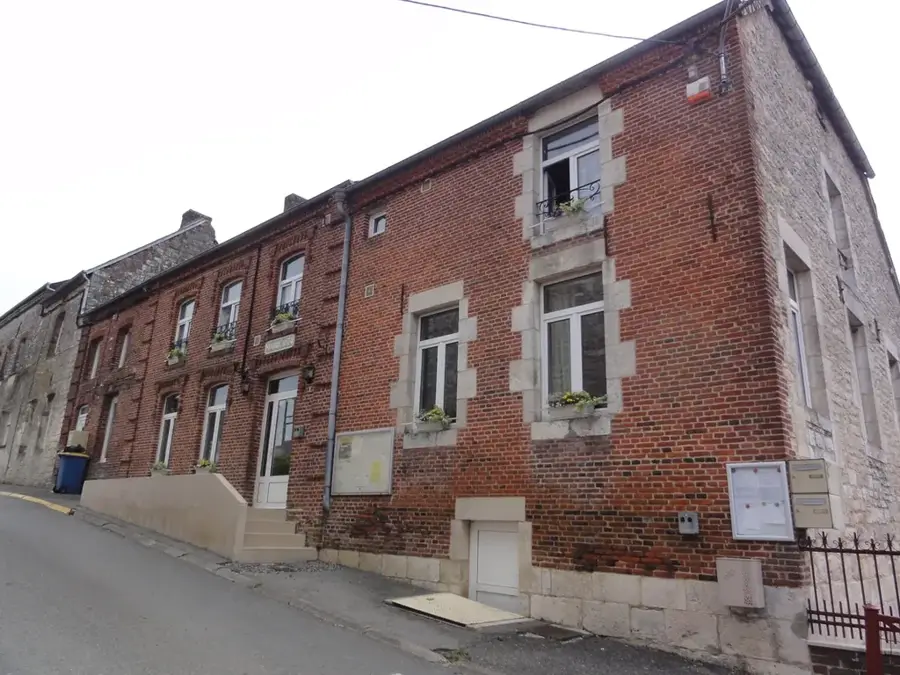
Sights in the town Finsteraarhorn (3)
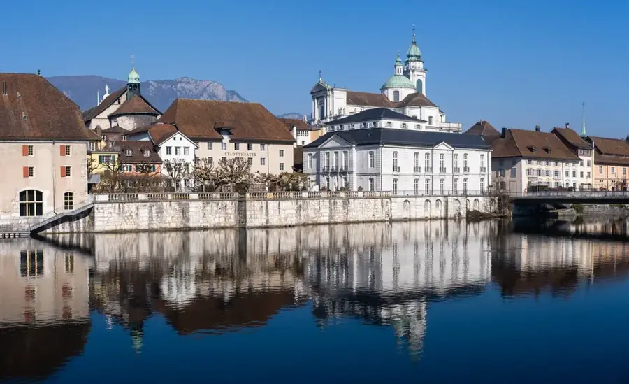
Wyssnollen📍 landmark

A prominent mountain peak in the Bernese Alps, standing at 3,590 meters.

Klein Grünhorn📍 landmark

A granite peak reaching 3,913 meters in the Finsteraarhorn mountain range.

Gross Grünhorn📍 landmark

A high alpine summit in the Bernese Alps, exceeding 4,000 meters in elevation.

Sights nearby

Frequently asked questions

What is special about the Finsteraarhorn?
At 4,274 meters, it is the highest peak in the Bernese Alps.
In which region is the mountain located?
It is located on the border between the cantons of Bern and Valais.
How is the accessibility?
It is very remote and requires long approaches over glaciers.
Is it a UNESCO World Heritage site?
Yes, it is part of the UNESCO World Heritage Swiss Alps Jungfrau-Aletsch.
Is there a serviced hut there?
The Finsteraarhorn Hut serves as an important base for climbers.
Finsteraarhorn: where is it located?
Finsteraarhorn is located in Switzerland.
Finsteraarhorn: what is there to see?
Highlights include Wyssnollen, Klein Grünhorn, Gross Grünhorn.
Finsteraarhorn: when is the best time to visit?
The most pleasant time to visit is Jun, Aug.
Finsteraarhorn: why is it worth visiting?
At 4,274 meters, the Finsteraarhorn is the highest peak in the Bernese Alps and the highest mountain in Switzerland outside of the Valais range.
View on map → The Top 50 Attractions → OpenStreetMap →
Europe
Explore with Plizio Discover more places in Europe
More places in Switzerland →

Nearby cities