Plizio Visual Lab
Unterägeri
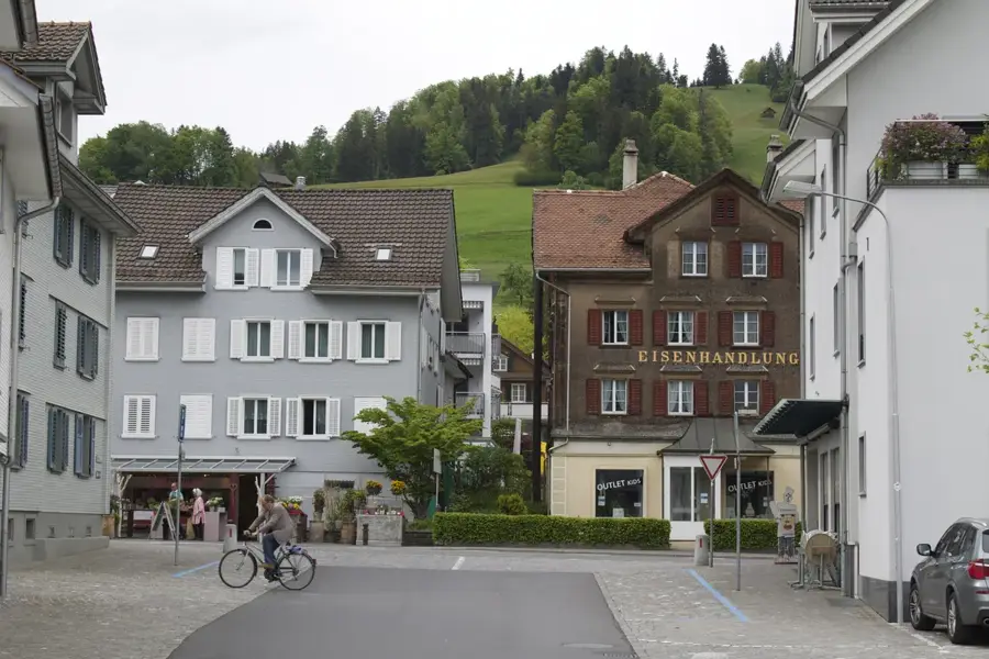
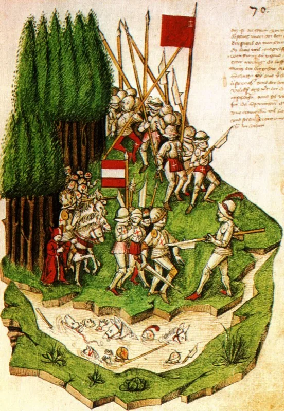
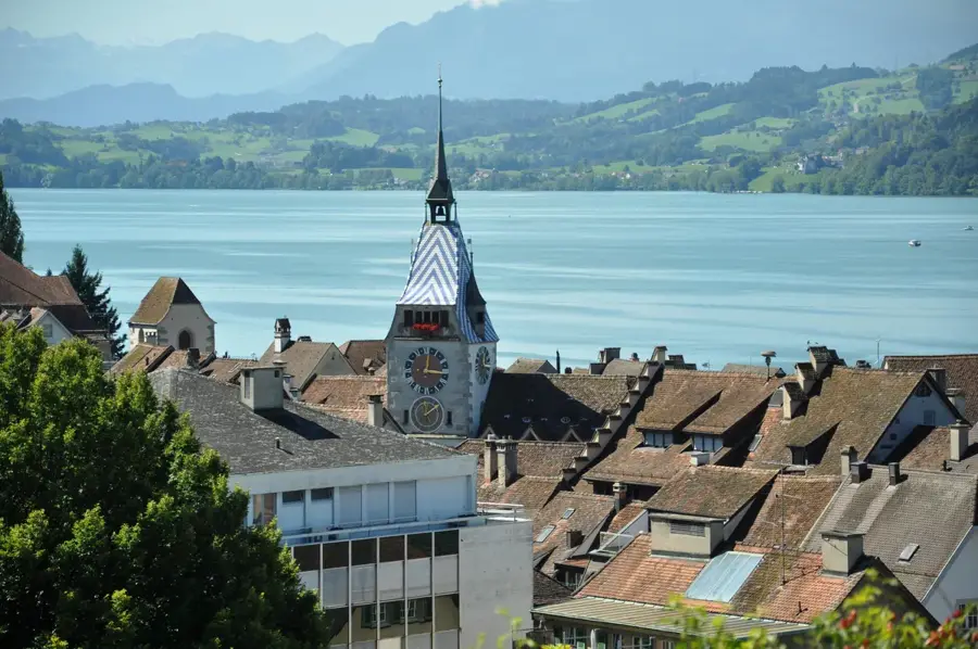
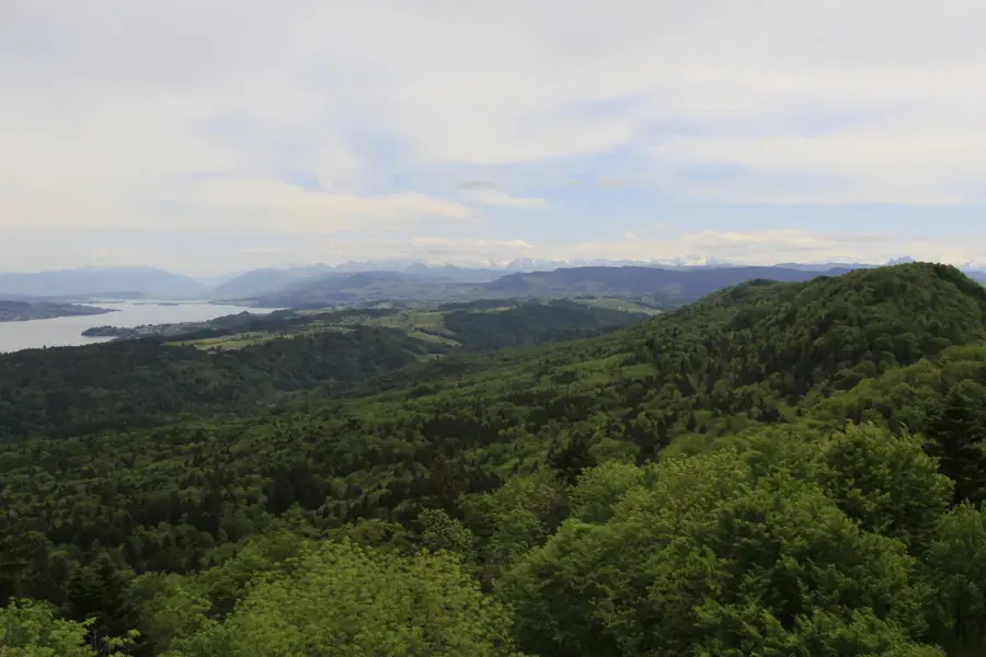
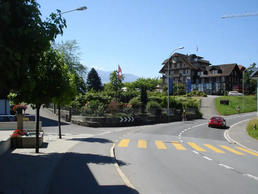
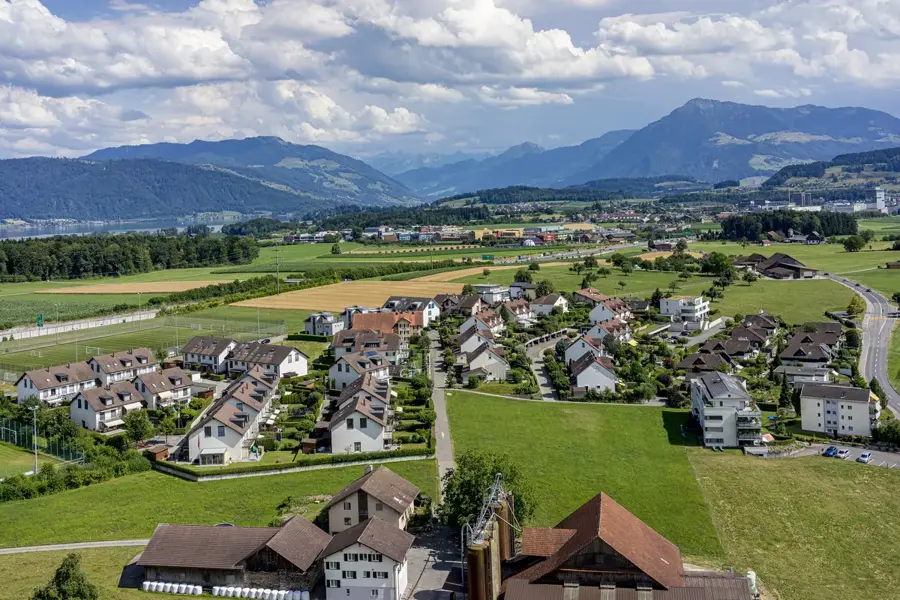
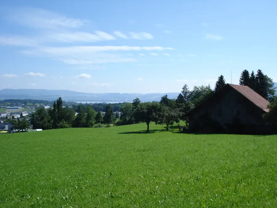
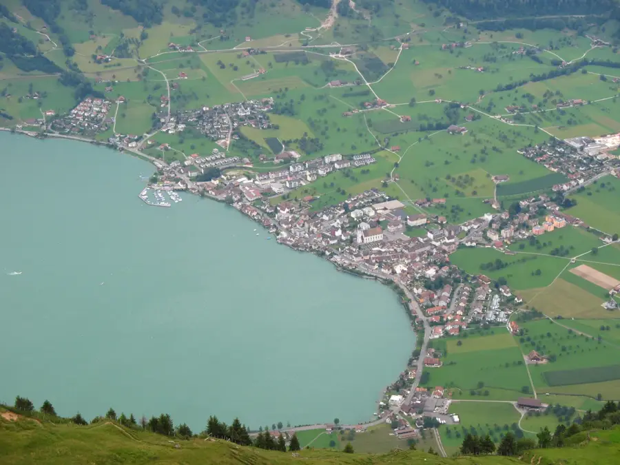
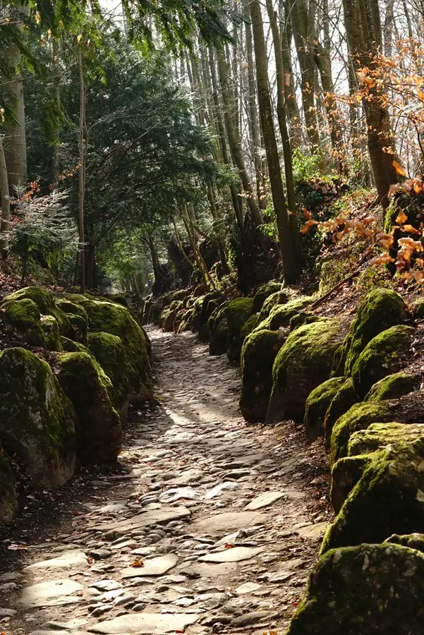
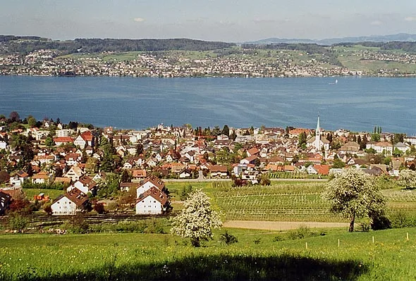
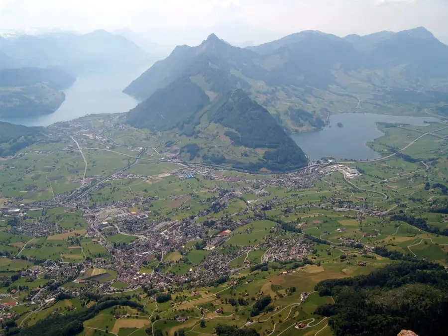
Unterägeri is located at the northwestern end of Lake Ägeri in the Canton of Zug, surrounded by the foothills of the Central Swiss Pre-Alps. The municipality is characterized by its high quality of life and great recreational value, primarily generated by the lake and the surrounding hiking areas. Historically, Unterägeri formed a single unit with Oberägeri for a long time, until the municipalities were politically separated in 1798 during the Helvetic Republic. However, the first mention of the area dates back to the 13th century. Economically, Unterägeri has evolved from an agriculturally dominated village into a modern residential location that attracts many commuters to Zug and Zurich. Nevertheless, tourism, especially day-trip tourism, plays an important role. A significant historical event in the immediate vicinity was the Battle of Morgarten in 1315, which is considered an important milestone in the history of the Swiss Confederation. The architecture in the town center combines traditional wooden houses with modern buildings. Culturally, the municipality is shaped by active club life and customs such as the Carnival (Fasnacht). Thanks to its location at over 700 meters above sea level, Unterägeri often benefits from sunny weather while the lowlands are shrouded in fog, making the town a popular destination for those seeking relaxation.
- Location: Switzerland
- Top sights: Bloodhound-Museum · Strandbad Oberägeri · Schneit
- Nearby: Zug (6 km)
- Population: ~8.819
Best time to visit & climate
The most pleasant time to visit is Jul–Sep.
| Jan | Feb | Mar | Apr | May | Jun | Jul | Aug | Sep | Oct | Nov | Dec | |
|---|---|---|---|---|---|---|---|---|---|---|---|---|
| Avg °C | -4 | -4 | 1 | 5 | 10 | 14 | 16 | 15 | 11 | 7 | 2 | -3 |
| Rain mm | 101 | 81 | 102 | 107 | 163 | 176 | 173 | 190 | 124 | 110 | 103 | 106 |
Geography
Facts
- Unterägeri is located at an elevation of 727 meters above sea level.
- The municipality was politically separated from Oberägeri in 1798.
- The area of the municipality is approximately 26.7 square kilometers.
- Lake Ägeri covers an area of around 7.2 square kilometers.
- The Battle of Morgarten took place nearby in the year 1315.
- About 30 percent of the municipal area is forested.
Explore nearby
Notable places around
Route planner — Car & Motorhome
Where do you start? We build the route here, with stops and country notes along the way.
© OpenStreetMap contributors · OpenRouteService
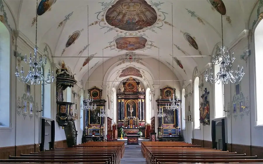
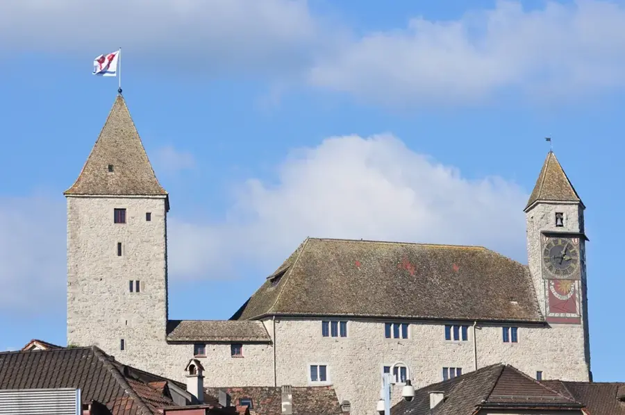
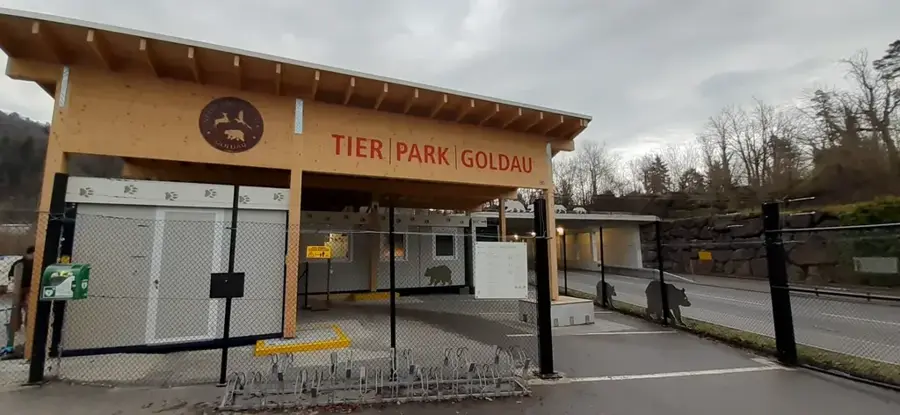
Sights in the town Unterägeri (12)
Frequently asked questions
Unterägeri: where is it located?
Unterägeri: what is there to see?
Unterägeri: when is the best time to visit?
Unterägeri: why is it worth visiting?

Nearby cities


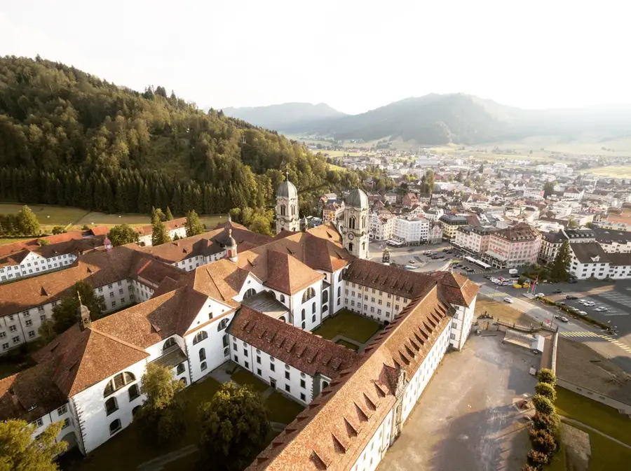

History & landmarks
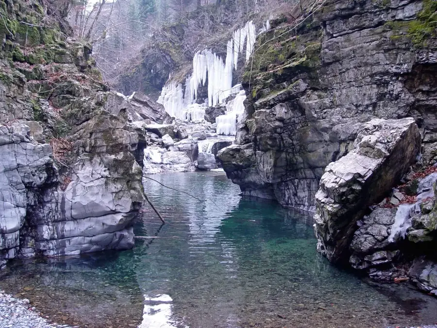
Nature
More places