Plizio Visual Lab
Ulricehamn Heights
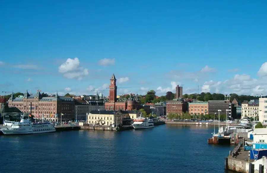
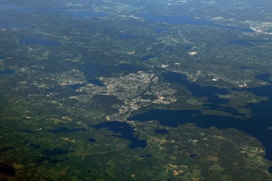
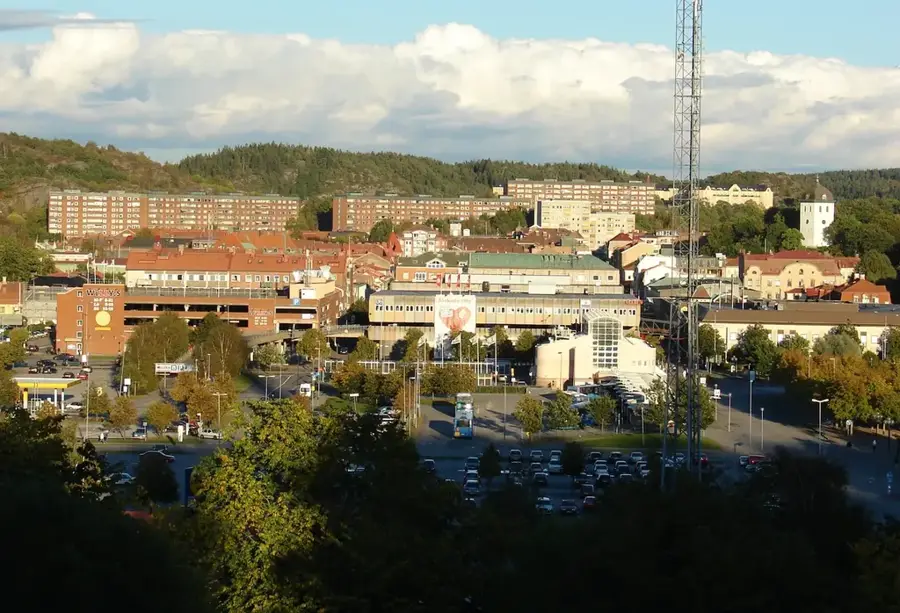
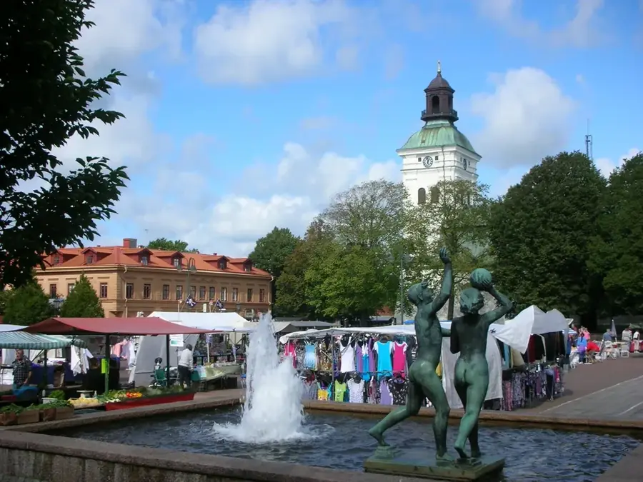
Ulricehamn Heights comprise a hilly landscape in the western part of Sweden, surrounding the town of Ulricehamn and Lake Åsunden. This relief is characterized by steep ridges and deep valleys formed by glacial activity, which deposited significant amounts of moraine material across the region. The heights reach elevations of over 300 meters above sea level, making them some of the highest points in the province of Västergötland. Due to the favorable terrain and climate, the area has developed into a major center for winter sports, featuring several ski slopes and cross-country trails that host World Cup events. Historically, the heights were used for small-scale farming and forestry, with many stone walls still visible as remnants of old property boundaries. The plateau-like summits offer expansive views over the Sjuhärad district's forested landscape and numerous smaller lakes.
- Location: Sweden
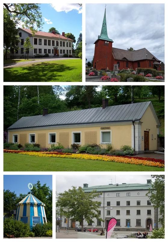
- Top sights: Kråkebo naturreservat · Varggrop · Vists kyrka
- Nearby: Borås (29 km)
Best time to visit & climate
The most pleasant time to visit is Jun–Aug.
| Jan | Feb | Mar | Apr | May | Jun | Jul | Aug | Sep | Oct | Nov | Dec | |
|---|---|---|---|---|---|---|---|---|---|---|---|---|
| Avg °C | -3 | -3 | 0 | 5 | 11 | 14 | 17 | 16 | 12 | 6 | 2 | -1 |
| Rain mm | 63 | 52 | 48 | 48 | 77 | 100 | 108 | 104 | 72 | 85 | 75 | 70 |
📋 Practical info
Geography
Facts
- Elevations exceeding 300 meters above sea level
- Located by the 33 sq km Lake Åsunden
- Major winter sports center in southern Sweden
- Moraine deposits from the Weichsel glaciation
- Part of the historical Sjuhärad region
- Host to FIS Cross-Country World Cup events
Explore nearby
Notable places around
Route planner — Car & Motorhome
Where do you start? We build the route here, with stops and country notes along the way.
© OpenStreetMap contributors · OpenRouteService
Sights in the town Ulricehamn Heights (6)
Sights nearby
Frequently asked questions
What is Ulricehamn known for?
How high are the hills there?
Are there bike paths there?
Is the place family-friendly?
When do ski competitions take place there?
Ulricehamn Heights: where is it located?
Ulricehamn Heights: what is there to see?
Ulricehamn Heights: when is the best time to visit?
Ulricehamn Heights: why is it worth visiting?

Nearby cities