Plizio Visual Lab
Taberg
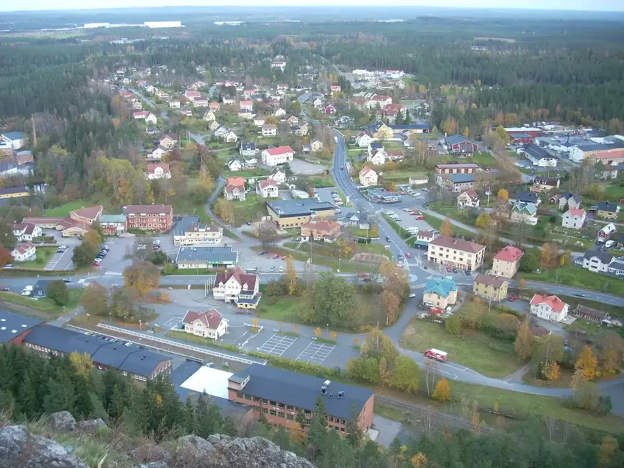
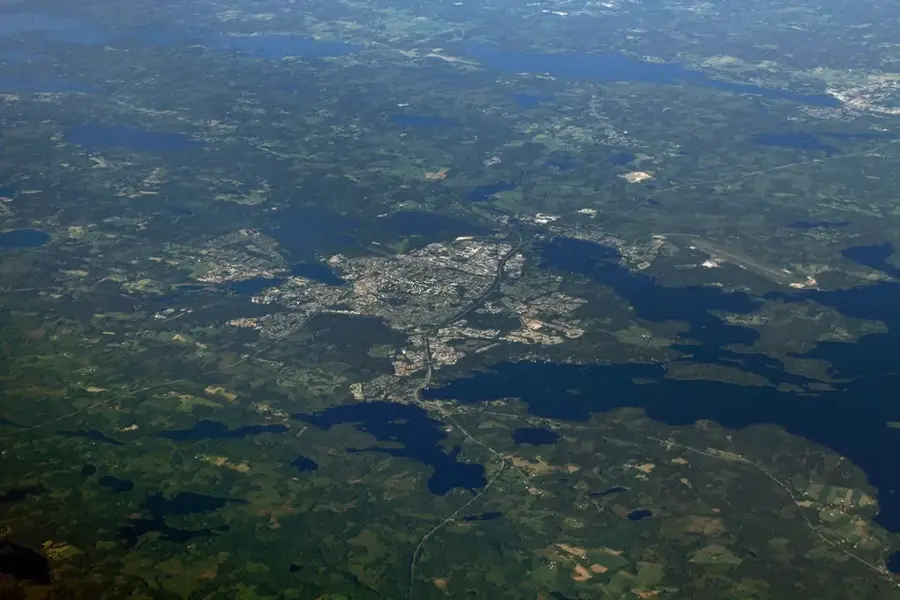
Taberg is a prominent mountain in northern Småland, rising 343 meters above sea level and 121 meters above the surrounding landscape near Jönköping. Geologically, the mountain is unique for being composed of magnetite-olivinite, a rare titaniferous iron ore that is found in significant quantities only here and in one location in Russia. Iron mining at Taberg dates back to the 15th century and was a cornerstone of the regional economy for centuries until commercial operations ceased in the 20th century. Today, the area is a protected nature reserve, home to rare plant species like the spleenwort fern Asplenium adulterinum, which thrives on the mineral-rich substrate. The mountain's extensive network of abandoned mine shafts now provides a critical wintering habitat for nine different species of bats. Visitors can reach the summit via hiking trails to enjoy expansive views of the dense Småland forests and nearby Lake Vättern.
- Location: Sweden
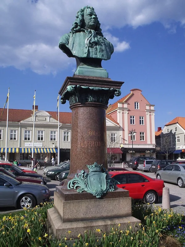
- Top sights: Tabergs gruva · Industrimuseet i Norrahammar · Trälastenen
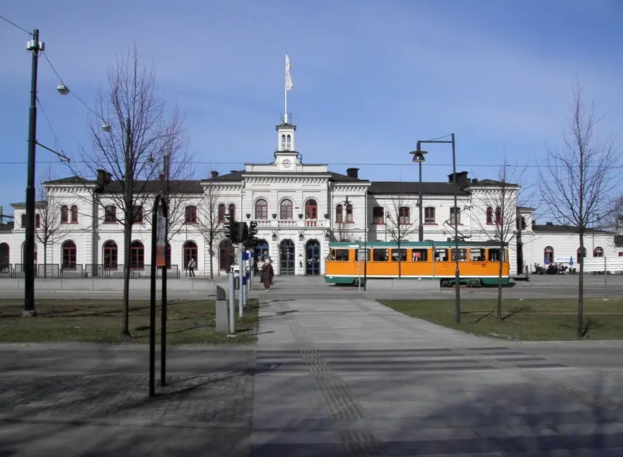
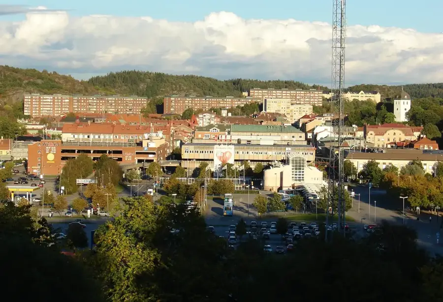
- Nearby: Nässjö (37 km)
Best time to visit & climate
The most pleasant time to visit is Jun–Aug.
| Jan | Feb | Mar | Apr | May | Jun | Jul | Aug | Sep | Oct | Nov | Dec | |
|---|---|---|---|---|---|---|---|---|---|---|---|---|
| Avg °C | -3 | -2 | 0 | 6 | 11 | 14 | 17 | 16 | 12 | 7 | 3 | -1 |
| Rain mm | 69 | 56 | 51 | 48 | 73 | 97 | 108 | 105 | 75 | 91 | 80 | 78 |
📋 Practical info
Geography
Facts
- The summit reaches an elevation of 343 meters above sea level.
- The mountain is composed of the extremely rare rock magnetite-olivinite.
- Industrial iron ore mining at Taberg began as early as 1445.
- The area was designated as a state nature reserve in 1985.
- Nine different species of bats use the old mine shafts for hibernation.
- Home to the rare spleenwort fern Asplenium adulterinum, a botanical rarity.
Explore nearby
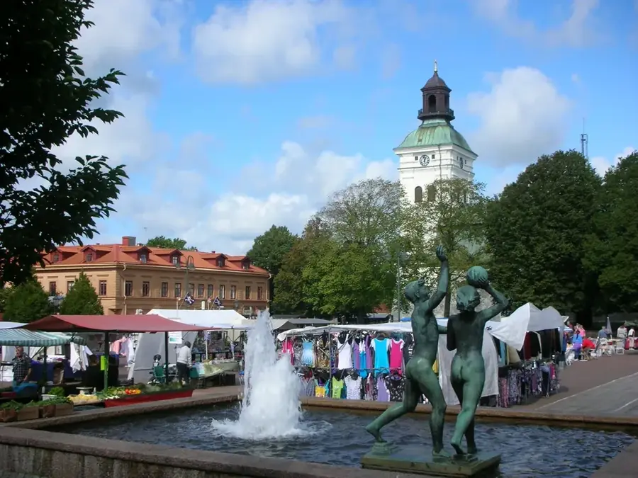
Notable places around
Route planner — Car & Motorhome
Where do you start? We build the route here, with stops and country notes along the way.
© OpenStreetMap contributors · OpenRouteService
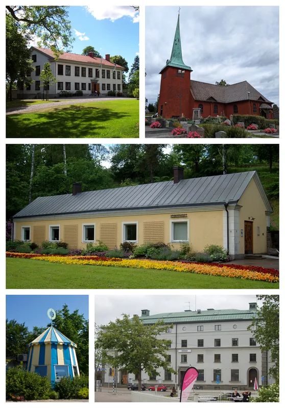
Sights in the town Taberg (8)
Tabergstopp📍 landmark
The summit of Mount Taberg, offering panoramic views of the area.
Sights nearby
Frequently asked questions
What makes Taberg so special?
Can you visit the mine?
What can you do at the summit?
Are there rare plants on Taberg?
How high is the mountain?
Taberg: where is it located?
Taberg: what is there to see?
Taberg: when is the best time to visit?
Taberg: why is it worth visiting?

Nearby cities