Plizio Visual Lab
Kullaberg
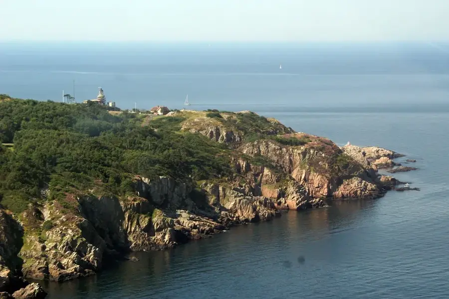
Kullaberg is a rugged peninsula and nature reserve in northwestern Scania, characterized by steep cliffs that drop sharply into the Öresund and Kattegat seas. The geological formation is a horst primarily composed of gneiss, shaped by tectonic shifts and millennia of marine erosion. The coastline features over twenty sea caves, including the well-known Kullamannen cave, where archaeological finds indicate human presence dating back to the Stone Age. At the peninsula's highest point sits the Kullen Lighthouse, one of Sweden's oldest and most powerful navigation aids, positioned 78.5 meters above sea level. The area has a unique microclimate that supports rare orchids and diverse birdlife, while the surrounding waters are a vital habitat for harbor porpoises. Extensive hiking trails wind along the ridge, providing panoramic views across the strait to the Danish coastline.
- Location: Sweden
- Top sights: Kullen Lighthouse · Kullabergs naturreservat · Kullamannens grav
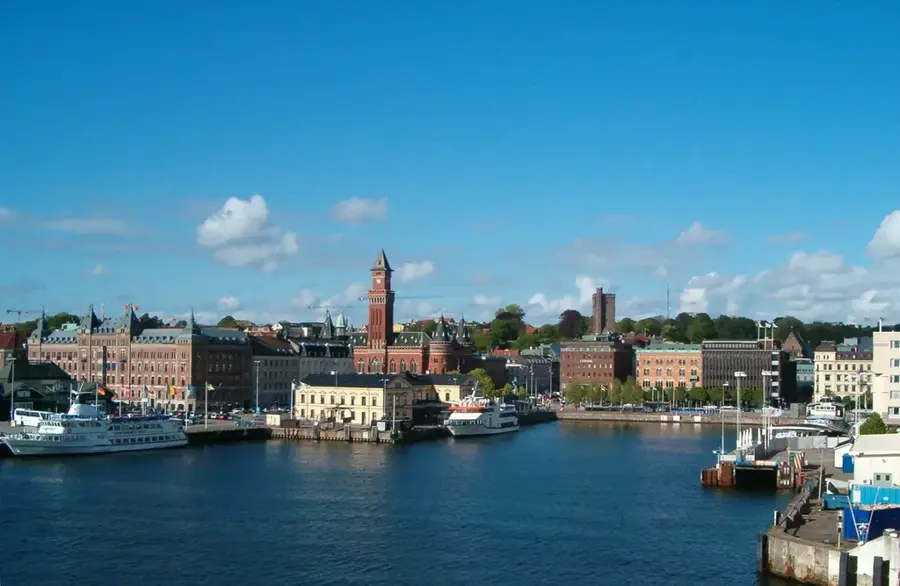
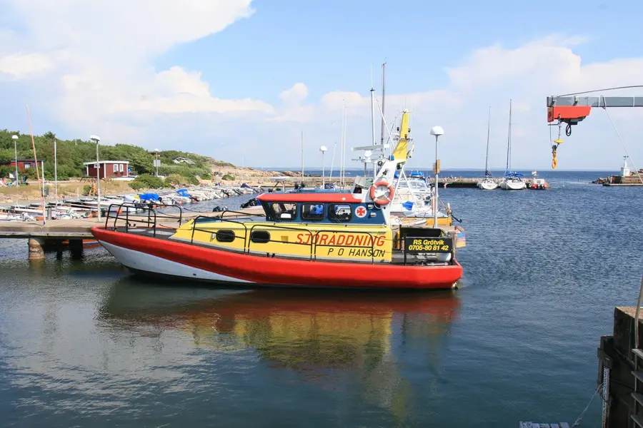
- Nearby: Nyhamnsläge (8 km)
Best time to visit & climate
The most pleasant time to visit is Jun–Aug.
| Jan | Feb | Mar | Apr | May | Jun | Jul | Aug | Sep | Oct | Nov | Dec | |
|---|---|---|---|---|---|---|---|---|---|---|---|---|
| Avg °C | 1 | 1 | 2 | 7 | 11 | 15 | 18 | 18 | 14 | 10 | 6 | 3 |
| Rain mm | 81 | 62 | 50 | 43 | 57 | 81 | 92 | 99 | 69 | 92 | 81 | 86 |
📋 Practical info
Geography
Facts
- The Kullen Lighthouse is positioned 78.5 meters above sea level.
- More than 20 sea caves are located along the rocky coastline.
- Geologically, it is a tectonic horst composed of Precambrian gneiss.
- Stone Age tools and settlements have been discovered in the caves.
- The waters around the peninsula are a protected habitat for porpoises.
- The highest point of the ridge, Håkull, reaches 187 meters in elevation.
Explore nearby
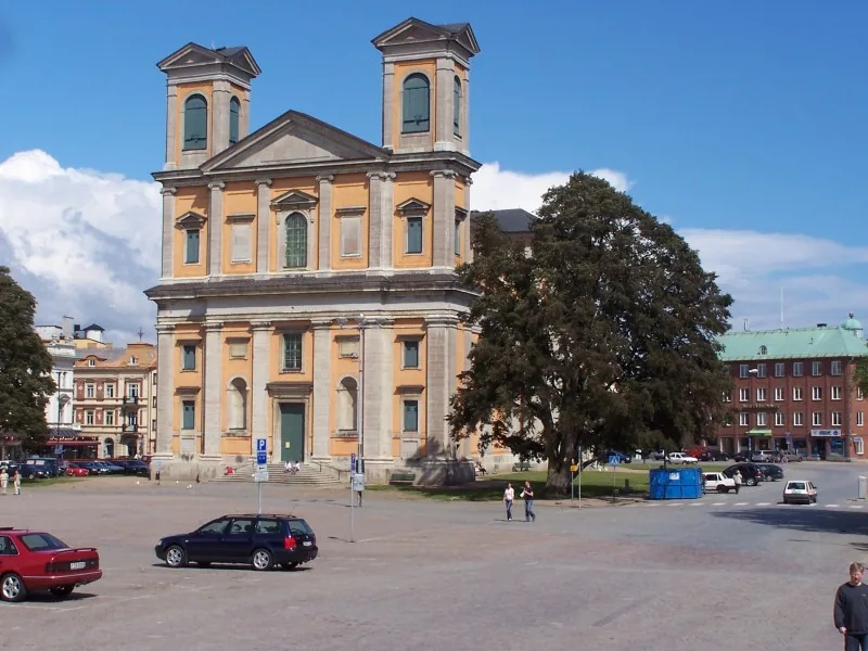
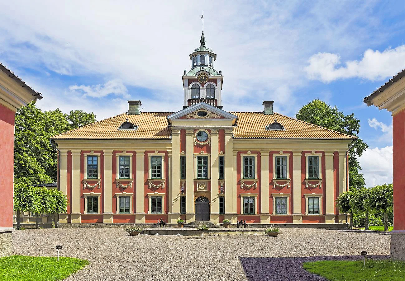
Notable places around
Route planner — Car & Motorhome
Where do you start? We build the route here, with stops and country notes along the way.
© OpenStreetMap contributors · OpenRouteService
Sights in the town Kullaberg (7)
Sights nearby
Frequently asked questions
What is special about Kullaberg?
Where is the Kullen lighthouse located?
Can you visit caves at Kullaberg?
What activities are offered?
Is there an entry fee for the nature reserve?
Kullaberg: where is it located?
Kullaberg: what is there to see?
Kullaberg: when is the best time to visit?
Kullaberg: why is it worth visiting?

Nearby cities